The Forest

Wood, Forest in Monmouthshire

Wales

The Forest

Valve tower, Llandegfedd Reservoir The valve tower is located at the end of a 90 metre long jetty in the SW corner of the reservoir. <a title="https://www.geograph.org.uk/photo/3120607" href="https://www.geograph.org.uk/photo/3120607">Link</a> to a clearer view from the corner of the reservoir.

Llandegfedd Reservoir, also written as Llandegveth Reservoir, is a 174 hectare (430 acre) water supply reservoir which opened in 1965.
Valve tower, Llandegfedd Reservoir Credit: Jaggery

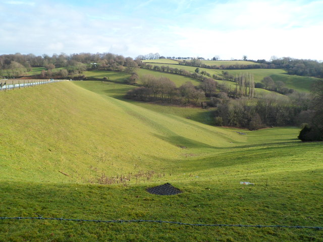
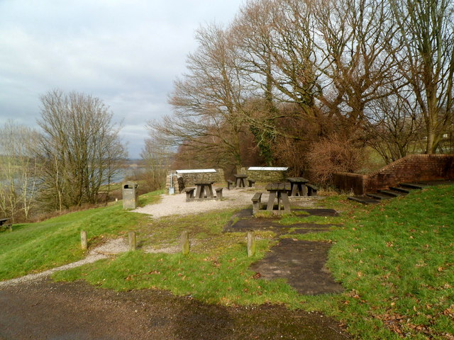
The Forest, located in Monmouthshire, Wales, is a diverse and enchanting woodland that spans over 20,000 acres. This expansive forest is a captivating blend of ancient oak woodlands, conifer plantations, and open moorland, making it a haven for nature enthusiasts and outdoor adventurers alike.

The Forest boasts a rich biodiversity, home to a plethora of flora and fauna. It is renowned for its ancient oak trees, some of which are estimated to be over 500 years old. These majestic trees create a magical atmosphere, particularly in the autumn when their leaves turn vibrant shades of red, orange, and gold.

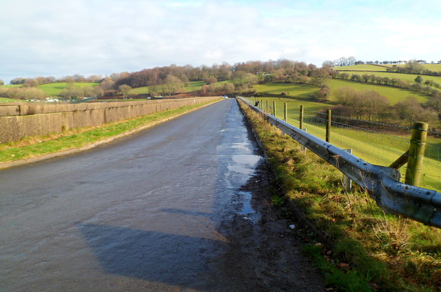
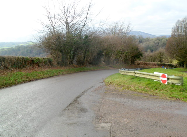
Numerous walking trails crisscross the Forest, offering visitors the opportunity to explore its natural wonders. The Wye Valley Walk, a long-distance footpath, passes through the Forest, providing stunning views of the surrounding landscape. Additionally, the forest is intersected by the Offa's Dyke Path, a national trail that follows the historic earthwork of Offa's Dyke.

Wildlife enthusiasts can spot a variety of animals in the Forest, including red deer, badgers, foxes, and a wide array of bird species. The Forest is also home to several rare and protected species, such as the lesser horseshoe bat and the dormouse.

The Forest is a popular destination for outdoor activities such as hiking, mountain biking, and horse riding. There are designated areas for picnicking and camping, allowing visitors to fully immerse themselves in nature and enjoy a tranquil escape from the bustle of everyday life.

Overall, the Forest in Monmouthshire is a captivating woodland that offers a wealth of natural beauty, wildlife, and recreational opportunities, making it a must-visit destination for nature lovers and outdoor enthusiasts.

If you have any feedback on the listing, please let us know in the comments section below.
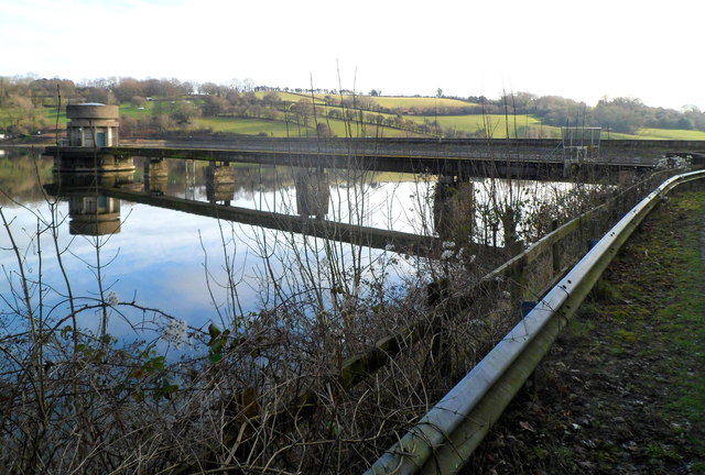
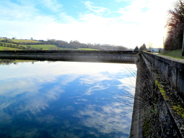
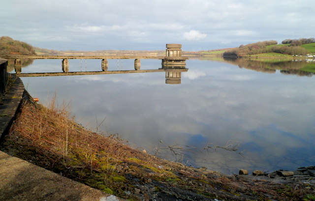
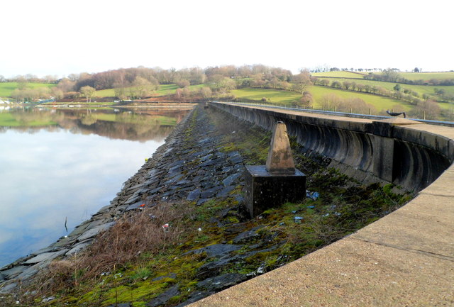
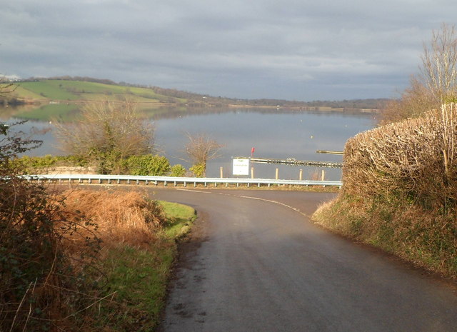
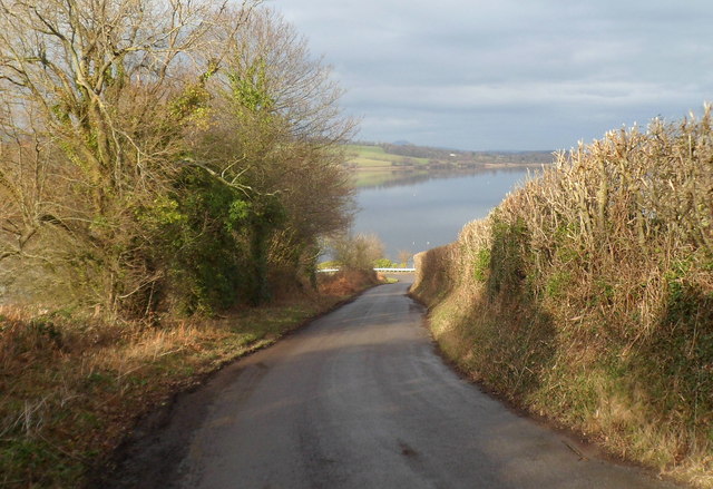
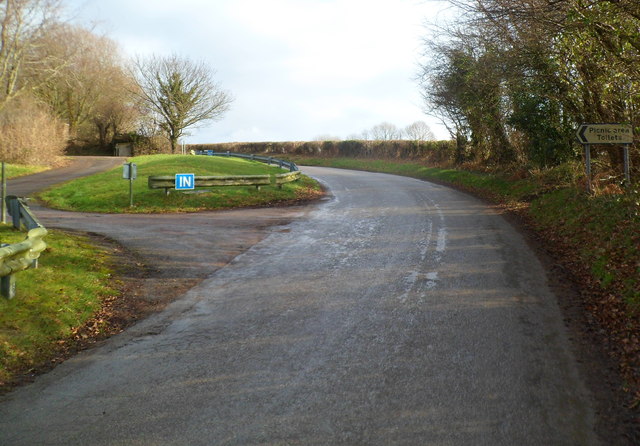
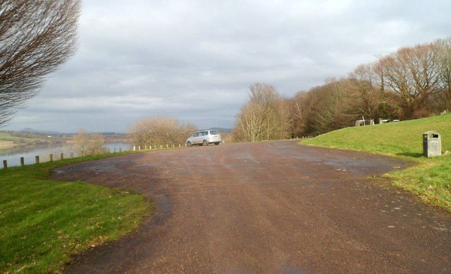
The Forest Images

Images are sourced within 2km of 51.672976/-2.9540389 or Grid Reference ST3497. Thanks to Geograph Open Source API. All images are credited.

Valve tower, Llandegfedd Reservoir The valve tower is located at the end of a 90 metre long jetty in the SW corner of the reservoir. <a title="https://www.geograph.org.uk/photo/3120607" href="https://www.geograph.org.uk/photo/3120607">Link</a> to a clearer view from the corner of the reservoir.

Llandegfedd Reservoir, also written as Llandegveth Reservoir, is a 174 hectare (430 acre) water supply reservoir which opened in 1965.
Valve tower, Llandegfedd Reservoir
The valve tower is located at the end of a 90 metre long jetty in the SW corner of the reservoir. Link to a clearer view from the corner of the reservoir. Llandegfedd Reservoir, also written as Llandegveth Reservoir, is a 174 hectare (430 acre) water supply reservoir which opened in 1965.
Reflections on Llandegfedd Reservoir The February sky is reflected on the SW corner of the reservoir.
Reflections on Llandegfedd Reservoir
The February sky is reflected on the SW corner of the reservoir.
Valve tower viewed from the SW corner of Llandegfedd Reservoir The 90 metre long jetty to the tower is protected by locked gates. <a title="https://www.geograph.org.uk/photo/3120494" href="https://www.geograph.org.uk/photo/3120494">Link</a>
Valve tower viewed from the SW corner of Llandegfedd Reservoir
The 90 metre long jetty to the tower is protected by locked gates. Link
Southern edge of Llandegfedd Reservoir Viewed from the SW corner of the reservoir. At about 375 metres across, this is the narrowest part of the reservoir. Its maximum dimensions are 2km wide (west to east) and 2.2 km long (SSW to NNE).
In the foreground is a triangulation pillar (trig point).
Southern edge of Llandegfedd Reservoir
Viewed from the SW corner of the reservoir. At about 375 metres across, this is the narrowest part of the reservoir. Its maximum dimensions are 2km wide (west to east) and 2.2 km long (SSW to NNE). In the foreground is a triangulation pillar (trig point).
Embankment at the southern edge of Llandegfedd Reservoir The grey barrier at the top of the embankment is at the edge of the road
along the southern edge <a title="https://www.geograph.org.uk/photo/3120645" href="https://www.geograph.org.uk/photo/3120645">Link</a> of the reservoir.
Embankment at the southern edge of Llandegfedd Reservoir
The grey barrier at the top of the embankment is at the edge of the road along the southern edge Link of the reservoir.
Road along the southern edge of Llandegfedd Reservoir The reservoir <a title="https://www.geograph.org.uk/photo/3120645" href="https://www.geograph.org.uk/photo/3120645">Link</a> is on the far side of the wall on the left.
Road along the southern edge of Llandegfedd Reservoir
The reservoir Link is on the far side of the wall on the left.
Western edge of a hairpin bend, Llandegfedd Reservoir
Entrance to fishing and sailing area, Llandegfedd Reservoir The entrance is at the SE corner of the reservoir. Access to the reservoir and its margins beyond the access road is restricted to those who hold permits. Other visitors to the area are asked to keep to the picnic areas and marked footpaths.
Entrance to fishing and sailing area, Llandegfedd Reservoir
The entrance is at the SE corner of the reservoir. Access to the reservoir and its margins beyond the access road is restricted to those who hold permits. Other visitors to the area are asked to keep to the picnic areas and marked footpaths.
Eastern edge of a hairpin bend, Llandegfedd Reservoir Viewed from the road that passes the entrance to the reservoir's eastern picnic site. 
The right turn is the entrance <a title="https://www.geograph.org.uk/photo/3121094" href="https://www.geograph.org.uk/photo/3121094">Link</a> to the fishing and sailing area.
Eastern edge of a hairpin bend, Llandegfedd Reservoir
Viewed from the road that passes the entrance to the reservoir's eastern picnic site. The right turn is the entrance Link to the fishing and sailing area.
Descent to a hairpin bend, Llandegfedd Reservoir Viewed from near the entrance to the reservoir's eastern picnic site.
Descent to a hairpin bend, Llandegfedd Reservoir
Viewed from near the entrance to the reservoir's eastern picnic site.
Entrance to Llandegfedd Reservoir's eastern picnic site Located high above the reservoir, the eastern picnic site gives extensive views 
of the reservoir and surrounding countryside.
Entrance to Llandegfedd Reservoir's eastern picnic site
Located high above the reservoir, the eastern picnic site gives extensive views of the reservoir and surrounding countryside.
Picnic area car park, Llandegfedd Reservoir From the high ground of the car park and eastern picnic area, 
there are extensive views of the reservoir and surrounding countryside.
Picnic area car park, Llandegfedd Reservoir
From the high ground of the car park and eastern picnic area, there are extensive views of the reservoir and surrounding countryside.
Picnic area, Llandegfedd Reservoir The picnic tables are in the reservoir's eastern picnic area.
Picnic area, Llandegfedd Reservoir
The picnic tables are in the reservoir's eastern picnic area.
Exit road from eastern picnic site,  Llandegfedd Reservoir The road from Coed-y-paen descends towards the reservoir. <a title="https://www.geograph.org.uk/photo/3121112" href="https://www.geograph.org.uk/photo/3121112">Link</a>
Exit road from eastern picnic site, Llandegfedd Reservoir
The road from Coed-y-paen descends towards the reservoir. Link
Road to Coed-y-paen The road from Llandegfedd Reservoir climbs towards Coed-y-paen.
Road to Coed-y-paen
The road from Llandegfedd Reservoir climbs towards Coed-y-paen.
Stile to a footpath to the eastern picnic area, Llandegfedd Reservoir A sign at the edge of the road to Coed-y-paen points left past the stile towards the footpath.
Stile to a footpath to the eastern picnic area, Llandegfedd Reservoir
A sign at the edge of the road to Coed-y-paen points left past the stile towards the footpath.
Entrance to Llandegfedd Farm Park Viewed from the edge of the road from Llandegfedd Reservoir to Coed-y-paen.
After a recent brief cold spell at the start of February 2012, the ground is muddy with traces of snow remaining here and there.
Entrance to Llandegfedd Farm Park
Viewed from the edge of the road from Llandegfedd Reservoir to Coed-y-paen. After a recent brief cold spell at the start of February 2012, the ground is muddy with traces of snow remaining here and there.
Traces of recent snow in a field near Coed-y-paen After a brief cold spell at the start of February 2012, a thin layer of snow partially covers a field adjacent to the road from  Llandegfedd Reservoir to Coed-y-paen.
Traces of recent snow in a field near Coed-y-paen
After a brief cold spell at the start of February 2012, a thin layer of snow partially covers a field adjacent to the road from Llandegfedd Reservoir to Coed-y-paen.
Show me another place!

The Forest is located at Grid Ref: ST3497 (Lat: 51.672976, Lng: -2.9540389)

Unitary Authority: Monmouthshire

Police Authority: Gwent

What 3 Words

///collapsed.slate.forever. Near Llangybi, Monmouthshire

Related Wikis

Coed-y-paen

Coed-y-paen is a village in South Wales, situated at the south-eastern end of Llandegfedd Reservoir, 2.5 miles (4 km) north-west of Llangybi. HM Prison...

HM Prison Prescoed

HM Prison Prescoed (Welsh: Carchar Prescoed EF) is a Category D men's open prison, located in Coed-y-paen, three miles from Usk in Monmouthshire, Wales...

Llandegveth

Llandegveth (Welsh: Llandegfedd) is a village in Monmouthshire, south east Wales. == Location == Llandegveth is located between Cwmbran, in Torfaen, and...

Tregrug Castle

Tregrug Castle (Welsh: Castell Tregrug; Welsh pronunciation: [ˈkastɛɬ trɛˈɡriːɡ]) or Llangibby Castle is a ruin in Monmouthshire, Wales, located about...

Nearby Amenities

Located within 500m of 51.672976,-2.9540389
Barrier: stile
Foot: yes
Lat/Long: 51.6714885/-2.9539468
Power: pole
Lat/Long: 51.6771342/-2.9534474
Power: pole
Lat/Long: 51.6765504/-2.955054
Power: pole
Lat/Long: 51.6757238/-2.9574224
Power: pole
Lat/Long: 51.674972/-2.9595387
Direction: 145
Generator Method: photovoltaic
Generator Output Electricity: yes
Generator Solar Modules: 14
Generator Source: solar
Generator Type: solar_photovoltaic_panel
Location: roof
Power: generator
Lat/Long: 51.6699951/-2.9530397
The data included in this document is from www.openstreetmap.org. The data is made available under ODbL.

Have you been to The Forest?

Leave your review of The Forest below (or comments, questions and feedback).