Oak Wood

Wood, Forest in Denbighshire

Wales

Oak Wood

View across Reynold's Grave View across the fields which according to the OS map has the odd name of Reynold's Grave.
View across Reynold's Grave Credit: Jeff Buck

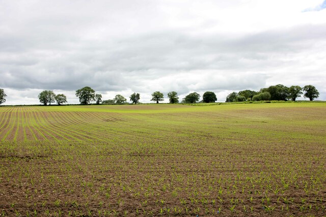
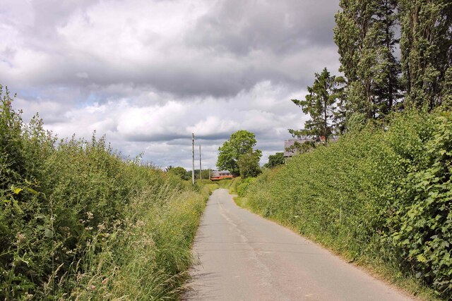
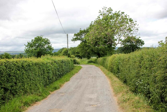
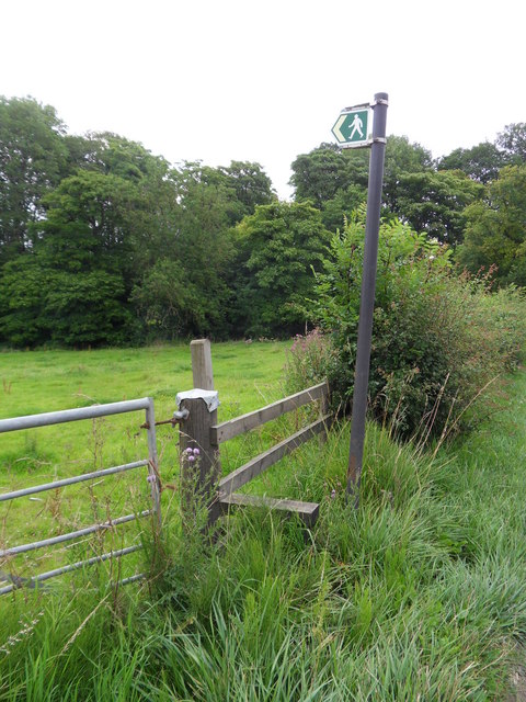
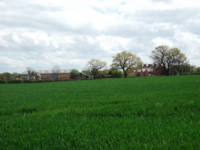
Oak Wood is a magnificent forest located in Denbighshire, a county in northeast Wales. Spanning a vast area of lush greenery, it is a captivating natural wonder that has been attracting visitors for centuries. The wood is primarily composed of oak trees, hence its name, and is renowned for its rich biodiversity and scenic beauty.

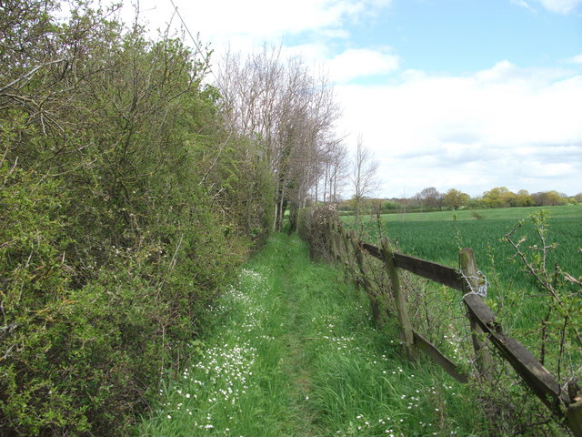
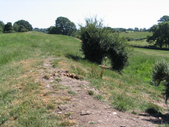
The forest is home to a diverse range of flora and fauna, offering a haven for numerous species of plants and animals. It boasts a dense canopy of towering oak trees that provide ample shade and create a sense of tranquility throughout the woodland. The forest floor is adorned with a vibrant carpet of mosses, ferns, and wildflowers, adding to its enchanting ambiance.

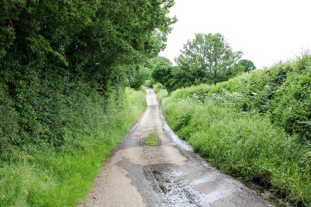
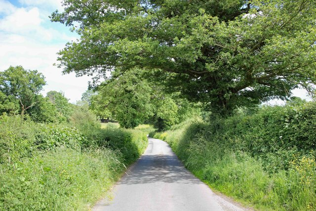
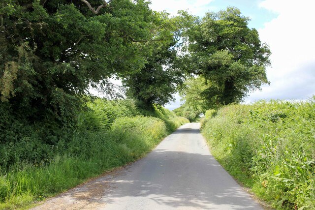
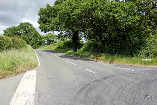
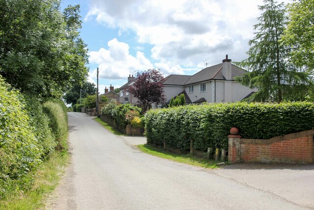
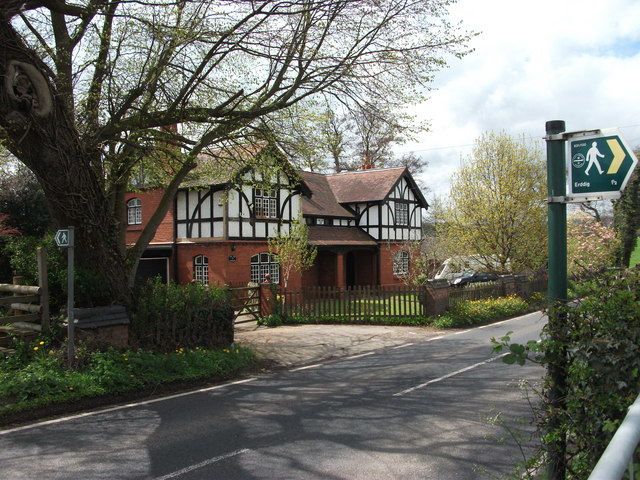
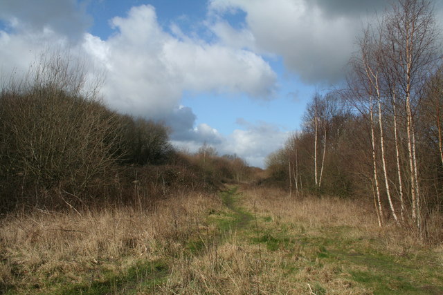
Oak Wood offers a variety of recreational activities for nature enthusiasts and outdoor adventurers. There are several well-marked trails that wind through the forest, allowing visitors to explore its hidden gems and discover its natural wonders. These paths provide opportunities for hiking, jogging, and birdwatching, making it a popular destination for nature lovers and avid photographers.

The forest also houses a number of picnic areas and viewpoints, offering picturesque spots for visitors to relax and immerse themselves in the serenity of the surroundings. The peaceful atmosphere, coupled with the melodious sound of birdsong, creates a truly idyllic experience for those seeking solace in nature.

Overall, Oak Wood in Denbighshire is a captivating woodland that showcases the beauty of Wales' natural landscapes. Whether one is looking for a peaceful retreat, a recreational adventure, or simply a place to connect with nature, Oak Wood is a must-visit destination that never fails to leave a lasting impression.

If you have any feedback on the listing, please let us know in the comments section below.
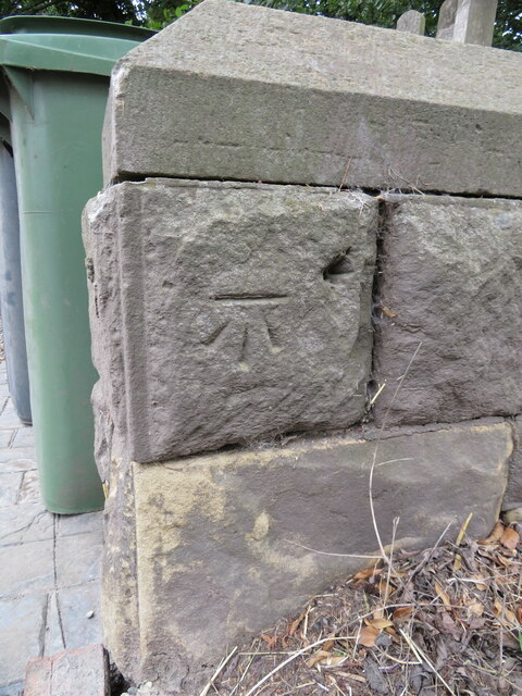
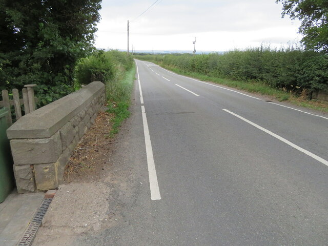
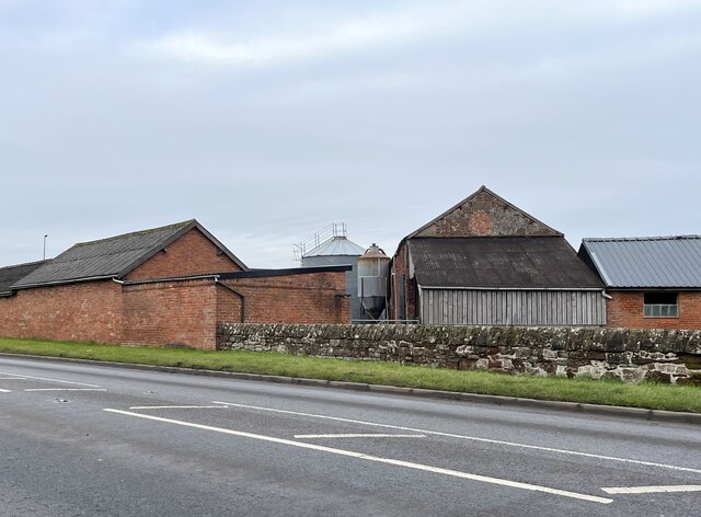
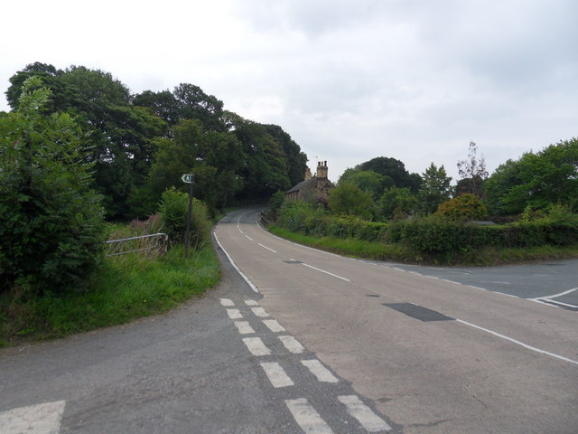
Oak Wood Images

Images are sourced within 2km of 53.00066/-2.984411 or Grid Reference SJ3445. Thanks to Geograph Open Source API. All images are credited.

View across Reynold's Grave View across the fields which according to the OS map has the odd name of Reynold's Grave.
View across Reynold's Grave
View across the fields which according to the OS map has the odd name of Reynold's Grave.
Woodhouse Lane Heading south along the narrow Woodhouse Lane towards Cock Bank.
Woodhouse Lane
Heading south along the narrow Woodhouse Lane towards Cock Bank.
Bwgan-ddu Lane Looking east along Bwgan-ddu Lane between Sontley and Cock Bank.
Bwgan-ddu Lane
Looking east along Bwgan-ddu Lane between Sontley and Cock Bank.
Bwgan-ddu Lane Looking west along Bwgan-ddu Lane between Sontley and Cock Bank.
Bwgan-ddu Lane
Looking west along Bwgan-ddu Lane between Sontley and Cock Bank.
Cockbank Lane Looking North-northwest along Cockbank Lane towards Pentre Mailyn south of Wrexham.
Cockbank Lane
Looking North-northwest along Cockbank Lane towards Pentre Mailyn south of Wrexham.
The A528 (Overton Road) at Cock Bank Looking north along the A528 (Overton Road) at Cock Bank at the junction of Cockbank Lane and the B5130 (Pentre Nant Lane).
The A528 (Overton Road) at Cock Bank
Looking north along the A528 (Overton Road) at Cock Bank at the junction of Cockbank Lane and the B5130 (Pentre Nant Lane).
Lane near Woodlands Cottages Heading south towards the B5426.
Lane near Woodlands Cottages
Heading south towards the B5426.
Lane to Sontley Road Marked on the OS map as a short on-road cycle route this lane heads west towards Sontley Road.
Lane to Sontley Road
Marked on the OS map as a short on-road cycle route this lane heads west towards Sontley Road.
Benchmark on Black Brook Bridge Ordnance Survey benchmark on Black Brook Bridge parapet alongside the B5426, east of Rhosllanerchrugog. Levelled at 92.162m above Newlyn Datum, verified 1959. For a wider view see: <a href="https://www.geograph.org.uk/photo/7541558">SJ3245 : The B5426 over Black Brook Bridge</a>  Benchmark database: <span class="nowrap"><a title="https://www.bench-marks.org.uk/bm197126" rel="nofollow ugc noopener" href="https://www.bench-marks.org.uk/bm197126">Link</a><img style="margin-left:2px;" alt="External link" title="External link - shift click to open in new window" src="https://s1.geograph.org.uk/img/external.png" width="10" height="10"/></span>
Benchmark on Black Brook Bridge
Ordnance Survey benchmark on Black Brook Bridge parapet alongside the B5426, east of Rhosllanerchrugog. Levelled at 92.162m above Newlyn Datum, verified 1959. For a wider view see: SJ3245 : The B5426 over Black Brook Bridge Benchmark database: LinkExternal link
The B5426 over Black Brook Bridge Looking west across Black Brook Bridge, east of Rhosllanerchrugog. There is an Ordnance Survey benchmark on the corner of the bridge parapet on the left: <a href="https://www.geograph.org.uk/photo/7541548">SJ3245 : Benchmark on Black Brook Bridge</a>
The B5426 over Black Brook Bridge
Looking west across Black Brook Bridge, east of Rhosllanerchrugog. There is an Ordnance Survey benchmark on the corner of the bridge parapet on the left: SJ3245 : Benchmark on Black Brook Bridge
Farm buildings at Eyton House
The B5426 Cross roads along the B5426, right turn to Gyfelia, left into Sontley Road.
The B5426
Cross roads along the B5426, right turn to Gyfelia, left into Sontley Road.
Gyfelia Path Footpath adjacent to Sontley Road off the B5426, leads to Gyfelia Wood.
Gyfelia Path
Footpath adjacent to Sontley Road off the B5426, leads to Gyfelia Wood.
St Deiniol's Built in 1939, St Deiniol's, Eyton.
St Deiniol's
Built in 1939, St Deiniol's, Eyton.
Llwybr Clawdd Wat heading North towards Sontley The Wat's Dyke Way covers 99km from Llanymynech to Holywell and this section is along beside the earthwork.
<span class="nowrap"><a title="http://www.watsdykeway.org/1.html" rel="nofollow ugc noopener" href="http://www.watsdykeway.org/1.html">Link</a><img style="margin-left:2px;" alt="External link" title="External link - shift click to open in new window" src="https://s1.geograph.org.uk/img/external.png" width="10" height="10"/></span>
Llwybr Clawdd Wat heading North towards Sontley
The Wat's Dyke Way covers 99km from Llanymynech to Holywell and this section is along beside the earthwork. LinkExternal link
Pair of "Mock Tudor" cottages at Black Brook bridge Great pair of cottages with superb gardens at the rear.
<a href="https://www.geograph.org.uk/photo/2937384">SJ3245 : Well organised kitchen garden</a>
Pair of "Mock Tudor" cottages at Black Brook bridge
Great pair of cottages with superb gardens at the rear. SJ3245 : Well organised kitchen garden
Well organised kitchen garden Well cared for garden and cottages beside Wat's Dyke Path.
<a href="https://www.geograph.org.uk/photo/2937374">SJ3245 : Pair of "Mock Tudor" cottages at Black Brook bridge</a>
Well organised kitchen garden
Well cared for garden and cottages beside Wat's Dyke Path. SJ3245 : Pair of "Mock Tudor" cottages at Black Brook bridge
Moreton View and Clwt Cottages Farm steading with modern buildings and a row of cottages across the road. The crop in the foreground is winter wheat.
Moreton View and Clwt Cottages
Farm steading with modern buildings and a row of cottages across the road. The crop in the foreground is winter wheat.
Show me another place!

Oak Wood is located at Grid Ref: SJ3445 (Lat: 53.00066, Lng: -2.984411)

Unitary Authority: Wrexham

Police Authority: North Wales

What 3 Words

///piston.starfish.petulant. Near Marchwiel, Wrexham

Nearby Locations

Oak Wood Yorke's Dingles

Related Wikis

Wrexham Maelor

Wrexham Maelor (Welsh: Wrecsam Maelor) was a local government district with borough status, being one of six districts in the county of Clwyd, north-east...

Marchwiel Hall

Marchwiel Hall is a Grade II listed building in the village of Marchwiel, Wrexham County Borough in North Wales. == History == Marchwiel Hall was a seat...

Marchwiel

Marchwiel (Welsh: Marchwiail; standardised: Marchwiel) is a village and community in Wrexham County Borough, Wales. It is about 2 miles south-east of Wrexham...

Marchwiel railway station

Marchwiel railway station was a station in Marchwiel, Wrexham, Wales. The station was opened on 2 November 1895 and closed on 10 September 1962. ��2�...

Erddig

Erddig Hall (Welsh: Neuadd Erddig; or simply Erddig; Welsh pronunciation: [ˈɛrðɪɡ]) is a Grade-I listed National Trust property near Wrexham, North Wales...

Bonc yr Hafod

Bonc yr Hafod (Welsh for 'Hafod Bank') is a country park, on the former site of Hafod Colliery, near Johnstown and Pentre Bychan in Wrexham County Borough...

Wat's Dyke

Wat's Dyke (Welsh: Clawdd Wat) is a 40-mile (64 km) linear earthwork running through the northern Welsh Marches from Basingwerk Abbey on the River Dee...

Johnstown and Hafod railway station

Johnstown & Hafod was a minor station on the Great Western Railway's London to Birkenhead main line. Although the station is gone the railway is still...

Nearby Amenities

Located within 500m of 53.00066,-2.984411
Building: yes
Lat/Long: 52.9968325/-2.9857715
Direction: 185
Generator Method: photovoltaic
Generator Output Electricity: yes
Generator Solar Modules: 16
Generator Source: solar
Generator Type: solar_photovoltaic_panel
Location: roof
Power: generator
Lat/Long: 53.0031645/-2.9905067
Direction: 185
Generator Method: photovoltaic
Generator Output Electricity: yes
Generator Solar Modules: 10
Generator Source: solar
Generator Type: solar_photovoltaic_panel
Location: roof
Power: generator
Lat/Long: 53.0028649/-2.9906014
The data included in this document is from www.openstreetmap.org. The data is made available under ODbL.

Have you been to Oak Wood?

Leave your review of Oak Wood below (or comments, questions and feedback).