Heathy Park

Downs, Moorland in Herefordshire

England

Heathy Park

Old quarry west of Birtley at the southern edge of Pedwardine Wood
Old quarry west of Birtley Credit: Andrew Longton

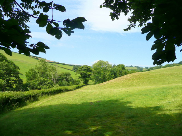
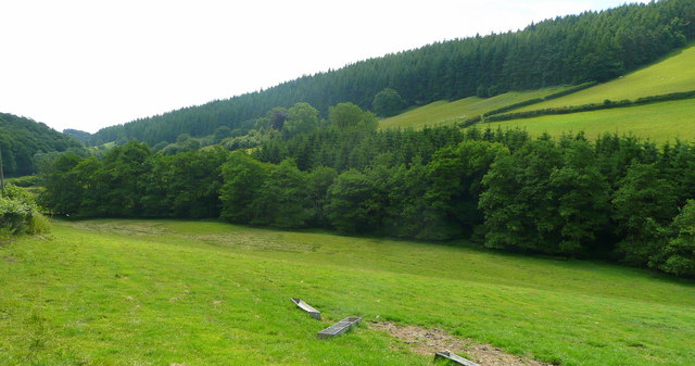
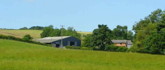
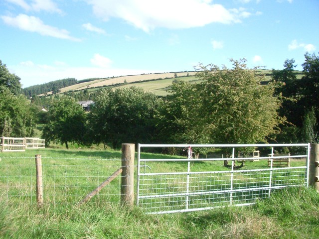
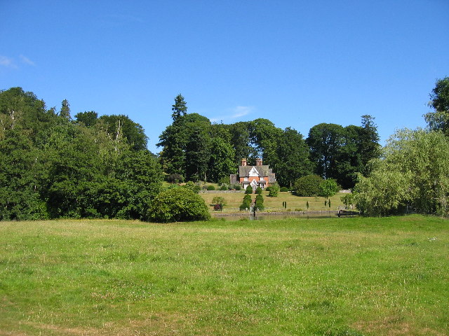
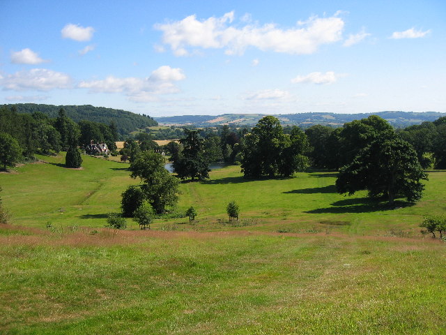
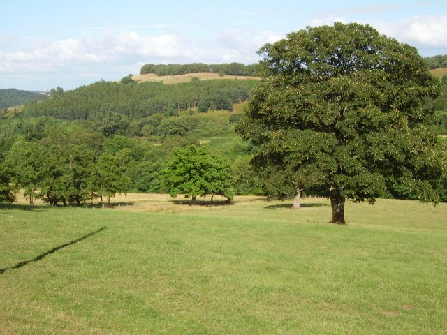
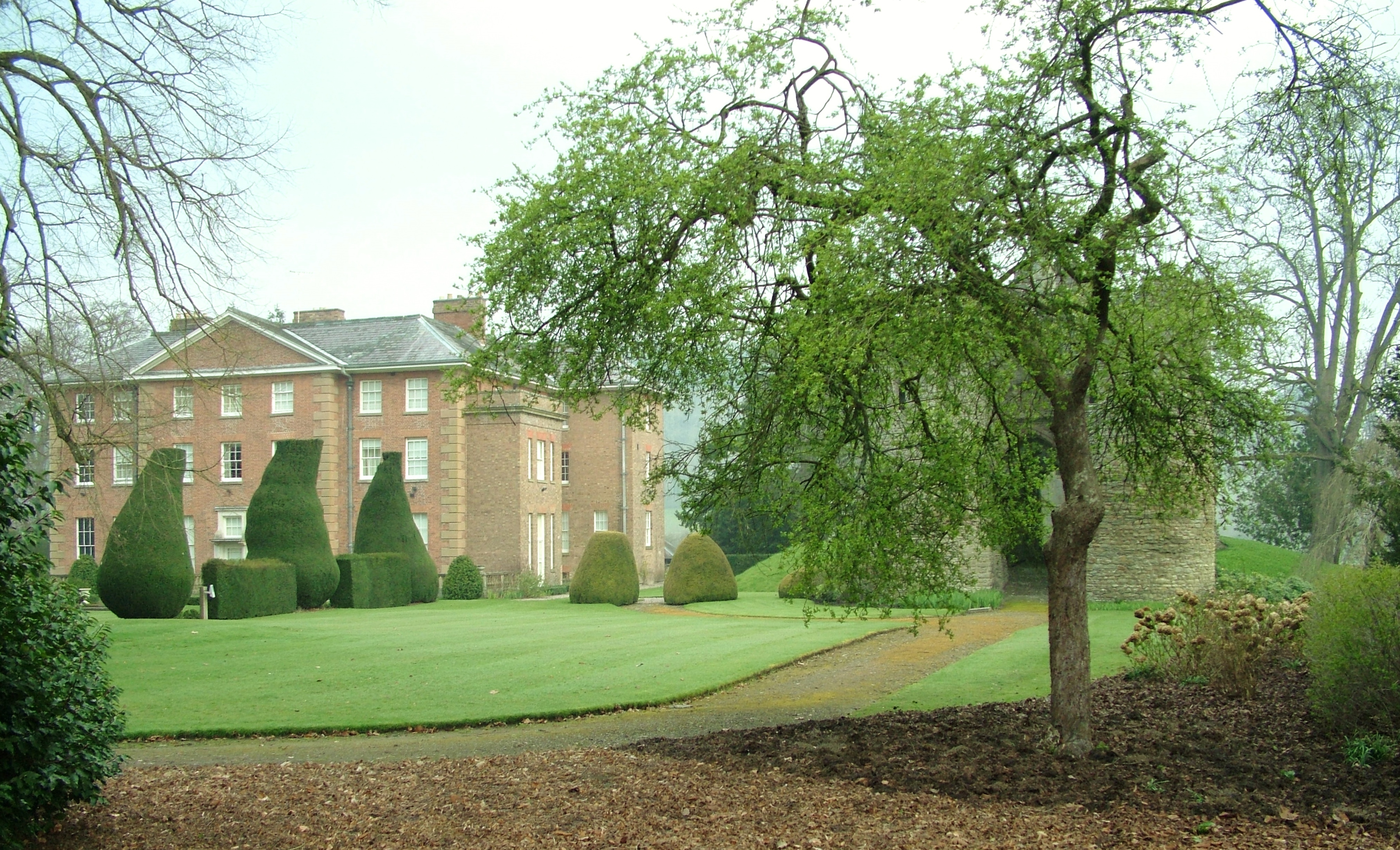
Healthy Park is a picturesque area located in Herefordshire, England. Known for its stunning landscapes, the park is characterized by its rolling downs and vast moorlands. Covering an area of approximately 500 square kilometers, it offers visitors a unique opportunity to immerse themselves in the natural beauty of the region.

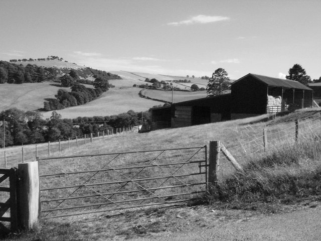
The downs in Healthy Park are adorned with lush green grass and are dotted with a variety of plant species, creating a vibrant and colorful landscape. The gentle slopes of the downs provide visitors with panoramic views of the surrounding countryside, making it a popular spot for hiking and picnicking.

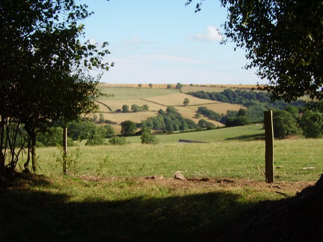
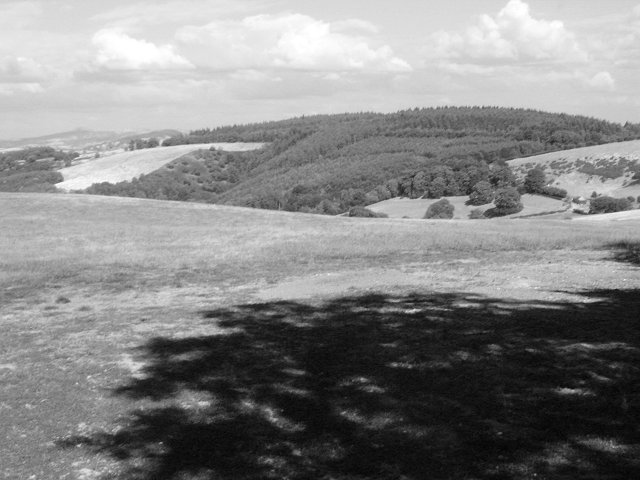
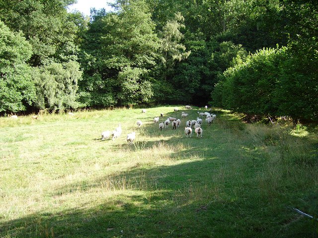
The moorlands in Healthy Park are marked by their wild and rugged terrain. Here, visitors can witness the untamed beauty of nature, with vast stretches of heather and gorse covering the landscape. The moorlands are also home to a diverse range of wildlife, including birds of prey, wild ponies, and various species of deer.

In addition to its natural beauty, Healthy Park offers a range of recreational activities. The park has well-maintained walking and cycling trails, allowing visitors to explore the area at their own pace. There are also designated areas for camping and fishing, making it an ideal destination for outdoor enthusiasts.

Overall, Healthy Park in Herefordshire is a haven for nature lovers. Its downs and moorlands offer a peaceful retreat from the hustle and bustle of everyday life, providing visitors with a chance to connect with the natural world and enjoy the tranquility of the countryside.

If you have any feedback on the listing, please let us know in the comments section below.
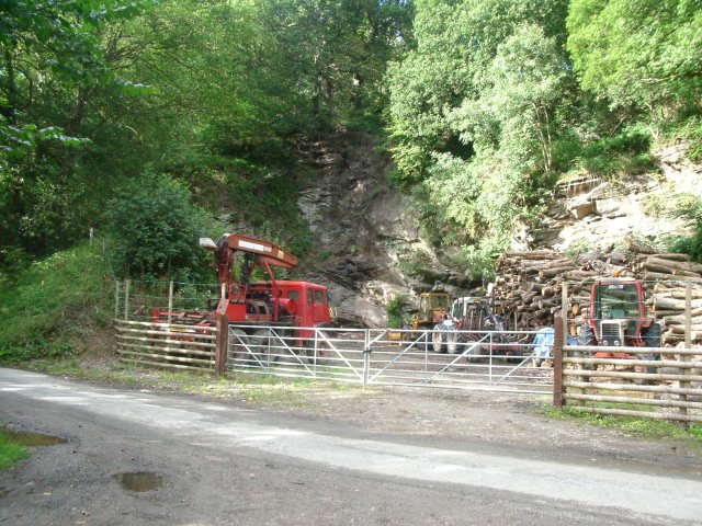
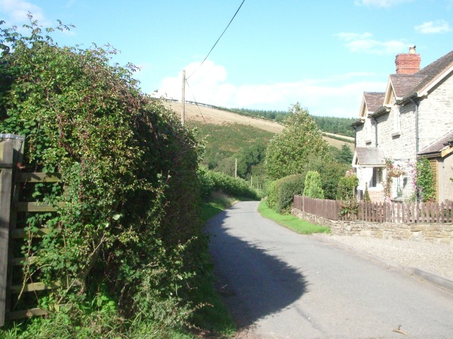
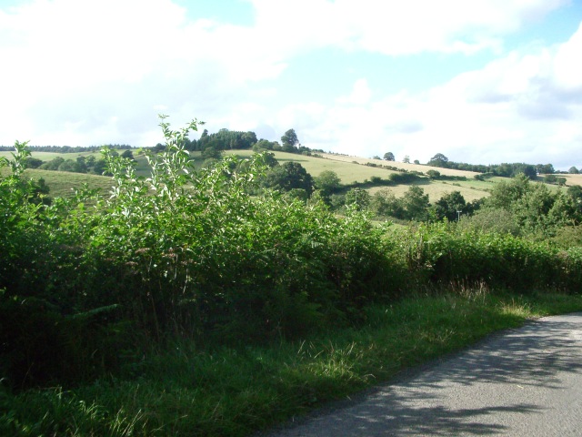
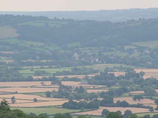
Heathy Park Images

Images are sourced within 2km of 52.331086/-2.9566335 or Grid Reference SO3470. Thanks to Geograph Open Source API. All images are credited.

Old quarry west of Birtley at the southern edge of Pedwardine Wood
Old quarry west of Birtley
at the southern edge of Pedwardine Wood
The lane near Boresford Farm looking north
The lane near Boresford Farm
looking north
Hillside looking north towards Hill House Farm from the lane near Willey Lodge
Hillside
looking north towards Hill House Farm from the lane near Willey Lodge
Leintwardine from Harley's Mountain Leintwardine in the distance from Harley's Mountain, Birtley.
Leintwardine from Harley's Mountain
Leintwardine in the distance from Harley's Mountain, Birtley.
Grazing land east of Boresford Farm The valley is wedged between Harley's Mountain to the left and Oak Hill to the right.
Grazing land east of Boresford Farm
The valley is wedged between Harley's Mountain to the left and Oak Hill to the right.
Wooded valley View between Birtley and Boresford Farm, looking east.
The wood on the hillside is Arthur Ridges Wood.
Wooded valley
View between Birtley and Boresford Farm, looking east. The wood on the hillside is Arthur Ridges Wood.
Hick's Farm View west from Boresford Lane.
Hick's Farm
View west from Boresford Lane.
Harley's Mountain looking south-east from the lane, across Boresford Farm
Harley's Mountain
looking south-east from the lane, across Boresford Farm
Brampton Bryan Park, Park Cottage Park Cottage, a mid-19th century brick lodge in Brampton Bryan Park. Taken from the Herefordshire Trail SMR record at <span class="nowrap"><a title="http://www.smr.herefordshire.gov.uk/db.php?smr_no=2461" rel="nofollow ugc noopener" href="http://www.smr.herefordshire.gov.uk/db.php?smr_no=2461">Link</a><img style="margin-left:2px;" alt="External link" title="External link - shift click to open in new window" src="https://s1.geograph.org.uk/img/external.png" width="10" height="10"/></span>
Brampton Bryan Park, Park Cottage
Park Cottage, a mid-19th century brick lodge in Brampton Bryan Park. Taken from the Herefordshire Trail SMR record at LinkExternal link
Brampton Bryan Park Looking NE from the Herefordshire Trail over Brampton Bryan Park
Brampton Bryan Park
Looking NE from the Herefordshire Trail over Brampton Bryan Park
Through the gap View through a hedge into Herefordshire. From the hill road, high above Stanage, Radnorshire.
Through the gap
View through a hedge into Herefordshire. From the hill road, high above Stanage, Radnorshire.
Pedwardine Wood A distant view of the steep side of Pedwardine Wood. When I mapped some of it in the 1980's the steep facing slope was covered in mature Douglas Firs. They were cut down, and the new generation is growing fast. Part of the Brampton Bryan Estate and frequently used for orienteering. 
Taken from near Folly Farm over the border.
Pedwardine Wood
A distant view of the steep side of Pedwardine Wood. When I mapped some of it in the 1980's the steep facing slope was covered in mature Douglas Firs. They were cut down, and the new generation is growing fast. Part of the Brampton Bryan Estate and frequently used for orienteering. Taken from near Folly Farm over the border.
Field on the edge of Stanage Park Grassland, near Black Venn
Field on the edge of Stanage Park
Grassland, near Black Venn
Green Farm Cross border (Wales-England) view towards Brampton Bryan Park.
Green Farm
Cross border (Wales-England) view towards Brampton Bryan Park.
Green Farm Farm on the Radnorshire - Herefordshire border.
Green Farm
Farm on the Radnorshire - Herefordshire border.
Wales - England border. Taken leaning on a gate on the border, looking at a Herefordshire field.
Wales - England border.
Taken leaning on a gate on the border, looking at a Herefordshire field.
Stanage Park woodland Woodland along Stonewall Hill, North of Hill House Farm entrance
Stanage Park woodland
Woodland along Stonewall Hill, North of Hill House Farm entrance
Roadside and accessway. Accessway to Penwardine off Newton to Brampton Bryan road. Shows hillside and fields.
Roadside and accessway.
Accessway to Penwardine off Newton to Brampton Bryan road. Shows hillside and fields.
Show me another place!

Heathy Park is located at Grid Ref: SO3470 (Lat: 52.331086, Lng: -2.9566335)

Unitary Authority: County of Herefordshire

Police Authority: West Mercia

What 3 Words

///launch.skinning.onions. Near Bucknell, Shropshire

Nearby Locations

Heathy Park Black Ven Wood

Related Wikis

Stanage Park

Stanage Park is a Grade II* listed Welsh country house set in a large park located some 3 miles (4.8 km) east of Knighton, Powys near the settlement of...

Birtley, Herefordshire

Birtley is a hamlet in north Herefordshire, in England. It is situated to the west of Ludlow and Leominster, approximately 16 km (9.9 mi) from both towns...

Brampton Bryan Hall

Brampton Bryan Hall is a 17th-century English country house in the village of Brampton Bryan, Herefordshire. It is still owned by the descendants of Robert...

Brampton Bryan Castle

Brampton Bryan Castle is a ruined medieval castle in the small village of Brampton Bryan in north-western Herefordshire, England, 50m south of the River...

Nearby Amenities

Located within 500m of 52.331086,-2.9566335
Oak Hill
Natural: peak
Source Geometry: OS-historic-25k-OSM_Limited
Source Name: local_knowledge;OS-historic-25k-OSM_Limited
Lat/Long: 52.3283899/-2.9612414
Natural: peak
Source Geometry: OS-historic-25k-OSM_Limited
Lat/Long: 52.3296101/-2.9524448
Natural: spring
Source: OS-historic-25k-OSM_Limited
Lat/Long: 52.331301/-2.9508559
Natural: spring
Source: OS-historic-25k-OSM_Limited
Lat/Long: 52.3295649/-2.9618636
The data included in this document is from www.openstreetmap.org. The data is made available under ODbL.

Have you been to Heathy Park?

Leave your review of Heathy Park below (or comments, questions and feedback).