Egno Moss
Downs, Moorland in Angus
Scotland
Egno Moss
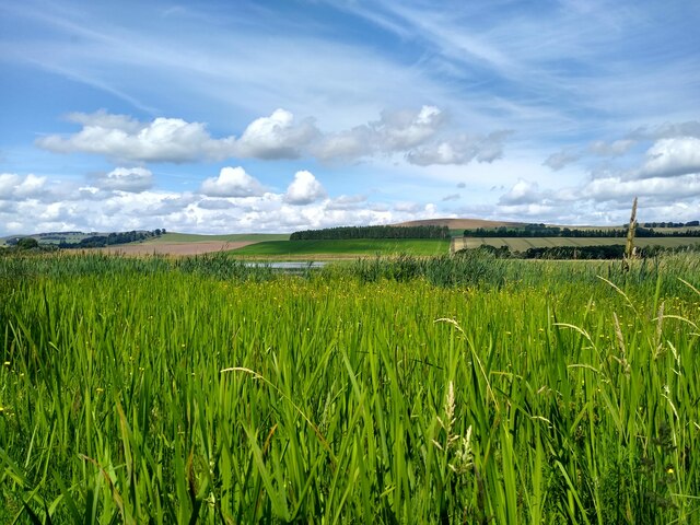
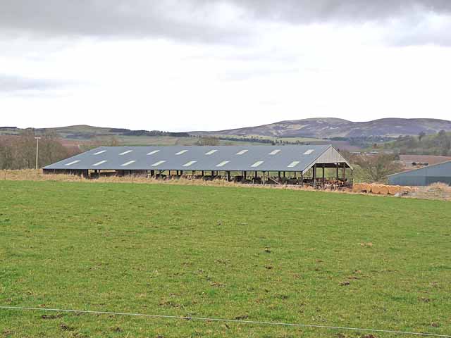
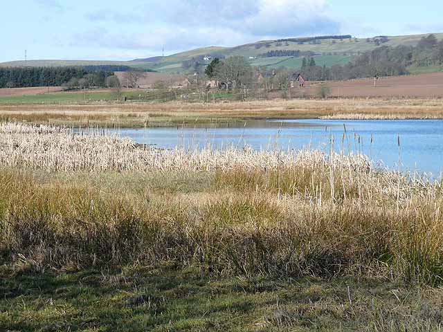
Egno Moss, Angus, is a picturesque and serene moorland located in the Downs region of Scotland. Encompassing an area of approximately 200 acres, it is known for its unique and diverse ecosystem, making it a popular destination for nature enthusiasts and birdwatchers.
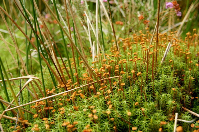
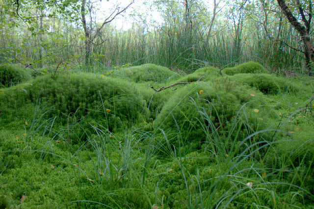
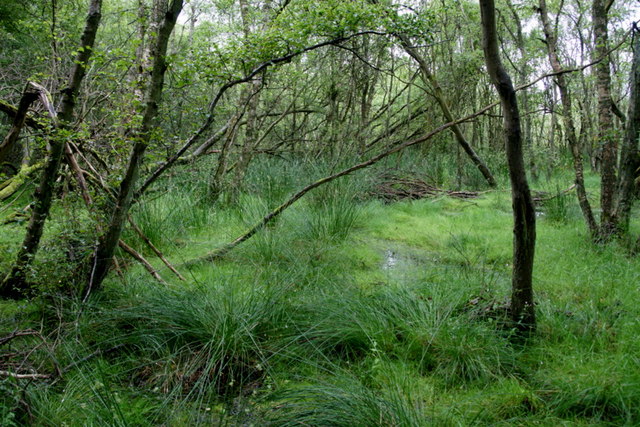
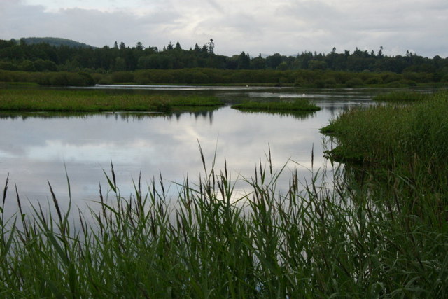
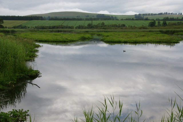
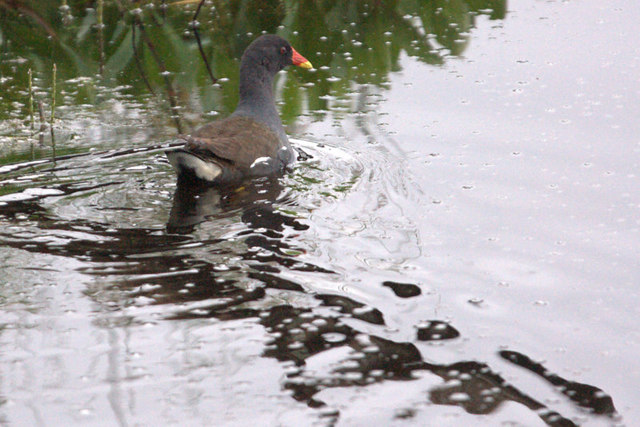
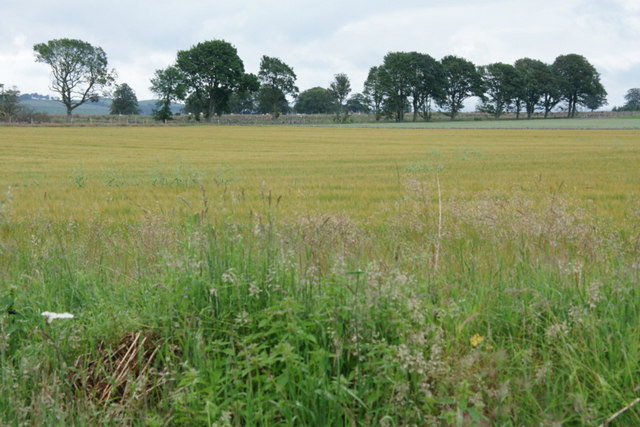
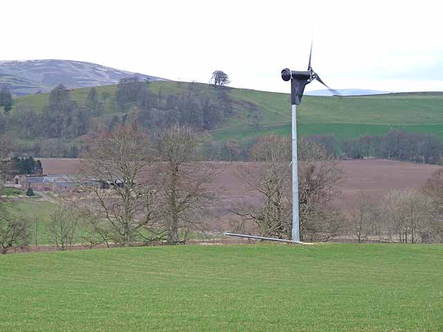
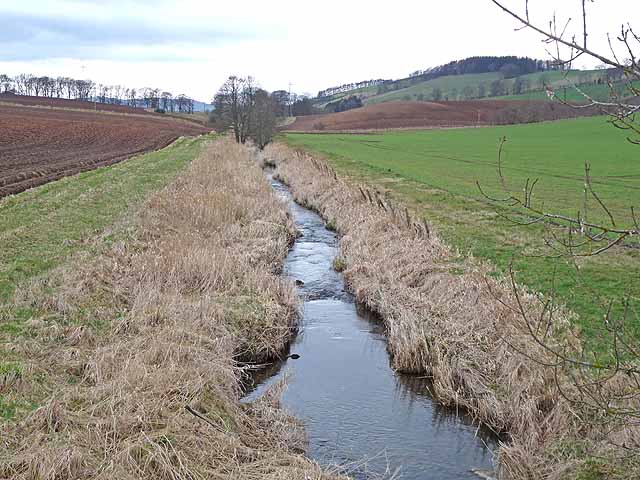
The landscape of Egno Moss is characterized by rolling hills, heather-covered moorlands, and scattered patches of woodland. The area is teeming with a wide range of flora and fauna, including various species of wildflowers, mosses, and heather. This rich biodiversity provides a habitat for numerous bird species, such as red grouse, curlews, and golden plovers, making it a haven for birdwatching enthusiasts.
In addition to its natural beauty, Egno Moss also holds historical significance. There are remnants of ancient settlements, including stone circles and burial mounds, which hint at human occupation in the area dating back thousands of years. These archaeological sites provide insight into the lives and cultures of the people who once called Egno Moss home.
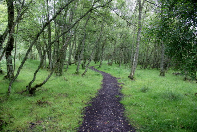
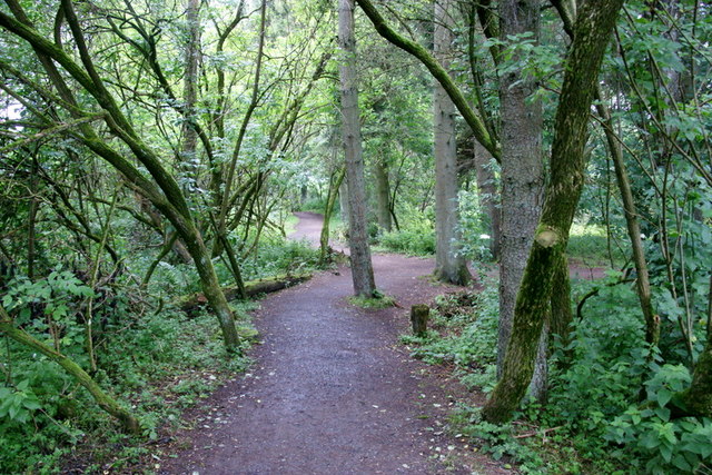
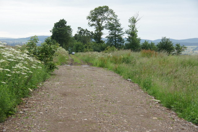
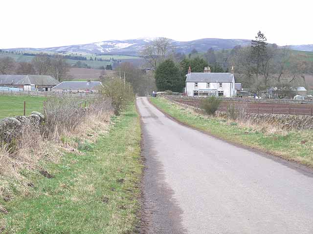
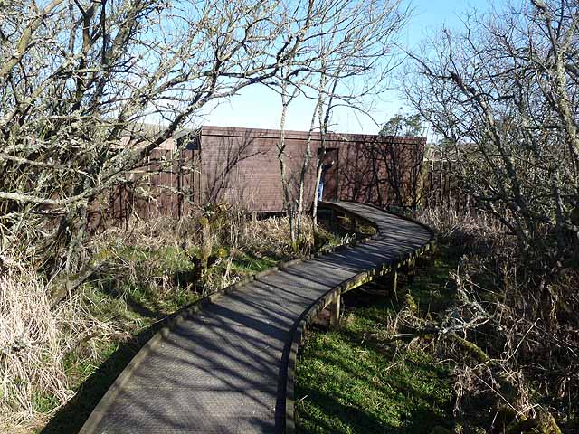
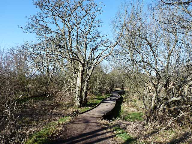
The moorland is easily accessible, with well-maintained footpaths and trails that allow visitors to explore the area. It provides ample opportunities for outdoor activities like hiking, nature walks, and photography. With its tranquil atmosphere and breathtaking scenery, Egno Moss, Angus, offers a peaceful retreat from the hustle and bustle of everyday life, allowing visitors to connect with nature and immerse themselves in the beauty of the Scottish moorlands.
If you have any feedback on the listing, please let us know in the comments section below.
Egno Moss Images
Images are sourced within 2km of 56.663797/-3.0637199 or Grid Reference NO3452. Thanks to Geograph Open Source API. All images are credited.
Egno Moss is located at Grid Ref: NO3452 (Lat: 56.663797, Lng: -3.0637199)
Unitary Authority: Angus
Police Authority: Tayside
What 3 Words
///marginal.expectant.clap. Near Kirriemuir, Angus
Nearby Locations
Related Wikis

Loch of Kinnordy
Loch of Kinnordy is a small loch located just west of town of Kirriemuir in Angus, Scotland, which is an important wildlife habitat. The loch itself is...

Balfour Castle, Angus
Balfour Castle was a baronial mansion at Balfour Mains, near Kirkton of Kingoldrum, Angus, Scotland. The castle which was built in the 16th century is...

Kirkton of Kingoldrum
Kirkton of Kingoldrum is a village in Angus, Scotland. It lies in approximately four miles (6 km) west of Kirriemuir on the B951 road. == References ==

Kinnordy House
Kinnordy House (alternative spellings: Kynnordy, Kinardy, Kinnordie and Kinorde) is an estate house near Kirriemuir in Angus, Scotland. The first house...
Related Videos

Day 1 - Home to Aberdeen Ferry Terminal | Shetland Tour
Welcome to Day 1 of the Shetland Tour. Adam has become very fond of Shetland over his many work visits to the Island. When he ...
Have you been to Egno Moss?
Leave your review of Egno Moss below (or comments, questions and feedback).