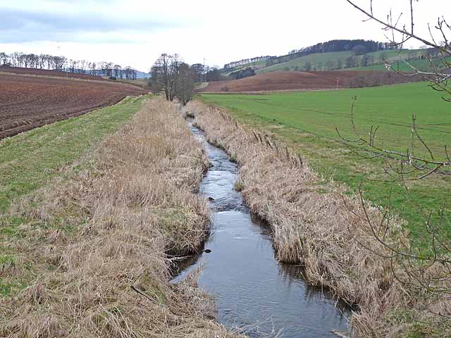
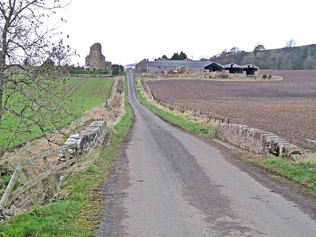
Culhawk Wood

Downs, Moorland in Angus

Scotland

Culhawk Wood

After the storm A May storm had felled many trees. The remains of one lie to the right after road was cleared.
After the storm Credit: Douglas Nelson

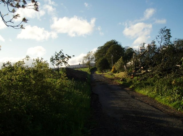
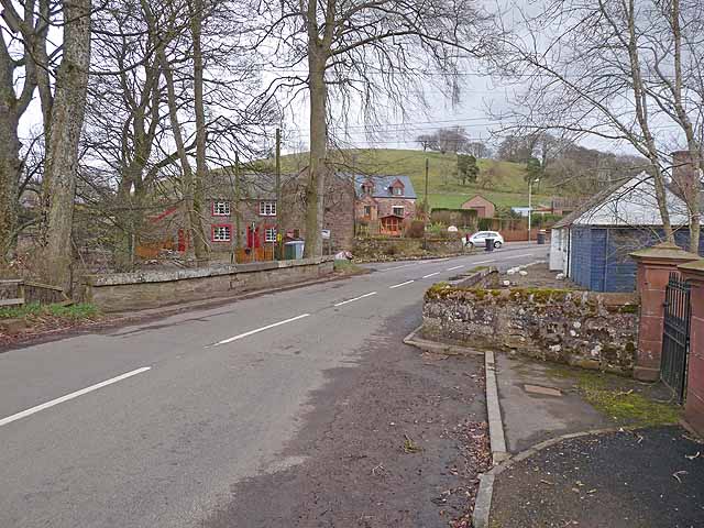
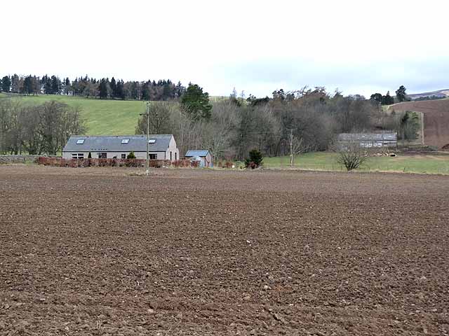
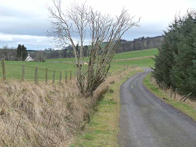
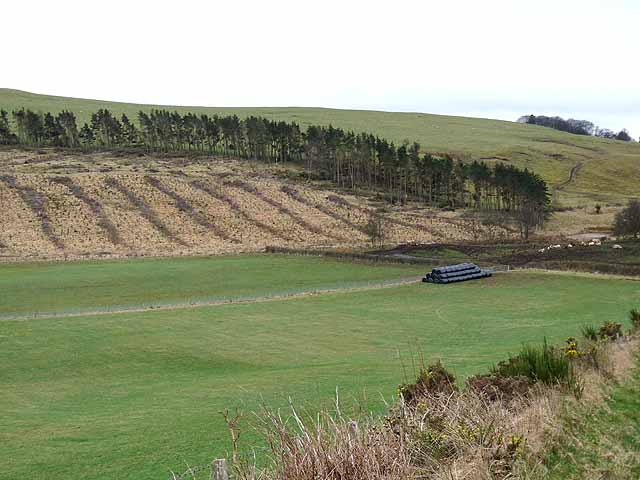
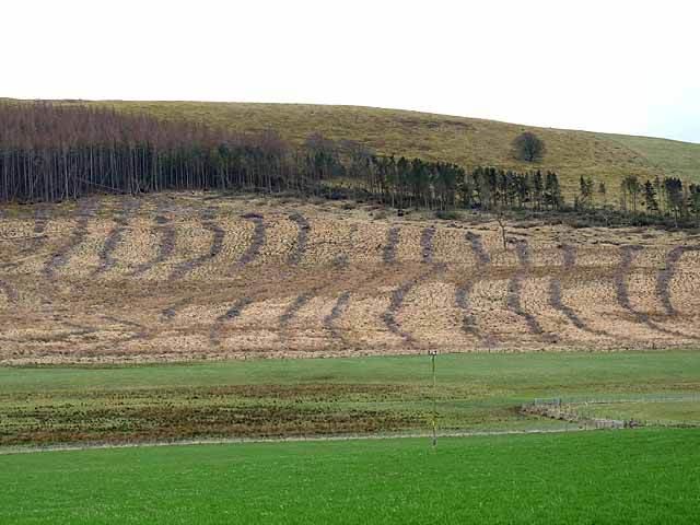
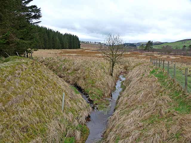
Culhawk Wood is a picturesque area located in Angus, Scotland. Situated amidst rolling hills and expansive moorland, Culhawk Wood is a haven for nature enthusiasts and outdoor lovers. The wood covers an area of approximately 200 acres and is known for its diverse flora and fauna.

The wood is predominantly composed of native Scottish trees such as oak, birch, and rowan, interspersed with patches of heather and gorse. This unique combination creates a beautiful landscape that changes colors with the seasons, providing breathtaking views year-round.

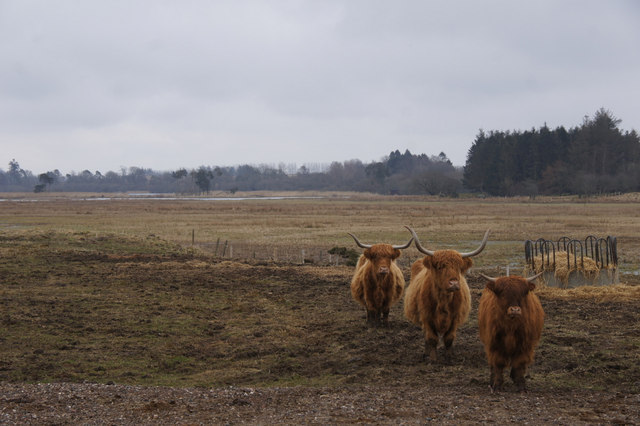
The wildlife in Culhawk Wood is abundant and varied. Visitors may spot red squirrels, roe deer, and a wide array of bird species, including buzzards, kestrels, and woodpeckers. The wood is also home to several rare and protected species, such as the capercaillie and the Scottish crossbill.

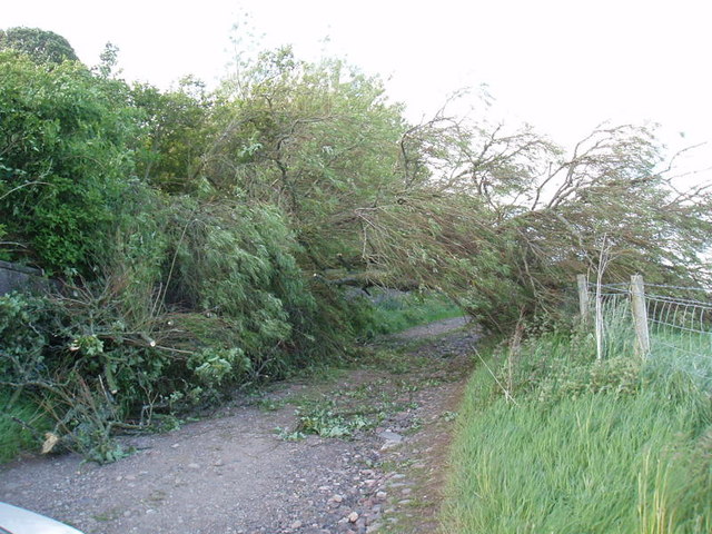
A network of well-maintained trails crisscrosses the wood, allowing visitors to explore its beauty on foot or by bike. These paths cater to all levels of fitness and offer stunning vistas of the surrounding countryside.

Culhawk Wood holds great historical significance as well. The remnants of old settlements and ancient stone circles can be found within its boundaries, providing a glimpse into the region's rich past.

Overall, Culhawk Wood is a hidden gem in Angus, offering a peaceful retreat for those seeking tranquility and an opportunity to immerse themselves in the beauty of nature.

If you have any feedback on the listing, please let us know in the comments section below.
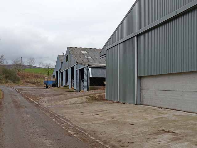
Culhawk Wood Images

Images are sourced within 2km of 56.691111/-3.0646044 or Grid Reference NO3455. Thanks to Geograph Open Source API. All images are credited.

After the storm A May storm had felled many trees. The remains of one lie to the right after road was cleared.
After the storm
A May storm had felled many trees. The remains of one lie to the right after road was cleared.
After the storm 2 One large tree over farm track.
After the storm 2
One large tree over farm track.
Bridge over the Cromie Burn In the village of Kirkton of Kingoldrum.
Bridge over the Cromie Burn
In the village of Kirkton of Kingoldrum.
A touch of kitsch at Kirkton of Kingoldrum A gazebo with classical statuary, and a decorative water mill in the garden of a house on the banks of the Cromie Burn.
A touch of kitsch at Kirkton of Kingoldrum
A gazebo with classical statuary, and a decorative water mill in the garden of a house on the banks of the Cromie Burn.
Balfour Castle Little remains of the 16th century castle except for the six storey circular tower. The farm house was built about 1845 incorporating some of the ruins. Not to be confused with the much more famous Balfour Castle in Orkney <a href="https://www.geograph.org.uk/photo/485291">HY4716 : Balfour Castle</a>.
Balfour Castle
Little remains of the 16th century castle except for the six storey circular tower. The farm house was built about 1845 incorporating some of the ruins. Not to be confused with the much more famous Balfour Castle in Orkney HY4716 : Balfour Castle.
Ditch and fields below Kirkton of Kingoldrum
Balfour Castle Little remains of the 16th century castle except for the six storey circular tower. The farm house was built about 1845 incorporating some of the ruins. Not to be confused with the much more famous Balfour Castle in Orkney <a href="https://www.geograph.org.uk/photo/485291">HY4716 : Balfour Castle</a>.
Balfour Castle
Little remains of the 16th century castle except for the six storey circular tower. The farm house was built about 1845 incorporating some of the ruins. Not to be confused with the much more famous Balfour Castle in Orkney HY4716 : Balfour Castle.
Balfour Castle and Balfour Mains Little remains of the 16th century castle except for the six storey circular tower. The farm house was built about 1845 incorporating some of the ruins. Not to be confused with the much more famous Balfour Castle in Orkney <a href="https://www.geograph.org.uk/photo/485291">HY4716 : Balfour Castle</a>.
Balfour Castle and Balfour Mains
Little remains of the 16th century castle except for the six storey circular tower. The farm house was built about 1845 incorporating some of the ruins. Not to be confused with the much more famous Balfour Castle in Orkney HY4716 : Balfour Castle.
Kirkton of Kingoldrum Small village on the B951.
Kirkton of Kingoldrum
Small village on the B951.
The Old Post Office, Kirkton of Kingoldrum Like so many post offices in rural areas, this one has been closed.
The Old Post Office, Kirkton of Kingoldrum
Like so many post offices in rural areas, this one has been closed.
Aucharroch Farm
Aucharroch Farm
Peevish notice Fed up with the sat navs getting it wrong.
Peevish notice
Fed up with the sat navs getting it wrong.
Country road near Over Ascreavie
Clunehill Wood Much of the woodland has now been cleared.
Clunehill Wood
Much of the woodland has now been cleared.
Clunehill Wood Much of the lower part of the wood has now been cleared.
Clunehill Wood
Much of the lower part of the wood has now been cleared.
Confluence on Balloch Moss Ditches draining this broad marshy area.
Confluence on Balloch Moss
Ditches draining this broad marshy area.
Barns at East Balloch Farm
Loch of Kinnordy from the west The loch is an RSPB reserve and the Highland cattle are used to manage the vegetation around the edge of the wetland.
Loch of Kinnordy from the west
The loch is an RSPB reserve and the Highland cattle are used to manage the vegetation around the edge of the wetland.
Show me another place!

Culhawk Wood is located at Grid Ref: NO3455 (Lat: 56.691111, Lng: -3.0646044)

Unitary Authority: Angus

Police Authority: Tayside

What 3 Words

///discussed.slime.clogging. Near Kirriemuir, Angus

Nearby Locations

Culhawk Wood

Related Wikis

Kirkton of Kingoldrum

Kirkton of Kingoldrum is a village in Angus, Scotland. It lies in approximately four miles (6 km) west of Kirriemuir on the B951 road. == References ==

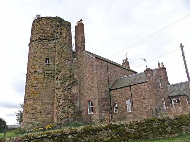
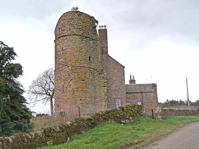
Balfour Castle, Angus

Balfour Castle was a baronial mansion at Balfour Mains, near Kirkton of Kingoldrum, Angus, Scotland. The castle which was built in the 16th century is...

Loch of Kinnordy

Loch of Kinnordy is a small loch located just west of town of Kirriemuir in Angus, Scotland, which is an important wildlife habitat. The loch itself is...

Kinnordy House

Kinnordy House (alternative spellings: Kynnordy, Kinardy, Kinnordie and Kinorde) is an estate house near Kirriemuir in Angus, Scotland. The first house...

Nearby Amenities

Located within 500m of 56.691111,-3.0646044
Power: tower
Source: Bing
Lat/Long: 56.6919159/-3.0696063
Power: tower
Source: Bing
Lat/Long: 56.6935581/-3.0649965
Power: tower
Source: Bing
Lat/Long: 56.6949525/-3.0610821
Culhawk Hill
Ele: 310
Natural: peak
Lat/Long: 56.6914298/-3.0642868
Culhawk
Place: isolated_dwelling
Lat/Long: 56.6866427/-3.0644281
Power: pole
Lat/Long: 56.6888833/-3.0576812
Power: pole
Lat/Long: 56.6885916/-3.0586072
Power: pole
Lat/Long: 56.6883167/-3.0595049
Power: pole
Lat/Long: 56.6880354/-3.0603979
Power: pole
Lat/Long: 56.6877643/-3.0612815
Power: pole
Lat/Long: 56.6874855/-3.0621675
Power: pole
Lat/Long: 56.6872093/-3.0630652
Power: pole
Lat/Long: 56.6870738/-3.0637702
Power: pole
Lat/Long: 56.6867641/-3.0630981
The data included in this document is from www.openstreetmap.org. The data is made available under ODbL.

Have you been to Culhawk Wood?

Leave your review of Culhawk Wood below (or comments, questions and feedback).