Reedie Strip
Wood, Forest in Angus
Scotland
Reedie Strip
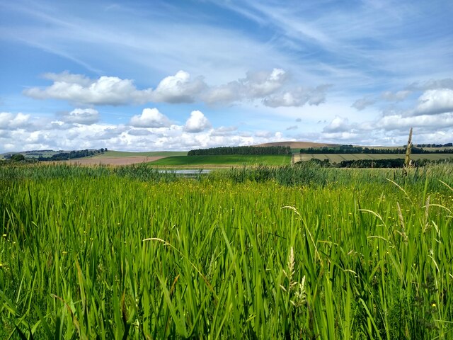
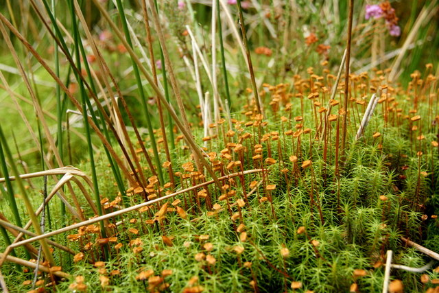
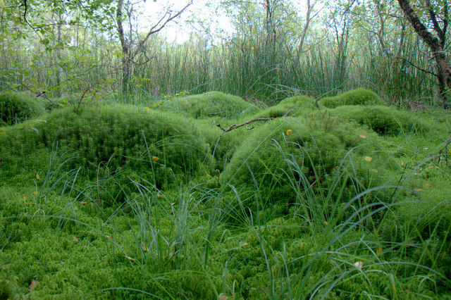
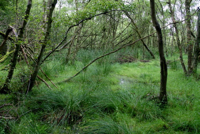
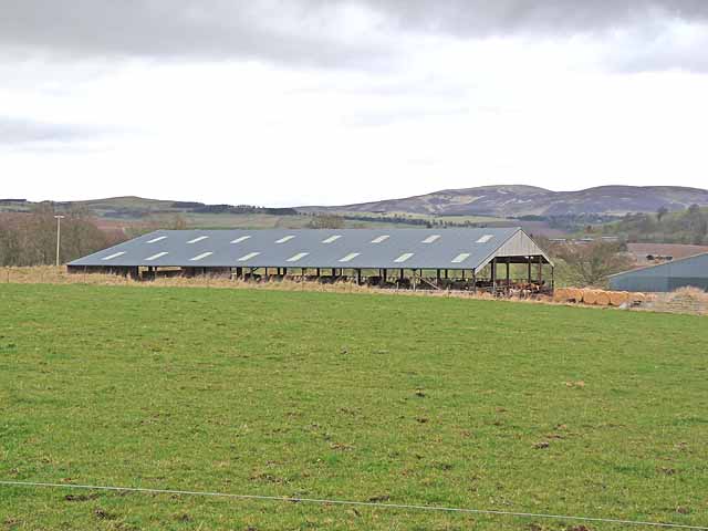
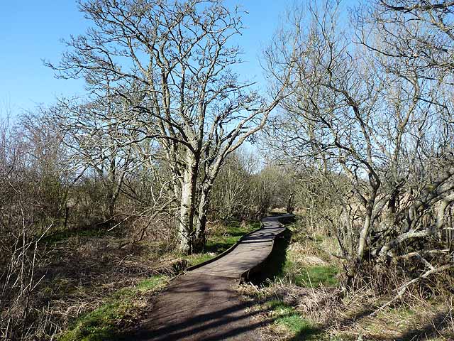
Reedie Strip is a small area located in Angus, Scotland, known for its dense wood and enchanting forest. The strip spans approximately 3 square kilometers and is characterized by a variety of native trees, including oak, birch, and pine, which form a captivating canopy overhead. The forest floor is adorned with a rich carpet of moss, ferns, and wildflowers, creating a vibrant and diverse ecosystem.
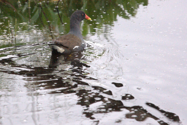
As one ventures deeper into Reedie Strip, the atmosphere becomes increasingly serene and tranquil. The forest is teeming with wildlife, with various species of birds, such as woodpeckers and owls, filling the air with their melodic calls. Squirrels nimbly scurry through the treetops, while deer and rabbits can often be spotted grazing or hopping gracefully along the woodland paths.
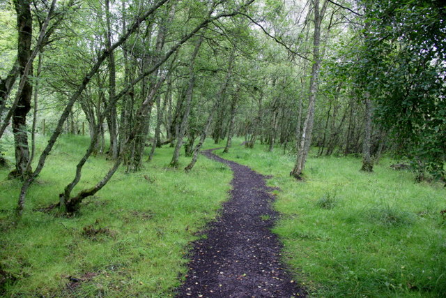
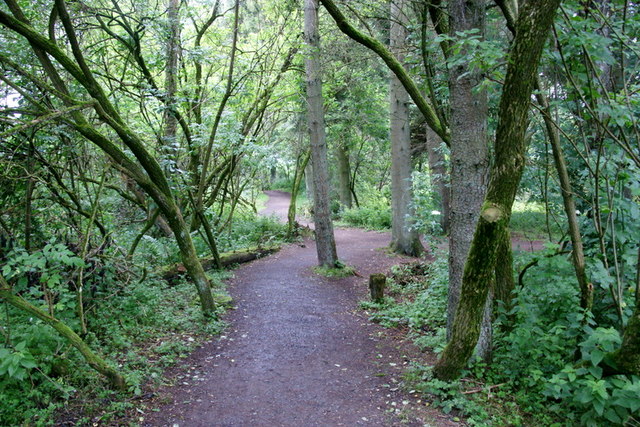
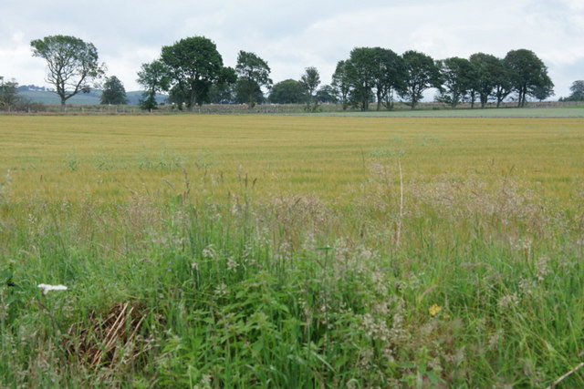
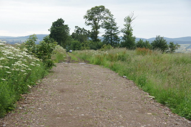
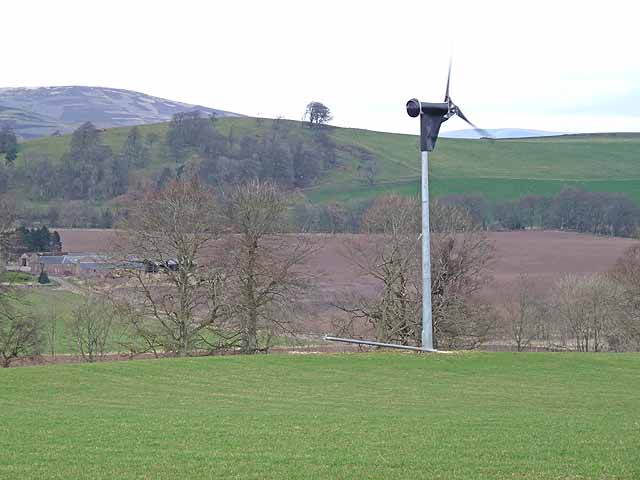
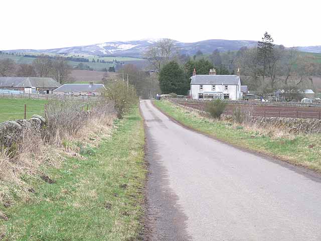
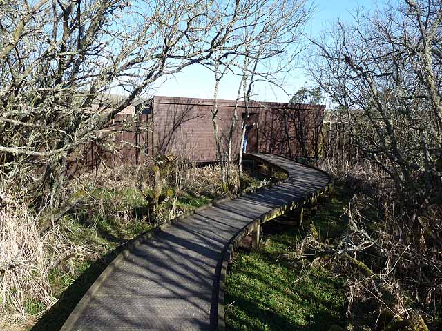
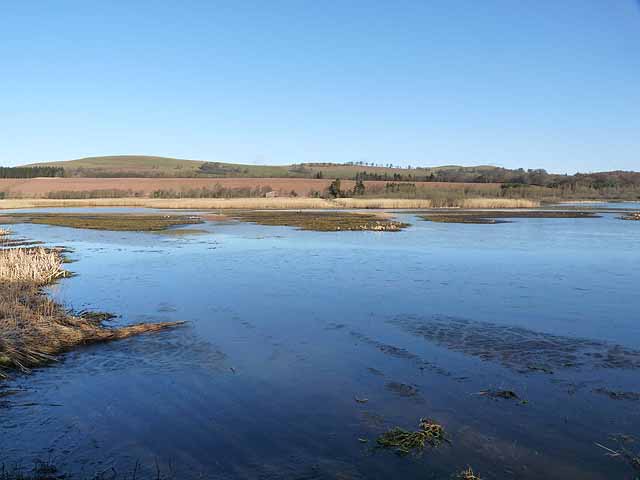
A network of well-maintained trails and footpaths wind their way through Reedie Strip, providing visitors with the opportunity to explore the area and immerse themselves in its natural beauty. These pathways offer breathtaking views of the surrounding countryside, with glimpses of rolling hills and distant meadows.
Reedie Strip is a popular destination for hikers, nature enthusiasts, and photographers seeking solace in nature's embrace. It serves as a sanctuary for those seeking respite from the bustle of everyday life, offering a peaceful retreat where one can reconnect with the natural world.
Overall, Reedie Strip is an idyllic wood and forest area in Angus, Scotland, providing a haven of tranquility and natural splendor for all who venture within its boundaries.
If you have any feedback on the listing, please let us know in the comments section below.
Reedie Strip Images
Images are sourced within 2km of 56.660524/-3.0640844 or Grid Reference NO3452. Thanks to Geograph Open Source API. All images are credited.
Reedie Strip is located at Grid Ref: NO3452 (Lat: 56.660524, Lng: -3.0640844)
Unitary Authority: Angus
Police Authority: Tayside
What 3 Words
///shielding.helpfully.puzzles. Near Kirriemuir, Angus
Nearby Locations
Related Wikis

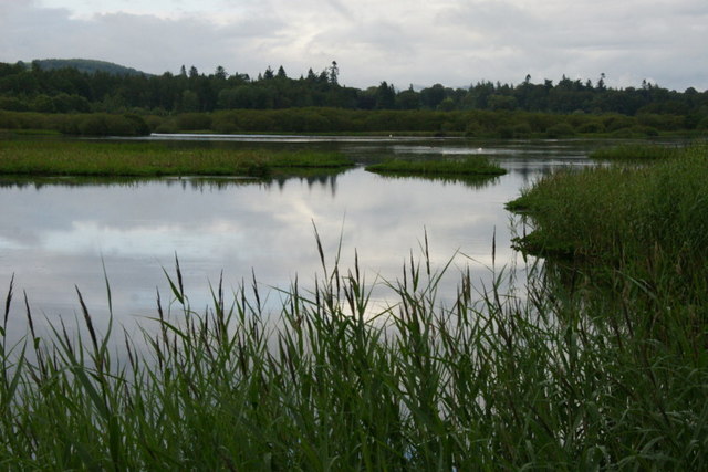
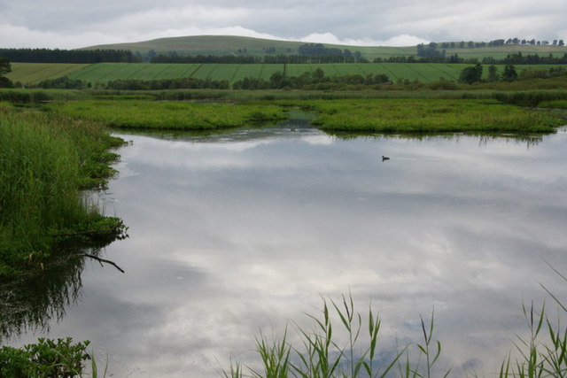
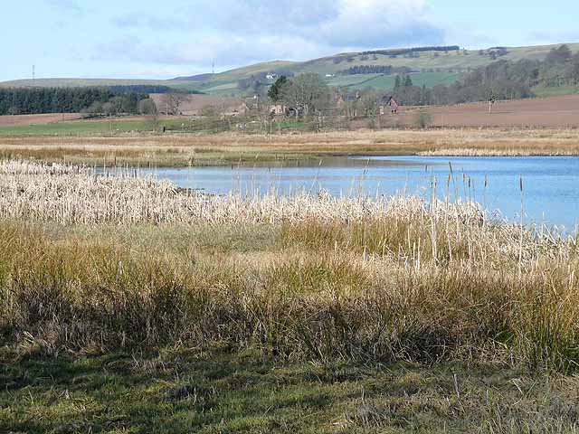
Loch of Kinnordy
Loch of Kinnordy is a small loch located just west of town of Kirriemuir in Angus, Scotland, which is an important wildlife habitat. The loch itself is...

Balfour Castle, Angus
Balfour Castle was a baronial mansion at Balfour Mains, near Kirkton of Kingoldrum, Angus, Scotland. The castle which was built in the 16th century is...

Kirkton of Kingoldrum
Kirkton of Kingoldrum is a village in Angus, Scotland. It lies in approximately four miles (6 km) west of Kirriemuir on the B951 road. == References ==

Kinnordy House
Kinnordy House (alternative spellings: Kynnordy, Kinardy, Kinnordie and Kinorde) is an estate house near Kirriemuir in Angus, Scotland. The first house...
Related Videos

Day 1 - Home to Aberdeen Ferry Terminal | Shetland Tour
Welcome to Day 1 of the Shetland Tour. Adam has become very fond of Shetland over his many work visits to the Island. When he ...
Nearby Amenities
Located within 500m of 56.660524,-3.0640844Have you been to Reedie Strip?
Leave your review of Reedie Strip below (or comments, questions and feedback).