Round Hole Wood

Wood, Forest in Denbighshire

Wales

Round Hole Wood

Lane near Woodlands Cottages Heading south towards the B5426.
Lane near Woodlands Cottages Credit: Jeff Buck

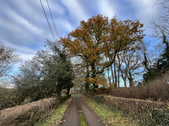
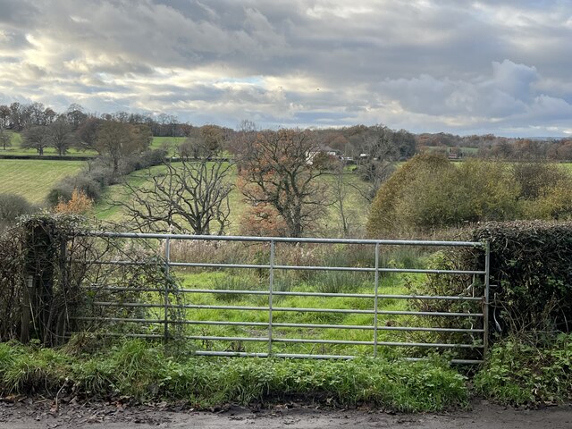
Round Hole Wood is a picturesque forest located in Denbighshire, Wales. Covering an area of approximately 50 acres, it is a popular destination for nature enthusiasts and outdoor lovers. The wood is nestled in the Clwydian Range, an Area of Outstanding Natural Beauty, and offers breathtaking views of the surrounding countryside.

The forest is predominantly composed of native broadleaf trees, including oak, beech, and birch, which create a diverse and thriving ecosystem. The dense foliage provides a habitat for a wide range of wildlife, making it an ideal spot for birdwatching and wildlife spotting. Visitors may have the chance to see species such as red kites, buzzards, and woodpeckers.

Round Hole Wood features a network of well-maintained walking trails, allowing visitors to explore the area at their own pace. These trails cater to various fitness levels and offer something for everyone, from leisurely strolls to more challenging hikes. The paths wind through the wood, crossing babbling streams and passing by tranquil ponds, creating a serene atmosphere.

The wood is also popular for its bluebells, which carpet the forest floor in vibrant hues during the spring months. This natural spectacle attracts photographers and nature enthusiasts from far and wide, who come to capture the beauty of the woodland in bloom.

Round Hole Wood is a true gem in Denbighshire, offering visitors a chance to immerse themselves in nature and experience the tranquility of a Welsh forest.

If you have any feedback on the listing, please let us know in the comments section below.

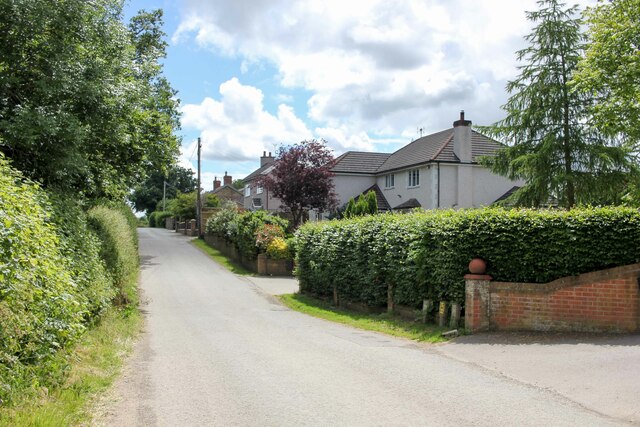
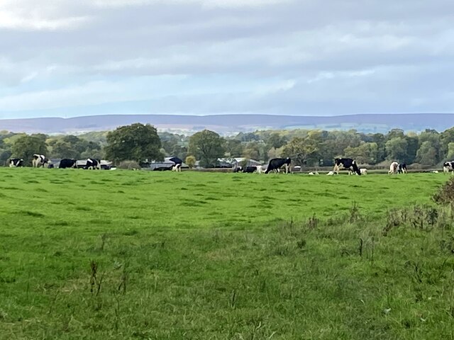
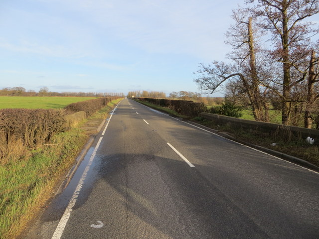
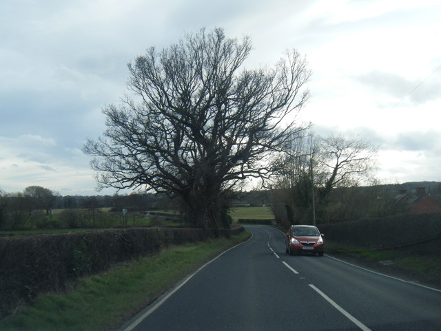
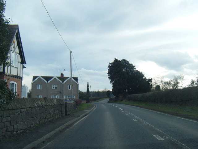
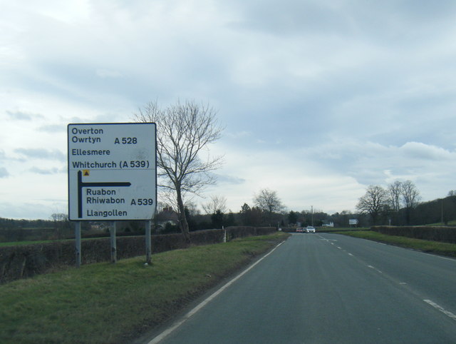
Round Hole Wood Images

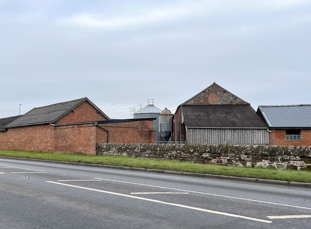
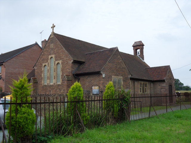
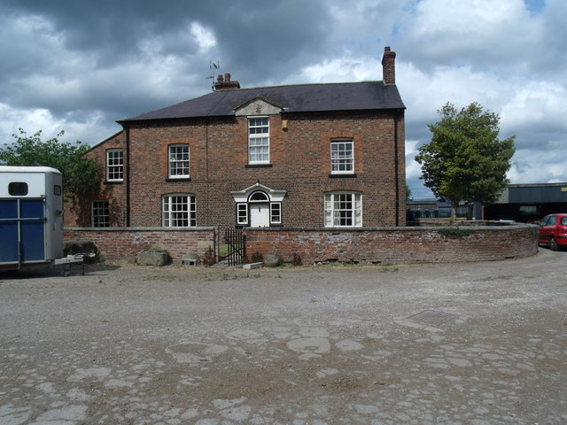
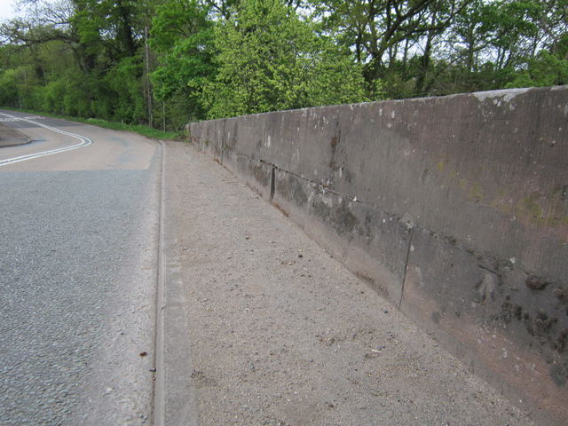
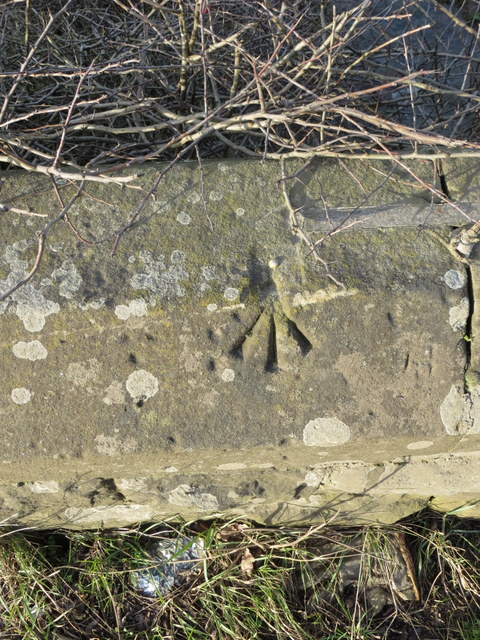
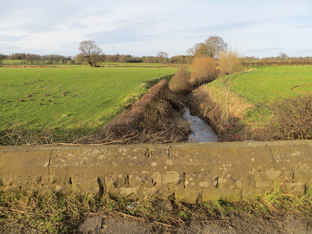
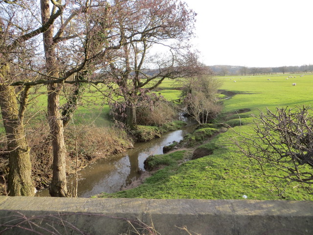
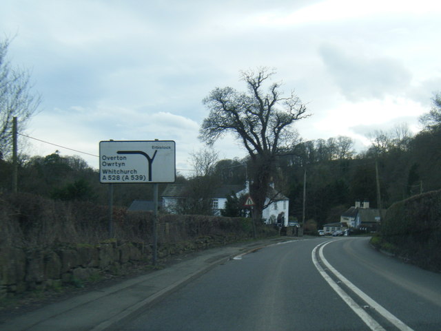
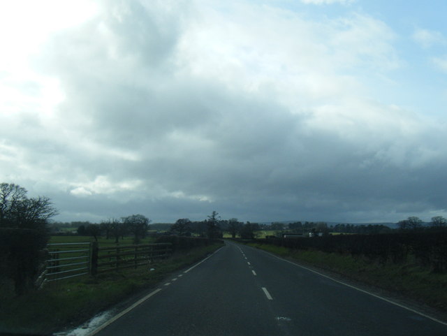
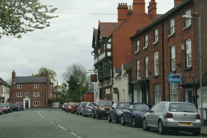
Images are sourced within 2km of 52.989238/-2.9730676 or Grid Reference SJ3443. Thanks to Geograph Open Source API. All images are credited.

Lane near Woodlands Cottages Heading south towards the B5426.
Lane near Woodlands Cottages
Heading south towards the B5426.
Cattle grazing in a field by the River Dee With a distant view of the Welsh hills.
Cattle grazing in a field by the River Dee
With a distant view of the Welsh hills.
Dead-end road above the River Dee
Gate with a view Though the River Dee, in the valley, is hidden from view.
Gate with a view
Though the River Dee, in the valley, is hidden from view.
Farm buildings at Eyton House
St Deiniol's Built in 1939, St Deiniol's, Eyton.
St Deiniol's
Built in 1939, St Deiniol's, Eyton.
Bench mark on Overton Bridge This bench mark is at the centre of the south west parapet of Overton Bridge. See also <a href="https://www.geograph.org.uk/photo/3455567">SJ3542 : Overton Bridge and a bench mark</a>
Bench mark on Overton Bridge
This bench mark is at the centre of the south west parapet of Overton Bridge. See also SJ3542 : Overton Bridge and a bench mark
Overton Bridge and a bench mark Looking along the south west parapet of Overton Bridge with a bench mark on the right. For a close up see <a href="https://www.geograph.org.uk/photo/3455562">SJ3542 : Bench mark on Overton Bridge</a>
Overton Bridge and a bench mark
Looking along the south west parapet of Overton Bridge with a bench mark on the right. For a close up see SJ3542 : Bench mark on Overton Bridge
Rivet bench mark on Whitehouse Bridge This rivet bench mark is on the north parapet of Whitehouse Bridge on the B5426 between Eyton and Bangor on Dee. The mark is recorded on the 1872 O.S. map. See also: <a href="https://www.geograph.org.uk/photo/3849568">SJ3645 : North of Whitehouse Bridge</a>
Rivet bench mark on Whitehouse Bridge
This rivet bench mark is on the north parapet of Whitehouse Bridge on the B5426 between Eyton and Bangor on Dee. The mark is recorded on the 1872 O.S. map. See also: SJ3645 : North of Whitehouse Bridge
North of Whitehouse Bridge Looking north from Whitehouse Bridge on the B5426.  The farmland here seems to be in good condition, whilst further east the farmland around Bangor on Dee is badly flooded after recent storms and heavy rain. There is an Ordnance Survey rivet bench mark on top of the parapet - <a href="https://www.geograph.org.uk/photo/3849544">SJ3645 : Rivet bench mark on Whitehouse Bridge</a>
North of Whitehouse Bridge
Looking north from Whitehouse Bridge on the B5426. The farmland here seems to be in good condition, whilst further east the farmland around Bangor on Dee is badly flooded after recent storms and heavy rain. There is an Ordnance Survey rivet bench mark on top of the parapet - SJ3645 : Rivet bench mark on Whitehouse Bridge
South of Whitehouse Bridge Looking south from Whitehouse Bridge on the B5426 between Eyton and Bangor on Dee. Although this land appears to be in good condition, a short distance east the lower lying land around Bangor on Dee is badly flooded.
South of Whitehouse Bridge
Looking south from Whitehouse Bridge on the B5426 between Eyton and Bangor on Dee. Although this land appears to be in good condition, a short distance east the lower lying land around Bangor on Dee is badly flooded.
The B5426 across Whitehouse Bridge Looking east along the B5426, and across Whitehouse Bridge, towards Bangor on Dee.
The B5426 across Whitehouse Bridge
Looking east along the B5426, and across Whitehouse Bridge, towards Bangor on Dee.
Overton Road south of Cock Bank
A528 near Manor Farm
A528 nearing the A539 junction
A528 at Overton Bridge
B5426 near Whitehouse Bridge
Show me another place!

Round Hole Wood is located at Grid Ref: SJ3443 (Lat: 52.989238, Lng: -2.9730676)

Unitary Authority: Wrexham

Police Authority: North Wales

What 3 Words

///superhero.yards.sagging. Near Overton, Wrexham

Related Wikis

Wrexham Maelor

Wrexham Maelor (Welsh: Wrecsam Maelor) was a local government district with borough status, being one of six districts in the county of Clwyd, north-east...

Erbistock

Erbistock (Welsh: Erbistog) is a village and community in Wrexham County Borough, Wales. The village lies on the banks of the River Dee. The community...

Bangor-on-Dee racecourse

Bangor-on-Dee Racecourse (Welsh: Cae Rasio Bangor-is-y-coed) is a thoroughbred horse racing venue located in Bangor-on-Dee near Wrexham, Wales, United...

Overton-on-Dee

Overton (Welsh: Owrtyn) or Overton-on-Dee is a village and community in Wrexham County Borough, Wales. It is situated close to the Welsh-English border...

Nearby Amenities

Located within 500m of 52.989238,-2.9730676
The data included in this document is from www.openstreetmap.org. The data is made available under ODbL.

Have you been to Round Hole Wood?

Leave your review of Round Hole Wood below (or comments, questions and feedback).