Erw Charles Plantation
Wood, Forest in Denbighshire
Wales
Erw Charles Plantation
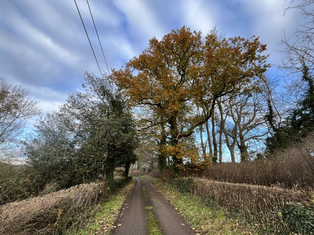
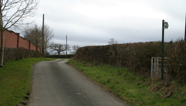
Erw Charles Plantation is a woodland area located in Denbighshire, Wales. This picturesque forest is situated near the town of Denbigh and covers an area of approximately 200 acres. It is known for its diverse range of flora and fauna, making it a popular destination for nature enthusiasts and hikers.
The plantation is primarily composed of broadleaf trees, including oak, beech, and birch, which create a dense canopy and provide a vibrant display of colors during the autumn season. The forest floor is adorned with a carpet of wildflowers and ferns, adding to its natural beauty.
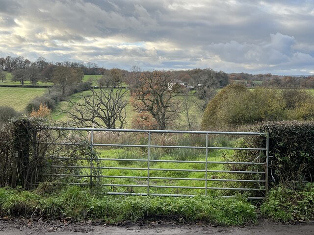
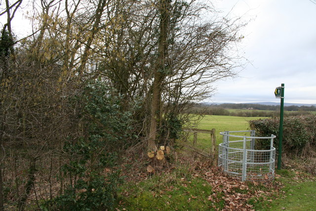
Several walking trails crisscross the plantation, allowing visitors to explore its varied landscape. These trails offer breathtaking views of the surrounding countryside, including the Clwydian Range and the Vale of Clwyd. Birdwatchers will delight in the opportunity to spot a variety of avian species, such as woodpeckers, thrushes, and owls, which inhabit the woodland.
Erw Charles Plantation also plays an important role in the conservation of wildlife. The forest provides a habitat for various mammals, including foxes, badgers, and deer. Additionally, it serves as a sanctuary for rare and endangered species, such as the red squirrel and the lesser horseshoe bat.
Overall, Erw Charles Plantation in Denbighshire offers visitors a tranquil escape into nature. Its rich biodiversity, stunning vistas, and well-maintained trails make it an ideal destination for those seeking a peaceful retreat or an opportunity to immerse themselves in the beauty of the Welsh countryside.
If you have any feedback on the listing, please let us know in the comments section below.
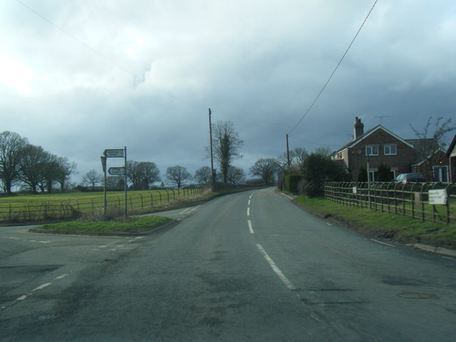
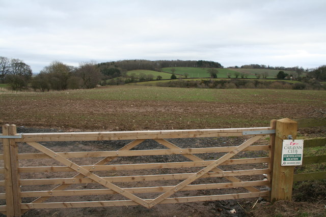
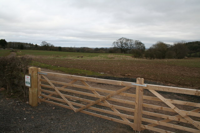
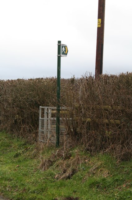
Erw Charles Plantation Images
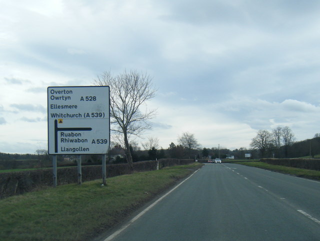
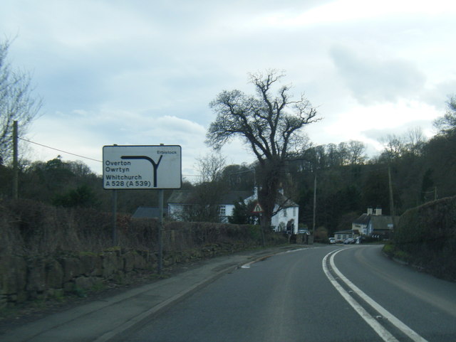
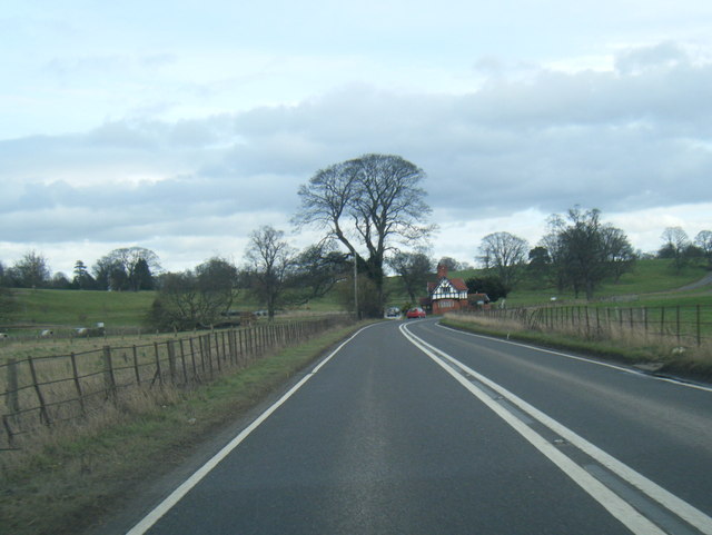
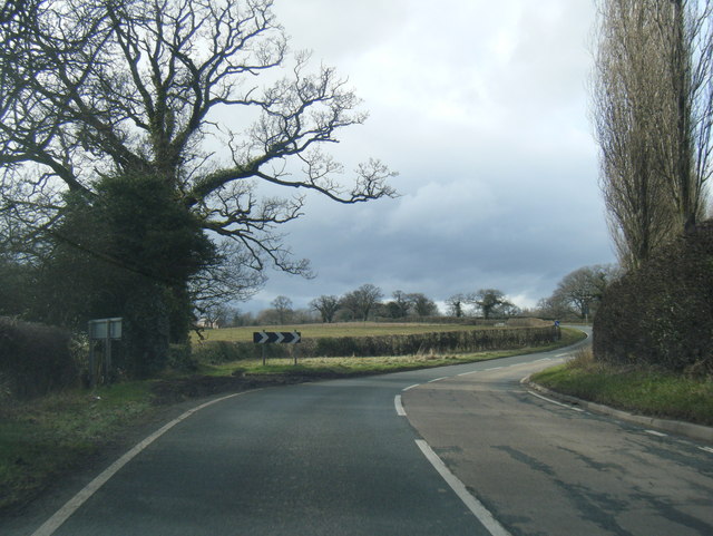
Images are sourced within 2km of 52.985372/-2.9753045 or Grid Reference SJ3443. Thanks to Geograph Open Source API. All images are credited.
Erw Charles Plantation is located at Grid Ref: SJ3443 (Lat: 52.985372, Lng: -2.9753045)
Unitary Authority: Wrexham
Police Authority: North Wales
What 3 Words
///prop.landowner.materials. Near Overton, Wrexham
Nearby Locations
Related Wikis

Wrexham Maelor
Wrexham Maelor (Welsh: Wrecsam Maelor) was a local government district with borough status, being one of six districts in the county of Clwyd, north-east...

Erbistock
Erbistock (Welsh: Erbistog) is a village and community in Wrexham County Borough, Wales. The village lies on the banks of the River Dee. The community...

Pen-y-Lan Hall
Pen-y-Lan Hall is a Grade II-listed Tudor-Gothic Revival country house located near the village of Ruabon in Wrexham County Borough, Wales. The building...
Overton-on-Dee
Overton (Welsh: Owrtyn) or Overton-on-Dee is a village and community in Wrexham County Borough, Wales. It is situated close to the Welsh-English border...
Nearby Amenities
Located within 500m of 52.985372,-2.9753045Have you been to Erw Charles Plantation?
Leave your review of Erw Charles Plantation below (or comments, questions and feedback).