Drury's Plantation

Wood, Forest in Denbighshire

Wales

Drury's Plantation

Dead-end road above the River Dee
Dead-end road above the River Dee Credit: John H Darch

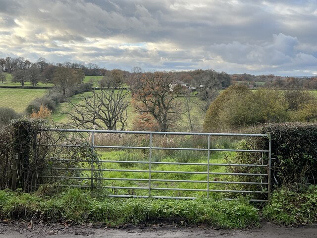
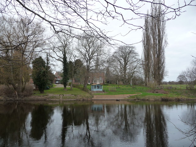
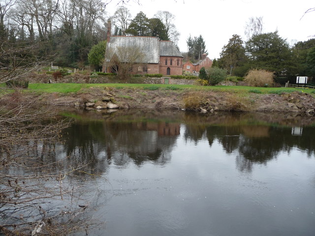
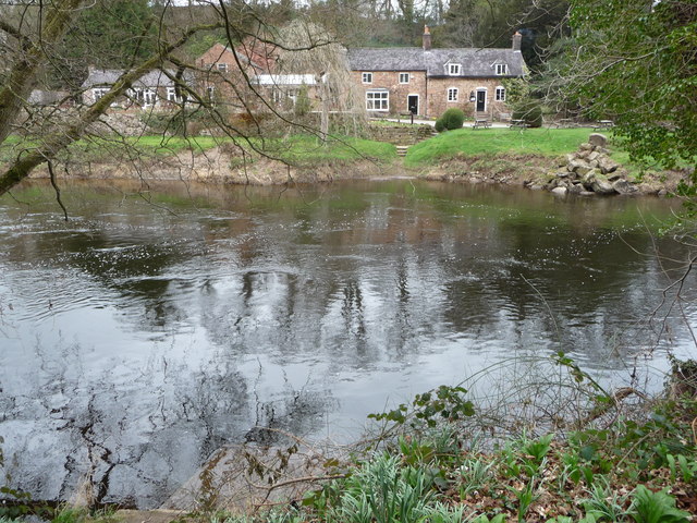
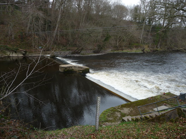
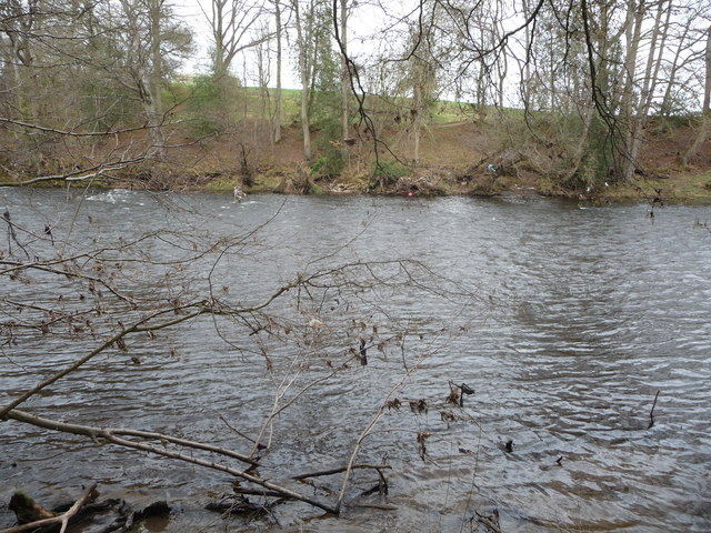
Drury's Plantation is a stunning woodland area located in Denbighshire, Wales. It is a place of natural beauty and tranquility, offering visitors a unique opportunity to immerse themselves in the serene surroundings of a forest environment.

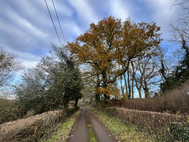
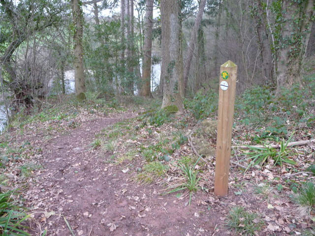
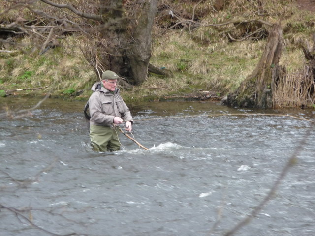
Covering an area of approximately 100 acres, Drury's Plantation is characterized by its dense and diverse tree population. The woodland is predominantly composed of native tree species such as oak, beech, and birch, creating a rich and vibrant ecosystem. The forest floor is adorned with an array of wildflowers, adding a splash of color to the already picturesque landscape.

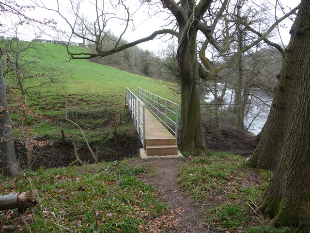
The plantation offers a range of recreational activities for visitors to enjoy. There are numerous walking trails that wind through the woods, allowing visitors to explore the area at their own pace. These trails cater to all levels of fitness and provide an opportunity to observe the local flora and fauna up close.

Drury's Plantation is also a haven for birdwatchers, as it is home to a variety of bird species. Visitors may be lucky enough to spot woodland birds such as the great spotted woodpecker, tawny owl, or the elusive nightjar.

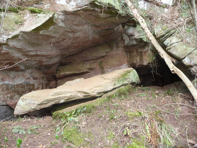
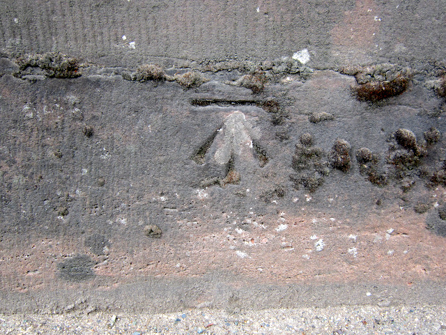
In addition to its natural beauty, Drury's Plantation has historical significance. It is believed that the woodland was once part of the medieval hunting grounds of the local nobility. Remnants of ancient boundary walls and earthworks can still be found within the plantation, adding an extra layer of intrigue to the visitor's experience.

Overall, Drury's Plantation is a captivating destination for nature lovers and history enthusiasts alike. Its combination of breathtaking scenery, diverse wildlife, and historical heritage makes it a truly remarkable place to explore.

If you have any feedback on the listing, please let us know in the comments section below.

Drury's Plantation Images

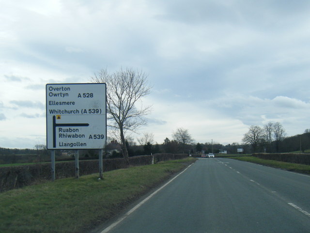
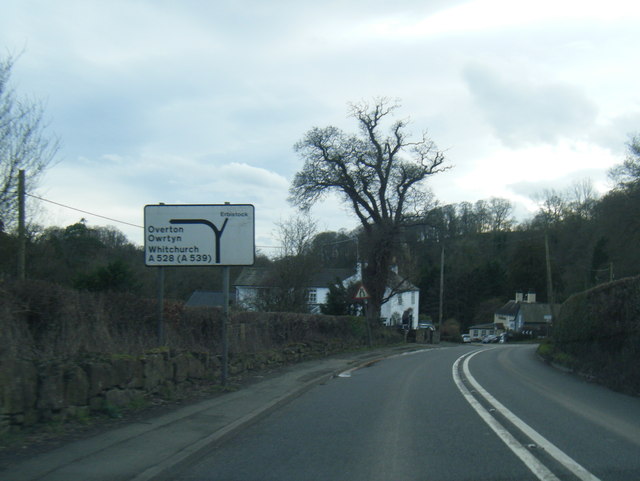
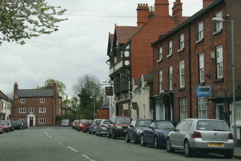
Images are sourced within 2km of 52.980832/-2.9752916 or Grid Reference SJ3443. Thanks to Geograph Open Source API. All images are credited.

Dead-end road above the River Dee
Gate with a view Though the River Dee, in the valley, is hidden from view.
Gate with a view
Though the River Dee, in the valley, is hidden from view.
River Dee flood Flood waters at their highest looking West outside St Hilary's Church, Erbistock on the road to the Boat Inn on the 6 February 2011. The sundial pillar is on the right. Compare this to the normal river level shown in older picture "The River Dee near the church at Erbistock" by Eirian Evans.
River Dee flood
Flood waters at their highest looking West outside St Hilary's Church, Erbistock on the road to the Boat Inn on the 6 February 2011. The sundial pillar is on the right. Compare this to the normal river level shown in older picture "The River Dee near the church at Erbistock" by Eirian Evans.
St Hilary's church Erbistock in spring
Riverside property in Erbistock People like to live next to water, and what a spot this is, with a lovely riverside setting including an optimistically sited summerhouse.
Riverside property in Erbistock
People like to live next to water, and what a spot this is, with a lovely riverside setting including an optimistically sited summerhouse.
St. Hilary's church, Erbistock beside the River Dee / Afon Dyfrdwy A small village church for this small village.
St. Hilary's church, Erbistock beside the River Dee / Afon Dyfrdwy
A small village church for this small village.
The line of the old ferry at Erbistock on the River Dee / Afon Dyfrdwy The old winch can be seen on the far bank. I daresay that you would welcome a drink after crossing, or need one beforehand...
The line of the old ferry at Erbistock on the River Dee / Afon Dyfrdwy
The old winch can be seen on the far bank. I daresay that you would welcome a drink after crossing, or need one beforehand...
Cave in a crag above the River Dee / Afon Dyfrdwy opposite Erbistock The rocky outcrop here has a cave or two in it and here the cave or overhang roof has collapsed in one big slab. It's probably around the size of a grand piano (with the lid down).
Cave in a crag above the River Dee / Afon Dyfrdwy opposite Erbistock
The rocky outcrop here has a cave or two in it and here the cave or overhang roof has collapsed in one big slab. It's probably around the size of a grand piano (with the lid down).
Footpath waymarker post in woodland above the River Dee / Afon Dyfrdwy Both the Maelor Way and the Wat's Dyke Path follow this line through a wood on the steep bank of the river.
Footpath waymarker post in woodland above the River Dee / Afon Dyfrdwy
Both the Maelor Way and the Wat's Dyke Path follow this line through a wood on the steep bank of the river.
Newish footbridge beside the River Dee / Afon Dyfrdwy near Erbistock Shiny newish footbridge across the Shell Brook. Carrying the Maelor Way.
Newish footbridge beside the River Dee / Afon Dyfrdwy near Erbistock
Shiny newish footbridge across the Shell Brook. Carrying the Maelor Way.
Weir on the River Dee / Afon Dyfrdwy near Manley Hall I bet this is quite a spot to watch fish migrate upstream.
Weir on the River Dee / Afon Dyfrdwy near Manley Hall
I bet this is quite a spot to watch fish migrate upstream.
Part of the River Dee / Afon Dyfrdwy near Manley Hall A fly-fisherman concentrates on his sport in the river. I sat and watched him casting his chosen fly into pools and eddies near and far. A fish was taking downstream but wasn't ready to be caught just yet.

What a great sport this is. When I retire one of my many ambitions is to fly-fish the Usk, the Dee, the Wye, the Tywi....
Part of the River Dee / Afon Dyfrdwy near Manley Hall
A fly-fisherman concentrates on his sport in the river. I sat and watched him casting his chosen fly into pools and eddies near and far. A fish was taking downstream but wasn't ready to be caught just yet. What a great sport this is. When I retire one of my many ambitions is to fly-fish the Usk, the Dee, the Wye, the Tywi....
Not by strength, by guile...(fly-fisherman on the Dee) This chap's focus and concentration was matched only by his guile as he cast and watched, cast and remembered, cast and thought, moved a little into midstream, cast further, watched, worked one pool with patience and a mix of intuition, optimism and method, part science, part art and part silent prayer to the gods and spirits of this old river....
Not by strength, by guile...(fly-fisherman on the Dee)
This chap's focus and concentration was matched only by his guile as he cast and watched, cast and remembered, cast and thought, moved a little into midstream, cast further, watched, worked one pool with patience and a mix of intuition, optimism and method, part science, part art and part silent prayer to the gods and spirits of this old river....
Bench mark on Overton Bridge This bench mark is at the centre of the south west parapet of Overton Bridge. See also <a href="https://www.geograph.org.uk/photo/3455567">SJ3542 : Overton Bridge and a bench mark</a>
Bench mark on Overton Bridge
This bench mark is at the centre of the south west parapet of Overton Bridge. See also SJ3542 : Overton Bridge and a bench mark
Overton Bridge and a bench mark Looking along the south west parapet of Overton Bridge with a bench mark on the right. For a close up see <a href="https://www.geograph.org.uk/photo/3455562">SJ3542 : Bench mark on Overton Bridge</a>
Overton Bridge and a bench mark
Looking along the south west parapet of Overton Bridge with a bench mark on the right. For a close up see SJ3542 : Bench mark on Overton Bridge
A528 near Manor Farm
A528 nearing the A539 junction
A528 at Overton Bridge
Show me another place!

Drury's Plantation is located at Grid Ref: SJ3443 (Lat: 52.980832, Lng: -2.9752916)

Unitary Authority: Wrexham

Police Authority: North Wales

What 3 Words

///delays.waxer.coasters. Near Overton, Wrexham

Related Wikis

Erbistock

Erbistock (Welsh: Erbistog) is a village and community in Wrexham County Borough, Wales. The village lies on the banks of the River Dee. The community...

Pen-y-Lan Hall

Pen-y-Lan Hall is a Grade II-listed Tudor-Gothic Revival country house located near the village of Ruabon in Wrexham County Borough, Wales. The building...

Wrexham Maelor

Wrexham Maelor (Welsh: Wrecsam Maelor) was a local government district with borough status, being one of six districts in the county of Clwyd, north-east...

Overton-on-Dee

Overton (Welsh: Owrtyn) or Overton-on-Dee is a village and community in Wrexham County Borough, Wales. It is situated close to the Welsh-English border...

Nearby Amenities

Located within 500m of 52.980832,-2.9752916
ERBISTOCK1
Disused: yes
Man Made: petroleum_well
Ref GB Decc: LM/01-1
Source: DECC
Lat/Long: 52.9818611/-2.9712222
The data included in this document is from www.openstreetmap.org. The data is made available under ODbL.

Have you been to Drury's Plantation?

Leave your review of Drury's Plantation below (or comments, questions and feedback).