Coed Canol
Wood, Forest in Monmouthshire
Wales
Coed Canol
Coed Canol is a beautiful woodland area located in Monmouthshire, Wales. With its serene atmosphere and stunning natural beauty, it attracts nature lovers and outdoor enthusiasts alike. Covering an area of approximately 500 acres, Coed Canol offers visitors a chance to immerse themselves in the tranquility of the forest.
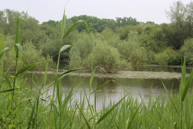
The woodland is predominantly made up of native broadleaf trees, including oak, ash, beech, and birch. These tall, majestic trees provide a dense canopy, creating a shady and cool environment even on hot summer days. The forest floor is adorned with a rich variety of wildflowers, adding bursts of color to the green carpet of moss and ferns.
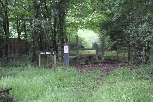
Coed Canol boasts a diverse range of wildlife, making it a haven for birdwatchers and animal enthusiasts. Visitors may spot various bird species, such as woodpeckers, owls, and thrushes. Squirrels dart through the treetops, while foxes and deer can occasionally be spotted roaming the forest floor.
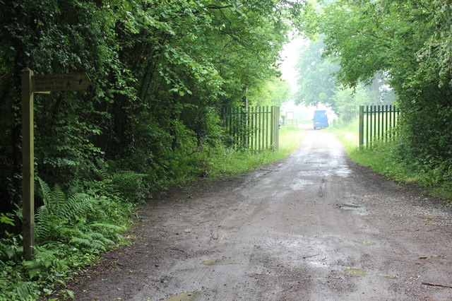
The woodland offers a network of well-maintained footpaths and trails, allowing visitors to explore its beauty at their own pace. These pathways take visitors through enchanting glades, alongside babbling streams, and up to panoramic viewpoints, offering breathtaking vistas of the surrounding countryside.
Coed Canol is a cherished natural gem, providing a peaceful refuge from the hustle and bustle of everyday life. Whether visitors are looking for a leisurely stroll, a picnic spot, or a place to connect with nature, Coed Canol offers a truly memorable experience in the heart of Monmouthshire.
If you have any feedback on the listing, please let us know in the comments section below.
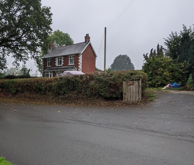
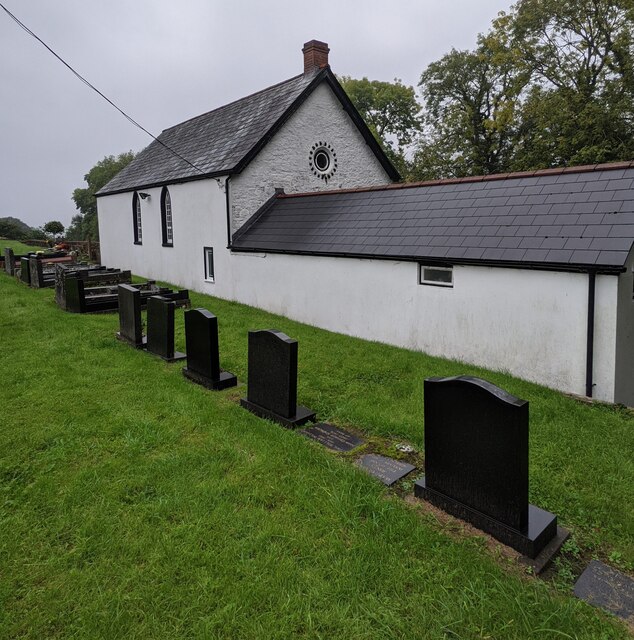
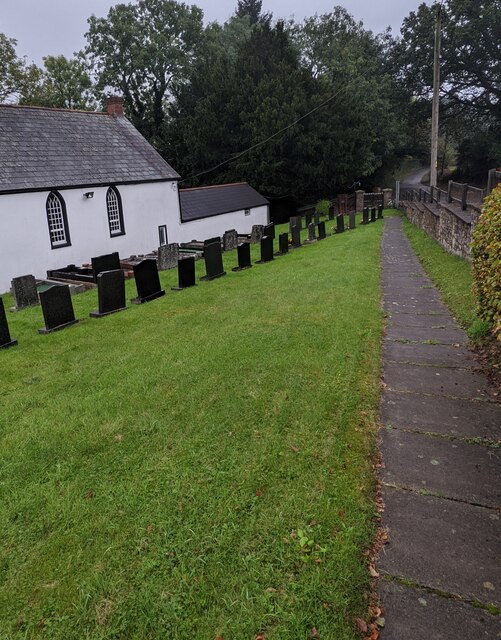
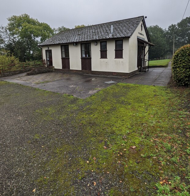
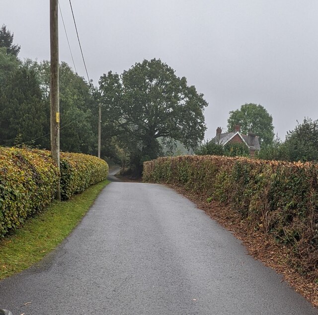
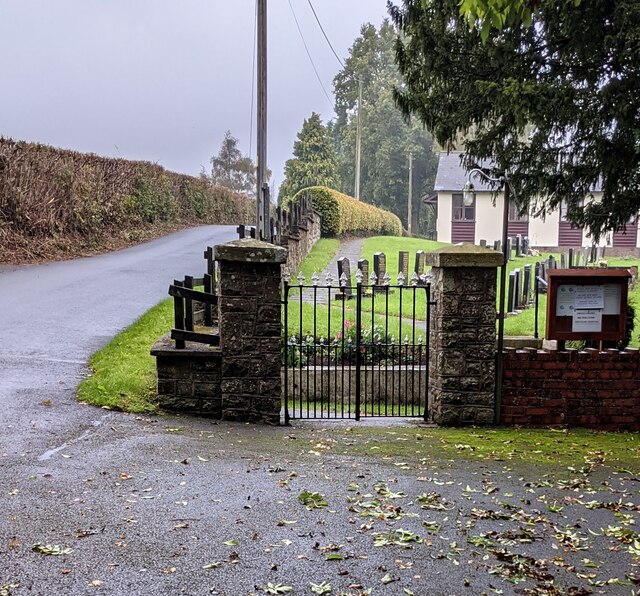
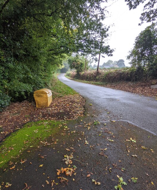
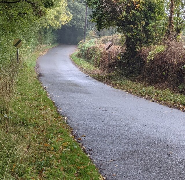
Coed Canol Images
Images are sourced within 2km of 51.689426/-2.9479326 or Grid Reference ST3499. Thanks to Geograph Open Source API. All images are credited.


Coed Canol is located at Grid Ref: ST3499 (Lat: 51.689426, Lng: -2.9479326)
Unitary Authority: Monmouthshire
Police Authority: Gwent
What 3 Words
///ringers.rebounded.rotation. Near Llanbadoc, Monmouthshire
Nearby Locations
Related Wikis

HM Prison Prescoed
HM Prison Prescoed (Welsh: Carchar Prescoed EF) is a Category D men's open prison, located in Coed-y-paen, three miles from Usk in Monmouthshire, Wales...

Coed-y-paen
Coed-y-paen is a village in South Wales, situated at the south-eastern end of Llandegfedd Reservoir, 2.5 miles (4 km) north-west of Llangybi. HM Prison...

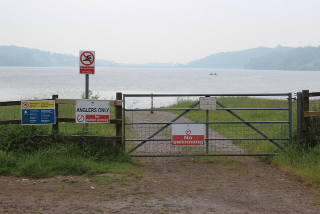
Llandegfedd Reservoir
Llandegfedd Reservoir (also known as Llandegveth Reservoir) is a large 174 hectare water supply reservoir and is eight miles (13 km) north of Newport...
Cefn Ila
Cefn Ila (Welsh: Coed Cefn Ila) is an 83 acres (34 ha) woodland located in Llanbadoc, a mile away from Usk, Monmouthshire, Wales, owned and run by the...
Nearby Amenities
Located within 500m of 51.689426,-2.9479326Have you been to Coed Canol?
Leave your review of Coed Canol below (or comments, questions and feedback).