Coed Mawr

Wood, Forest in Monmouthshire

Wales

Coed Mawr

Shore of Llandegfedd Reservoir Shore of an inlet on the north east part of the reservoir, which does not appear to be full. This littoral area is closed to the public from 1 November to 1 March as it used by overwintering wildfowl.
Shore of Llandegfedd Reservoir Credit: M J Roscoe

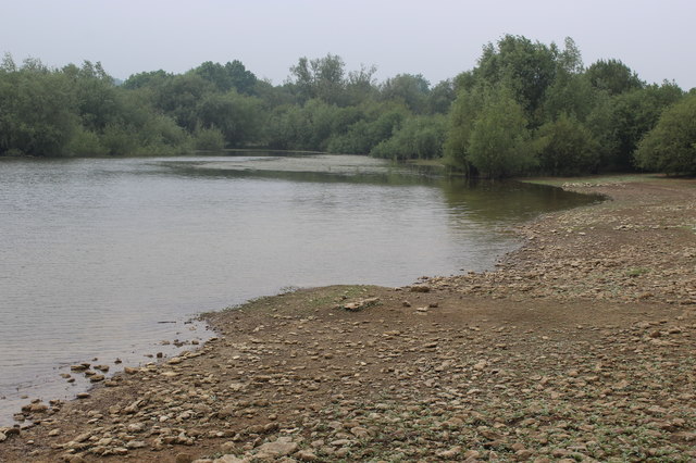
Coed Mawr is a woodland area located in Monmouthshire, Wales. It is a popular destination for nature lovers and outdoor enthusiasts due to its stunning natural beauty and diverse wildlife. The woodland is home to a variety of tree species, including oak, beech, and ash, as well as a wide range of plants and flowers.

Coed Mawr offers several walking trails and paths for visitors to explore the forest, providing opportunities to observe the local flora and fauna up close. The woodland is also home to a number of bird species, making it a great spot for birdwatching.

The area is well-maintained and managed by the local authorities, ensuring that visitors can enjoy a peaceful and tranquil environment during their visit. There are also picnic areas and benches scattered throughout the woodland, making it a great place for a relaxing day out with family and friends.

Overall, Coed Mawr is a beautiful and peaceful woodland area in Monmouthshire, offering visitors the chance to connect with nature and enjoy the great outdoors.

If you have any feedback on the listing, please let us know in the comments section below.
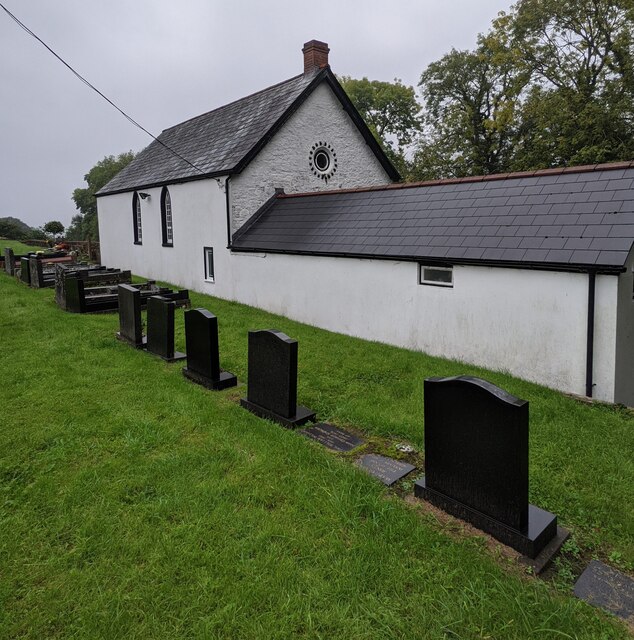
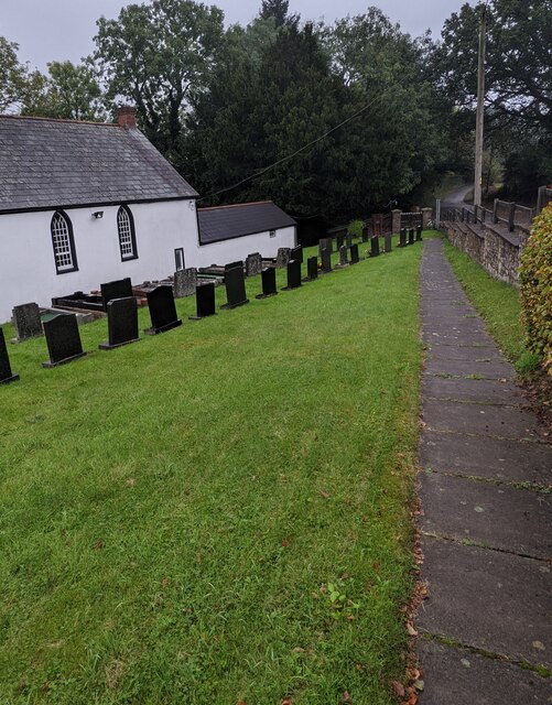
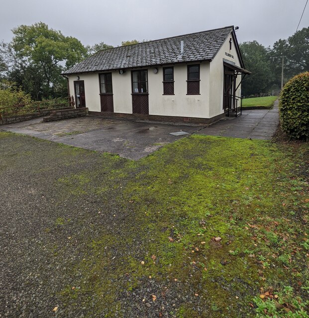
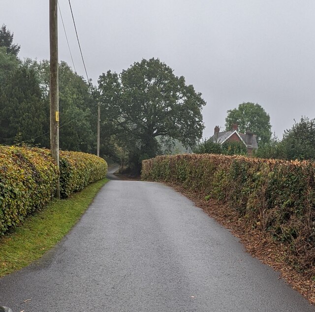
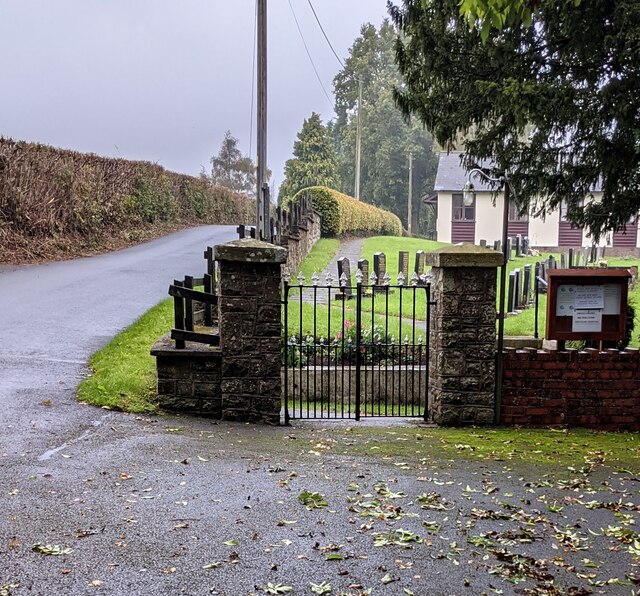
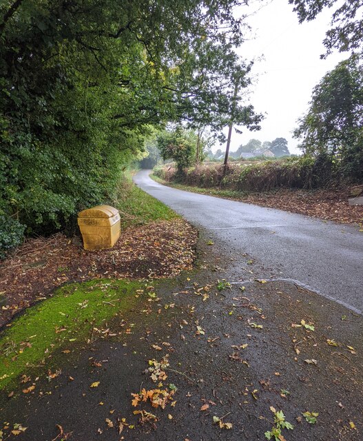
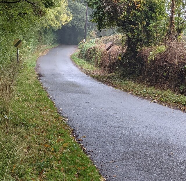
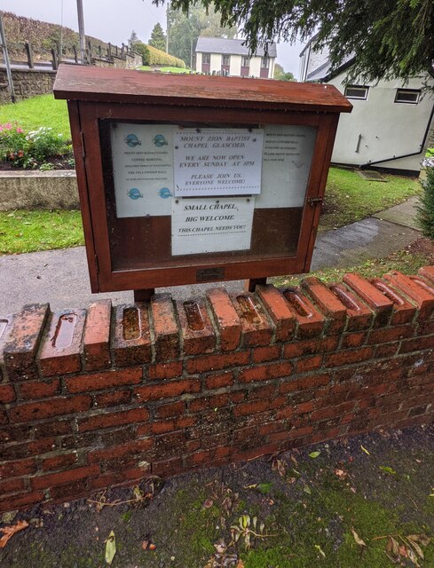
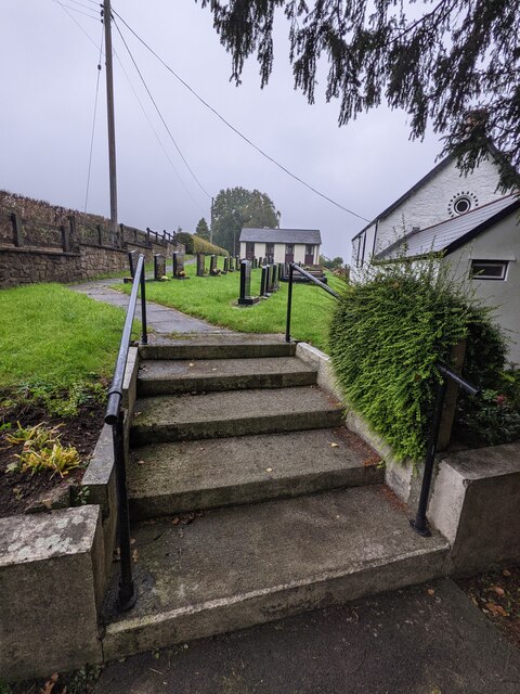
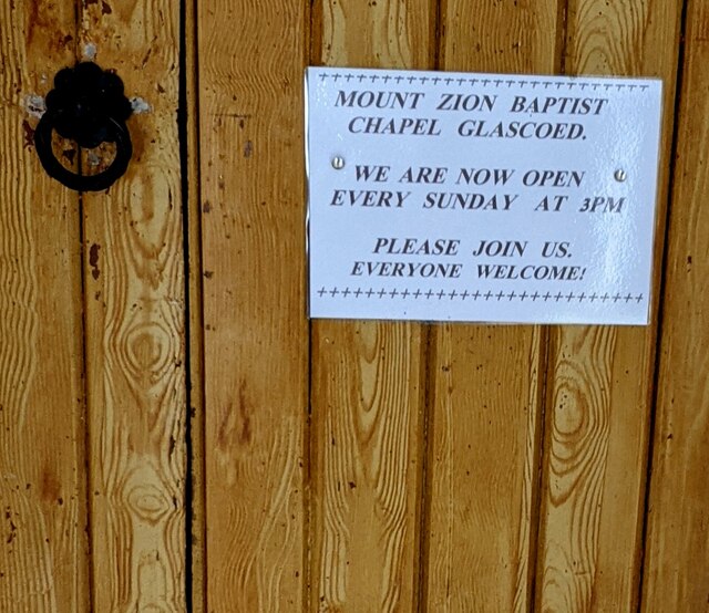
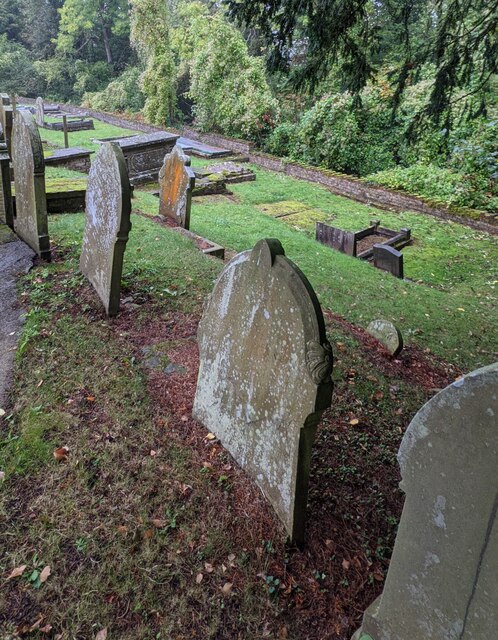
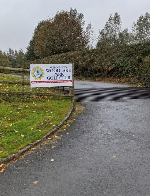
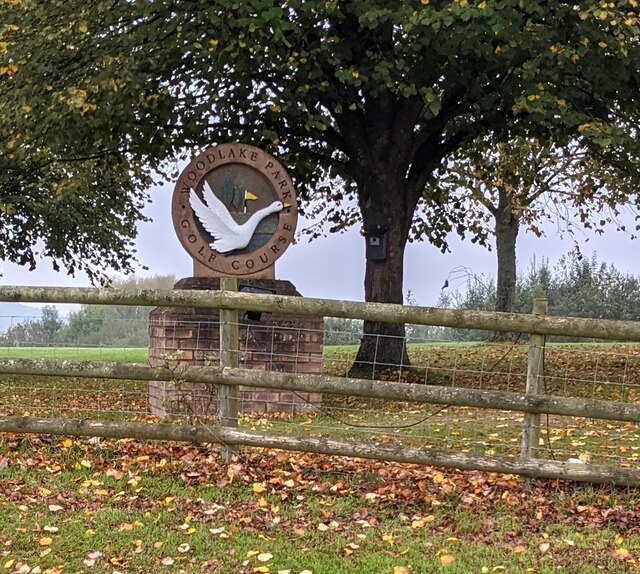
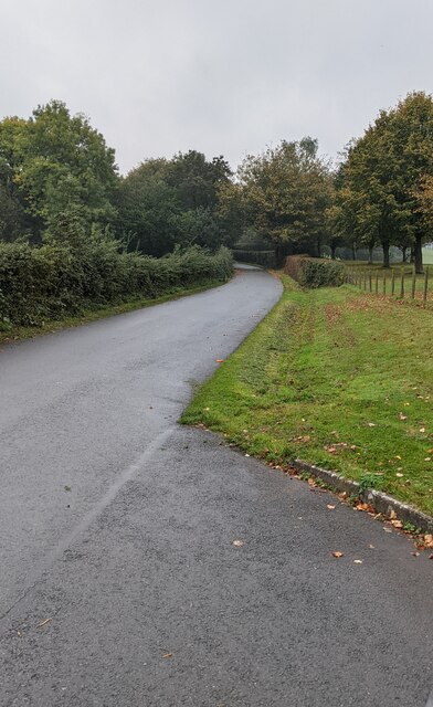
Coed Mawr Images

Images are sourced within 2km of 51.684156/-2.9491533 or Grid Reference ST3498. Thanks to Geograph Open Source API. All images are credited.

Shore of Llandegfedd Reservoir Shore of an inlet on the north east part of the reservoir, which does not appear to be full. This littoral area is closed to the public from 1 November to 1 March as it used by overwintering wildfowl.
Shore of Llandegfedd Reservoir
Shore of an inlet on the north east part of the reservoir, which does not appear to be full. This littoral area is closed to the public from 1 November to 1 March as it used by overwintering wildfowl.
Mount Zion Baptist Church, Glascoed, Monmouthshire Set below road level. Also known as Mount Zion Baptist Chapel, though the nameboard here <a title="https://www.geograph.org.uk/photo/6995019" href="https://www.geograph.org.uk/photo/6995019">Link</a> in 2021 shows Mount Zion Baptist Church.
Mount Zion Baptist Church, Glascoed, Monmouthshire
Set below road level. Also known as Mount Zion Baptist Chapel, though the nameboard here Link in 2021 shows Mount Zion Baptist Church.
Mount Zion Baptist Church nameboard, Glascoed, Monmouthshire The church <a title="https://www.geograph.org.uk/photo/6995016" href="https://www.geograph.org.uk/photo/6995016">Link</a> is in the background.
Mount Zion Baptist Church nameboard, Glascoed, Monmouthshire
The church Link is in the background.
The Manse, Glascoed, Monmouthshire Detached house located near Mount Zion Baptist Church. <a title="https://www.geograph.org.uk/photo/6995016" href="https://www.geograph.org.uk/photo/6995016">Link</a>
The Manse, Glascoed, Monmouthshire
Detached house located near Mount Zion Baptist Church. Link
Gravestones and church, Glascoed, Monmouthshire These gravestones date from the 20th or 21st century. 
Older gravestones <a title="https://www.geograph.org.uk/photo/6995409" href="https://www.geograph.org.uk/photo/6995409">Link</a> are elsewhere in Mount Zion Baptist churchyard.
Gravestones and church, Glascoed, Monmouthshire
These gravestones date from the 20th or 21st century. Older gravestones Link are elsewhere in Mount Zion Baptist churchyard.
Path above a churchyard, Glascoed, Monmouthshire Mount Zion Baptist Church <a title="https://www.geograph.org.uk/photo/6995016" href="https://www.geograph.org.uk/photo/6995016">Link</a> is on the left.
Path above a churchyard, Glascoed, Monmouthshire
Mount Zion Baptist Church Link is on the left.
Fellowship Hall, Glascoed, Monmouthshire The hall for the nearby Mount Zion Baptist Church. <a title="https://www.geograph.org.uk/photo/6995016" href="https://www.geograph.org.uk/photo/6995016">Link</a>
Fellowship Hall, Glascoed, Monmouthshire
The hall for the nearby Mount Zion Baptist Church. Link
Hedge-lined road, Glascoed, Monmouthshire Mount Zion Baptist Church <a title="https://www.geograph.org.uk/photo/6995016" href="https://www.geograph.org.uk/photo/6995016">Link</a> is nearby.
Hedge-lined road, Glascoed, Monmouthshire
Mount Zion Baptist Church Link is nearby.
Churchyard entrance gates, Glascoed, Monmouthshire Ahead for Mount Zion Baptist Church <a title="https://www.geograph.org.uk/photo/6995016" href="https://www.geograph.org.uk/photo/6995016">Link</a> and the Fellowship Hall. <a title="https://www.geograph.org.uk/photo/6995282" href="https://www.geograph.org.uk/photo/6995282">Link</a>
Churchyard entrance gates, Glascoed, Monmouthshire
Ahead for Mount Zion Baptist Church Link and the Fellowship Hall. Link
Yellow salt/grit box, Glascoed, Monmouthshire The entrance gates <a title="https://www.geograph.org.uk/photo/6995307" href="https://www.geograph.org.uk/photo/6995307">Link</a> to Mount Zion Baptist churchyard are behind the camera.
Yellow salt/grit box, Glascoed, Monmouthshire
The entrance gates Link to Mount Zion Baptist churchyard are behind the camera.
National Speed Limit signs, Glascoed, Monmouthshire At the end of the 30mph speed limit in Glascoed. 
Ahead for the village of Coed-y-paen, Monmouthshire.
National Speed Limit signs, Glascoed, Monmouthshire
At the end of the 30mph speed limit in Glascoed. Ahead for the village of Coed-y-paen, Monmouthshire.
Information board above a low brick wall, Glascoed, Monmouthshire On the right here. <a title="https://www.geograph.org.uk/photo/6995307" href="https://www.geograph.org.uk/photo/6995307">Link</a> Text in view in October 2021 includes

"MOUNT ZION BAPTIST CHAPEL GLASCOED. WE ARE NOW OPEN EVERY SUNDAY AT 3PM. PLEASE JOIN US. EVERYONE WELCOME!" and "SMALL CHAPEL - BIG WELCOME. THIS CHAPEL NEEDS YOU!"

Although "chapel" is used here, the nearby nameboard <a title="https://www.geograph.org.uk/photo/6995019" href="https://www.geograph.org.uk/photo/6995019">Link</a> shows MOUNT ZION BAPTIST CHURCH
Information board above a low brick wall, Glascoed, Monmouthshire
On the right here. Link Text in view in October 2021 includes "MOUNT ZION BAPTIST CHAPEL GLASCOED. WE ARE NOW OPEN EVERY SUNDAY AT 3PM. PLEASE JOIN US. EVERYONE WELCOME!" and "SMALL CHAPEL - BIG WELCOME. THIS CHAPEL NEEDS YOU!" Although "chapel" is used here, the nearby nameboard Link shows MOUNT ZION BAPTIST CHURCH
Steps up to Mount Zion Baptist churchyard, Glascoed, Monmouthshire Mount Zion Baptist Church <a title="https://www.geograph.org.uk/photo/6995016" href="https://www.geograph.org.uk/photo/6995016">Link</a> is on the right.
Fellowship Hall <a title="https://www.geograph.org.uk/photo/6995282" href="https://www.geograph.org.uk/photo/6995282">Link</a> is in the background.
Steps up to Mount Zion Baptist churchyard, Glascoed, Monmouthshire
Mount Zion Baptist Church Link is on the right. Fellowship Hall Link is in the background.
Notice on a chapel entrance door, Glascoed, Monmouthshire In October 2021 the notice shows 
 
WE ARE NOW OPEN EVERY SUNDAY AT 3PM. PLEASE JOIN US. EVERYONE WELCOME!

Although "chapel" is used here, the nearby nameboard <a title="https://www.geograph.org.uk/photo/6995019" href="https://www.geograph.org.uk/photo/6995019">Link</a> shows MOUNT ZION BAPTIST CHURCH
Notice on a chapel entrance door, Glascoed, Monmouthshire
In October 2021 the notice shows WE ARE NOW OPEN EVERY SUNDAY AT 3PM. PLEASE JOIN US. EVERYONE WELCOME! Although "chapel" is used here, the nearby nameboard Link shows MOUNT ZION BAPTIST CHURCH
Old gravestones, Glascoed, Monmouthshire These gravestones in Mount Zion Baptist churchyard 
are much older than these <a title="https://www.geograph.org.uk/photo/6995273" href="https://www.geograph.org.uk/photo/6995273">Link</a> nearby gravestones.
Old gravestones, Glascoed, Monmouthshire
These gravestones in Mount Zion Baptist churchyard are much older than these Link nearby gravestones.
Welcome to Woodlake Park Golf Club, Monmouthshire The Welcome board is alongside a grid across 
the entrance from the road from Glascoed to Coed-y-Paen.
Welcome to Woodlake Park Golf Club, Monmouthshire
The Welcome board is alongside a grid across the entrance from the road from Glascoed to Coed-y-Paen.
Woodlake Park Golf Course name sign, Monmouthshire Located near the golf club entrance road <a title="https://www.geograph.org.uk/photo/6996198" href="https://www.geograph.org.uk/photo/6996198">Link</a>
Woodlake Park Golf Course name sign, Monmouthshire
Located near the golf club entrance road Link
Road from Glascoed towards Coed-y-Paen Looking south along a road in rural Monmouthshire.
Road from Glascoed towards Coed-y-Paen
Looking south along a road in rural Monmouthshire.
Show me another place!

Coed Mawr is located at Grid Ref: ST3498 (Lat: 51.684156, Lng: -2.9491533)

Unitary Authority: Monmouthshire

Police Authority: Gwent

What 3 Words

///pollution.daydream.ketchup. Near Llanbadoc, Monmouthshire
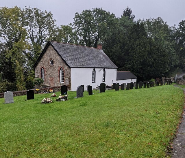
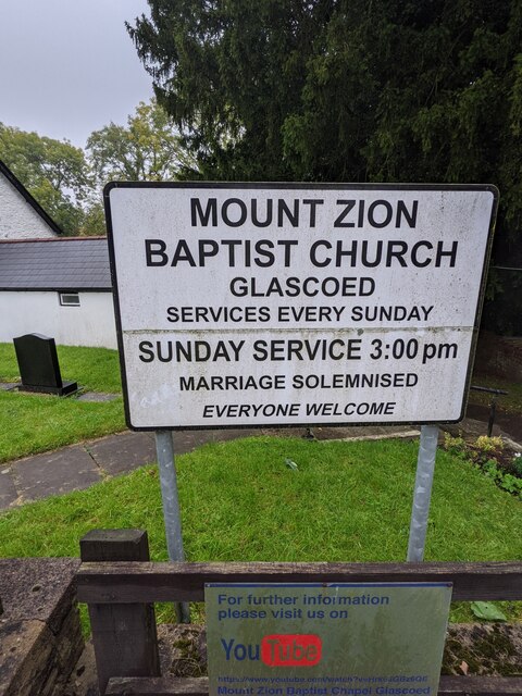
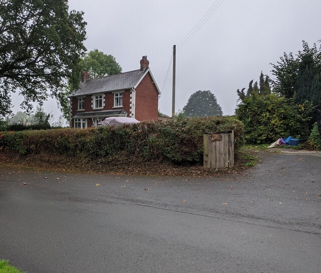
Related Wikis

HM Prison Prescoed

HM Prison Prescoed (Welsh: Carchar Prescoed EF) is a Category D men's open prison, located in Coed-y-paen, three miles from Usk in Monmouthshire, Wales...

Coed-y-paen

Coed-y-paen is a village in South Wales, situated at the south-eastern end of Llandegfedd Reservoir, 2.5 miles (4 km) north-west of Llangybi. HM Prison...

Usk Inlier

The Usk Inlier is a domed outcrop of rock strata of Silurian age in Monmouthshire in south-eastern Wales. It is located in the countryside between the...

Llandegfedd Reservoir

Llandegfedd Reservoir (also known as Llandegveth Reservoir) is a large 174 hectare water supply reservoir and is eight miles (13 km) north of Newport...

Nearby Amenities

Located within 500m of 51.684156,-2.9491533
Pentre-waun Wood Minor
Natural: wood
Lat/Long: 51.6854644/-2.9554828
Citcoed Wood
Natural: wood
Lat/Long: 51.6825243/-2.9500325
Coed Mawr
Natural: wood
Lat/Long: 51.6840678/-2.9495559
Cwm Wood
Natural: wood
Lat/Long: 51.6842005/-2.9464317
Power: pole
Lat/Long: 51.6853863/-2.949749
Power: pole
Lat/Long: 51.6861058/-2.9492066
Power: pole
Lat/Long: 51.6868769/-2.9485891
Power: pole
Lat/Long: 51.6846597/-2.9503513
Power: pole
Lat/Long: 51.6828881/-2.9531255
Power: pole
Lat/Long: 51.6826066/-2.9539492
Power: pole
Lat/Long: 51.6824798/-2.9548784
Power: pole
Lat/Long: 51.6865359/-2.9496418
Power: pole
Lat/Long: 51.6872542/-2.950337
Power: pole
Lat/Long: 51.6873642/-2.9504336
Power: pole
Lat/Long: 51.687655/-2.9509861
Power: pole
Lat/Long: 51.6880509/-2.9516776
Power: pole
Lat/Long: 51.6877327/-2.9508942
Crossing
Crossing: uncontrolled
Crossing Island: no
Crossing Markings: zebra
Tactile Paving: no
Lat/Long: 51.6865881/-2.9437496
Crossing
Crossing: uncontrolled
Crossing Island: no
Crossing Markings: zebra
Tactile Paving: no
Lat/Long: 51.6856121/-2.9433444
Crossing
Crossing: uncontrolled
Crossing Island: no
Crossing Markings: zebra
Tactile Paving: no
Lat/Long: 51.6861776/-2.9437859
The data included in this document is from www.openstreetmap.org. The data is made available under ODbL.

Have you been to Coed Mawr?

Leave your review of Coed Mawr below (or comments, questions and feedback).