Citcoed Wood
Wood, Forest in Monmouthshire
Wales
Citcoed Wood
Citcoed Wood is a beautiful and diverse woodland located in Monmouthshire, Wales. Spanning over an area of around 160 acres, it is a captivating forest that attracts nature enthusiasts, hikers, and wildlife lovers alike.
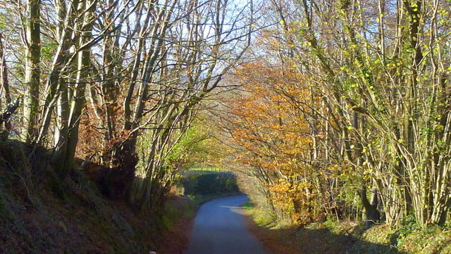
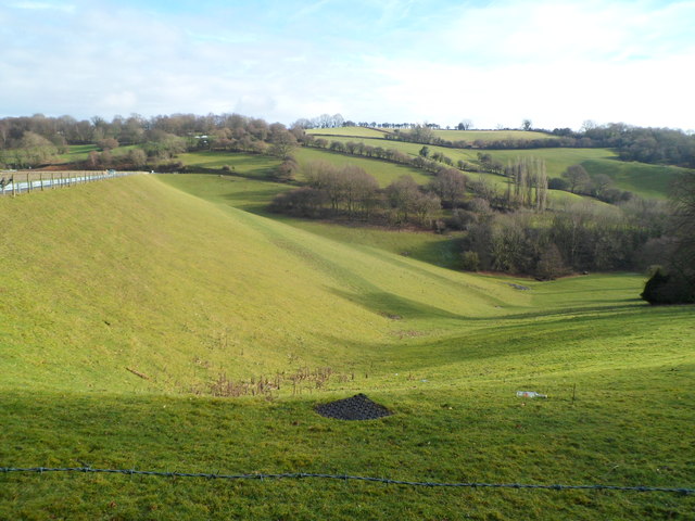
The wood is characterized by a mixture of broadleaf and coniferous trees, including oak, beech, pine, and spruce, creating a rich and varied habitat. This variety of tree species ensures a vibrant display of colors during the changing seasons, making it a popular destination for photographers and nature enthusiasts.
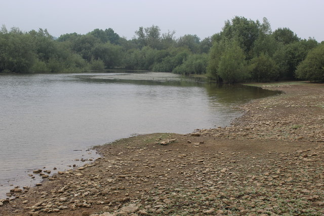
Citcoed Wood is home to an abundance of wildlife, including several bird species, such as woodpeckers, owls, and various songbirds. Visitors may also spot mammals like badgers, foxes, and deer roaming freely within the woodland. The presence of a small stream running through the wood adds to its natural charm and provides a habitat for amphibians and small aquatic creatures.
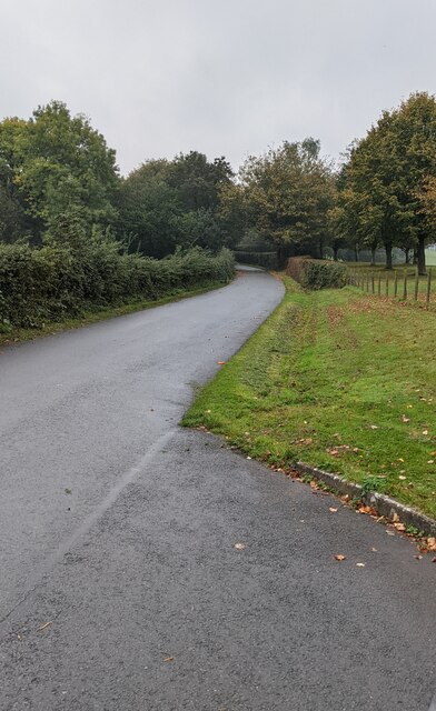
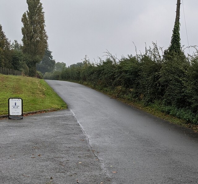
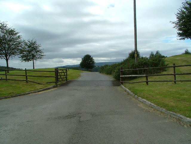
The woodland offers a network of well-maintained trails and footpaths, allowing visitors to explore its beauty at their own pace. There are picnic areas and benches scattered throughout the wood, providing opportunities for relaxation and enjoying the serene surroundings.
Managed by the Woodland Trust, Citcoed Wood is not only a place for recreation but also serves as an important conservation site. The trust actively works towards preserving the woodland and its biodiversity, ensuring its long-term sustainability for generations to come.
Overall, Citcoed Wood in Monmouthshire is a captivating forest that offers a peaceful retreat for individuals seeking to immerse themselves in nature.
If you have any feedback on the listing, please let us know in the comments section below.
Citcoed Wood Images
Images are sourced within 2km of 51.682311/-2.9505178 or Grid Reference ST3498. Thanks to Geograph Open Source API. All images are credited.
Citcoed Wood is located at Grid Ref: ST3498 (Lat: 51.682311, Lng: -2.9505178)
Unitary Authority: Monmouthshire
Police Authority: Gwent
What 3 Words
///amps.reservoir.galaxy. Near Llangybi, Monmouthshire
Nearby Locations
Related Wikis

HM Prison Prescoed
HM Prison Prescoed (Welsh: Carchar Prescoed EF) is a Category D men's open prison, located in Coed-y-paen, three miles from Usk in Monmouthshire, Wales...

Coed-y-paen
Coed-y-paen is a village in South Wales, situated at the south-eastern end of Llandegfedd Reservoir, 2.5 miles (4 km) north-west of Llangybi. HM Prison...

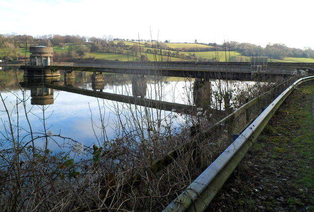
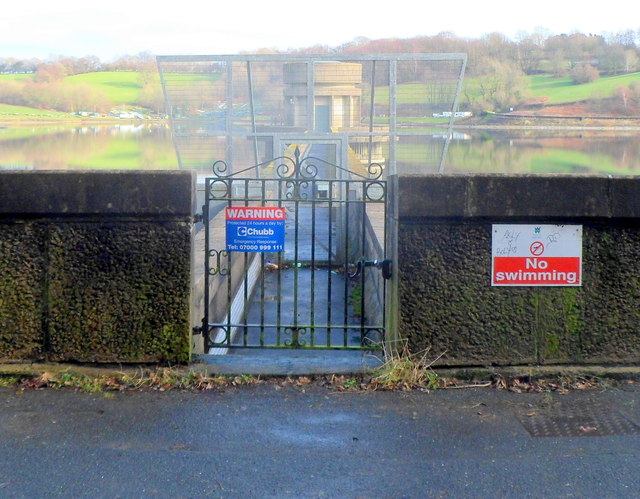
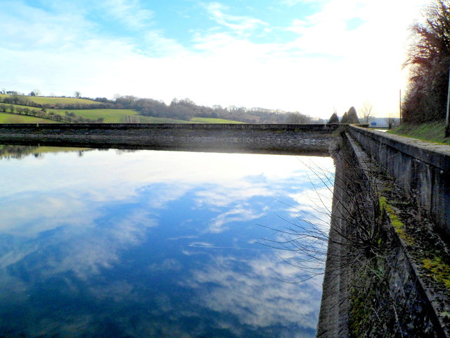
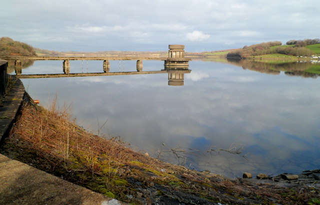
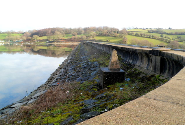
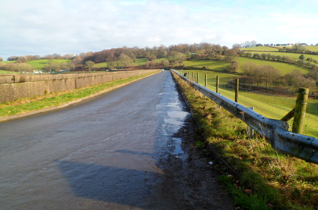
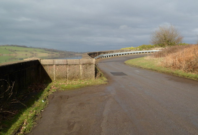
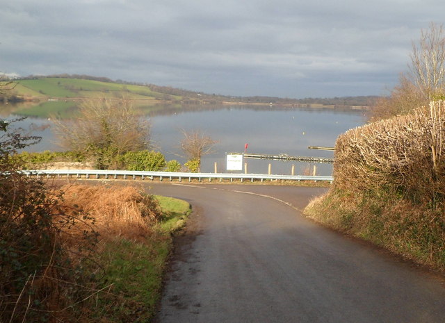
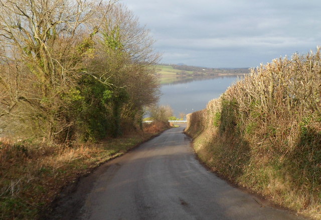
Llandegfedd Reservoir
Llandegfedd Reservoir (also known as Llandegveth Reservoir) is a large 174 hectare water supply reservoir and is eight miles (13 km) north of Newport...
Usk Inlier
The Usk Inlier is a domed outcrop of rock strata of Silurian age in Monmouthshire in south-eastern Wales. It is located in the countryside between the...

Tregrug Castle
Tregrug Castle (Welsh: Castell Tregrug; Welsh pronunciation: [ˈkastɛɬ trɛˈɡriːɡ]) or Llangibby Castle is a ruin in Monmouthshire, Wales, located about...
Cefn Ila
Cefn Ila (Welsh: Coed Cefn Ila) is an 83 acres (34 ha) woodland located in Llanbadoc, a mile away from Usk, Monmouthshire, Wales, owned and run by the...

Llanddewi Court
Llanddewi Court, Llanddewi Skirrid, Monmouthshire, Wales, is a Grade II* listed house dating from the late 16th century. It is an example of a "double...
ROF Glascoed
ROF Glascoed (today BAE Systems Munitions Glascoed) was built as a UK government-owned, Royal Ordnance Factory (ROF). It was designed as one of 20 munitions...
Nearby Amenities
Located within 500m of 51.682311,-2.9505178Have you been to Citcoed Wood?
Leave your review of Citcoed Wood below (or comments, questions and feedback).