Cwm Wood

Wood, Forest in Monmouthshire

Wales

Cwm Wood

Shore of Llandegfedd Reservoir Shore of an inlet on the north east part of the reservoir, which does not appear to be full. This littoral area is closed to the public from 1 November to 1 March as it used by overwintering wildfowl.
Shore of Llandegfedd Reservoir Credit: M J Roscoe

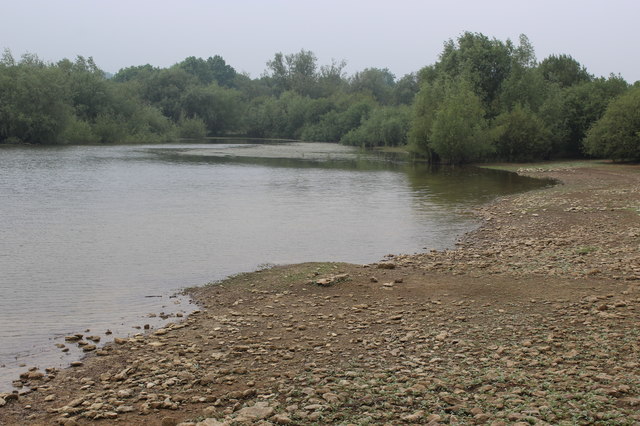
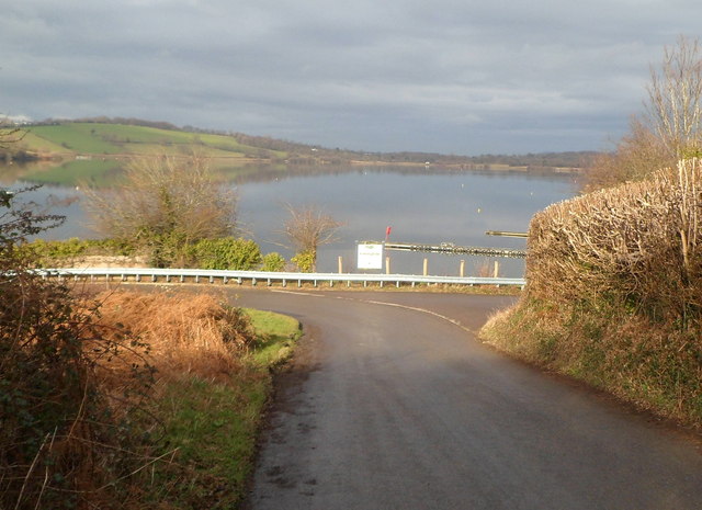
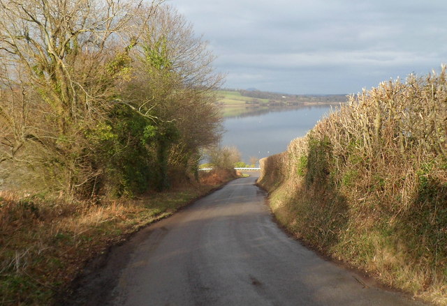
Cwm Wood is a picturesque forest located in Monmouthshire, Wales. Covering an area of approximately 50 hectares, the wood is nestled within the beautiful landscape of the Usk Valley. The wood is owned and managed by the Forestry Commission, ensuring its preservation and maintenance.

The forest is characterized by its diverse range of tree species, including oak, beech, and conifers. These towering trees create a dense canopy, providing a habitat for a variety of wildlife. Visitors to Cwm Wood can expect to encounter an array of bird species, such as woodpeckers and owls, as well as small mammals like squirrels and badgers.

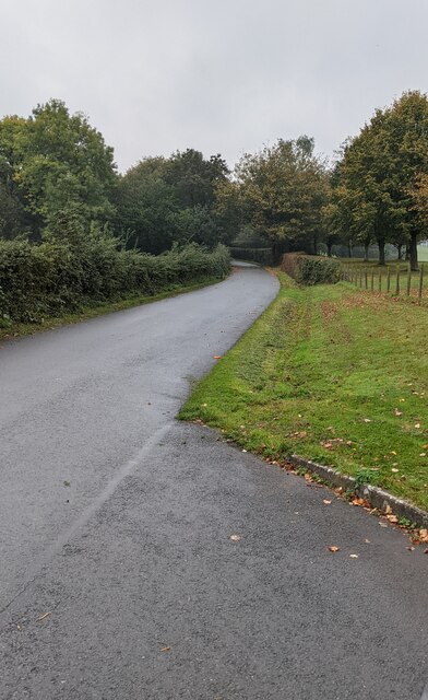
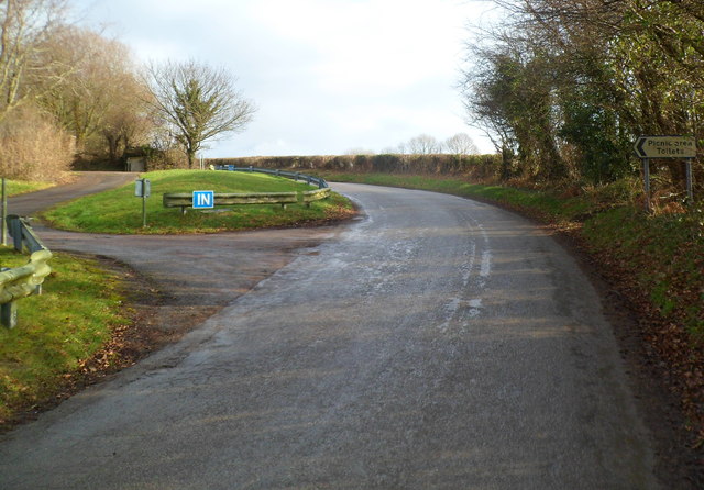
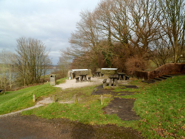
A network of well-maintained footpaths and trails wind through the wood, allowing visitors to explore its natural beauty at their own pace. These paths meander through peaceful glades, across babbling streams, and up gentle hills, offering breathtaking views of the surrounding countryside.

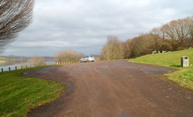
Cwm Wood is not only a haven for nature enthusiasts but also a popular destination for recreational activities. The forest provides opportunities for walking, picnicking, and nature photography. It is also a favored spot for families, with designated play areas for children and facilities for barbecues.

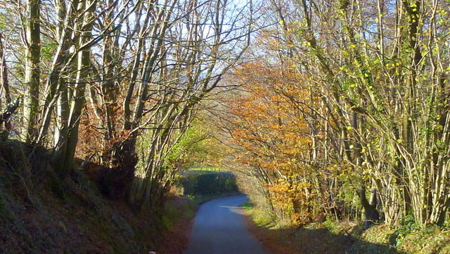
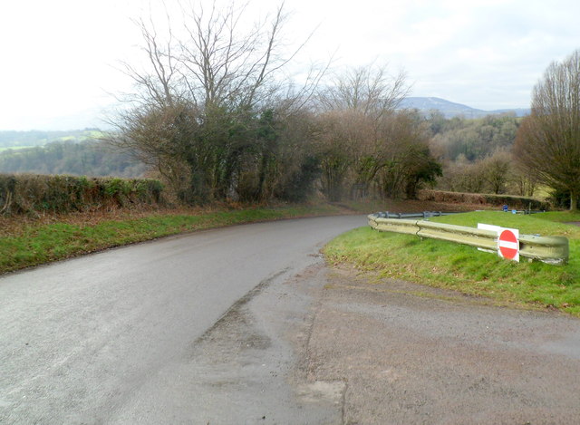
The wood is easily accessible, with ample parking available for visitors. It is open year-round, although it may be particularly stunning during the autumn season when the foliage transforms into a vibrant display of reds, oranges, and yellows.

Overall, Cwm Wood is a tranquil and enchanting forest that offers a peaceful retreat for those seeking a connection with nature in the heart of Monmouthshire.

If you have any feedback on the listing, please let us know in the comments section below.
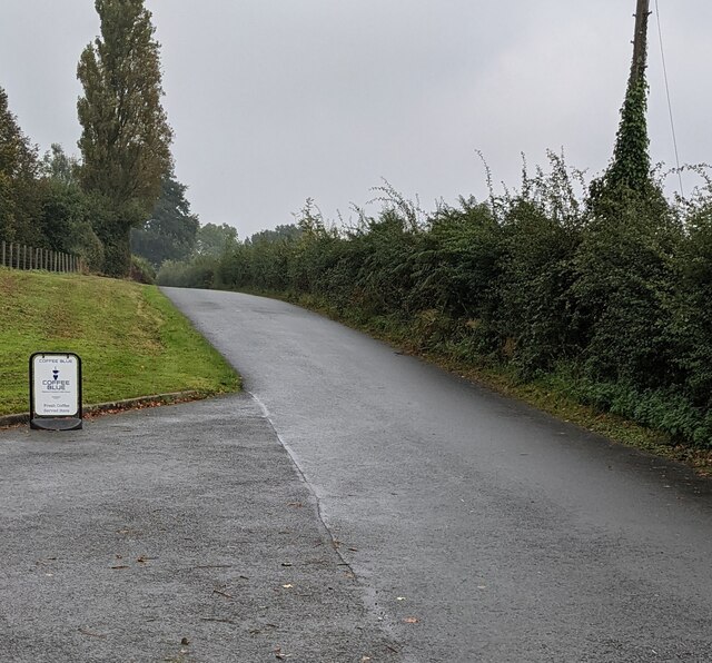
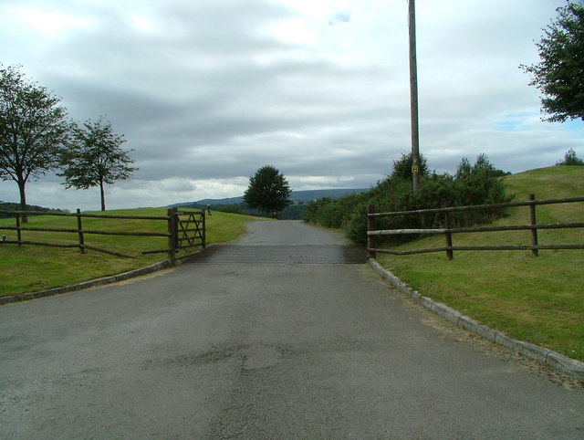
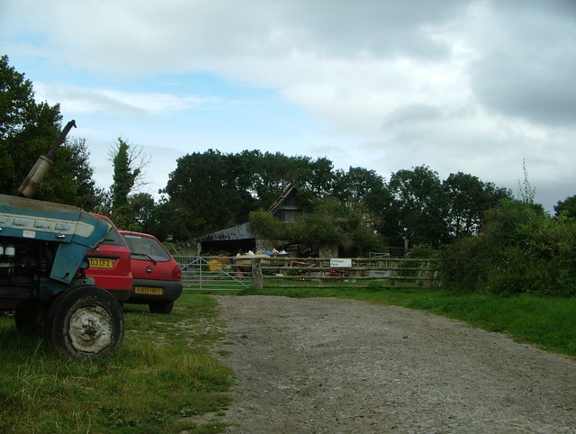
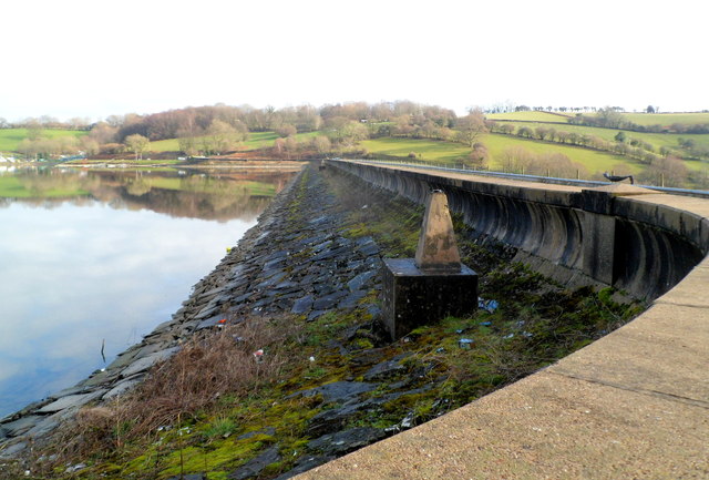
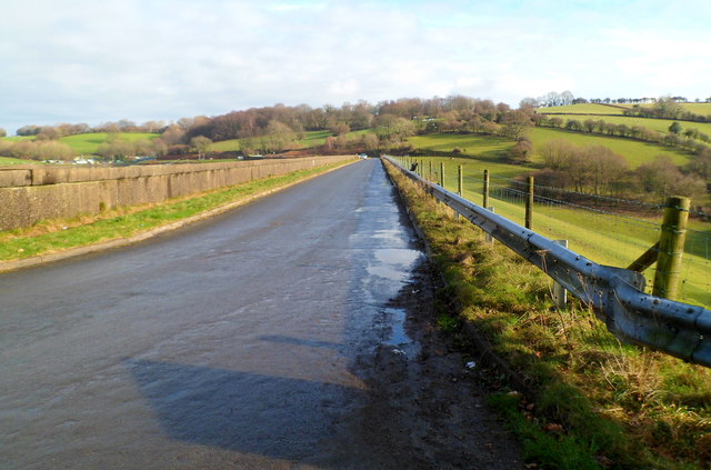
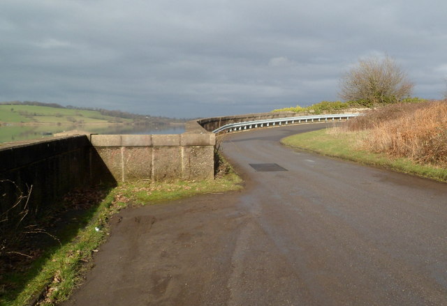
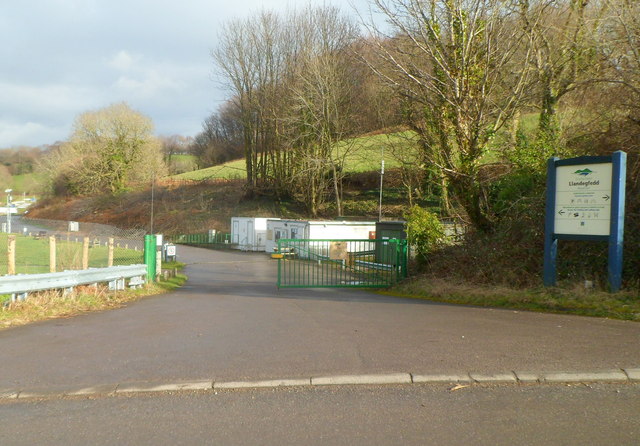
Cwm Wood Images

Images are sourced within 2km of 51.683642/-2.9460182 or Grid Reference ST3498. Thanks to Geograph Open Source API. All images are credited.

Shore of Llandegfedd Reservoir Shore of an inlet on the north east part of the reservoir, which does not appear to be full. This littoral area is closed to the public from 1 November to 1 March as it used by overwintering wildfowl.
Shore of Llandegfedd Reservoir
Shore of an inlet on the north east part of the reservoir, which does not appear to be full. This littoral area is closed to the public from 1 November to 1 March as it used by overwintering wildfowl.
Welcome to Woodlake Park Golf Club, Monmouthshire The Welcome board is alongside a grid across 
the entrance from the road from Glascoed to Coed-y-Paen.
Welcome to Woodlake Park Golf Club, Monmouthshire
The Welcome board is alongside a grid across the entrance from the road from Glascoed to Coed-y-Paen.
Woodlake Park Golf Course name sign, Monmouthshire Located near the golf club entrance road <a title="https://www.geograph.org.uk/photo/6996198" href="https://www.geograph.org.uk/photo/6996198">Link</a>
Woodlake Park Golf Course name sign, Monmouthshire
Located near the golf club entrance road Link
Road from Glascoed towards Coed-y-Paen Looking south along a road in rural Monmouthshire.
Road from Glascoed towards Coed-y-Paen
Looking south along a road in rural Monmouthshire.
Road from Coed-y-Paen towards Glascoed Looking north along a road in rural Monmouthshire.
Road from Coed-y-Paen towards Glascoed
Looking north along a road in rural Monmouthshire.
Woodlake Park golf course (entrance) This is the entrance to Woodlake Park golf course
Woodlake Park golf course (entrance)
This is the entrance to Woodlake Park golf course
Cilfeigan Farm This is Cilfeigan Farm, hard to find.
Cilfeigan Farm
This is Cilfeigan Farm, hard to find.
View from the myriad line Looking north-west along the lane to Glascoed on the southern edge of the SO myriad.
View from the myriad line
Looking north-west along the lane to Glascoed on the southern edge of the SO myriad.
Southern edge of Llandegfedd Reservoir Viewed from the SW corner of the reservoir. At about 375 metres across, this is the narrowest part of the reservoir. Its maximum dimensions are 2km wide (west to east) and 2.2 km long (SSW to NNE).
In the foreground is a triangulation pillar (trig point).
Southern edge of Llandegfedd Reservoir
Viewed from the SW corner of the reservoir. At about 375 metres across, this is the narrowest part of the reservoir. Its maximum dimensions are 2km wide (west to east) and 2.2 km long (SSW to NNE). In the foreground is a triangulation pillar (trig point).
Road along the southern edge of Llandegfedd Reservoir The reservoir <a title="https://www.geograph.org.uk/photo/3120645" href="https://www.geograph.org.uk/photo/3120645">Link</a> is on the far side of the wall on the left.
Road along the southern edge of Llandegfedd Reservoir
The reservoir Link is on the far side of the wall on the left.
Western edge of a hairpin bend, Llandegfedd Reservoir
Entrance to fishing and sailing area, Llandegfedd Reservoir The entrance is at the SE corner of the reservoir. Access to the reservoir and its margins beyond the access road is restricted to those who hold permits. Other visitors to the area are asked to keep to the picnic areas and marked footpaths.
Entrance to fishing and sailing area, Llandegfedd Reservoir
The entrance is at the SE corner of the reservoir. Access to the reservoir and its margins beyond the access road is restricted to those who hold permits. Other visitors to the area are asked to keep to the picnic areas and marked footpaths.
Eastern edge of a hairpin bend, Llandegfedd Reservoir Viewed from the road that passes the entrance to the reservoir's eastern picnic site. 
The right turn is the entrance <a title="https://www.geograph.org.uk/photo/3121094" href="https://www.geograph.org.uk/photo/3121094">Link</a> to the fishing and sailing area.
Eastern edge of a hairpin bend, Llandegfedd Reservoir
Viewed from the road that passes the entrance to the reservoir's eastern picnic site. The right turn is the entrance Link to the fishing and sailing area.
Descent to a hairpin bend, Llandegfedd Reservoir Viewed from near the entrance to the reservoir's eastern picnic site.
Descent to a hairpin bend, Llandegfedd Reservoir
Viewed from near the entrance to the reservoir's eastern picnic site.
Entrance to Llandegfedd Reservoir's eastern picnic site Located high above the reservoir, the eastern picnic site gives extensive views 
of the reservoir and surrounding countryside.
Entrance to Llandegfedd Reservoir's eastern picnic site
Located high above the reservoir, the eastern picnic site gives extensive views of the reservoir and surrounding countryside.
Picnic area car park, Llandegfedd Reservoir From the high ground of the car park and eastern picnic area, 
there are extensive views of the reservoir and surrounding countryside.
Picnic area car park, Llandegfedd Reservoir
From the high ground of the car park and eastern picnic area, there are extensive views of the reservoir and surrounding countryside.
Picnic area, Llandegfedd Reservoir The picnic tables are in the reservoir's eastern picnic area.
Picnic area, Llandegfedd Reservoir
The picnic tables are in the reservoir's eastern picnic area.
Exit road from eastern picnic site,  Llandegfedd Reservoir The road from Coed-y-paen descends towards the reservoir. <a title="https://www.geograph.org.uk/photo/3121112" href="https://www.geograph.org.uk/photo/3121112">Link</a>
Exit road from eastern picnic site, Llandegfedd Reservoir
The road from Coed-y-paen descends towards the reservoir. Link
Show me another place!

Cwm Wood is located at Grid Ref: ST3498 (Lat: 51.683642, Lng: -2.9460182)

Unitary Authority: Monmouthshire

Police Authority: Gwent

What 3 Words

///cyclones.decide.prance. Near Llanbadoc, Monmouthshire

Related Wikis

HM Prison Prescoed

HM Prison Prescoed (Welsh: Carchar Prescoed EF) is a Category D men's open prison, located in Coed-y-paen, three miles from Usk in Monmouthshire, Wales...

Coed-y-paen

Coed-y-paen is a village in South Wales, situated at the south-eastern end of Llandegfedd Reservoir, 2.5 miles (4 km) north-west of Llangybi. HM Prison...

Usk Inlier

The Usk Inlier is a domed outcrop of rock strata of Silurian age in Monmouthshire in south-eastern Wales. It is located in the countryside between the...

Cefn Ila

Cefn Ila (Welsh: Coed Cefn Ila) is an 83 acres (34 ha) woodland located in Llanbadoc, a mile away from Usk, Monmouthshire, Wales, owned and run by the...

Nearby Amenities

Located within 500m of 51.683642,-2.9460182
Created By: GPSBabel-1.3.6
Lat/Long: 51.679849/-2.944375
Created By: GPSBabel-1.3.6
Lat/Long: 51.679956/-2.94428
Created By: GPSBabel-1.3.6
Lat/Long: 51.680064/-2.944198
Created By: GPSBabel-1.3.6
Lat/Long: 51.680716/-2.94326
Created By: GPSBabel-1.3.6
Lat/Long: 51.68078/-2.943166
Created By: GPSBabel-1.3.6
Lat/Long: 51.680836/-2.943077
Created By: GPSBabel-1.3.6
Lat/Long: 51.682546/-2.941315
Created By: GPSBabel-1.3.6
Lat/Long: 51.682282/-2.941681
Created By: GPSBabel-1.3.6
Lat/Long: 51.682208/-2.941777
Created By: GPSBabel-1.3.6
Lat/Long: 51.682124/-2.941864
Created By: GPSBabel-1.3.6
Lat/Long: 51.68098/-2.942939
Citcoed Wood
Natural: wood
Lat/Long: 51.6825243/-2.9500325
Coed Mawr
Natural: wood
Lat/Long: 51.6840678/-2.9495559
Cwm Wood
Natural: wood
Lat/Long: 51.6842005/-2.9464317
Coed Mawr
Natural: wood
Lat/Long: 51.6848904/-2.941018
Coed Heol
Natural: wood
Lat/Long: 51.6873169/-2.9419863
Power: pole
Lat/Long: 51.6806493/-2.9406117
Power: pole
Lat/Long: 51.6853863/-2.949749
Power: pole
Lat/Long: 51.6861058/-2.9492066
Power: pole
Lat/Long: 51.6868769/-2.9485891
Power: pole
Lat/Long: 51.6846597/-2.9503513
Power: pole
Lat/Long: 51.6828881/-2.9531255
Power: pole
Lat/Long: 51.6865359/-2.9496418
Power: pole
Lat/Long: 51.6872542/-2.950337
Crossing
Crossing: uncontrolled
Crossing Island: no
Crossing Markings: zebra
Tactile Paving: no
Lat/Long: 51.6865881/-2.9437496
Crossing
Crossing: uncontrolled
Crossing Island: no
Crossing Markings: zebra
Tactile Paving: no
Lat/Long: 51.6856121/-2.9433444
Crossing
Crossing: uncontrolled
Crossing Island: no
Crossing Markings: zebra
Tactile Paving: no
Lat/Long: 51.6861776/-2.9437859
Crossing
Crossing: uncontrolled
Crossing Island: no
Crossing Markings: zebra
Tactile Paving: no
Lat/Long: 51.6858714/-2.9422134
Crossing
Crossing: uncontrolled
Crossing Island: no
Crossing Markings: zebra
Tactile Paving: no
Lat/Long: 51.686005/-2.942271
The data included in this document is from www.openstreetmap.org. The data is made available under ODbL.

Have you been to Cwm Wood?

Leave your review of Cwm Wood below (or comments, questions and feedback).