Old Hall Wood

Wood, Forest in Denbighshire

Wales

Old Hall Wood

The A528 (Overton Road) at Cock Bank Looking north along the A528 (Overton Road) at Cock Bank at the junction of Cockbank Lane and the B5130 (Pentre Nant Lane).
The A528 (Overton Road) at Cock Bank Credit: Jeff Buck

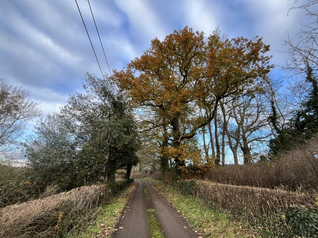
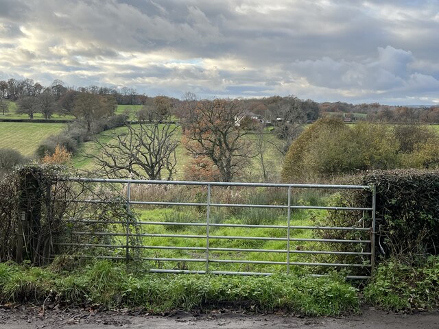
Old Hall Wood is a picturesque woodland located in Denbighshire, Wales. Covering an area of approximately 50 acres, it is known for its diverse range of tree species and stunning natural beauty. The wood is situated on a gentle slope, offering visitors breathtaking views of the surrounding countryside.

The woodland is predominantly composed of native broadleaf trees, including oak, beech, and birch, which create a rich and vibrant canopy during the spring and summer months. The forest floor is adorned with a variety of wildflowers, ferns, and mosses, adding to its enchanting atmosphere.

Old Hall Wood is a haven for wildlife, providing a home to numerous species of birds, mammals, and insects. Birdwatchers can spot a range of feathered residents, including woodpeckers, owls, and thrushes. The wood is also home to small mammals such as squirrels, badgers, and foxes, which can often be seen foraging or playing in the undergrowth.

The woodland offers visitors a network of well-maintained walking trails, enabling them to explore its beauty at their own pace. These paths wind through the trees, leading to open clearings and hidden glades, creating a sense of tranquility and escape from the outside world. There are also picnic areas and benches, providing visitors with the opportunity to relax and soak up the peaceful surroundings.

Old Hall Wood is a popular destination for nature lovers, hikers, and families seeking a day of outdoor adventure. Its natural beauty, diverse wildlife, and well-maintained trails make it a must-visit location in Denbighshire.

If you have any feedback on the listing, please let us know in the comments section below.

Old Hall Wood Images

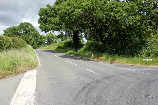
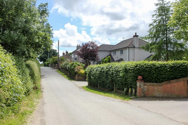
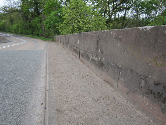
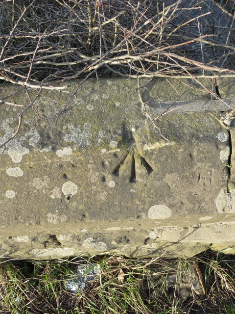
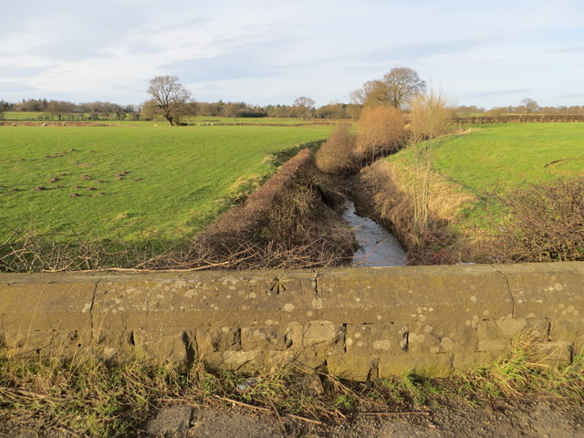
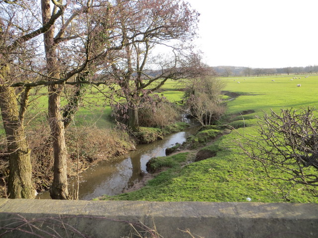
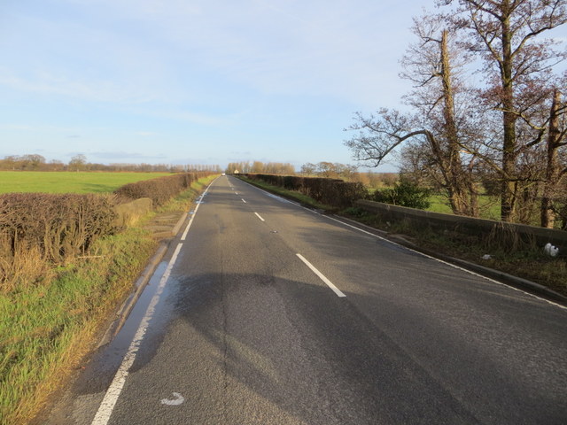
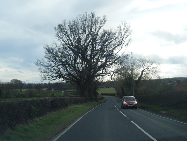
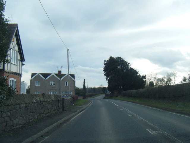
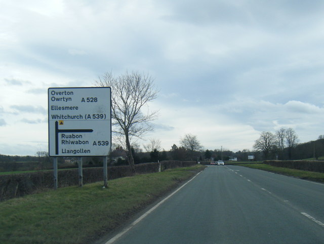
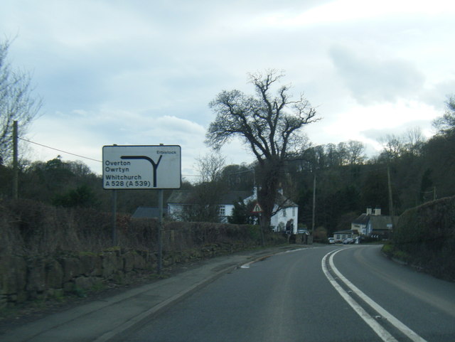
Images are sourced within 2km of 52.990351/-2.9743291 or Grid Reference SJ3444. Thanks to Geograph Open Source API. All images are credited.

The A528 (Overton Road) at Cock Bank Looking north along the A528 (Overton Road) at Cock Bank at the junction of Cockbank Lane and the B5130 (Pentre Nant Lane).
The A528 (Overton Road) at Cock Bank
Looking north along the A528 (Overton Road) at Cock Bank at the junction of Cockbank Lane and the B5130 (Pentre Nant Lane).
Lane near Woodlands Cottages Heading south towards the B5426.
Lane near Woodlands Cottages
Heading south towards the B5426.
Dead-end road above the River Dee
Gate with a view Though the River Dee, in the valley, is hidden from view.
Gate with a view
Though the River Dee, in the valley, is hidden from view.
Farm buildings at Eyton House
St Deiniol's Built in 1939, St Deiniol's, Eyton.
St Deiniol's
Built in 1939, St Deiniol's, Eyton.
Bench mark on Overton Bridge This bench mark is at the centre of the south west parapet of Overton Bridge. See also <a href="https://www.geograph.org.uk/photo/3455567">SJ3542 : Overton Bridge and a bench mark</a>
Bench mark on Overton Bridge
This bench mark is at the centre of the south west parapet of Overton Bridge. See also SJ3542 : Overton Bridge and a bench mark
Overton Bridge and a bench mark Looking along the south west parapet of Overton Bridge with a bench mark on the right. For a close up see <a href="https://www.geograph.org.uk/photo/3455562">SJ3542 : Bench mark on Overton Bridge</a>
Overton Bridge and a bench mark
Looking along the south west parapet of Overton Bridge with a bench mark on the right. For a close up see SJ3542 : Bench mark on Overton Bridge
Rivet bench mark on Whitehouse Bridge This rivet bench mark is on the north parapet of Whitehouse Bridge on the B5426 between Eyton and Bangor on Dee. The mark is recorded on the 1872 O.S. map. See also: <a href="https://www.geograph.org.uk/photo/3849568">SJ3645 : North of Whitehouse Bridge</a>
Rivet bench mark on Whitehouse Bridge
This rivet bench mark is on the north parapet of Whitehouse Bridge on the B5426 between Eyton and Bangor on Dee. The mark is recorded on the 1872 O.S. map. See also: SJ3645 : North of Whitehouse Bridge
North of Whitehouse Bridge Looking north from Whitehouse Bridge on the B5426.  The farmland here seems to be in good condition, whilst further east the farmland around Bangor on Dee is badly flooded after recent storms and heavy rain. There is an Ordnance Survey rivet bench mark on top of the parapet - <a href="https://www.geograph.org.uk/photo/3849544">SJ3645 : Rivet bench mark on Whitehouse Bridge</a>
North of Whitehouse Bridge
Looking north from Whitehouse Bridge on the B5426. The farmland here seems to be in good condition, whilst further east the farmland around Bangor on Dee is badly flooded after recent storms and heavy rain. There is an Ordnance Survey rivet bench mark on top of the parapet - SJ3645 : Rivet bench mark on Whitehouse Bridge
South of Whitehouse Bridge Looking south from Whitehouse Bridge on the B5426 between Eyton and Bangor on Dee. Although this land appears to be in good condition, a short distance east the lower lying land around Bangor on Dee is badly flooded.
South of Whitehouse Bridge
Looking south from Whitehouse Bridge on the B5426 between Eyton and Bangor on Dee. Although this land appears to be in good condition, a short distance east the lower lying land around Bangor on Dee is badly flooded.
The B5426 across Whitehouse Bridge Looking east along the B5426, and across Whitehouse Bridge, towards Bangor on Dee.
The B5426 across Whitehouse Bridge
Looking east along the B5426, and across Whitehouse Bridge, towards Bangor on Dee.
Overton Road south of Cock Bank
A528 near Manor Farm
A528 nearing the A539 junction
A528 at Overton Bridge
B5426 near Whitehouse Bridge
Show me another place!

Old Hall Wood is located at Grid Ref: SJ3444 (Lat: 52.990351, Lng: -2.9743291)

Unitary Authority: Wrexham

Police Authority: North Wales

What 3 Words

///leaky.along.hers. Near Marchwiel, Wrexham

Nearby Locations

Old Hall Wood Sall's Wood

Related Wikis

Wrexham Maelor

Wrexham Maelor (Welsh: Wrecsam Maelor) was a local government district with borough status, being one of six districts in the county of Clwyd, north-east...

Erbistock

Erbistock (Welsh: Erbistog) is a village and community in Wrexham County Borough, Wales. The village lies on the banks of the River Dee. The community...

Bangor-on-Dee racecourse

Bangor-on-Dee Racecourse (Welsh: Cae Rasio Bangor-is-y-coed) is a thoroughbred horse racing venue located in Bangor-on-Dee near Wrexham, Wales, United...

Pen-y-Lan Hall

Pen-y-Lan Hall is a Grade II-listed Tudor-Gothic Revival country house located near the village of Ruabon in Wrexham County Borough, Wales. The building...

Nearby Amenities

Located within 500m of 52.990351,-2.9743291
The data included in this document is from www.openstreetmap.org. The data is made available under ODbL.

Have you been to Old Hall Wood?

Leave your review of Old Hall Wood below (or comments, questions and feedback).