Long Wood
Wood, Forest in Denbighshire
Wales
Long Wood
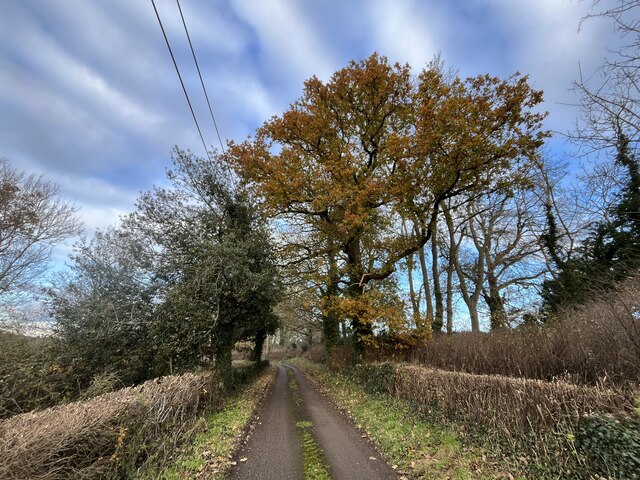
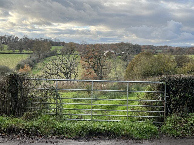
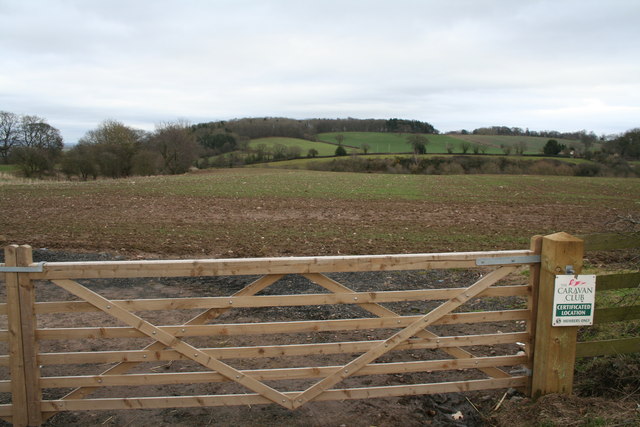
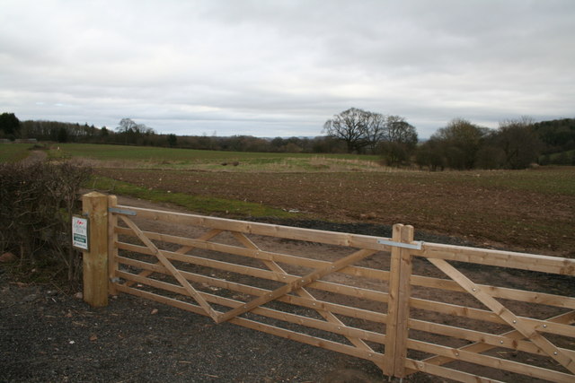
Long Wood is a picturesque forest located in Denbighshire, a county in north-east Wales, United Kingdom. Spanning approximately 110 hectares, this enchanting woodland is a haven for nature lovers and offers a diverse range of flora and fauna to explore.
The wood is characterized by its dense canopy of towering trees, predominantly consisting of native species such as oak, beech, and birch. The forest floor is covered in a lush carpet of ferns, mosses, and wildflowers, creating a beautifully serene atmosphere. The combination of sunlight filtering through the leaves and the gentle rustling of leaves underfoot creates a tranquil and immersive experience for visitors.
Long Wood is home to a wide variety of wildlife, making it a popular destination for birdwatchers and nature enthusiasts. Visitors may be lucky enough to spot species such as buzzards, woodpeckers, and owls, as well as small mammals like squirrels, hedgehogs, and foxes. The forest also provides an excellent habitat for a range of insects, including butterflies and beetles, adding to its ecological diversity.
The wood offers a network of well-maintained trails and paths, making it accessible for walkers, hikers, and cyclists of all abilities. There are also designated picnic areas and benches scattered throughout the forest, providing the perfect opportunity to relax and enjoy the peaceful surroundings.
Long Wood is a true gem in Denbighshire, offering visitors a chance to immerse themselves in the beauty of nature and escape the hustle and bustle of everyday life. Whether it's a leisurely stroll, wildlife spotting, or simply seeking solace in nature, this woodland has something to offer everyone.
If you have any feedback on the listing, please let us know in the comments section below.
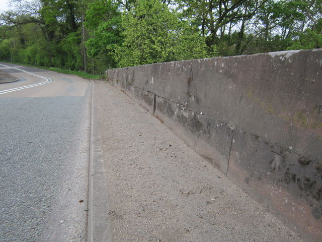
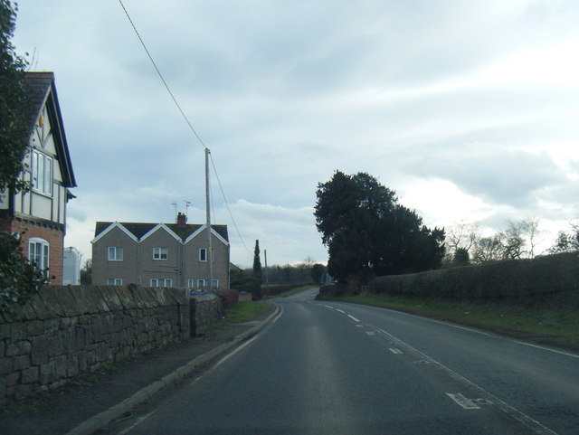
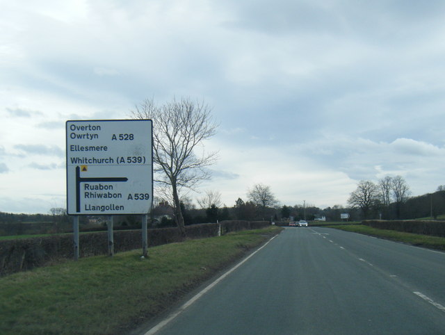
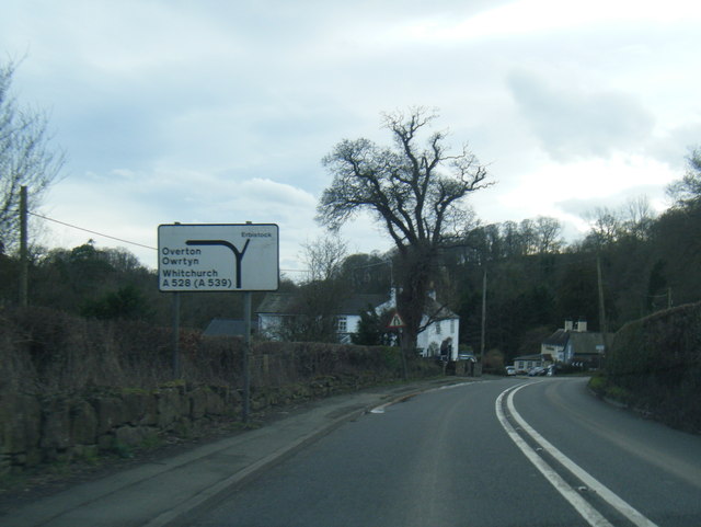
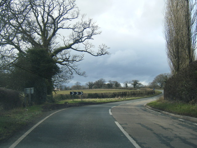
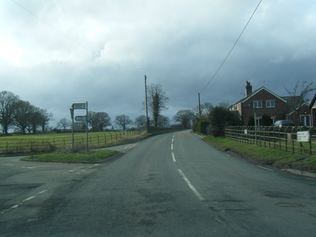
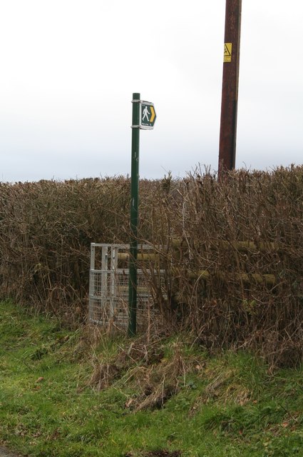
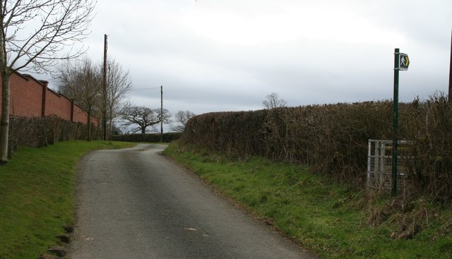
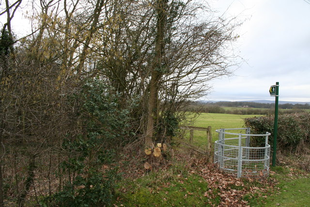
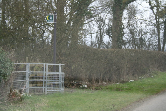
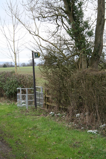
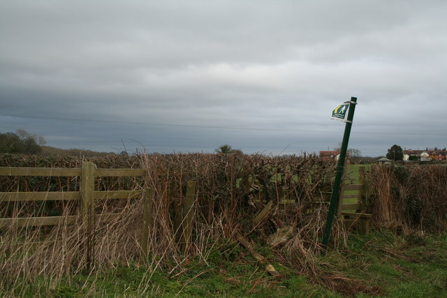
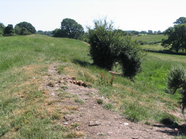
Long Wood Images
Images are sourced within 2km of 52.983838/-2.9835965 or Grid Reference SJ3443. Thanks to Geograph Open Source API. All images are credited.
Long Wood is located at Grid Ref: SJ3443 (Lat: 52.983838, Lng: -2.9835965)
Unitary Authority: Wrexham
Police Authority: North Wales
What 3 Words
///quilting.guidebook.handover. Near Ruabon, Wrexham
Nearby Locations
Related Wikis

Wrexham Maelor
Wrexham Maelor (Welsh: Wrecsam Maelor) was a local government district with borough status, being one of six districts in the county of Clwyd, north-east...

Erbistock
Erbistock (Welsh: Erbistog) is a village and community in Wrexham County Borough, Wales. The village lies on the banks of the River Dee. The community...

Pen-y-Lan Hall
Pen-y-Lan Hall is a Grade II-listed Tudor-Gothic Revival country house located near the village of Ruabon in Wrexham County Borough, Wales. The building...
Wat's Dyke
Wat's Dyke (Welsh: Clawdd Wat) is a 40-mile (64 km) linear earthwork running through the northern Welsh Marches from Basingwerk Abbey on the River Dee...
Related Videos

Motorhome Adventure with kids: Plassey, Wrexham Holiday Park
A wonderful weekend visiting Plassey Holiday park in Wrexham in our Motorhome. Plassey is a beautiful, well looked after site ...

Riverside Walk / Run - Erbistock on the River Dee near Wrexham
riverside #wrexham #virtualtour Todays route is beautiful, heading south of Wrexham we turn off the road to Overton down a little ...


Towards Better Golf—Day 56: Par 3 16th hole at Plassey Golf Club.
A definite 'risk and reward' hole. Out of bounds on left, water surrounding the green, and undulating green. #golftips #golf ...
Nearby Amenities
Located within 500m of 52.983838,-2.9835965Have you been to Long Wood?
Leave your review of Long Wood below (or comments, questions and feedback).