Coed y Gatlas

Wood, Forest in Monmouthshire

Wales

Coed y Gatlas

Caerleon : Track from Home Farm Green to Eleanor Hodson House A track crosses a 120-metre long field.
Caerleon : Track from Home Farm Green to Eleanor Hodson House Credit: Jaggery

Coed y Gatlas is a stunning woodland area located in Monmouthshire, Wales. Covering an area of approximately 400 acres, it is a picturesque forest that offers a tranquil escape from the hustle and bustle of city life.

The woodland is home to a diverse range of flora and fauna, making it a haven for nature enthusiasts. Ancient oak trees dominate the landscape, their gnarled branches reaching towards the sky. The forest floor is blanketed with a rich layer of moss, ferns, and wildflowers, creating a vibrant and colorful setting.

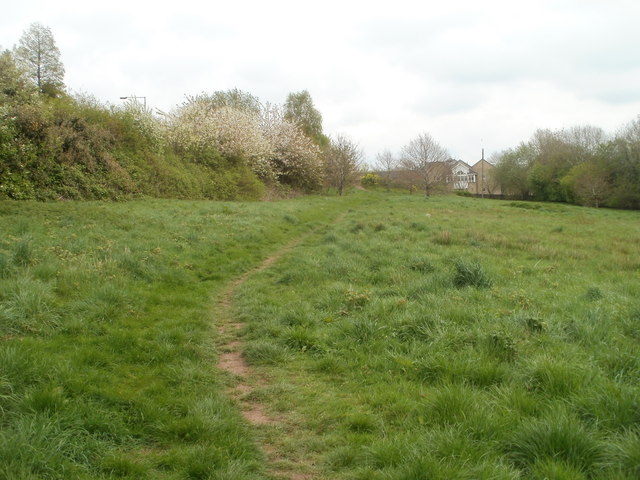
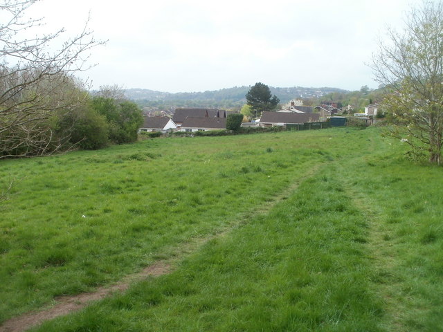
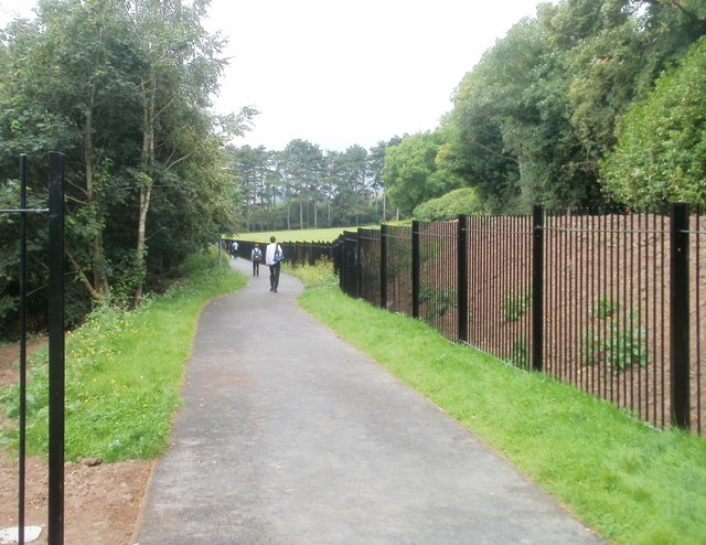
Coed y Gatlas boasts a network of well-maintained walking trails that wind through the forest, allowing visitors to explore its hidden treasures. These paths cater to various skill levels, from leisurely strolls to more challenging hikes, ensuring there is something for everyone.

Wildlife thrives in this woodland haven, with sightings of deer, foxes, and a variety of bird species being common. The tranquil atmosphere and abundance of natural resources make Coed y Gatlas an ideal habitat for these creatures to thrive.

The forest also holds historical significance, with remnants of ancient settlements and burial mounds scattered throughout the area. This adds an extra layer of intrigue and excitement for history enthusiasts and archeology buffs.

Overall, Coed y Gatlas in Monmouthshire is a captivating woodland paradise that offers visitors an opportunity to immerse themselves in nature's beauty. Whether it's a leisurely walk, wildlife spotting, or exploring the area's historical significance, this forest has something to offer for everyone.

If you have any feedback on the listing, please let us know in the comments section below.

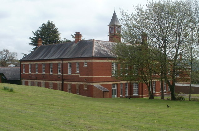
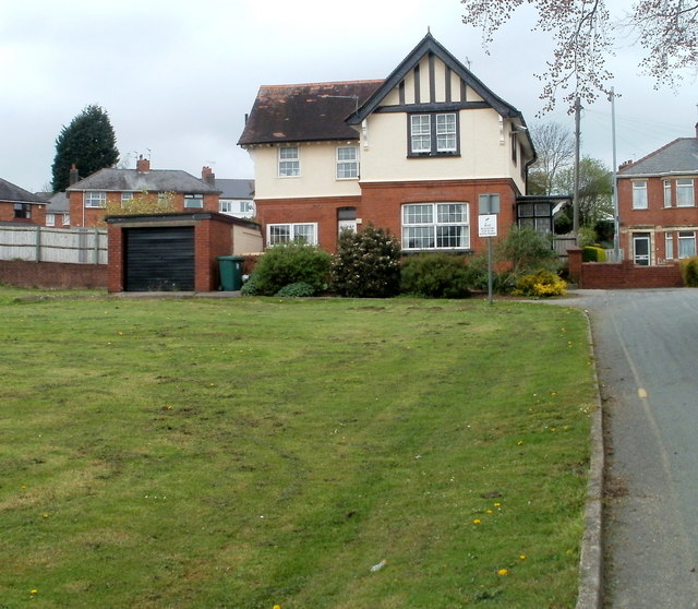
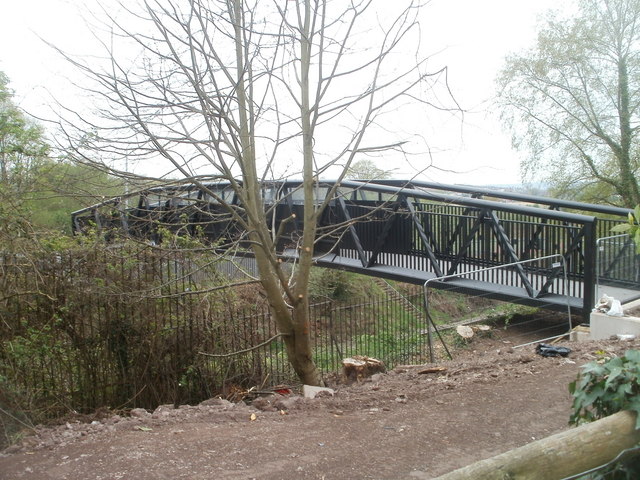
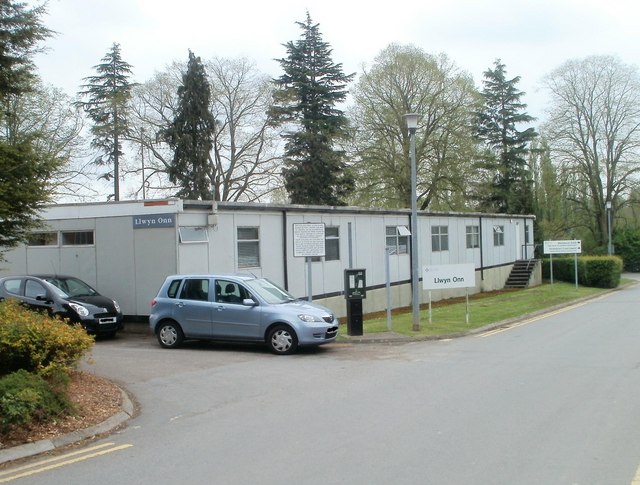
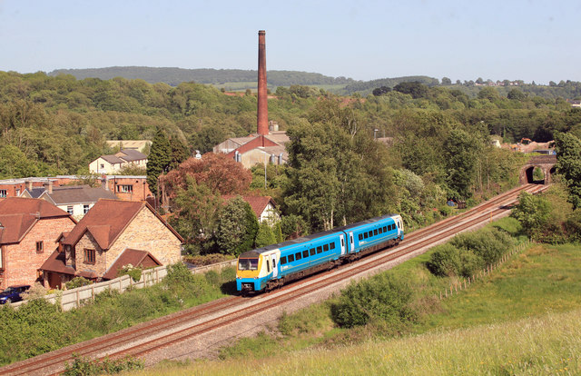
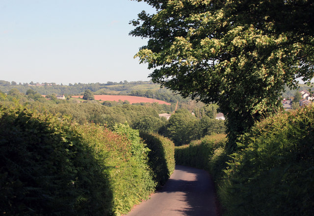
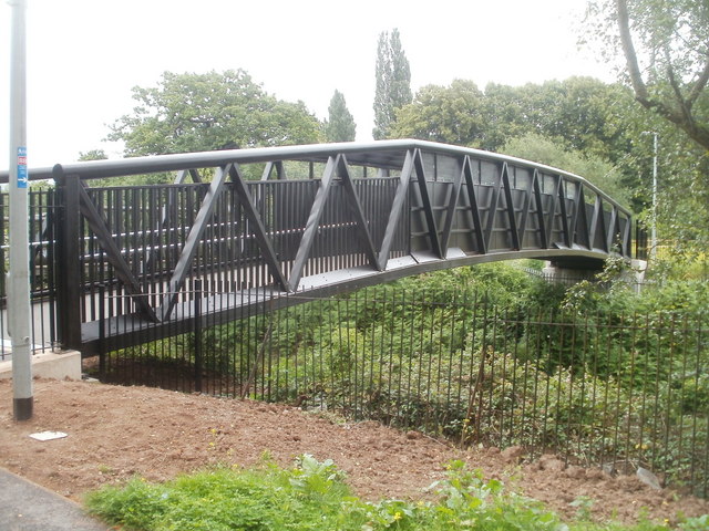
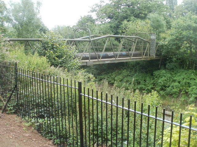
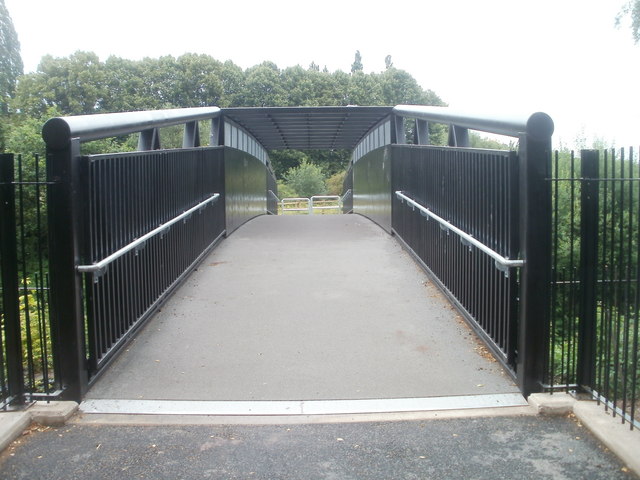
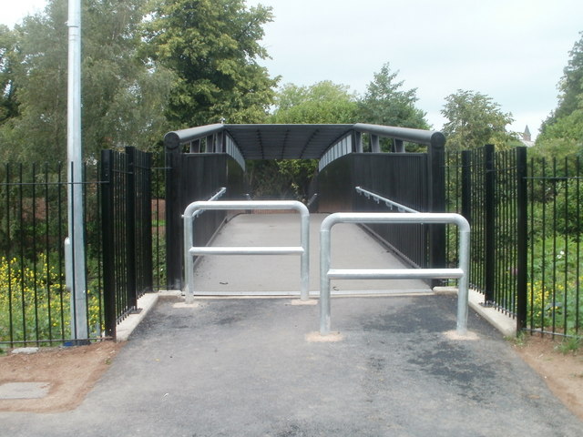
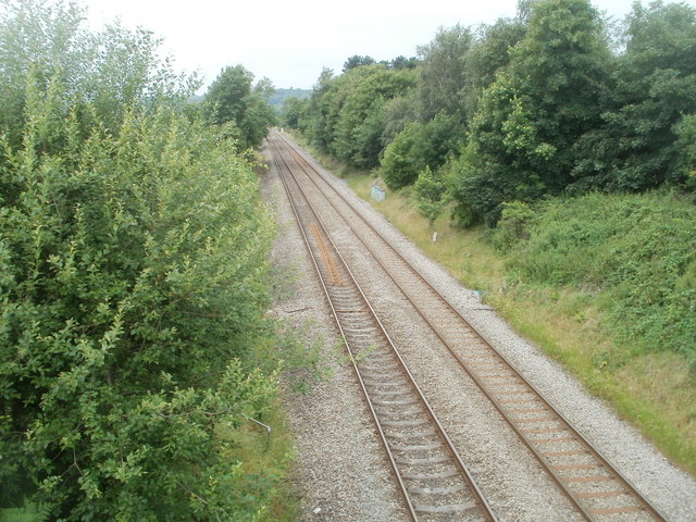
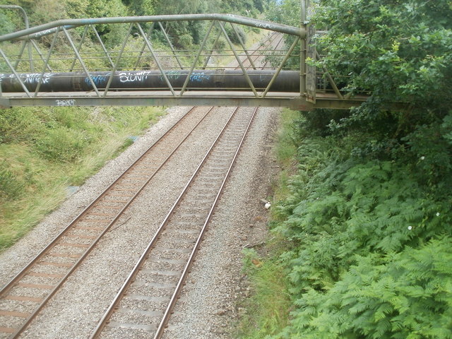
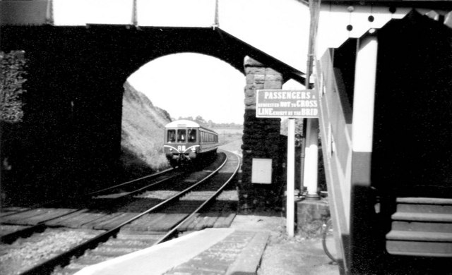
Coed y Gatlas Images

Images are sourced within 2km of 51.626273/-2.9541999 or Grid Reference ST3492. Thanks to Geograph Open Source API. All images are credited.

Caerleon : Track from Home Farm Green to Eleanor Hodson House A track crosses a 120-metre long field.
Caerleon : Track from Home Farm Green to Eleanor Hodson House
A track crosses a 120-metre long field.
Track to Home Farm Green, Caerleon Viewed from the edge of Eleanor Hodson House. A track crosses a 120-metre long field towards houses in Home Farm Green.
Track to Home Farm Green, Caerleon
Viewed from the edge of Eleanor Hodson House. A track crosses a 120-metre long field towards houses in Home Farm Green.
Eleanor Hodson Care Home, Caerleon Privately-owned care home for 32 residents, located on the south side of Lodge Road, near the western edge of Caerleon.
Eleanor Hodson Care Home, Caerleon
Privately-owned care home for 32 residents, located on the south side of Lodge Road, near the western edge of Caerleon.
Western side of St Cadoc's Hospital, Caerleon Viewed from near the Lodge Road end of entrance 4.
The hospital opened in 1906 as the Newport Borough Asylum, built to accommodate up to 350 patients. Extensive outbuildings were later added. 
Now designated a mental health hospital, its resident patients are few. Various mental health day services are provided.
Western side of St Cadoc's Hospital, Caerleon
Viewed from near the Lodge Road end of entrance 4. The hospital opened in 1906 as the Newport Borough Asylum, built to accommodate up to 350 patients. Extensive outbuildings were later added. Now designated a mental health hospital, its resident patients are few. Various mental health day services are provided.
St Cadoc's Hospital building, Caerleon A building on the western side of the hospital <a title="https://www.geograph.org.uk/photo/2357098" href="https://www.geograph.org.uk/photo/2357098">Link</a> viewed from the edge of entrance 4.
St Cadoc's Hospital building, Caerleon
A building on the western side of the hospital Link viewed from the edge of entrance 4.
North Lodge, Lodge Road, Caerleon Viewed from the hospital side. Located at entrance 3 to St Cadoc's Hospital, this house was formerly the hospital's north lodge.
North Lodge, Lodge Road, Caerleon
Viewed from the hospital side. Located at entrance 3 to St Cadoc's Hospital, this house was formerly the hospital's north lodge.
South side of St Cadoc's Hospital, Caerleon The hospital opened in 1906 as the Newport Borough Asylum, built to accommodate up to 350 patients. Extensive outbuildings were later added. Now designated a mental health hospital, its resident patients are few. Various mental health day services are provided.
South side of St Cadoc's Hospital, Caerleon
The hospital opened in 1906 as the Newport Borough Asylum, built to accommodate up to 350 patients. Extensive outbuildings were later added. Now designated a mental health hospital, its resident patients are few. Various mental health day services are provided.
Footbridge over the railway, St Cadoc's Hospital, Caerleon A footbridge at the southern edge of the hospital <a title="https://www.geograph.org.uk/photo/2357119" href="https://www.geograph.org.uk/photo/2357119">Link</a> crosses the Welsh Marches railway lines.
Footbridge over the railway, St Cadoc's Hospital, Caerleon
A footbridge at the southern edge of the hospital Link crosses the Welsh Marches railway lines.
Llwyn Onn, St Cadoc's Hospital, Caerleon Child and Family Psychology Department building located in the SE corner of the grounds of St Cadoc's Hospital. <a title="https://www.geograph.org.uk/photo/2357119" href="https://www.geograph.org.uk/photo/2357119">Link</a>
Llwyn Onn, St Cadoc's Hospital, Caerleon
Child and Family Psychology Department building located in the SE corner of the grounds of St Cadoc's Hospital. Link
Passing train at Ponthir This train is heading towards Newport , the next stop , having travelled down the Marches line via Hereford.It is about to pass under the road bridge at Ponthir. The brick chimney stands out in this view.
Passing train at Ponthir
This train is heading towards Newport , the next stop , having travelled down the Marches line via Hereford.It is about to pass under the road bridge at Ponthir. The brick chimney stands out in this view.
Looking down Malthouse lane Looking down the Lane during a late May afternoon.
Looking down Malthouse lane
Looking down the Lane during a late May afternoon.
New footbridge, Caerleon As part of the extension <a title="https://www.geograph.org.uk/photo/2494687" href="https://www.geograph.org.uk/photo/2494687">Link</a> of National Cycle Network route 88 in Caerleon from Home Farm Crescent to Caerleon Comprehensive School, this footbridge was built to carry the route over the Welsh Marches railway lines. The steel bridge, weighing 23 tonnes and 29 metres long, was manufactured by Newport company Rowecord Engineering. <a title="https://www.geograph.org.uk/photo/1964853" href="https://www.geograph.org.uk/photo/1964853">Link</a>
New footbridge, Caerleon
As part of the extension Link of National Cycle Network route 88 in Caerleon from Home Farm Crescent to Caerleon Comprehensive School, this footbridge was built to carry the route over the Welsh Marches railway lines. The steel bridge, weighing 23 tonnes and 29 metres long, was manufactured by Newport company Rowecord Engineering. Link
Pipe bridge, Caerleon Located a few metres from a new footbridge, <a title="https://www.geograph.org.uk/photo/2494774" href="https://www.geograph.org.uk/photo/2494774">Link</a> the pipe bridge crosses the Welsh Marches railway line. Its tubular design is similar to this footbridge <a title="https://www.geograph.org.uk/photo/1865483" href="https://www.geograph.org.uk/photo/1865483">Link</a> in Rogerstone.
Pipe bridge, Caerleon
Located a few metres from a new footbridge, Link the pipe bridge crosses the Welsh Marches railway line. Its tubular design is similar to this footbridge Link in Rogerstone.
Footbridge across the railway, Caerleon The view south across a new footbridge, <a title="https://www.geograph.org.uk/photo/2494774" href="https://www.geograph.org.uk/photo/2494774">Link</a> built as part of the 2011 Caerleon extension to National Cycle Network Route 88.
Footbridge across the railway, Caerleon
The view south across a new footbridge, Link built as part of the 2011 Caerleon extension to National Cycle Network Route 88.
Footbridge across the Welsh Marches railway lines, Caerleon The view north across the newly-opened (June 2011) footbridge, <a title="https://www.geograph.org.uk/photo/2494774" href="https://www.geograph.org.uk/photo/2494774">Link</a> part of the Caerleon extension to National Cycle Network route 88.
Footbridge across the Welsh Marches railway lines, Caerleon
The view north across the newly-opened (June 2011) footbridge, Link part of the Caerleon extension to National Cycle Network route 88.
Walking home from school, Caerleon The opening in June 2011 of the Caerleon extension to National Cycle Network route 88 (combined cycleway and footpath) gives pupils at Caerleon Comprehensive School a pleasant, traffic-free route to and from houses in the Home Farm area. Viewed from the edge of the footbridge <a title="https://www.geograph.org.uk/photo/2494774" href="https://www.geograph.org.uk/photo/2494774">Link</a> across the Welsh Marches railway.
Walking home from school, Caerleon
The opening in June 2011 of the Caerleon extension to National Cycle Network route 88 (combined cycleway and footpath) gives pupils at Caerleon Comprehensive School a pleasant, traffic-free route to and from houses in the Home Farm area. Viewed from the edge of the footbridge Link across the Welsh Marches railway.
Welsh Marches railway lines, Caerleon Looking in the direction of Newport from the footbridge <a title="https://www.geograph.org.uk/photo/2494774" href="https://www.geograph.org.uk/photo/2494774">Link</a> carrying National Cycle Network route 88 across the tracks.
Welsh Marches railway lines, Caerleon
Looking in the direction of Newport from the footbridge Link carrying National Cycle Network route 88 across the tracks.
Pipe bridge and railway lines, Caerleon A pipe bridge crosses the Welsh Marches railway lines. Viewed from the footbridge <a title="https://www.geograph.org.uk/photo/2494774" href="https://www.geograph.org.uk/photo/2494774">Link</a> carrying National Cycle Network route 88 across the tracks.
Pipe bridge and railway lines, Caerleon
A pipe bridge crosses the Welsh Marches railway lines. Viewed from the footbridge Link carrying National Cycle Network route 88 across the tracks.
Show me another place!

Coed y Gatlas is located at Grid Ref: ST3492 (Lat: 51.626273, Lng: -2.9541999)

Unitary Authority: Newport

Police Authority: Gwent

What 3 Words

///alpha.possibly.fell. Near Ponthir, Torfaen

Nearby Locations

Coed y Gatlas Gatlas Garth

Related Wikis

Afon Lwyd

The Afon Lwyd or Afon Llwyd (English: 'grey river') is a 13-mile (21 km) long river in south-east Wales which flows from its source northwest of Blaenavon...

Caerleon

Caerleon (; Welsh: Caerllion) is a town and community in Newport, Wales. Situated on the River Usk, it lies 5 miles (8 km) northeast of Newport city centre...

Llanhennock

Llanhennock (Welsh: Llanhenwg) is a village and former community, now in the community of Llangybi, in Monmouthshire, south east Wales, United Kingdom...

Sôr Brook

The Sôr Brook is a right bank tributary of the River Usk running largely in Monmouthshire in south Wales, though the watercourse forms the boundary with...

Ponthir

Ponthir (Welsh: Pont-hir) is a village and community at the south-west of the county borough of Torfaen on the boundary of the counties of Monmouthshire...

Caerleon railway station

Caerleon railway station is a former station serving Caerleon on the east side of the city of Newport, UK and a proposed future station as part of the...
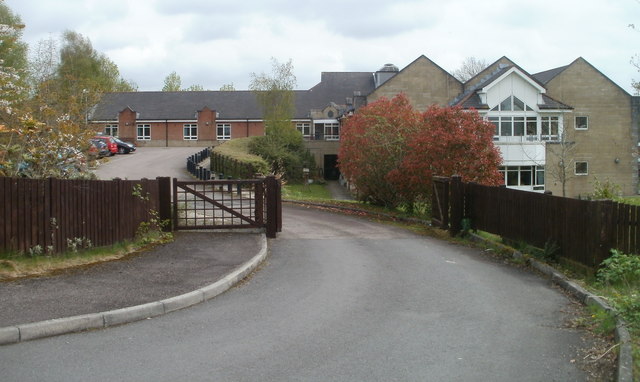
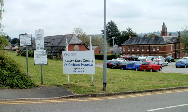
St Cadoc's Hospital

Saint Cadoc's Hospital (Welsh: Ysbyty Sant Cadog) is a mental health facility located in Caerleon on the northern outskirts of the city of Newport, Wales...

Ponthir railway station

Ponthir railway station was a railway station in the village of Ponthir in Torfaen, South Wales, UK. == History == The station was opened by the Pontypool...

Nearby Amenities

Located within 500m of 51.626273,-2.9541999
Power: tower
Lat/Long: 51.6304717/-2.9550164
Power: tower
Lat/Long: 51.6282127/-2.9522183
Power: tower
Lat/Long: 51.6262306/-2.9496777
Crossing
Lat/Long: 51.6282396/-2.9481504
Barrier: cattle_grid
Lat/Long: 51.6284872/-2.9481665
Barrier: cattle_grid
Lat/Long: 51.627602/-2.948868
Barrier: cattle_grid
Lat/Long: 51.627086/-2.9503027
Barrier: stile
Foot: designated
Material: wood
Stile: stepover
Lat/Long: 51.6285351/-2.9480884
Barrier: cattle_grid
Lat/Long: 51.6267059/-2.9515138
Barrier: stile
Foot: designated
Material: wood
Stile: stepover
Lat/Long: 51.6284273/-2.9521221
Barrier: stile
Foot: yes
Material: wood
Stile: stepover
Lat/Long: 51.6227808/-2.9506784
Barrier: stile
Foot: designated
Material: wood
Stile: stepover
Lat/Long: 51.6243891/-2.950784
Barrier: swing_gate
Foot: yes
Locked: no
Material: wood
Lat/Long: 51.6266544/-2.9515203
Barrier: stile
Foot: designated
Material: wood
Stile: stepover
Lat/Long: 51.6259013/-2.951626
Barrier: stile
Foot: designated
Material: wood
Stile: stepover
Lat/Long: 51.624538/-2.9508477
Barrier: stile
Foot: designated
Material: wood
Stile: stepover
Lat/Long: 51.6274762/-2.9487775
Barrier: swing_gate
Foot: designated
Locked: no
Material: wood
Lat/Long: 51.6263316/-2.9499712
Crossing
Lat/Long: 51.6276995/-2.9484693
Barrier: stile
Foot: designated
Material: wood
Stile: stepover
Lat/Long: 51.6283452/-2.9527207
Barrier: stile
Foot: designated
Stile: stepover
Lat/Long: 51.626643/-2.9565289
Barrier: stile
Foot: designated
Material: wood
Stile: stepover
Lat/Long: 51.6266883/-2.9585599
Barrier: stile
Foot: designated
Material: wood
Stile: stepover
Lat/Long: 51.6257464/-2.9502465
The data included in this document is from www.openstreetmap.org. The data is made available under ODbL.

Have you been to Coed y Gatlas?

Leave your review of Coed y Gatlas below (or comments, questions and feedback).