Garth
Settlement in Monmouthshire
Wales
Garth
Garth is a picturesque village located in Monmouthshire, Wales. Situated on the eastern edge of the Brecon Beacons National Park, it is surrounded by stunning natural beauty, including rolling hills and lush green landscapes. The village is nestled within a valley, offering breathtaking views and a tranquil atmosphere.
With a population of around 1,000 residents, Garth maintains a close-knit community feel. The village is primarily residential, with a charming mix of traditional stone houses and more modern properties. Its idyllic setting and peaceful surroundings make it a desirable place to live for those seeking a slower pace of life.
Despite its small size, Garth has a few amenities to offer its residents. There is a local primary school, providing education for children in the area. Additionally, the village has a community hall that hosts various events and gatherings, fostering a sense of togetherness among the locals.
For outdoor enthusiasts, Garth is a paradise. The village is surrounded by numerous walking and hiking trails, allowing residents and visitors to explore the stunning Welsh countryside. The nearby Brecon Beacons offer opportunities for climbing, cycling, and other outdoor activities.
Although Garth may lack large-scale commercial facilities, it benefits from its proximity to nearby towns and cities. Monmouth, a historic market town, is just a short drive away, providing residents with access to a wider range of amenities, including shops, restaurants, and leisure activities.
In conclusion, Garth is a charming village in Monmouthshire, Wales, known for its natural beauty, close-knit community, and easy access to outdoor activities. It offers a peaceful and idyllic lifestyle for those seeking a retreat from the hustle and bustle of urban areas.
If you have any feedback on the listing, please let us know in the comments section below.
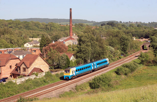
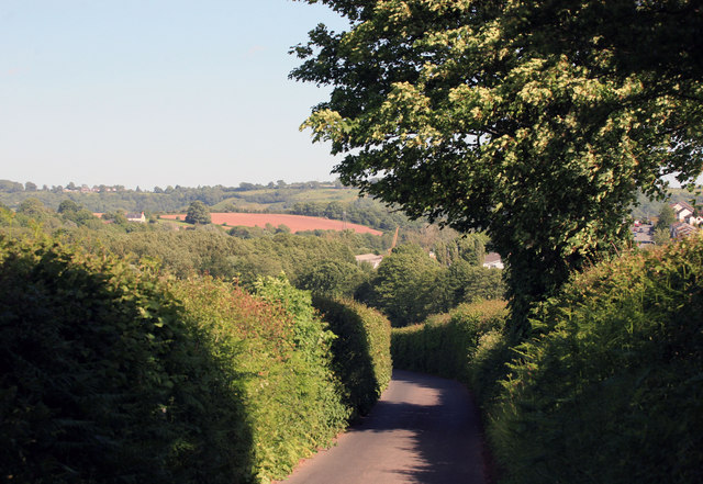
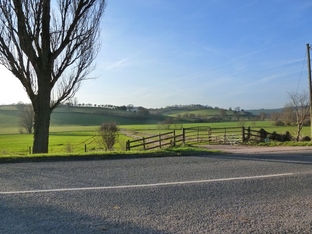
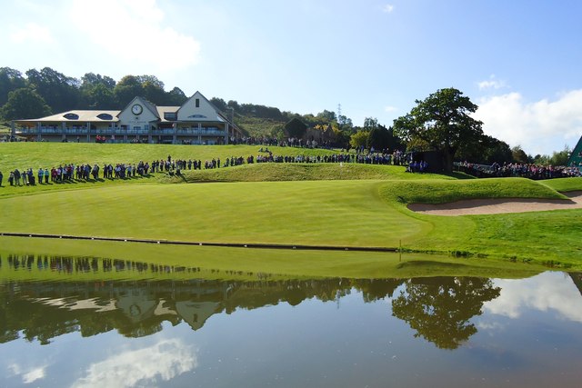
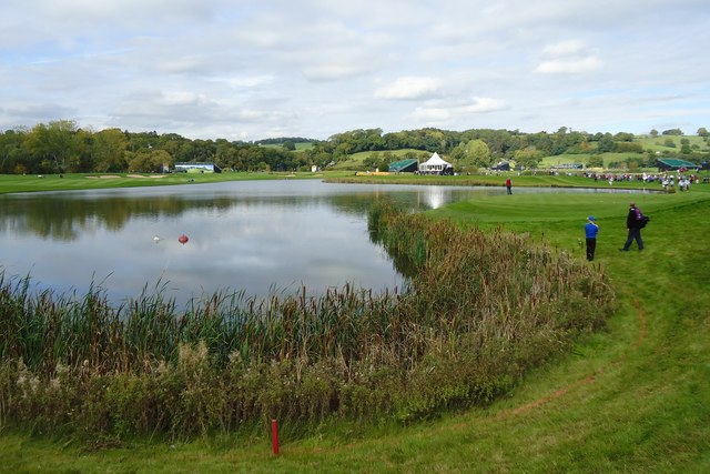
Garth Images
Images are sourced within 2km of 51.629257/-2.945413 or Grid Reference ST3492. Thanks to Geograph Open Source API. All images are credited.


Garth is located at Grid Ref: ST3492 (Lat: 51.629257, Lng: -2.945413)
Unitary Authority: Monmouthshire
Police Authority: Gwent
What 3 Words
///tightrope.observer.rocks. Near Ponthir, Torfaen
Nearby Locations
Related Wikis

Llanhennock
Llanhennock (Welsh: Llanhenwg) is a village and former community, now in the community of Llangybi, in Monmouthshire, south east Wales, United Kingdom...
Sôr Brook
The Sôr Brook is a right bank tributary of the River Usk running largely in Monmouthshire in south Wales, though the watercourse forms the boundary with...

Afon Lwyd
The Afon Lwyd or Afon Llwyd (English: 'grey river') is a 13-mile (21 km) long river in south-east Wales which flows from its source northwest of Blaenavon...

Glen Usk, Llanhennock
Glen Usk, Llanhennock, Monmouthshire is a country house dating from 1820. It was built for Sir Digby Mackworth, Bt. in the Neoclassical style. The house...

Caerleon
Caerleon (; Welsh: Caerllion) is a town and community in Newport, Wales. Situated on the River Usk, it lies 5 miles (8 km) northeast of Newport city centre...

Ponthir
Ponthir (Welsh: Pont-hir) is a village and community at the south-west of the county borough of Torfaen on the boundary of the counties of Monmouthshire...
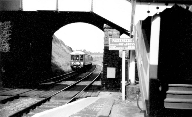
Caerleon railway station
Caerleon railway station is a former station serving Caerleon on the east side of the city of Newport, UK and a proposed future station as part of the...

St Cadoc's Hospital
Saint Cadoc's Hospital (Welsh: Ysbyty Sant Cadog) is a mental health facility located in Caerleon on the northern outskirts of the city of Newport, Wales...
Nearby Amenities
Located within 500m of 51.629257,-2.945413Have you been to Garth?
Leave your review of Garth below (or comments, questions and feedback).