Graigwith Wood

Wood, Forest in Monmouthshire

Wales

Graigwith Wood

Converted Baptist chapel near Llangibby This old Victorian chapel has been converted into a home.
Converted Baptist chapel near Llangibby Credit: Jeremy Bolwell

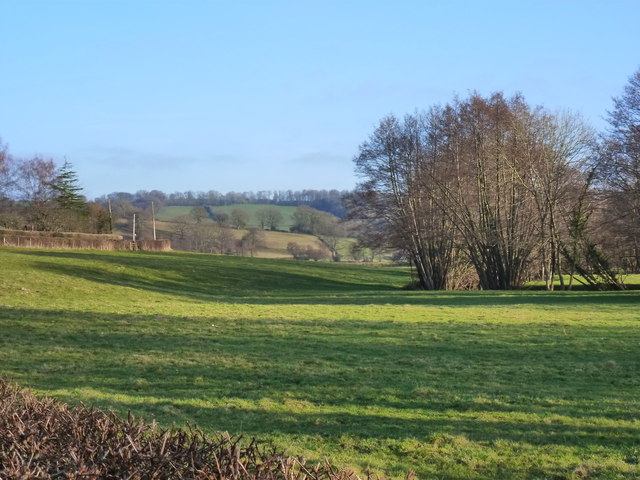
Graigwith Wood is a picturesque forest located in Monmouthshire, Wales. Situated near the village of Graigwith, the wood covers an area of approximately 100 acres and is a popular destination for nature enthusiasts and outdoor adventurers.

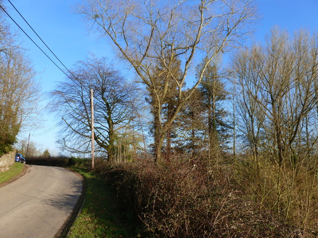
The wood is predominantly composed of broadleaf trees, including oak, beech, and ash, creating a diverse and vibrant ecosystem. This variety of trees provides an ideal habitat for a wide range of wildlife, including birds, mammals, and insects. Visitors may have the opportunity to spot species such as red kites, buzzards, and various songbirds, as well as foxes, badgers, and squirrels.

A network of well-maintained footpaths and trails enables visitors to explore the wood and admire its natural beauty. The paths wind through the forest, offering breathtaking views of the surrounding countryside and the nearby River Wye. This makes Graigwith Wood a popular spot for walking, hiking, and cycling.

In addition to its natural attractions, Graigwith Wood also has historical significance. The remains of an Iron Age hillfort can be found within the wood, providing an insight into the area's ancient past. Archaeological discoveries have revealed evidence of human activity dating back thousands of years.

Overall, Graigwith Wood is a captivating destination that combines natural beauty, wildlife, and a touch of history. Visitors can immerse themselves in the tranquil surroundings, enjoy the diverse flora and fauna, and experience the rich heritage of this enchanting woodland.

If you have any feedback on the listing, please let us know in the comments section below.

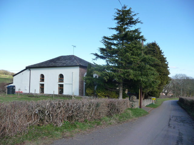
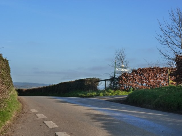
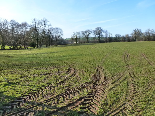
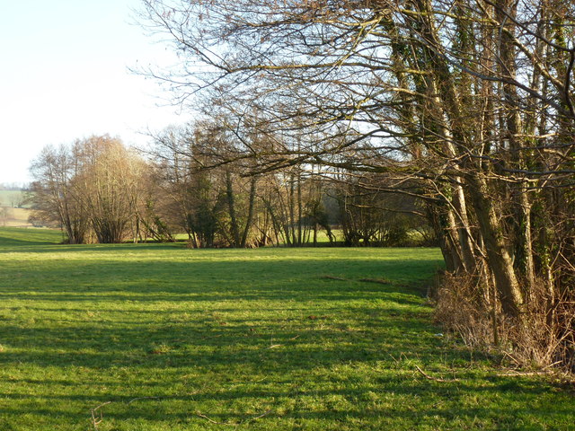
Graigwith Wood Images

Images are sourced within 2km of 51.660675/-2.9451927 or Grid Reference ST3496. Thanks to Geograph Open Source API. All images are credited.

Converted Baptist chapel near Llangibby This old Victorian chapel has been converted into a home.
Converted Baptist chapel near Llangibby
This old Victorian chapel has been converted into a home.
The road to Ty-Capten, Llandegveth
Field with - allegedly - a footpath But tractor tracks here are more prominent than those of walking boots!
Field with - allegedly - a footpath
But tractor tracks here are more prominent than those of walking boots!
The winding path of the Sor Brook traced by trees, near Llandegveth
The valley of the Sor Brook, from Tre-Herbert Road, near Llandegveth
The road near Llwyncelyn
Road to Llangybi nears the eastern edge of Coed-y-paen Though the main residential part of Coed-y-paen is a nearly a kilometre behind the camera,
the boundary marking the eastern edge of the village is ahead, beyond the tree.
Road to Llangybi nears the eastern edge of Coed-y-paen
Though the main residential part of Coed-y-paen is a nearly a kilometre behind the camera, the boundary marking the eastern edge of the village is ahead, beyond the tree.
Cefn Tilla Bungalow near Llanddewi Fach Viewed from Tre-herbert Road.
Cefn Tilla Bungalow near Llanddewi Fach
Viewed from Tre-herbert Road.
Faded road markings on Tre-herbert Road near Llanddewi Fach The SLOW and its Welsh equivalent ARAF are on the road surface 
at the approach to a Y-shaped junction about 80 metres ahead.
Faded road markings on Tre-herbert Road near Llanddewi Fach
The SLOW and its Welsh equivalent ARAF are on the road surface at the approach to a Y-shaped junction about 80 metres ahead.
Small grass triangle at a road junction near Llanddewi Fach Viewed from Tre-herbert Road. The narrow lane ahead heads south towards Ponthir and Caerleon.
Small grass triangle at a road junction near Llanddewi Fach
Viewed from Tre-herbert Road. The narrow lane ahead heads south towards Ponthir and Caerleon.
Lane to Sor Brook The lane heads north away from Tre-herbert Road. 
Sor Brook, a tributary of the River Usk, is about a kilometre ahead.
Lane to Sor Brook
The lane heads north away from Tre-herbert Road. Sor Brook, a tributary of the River Usk, is about a kilometre ahead.
Bends ahead on Tre-herbert Road near Llanddewi Fach Viewed from the corner of this lane. <a title="https://www.geograph.org.uk/photo/3377934" href="https://www.geograph.org.uk/photo/3377934">Link</a>
Bends ahead on Tre-herbert Road near Llanddewi Fach
Viewed from the corner of this lane. Link
Tre-herbert Road approaches the turning for Llanddewi Fach Viewed from the corner of this <a title="https://www.geograph.org.uk/photo/3377934" href="https://www.geograph.org.uk/photo/3377934">Link</a> lane.
The turning for Llanddewi Fach is ahead on the left.
Tre-herbert Road approaches the turning for Llanddewi Fach
Viewed from the corner of this Link lane. The turning for Llanddewi Fach is ahead on the left.
Farm buildings, Llanddewi Fach  The buildings are alongside the lane from Tre-herbert Road to Sor Brook.
Llanddewi Fach is sometimes spelt in the semi-Anglicised form Llanthewy Vach.
Farm buildings, Llanddewi Fach
The buildings are alongside the lane from Tre-herbert Road to Sor Brook. Llanddewi Fach is sometimes spelt in the semi-Anglicised form Llanthewy Vach.
Hilly farmland, Llanddewi Fach Viewed from a track near the lane from Tre-herbert Road to Sor Brook.
Hilly farmland, Llanddewi Fach
Viewed from a track near the lane from Tre-herbert Road to Sor Brook.
Fallen apples in a lane near Llanddewi Fach This early autumn view along the lane from  Tre-herbert Road to Sor Brook
shows dozens of apples slowing rotting on the lane.
Fallen apples in a lane near Llanddewi Fach
This early autumn view along the lane from Tre-herbert Road to Sor Brook shows dozens of apples slowing rotting on the lane.
Interested observers in a field alongside the lane from Tre-herbert Road to Sor Brook Cattle is a suitably gender-neutral word for these bovines in a field. 
I don't know whether they are all bulls (unlikely) or young cows (heifers) before their udders have developed.
Interested observers in a field alongside the lane from Tre-herbert Road to Sor Brook
Cattle is a suitably gender-neutral word for these bovines in a field. I don't know whether they are all bulls (unlikely) or young cows (heifers) before their udders have developed.
A mighty oak dominates the lane from Tre-herbert Road to Sor Brook This impressive tree shows up well on satellite images,
from which I estimate its crown to be 25 metres long and 
17 metres wide (across the lane). 
I don't know if such dimensions are typical for an oak 
(or whether there are two oaks side-by-side here).
A mighty oak dominates the lane from Tre-herbert Road to Sor Brook
This impressive tree shows up well on satellite images, from which I estimate its crown to be 25 metres long and 17 metres wide (across the lane). I don't know if such dimensions are typical for an oak (or whether there are two oaks side-by-side here).
Show me another place!

Graigwith Wood is located at Grid Ref: ST3496 (Lat: 51.660675, Lng: -2.9451927)

Unitary Authority: Monmouthshire

Police Authority: Gwent

What 3 Words

///robots.heightens.graver. Near Llangybi, Monmouthshire

Nearby Locations

Graigwith Wood Llangybi

Related Wikis

Llandegveth

Llandegveth (Welsh: Llandegfedd) is a village in Monmouthshire, south east Wales. == Location == Llandegveth is located between Cwmbran, in Torfaen, and...

Ton Farmhouse, Llangybi

Ton Farmhouse, Llangybi, Monmouthshire is a farmhouse dating from the early 17th century. John Newman, in his Monmouthshire Pevsner, describes it as a...

Berllan-deg, Llanhennock

Berllan-deg, Llanhennock, Monmouthshire is a country house dating from the mid-17th century. A rare survival of a remarkably unaltered hall house, Berllan...

Tregrug Castle

Tregrug Castle (Welsh: Castell Tregrug; Welsh pronunciation: [ˈkastɛɬ trɛˈɡriːɡ]) or Llangibby Castle is a ruin in Monmouthshire, Wales, located about...

New House Farm, Llangybi

New House Farm, Llangybi, Monmouthshire is a substantial farmhouse dating from c.1700. It has been little altered since the date of its construction. It...

Llangybi, Monmouthshire

Llangybi (also spelled Llangibby) is a village and community in Monmouthshire, in southeast Wales, in the United Kingdom. It is located 3 miles (4.8 km...

White Hart Inn, Llangybi

The White Hart Inn, Llangybi, Monmouthshire is a public house dating from the early 17th century. Located at a crossroads in the centre of the village...

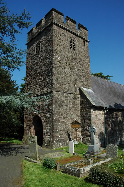
St Cybi's Church, Llangybi, Monmouthshire

The Church of St Cybi, Llangybi, Monmouthshire is a parish church with its origins in the 13th or 14th century. Refurbished in the 15th century, the church...

Have you been to Graigwith Wood?

Leave your review of Graigwith Wood below (or comments, questions and feedback).