Avenue Wood
Wood, Forest in Flintshire
Wales
Avenue Wood

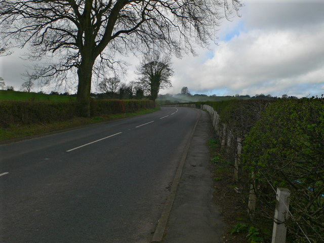
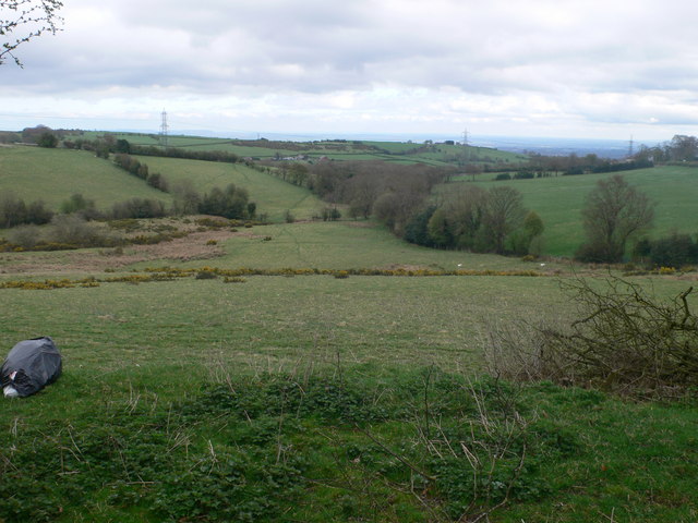
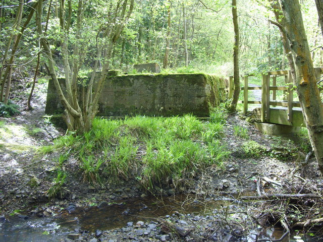
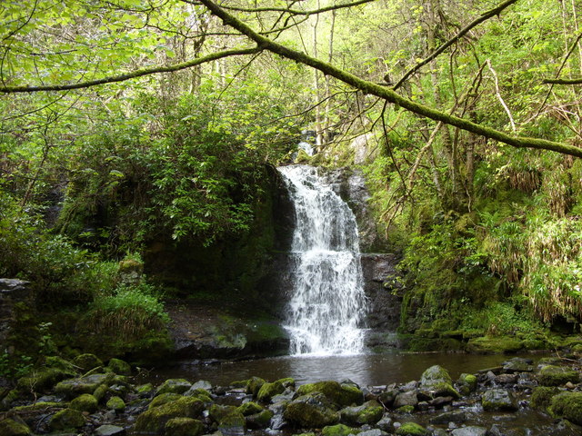
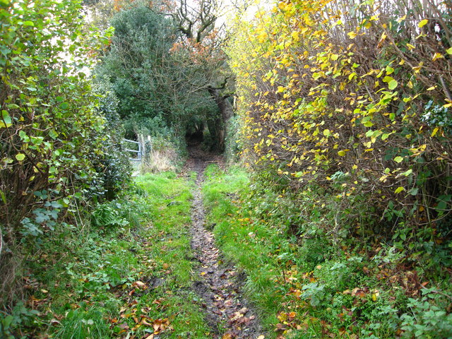
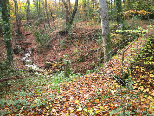
Avenue Wood, located in Flintshire, is a picturesque forested area known for its natural beauty and tranquil atmosphere. Spanning across a vast expanse of land, this wood offers a serene retreat for nature enthusiasts and those seeking solace amidst the lush greenery.
The wood boasts a diverse range of tree species, including oak, beech, and pine, which create a rich and vibrant tapestry of colors throughout the seasons. Walking through Avenue Wood, visitors are treated to a symphony of birdsong and the gentle rustling of leaves, making it an ideal spot for birdwatching and exploring wildlife.
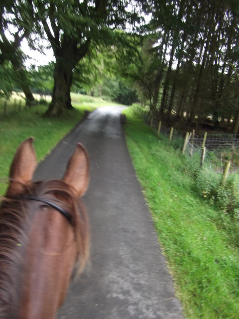
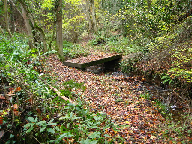
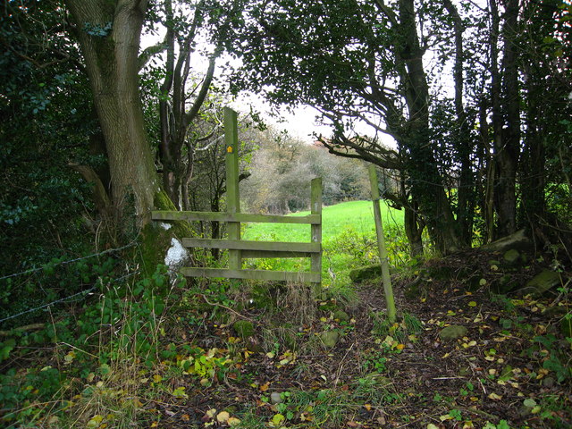
Trails and pathways meander through the wood, guiding visitors on leisurely strolls and providing ample opportunities for hiking and biking. These paths are well-maintained, ensuring a safe and enjoyable experience for all visitors. Along the way, one may encounter charming clearings and secluded spots, perfect for picnics or simply basking in the serenity of the surroundings.
Avenue Wood is also home to various animal species, such as deer, squirrels, and rabbits, providing a chance for wildlife enthusiasts to observe these creatures in their natural habitat. The wood is carefully managed to preserve its ecological balance, and efforts are made to protect the diverse flora and fauna that call it home.
For those interested in history, Avenue Wood holds significance as it has been a part of the local landscape for centuries. It has witnessed the passage of time and the changing seasons, serving as a living testament to the area's rich heritage.
In summary, Avenue Wood in Flintshire is a captivating forest that promises visitors a tranquil escape from the bustle of everyday life. Its breathtaking scenery, diverse wildlife, and well-maintained trails make it an ideal destination for nature lovers and those seeking a peaceful retreat.
If you have any feedback on the listing, please let us know in the comments section below.
Avenue Wood Images
Images are sourced within 2km of 53.080412/-3.1025255 or Grid Reference SJ2654. Thanks to Geograph Open Source API. All images are credited.


Avenue Wood is located at Grid Ref: SJ2654 (Lat: 53.080412, Lng: -3.1025255)
Unitary Authority: Flintshire
Police Authority: North Wales
What 3 Words
///water.quack.dote. Near Brymbo, Wrexham
Nearby Locations
Related Wikis
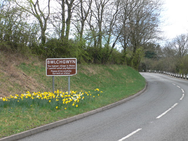
Bwlchgwyn
Bwlchgwyn (Welsh: Bwlch-gwyn) is a village in Wrexham County Borough, Wales, on the A525 road, 5 miles (8 km) west of the city of Wrexham and 10 miles...

Gwynfryn, Wrexham
Gwynfryn is a hill-top village in the community of Minera in Wrexham County Borough, Wales. Its name, originally that of the village chapel, is formed...

Pentresaeson Halt railway station
Pentresaeson Halt railway station was a station in Bwlchgwyn, Wrexham, Wales. The station was opened on 20 March 1905 and closed on 1 January 1931. �...

North East Wales
North East Wales (Welsh: Gogledd-Ddwyrain Cymru) is an area or region of Wales, commonly defined as a grouping of the principal areas of Denbighshire,...
North East Wales National Park
A national park has been proposed to replace the Clwydian Range and Dee Valley AONB in the north-east of Wales. Proposals for the then Clwydian Range AONB...
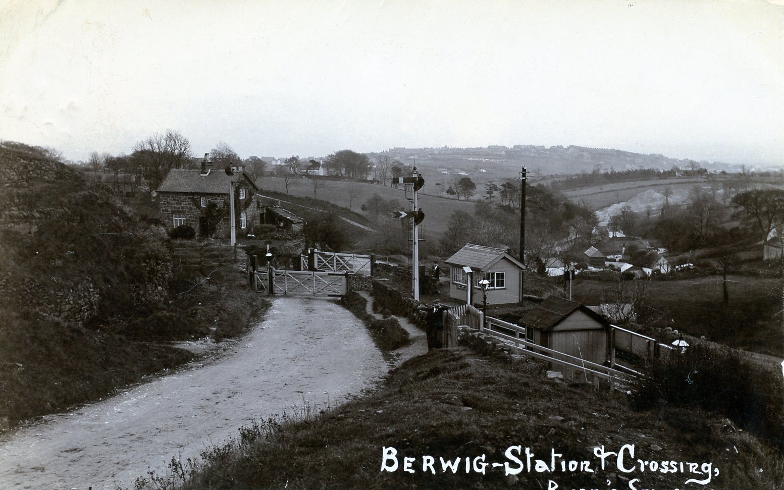
Berwig Halt railway station
Berwig Halt railway station was a station in Minera, Wrexham, Wales. The station was opened on 1 May 1905 and closed on 1 January 1931.The location of...

Ffrith railway station
Ffrith railway station was a station in Ffrith, Flintshire, Wales. The station was opened on 2 May 1898 and closed on 27 March 1950. == References... ==

Ogof Dydd Byraf
Ogof Dydd Byraf is a cave which extends under Esclusham Mountain in the north-east Wales from its entrance in the south face of the Minera Limeworks quarry...
Nearby Amenities
Located within 500m of 53.080412,-3.1025255Have you been to Avenue Wood?
Leave your review of Avenue Wood below (or comments, questions and feedback).