Pen-Llan-y-gŵr
Hill, Mountain in Flintshire
Wales
Pen-Llan-y-gŵr
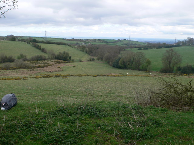
Pen-Llan-y-gŵr is a prominent hill located in Flintshire, Wales. Rising to an elevation of 284 meters (932 feet), it forms part of the Clwydian Range Area of Outstanding Natural Beauty. Pen-Llan-y-gŵr is situated about 6 kilometers northeast of the town of Mold and offers commanding views of the surrounding countryside.
The hill is characterized by its gently sloping sides and a distinctive conical shape. Its summit is marked by a trig point, providing a reference point for surveying purposes. The hill is mostly covered in grassland, with scattered patches of gorse and heather. During the summer months, the landscape is adorned with colorful wildflowers.
Pen-Llan-y-gŵr is a popular destination for walkers and hikers, offering a variety of well-marked trails to explore. The ascent to the summit is relatively easy, making it accessible to people of all fitness levels. From the top, visitors are rewarded with breathtaking panoramic views of the Clwydian Range, the Dee Estuary, and even as far as Snowdonia on a clear day.
The hill is also home to a diverse range of wildlife, with several species of birds, butterflies, and small mammals inhabiting its slopes. It is particularly known for its birdlife, attracting birdwatchers who come to spot species such as buzzards, kestrels, and peregrine falcons.
Overall, Pen-Llan-y-gŵr is a picturesque hill in Flintshire, offering outdoor enthusiasts the opportunity to enjoy stunning views, explore nature, and immerse themselves in the beauty of the Welsh countryside.
If you have any feedback on the listing, please let us know in the comments section below.
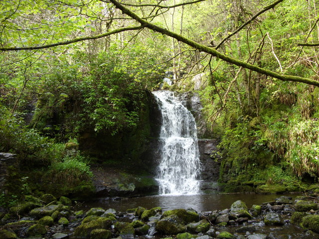
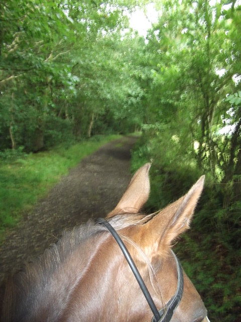
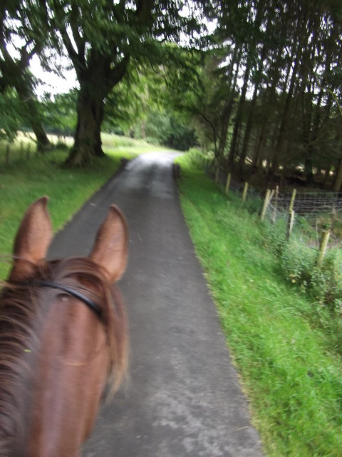
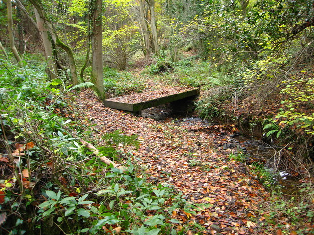
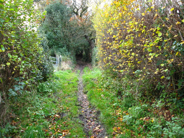
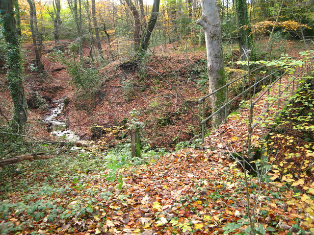
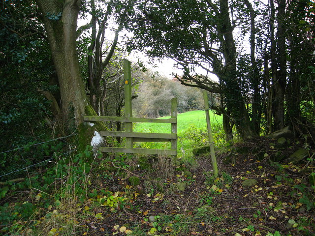
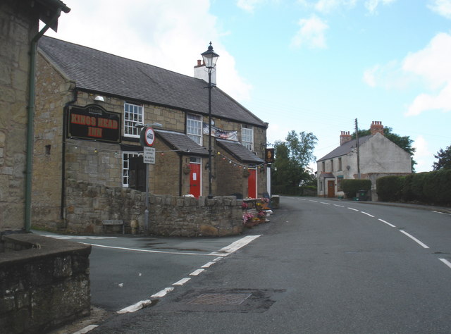
Pen-Llan-y-gŵr Images
Images are sourced within 2km of 53.083569/-3.0985004 or Grid Reference SJ2654. Thanks to Geograph Open Source API. All images are credited.


Pen-Llan-y-gŵr is located at Grid Ref: SJ2654 (Lat: 53.083569, Lng: -3.0985004)
Unitary Authority: Flintshire
Police Authority: North Wales
What 3 Words
///awaiting.instead.comedians. Near Brymbo, Wrexham
Nearby Locations
Related Wikis
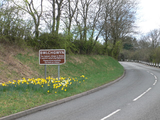
Bwlchgwyn
Bwlchgwyn (Welsh: Bwlch-gwyn) is a village in Wrexham County Borough, Wales, on the A525 road, 5 miles (8 km) west of the city of Wrexham and 10 miles...

North East Wales
North East Wales (Welsh: Gogledd-Ddwyrain Cymru) is an area or region of Wales, commonly defined as a grouping of the principal areas of Denbighshire,...

North East Wales National Park
A national park has been proposed to replace the Clwydian Range and Dee Valley AONB in the north-east of Wales. Proposals for the then Clwydian Range AONB...
Pentresaeson Halt railway station
Pentresaeson Halt railway station was a station in Bwlchgwyn, Wrexham, Wales. The station was opened on 20 March 1905 and closed on 1 January 1931. �...
Nearby Amenities
Located within 500m of 53.083569,-3.0985004Have you been to Pen-Llan-y-gŵr?
Leave your review of Pen-Llan-y-gŵr below (or comments, questions and feedback).