Darnau Wood
Wood, Forest in Denbighshire
Wales
Darnau Wood

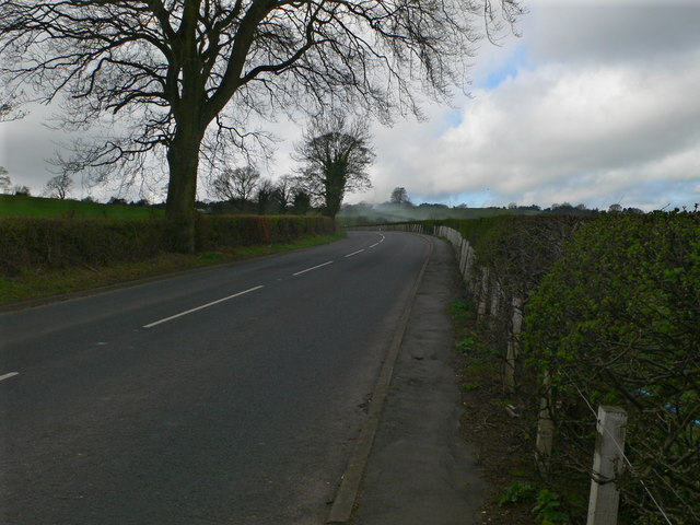
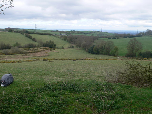
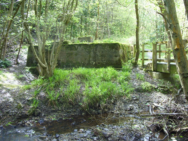
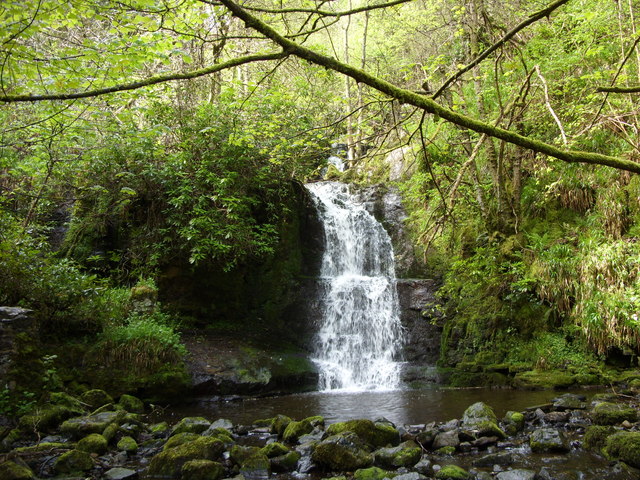
Darnau Wood is a picturesque forest located in Denbighshire, Wales. Covering an area of approximately 500 acres, it is a popular destination for nature enthusiasts, hikers, and birdwatchers. The wood is situated near the village of Llanelidan, offering visitors a tranquil and serene environment to explore.
Darnau Wood is predominantly composed of native broadleaf trees, including oak, ash, and beech, which provide a rich and diverse habitat for a variety of wildlife species. The forest floor is carpeted with bluebells during springtime, creating a stunning display of vibrant colors. Many rare and protected species of plants can also be found within the wood, making it an important site for conservation.
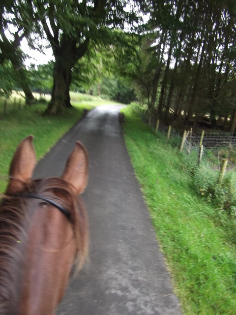
The woodland is crisscrossed by a network of well-maintained trails, allowing visitors to easily navigate through the forest. These paths offer breathtaking views of the surrounding countryside and provide opportunities to spot wildlife such as deer, foxes, and a wide range of bird species.
In addition to its natural beauty, Darnau Wood has historical significance. It is believed to have been part of the ancient hunting grounds of the medieval Welsh princes. The remnants of old boundary walls and earthworks can still be seen, adding to the forest's charm and intrigue.
Overall, Darnau Wood is a hidden gem in Denbighshire, offering a peaceful retreat for nature lovers and history enthusiasts alike. With its diverse ecosystem, scenic trails, and rich cultural heritage, it is a place worth exploring for anyone seeking an escape into the beauty of nature.
If you have any feedback on the listing, please let us know in the comments section below.
Darnau Wood Images
Images are sourced within 2km of 53.080407/-3.0923737 or Grid Reference SJ2654. Thanks to Geograph Open Source API. All images are credited.


Darnau Wood is located at Grid Ref: SJ2654 (Lat: 53.080407, Lng: -3.0923737)
Unitary Authority: Wrexham
Police Authority: North Wales
What 3 Words
///bleat.veered.wand. Near Brymbo, Wrexham
Nearby Locations
Related Wikis
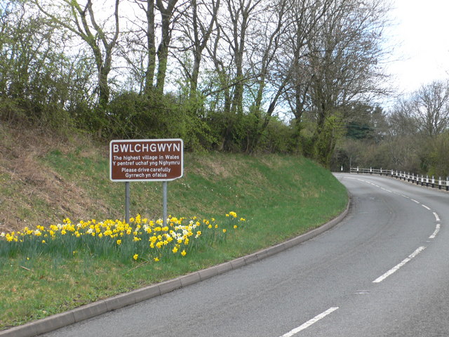
Bwlchgwyn
Bwlchgwyn (Welsh: Bwlch-gwyn) is a village in Wrexham County Borough, Wales, on the A525 road, 5 miles (8 km) west of the city of Wrexham and 10 miles...

Pentresaeson Halt railway station
Pentresaeson Halt railway station was a station in Bwlchgwyn, Wrexham, Wales. The station was opened on 20 March 1905 and closed on 1 January 1931. �...

Ffrith railway station
Ffrith railway station was a station in Ffrith, Flintshire, Wales. The station was opened on 2 May 1898 and closed on 27 March 1950. == References... ==

Gwynfryn, Wrexham
Gwynfryn is a hill-top village in the community of Minera in Wrexham County Borough, Wales. Its name, originally that of the village chapel, is formed...
Nearby Amenities
Located within 500m of 53.080407,-3.0923737Have you been to Darnau Wood?
Leave your review of Darnau Wood below (or comments, questions and feedback).