Black Wood
Wood, Forest in Flintshire
Wales
Black Wood
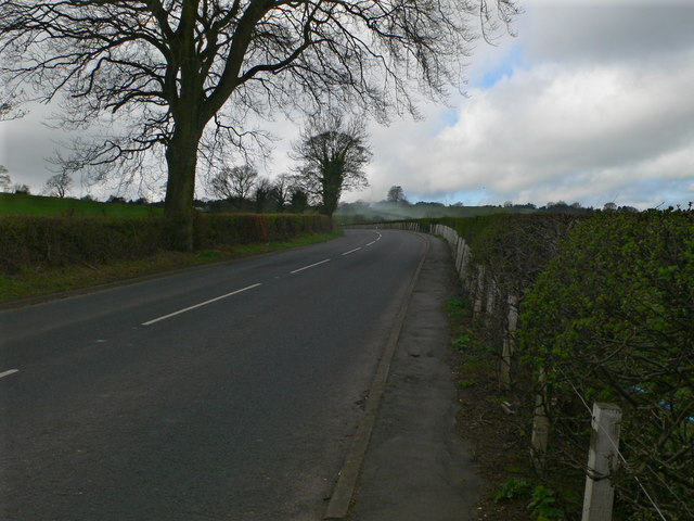
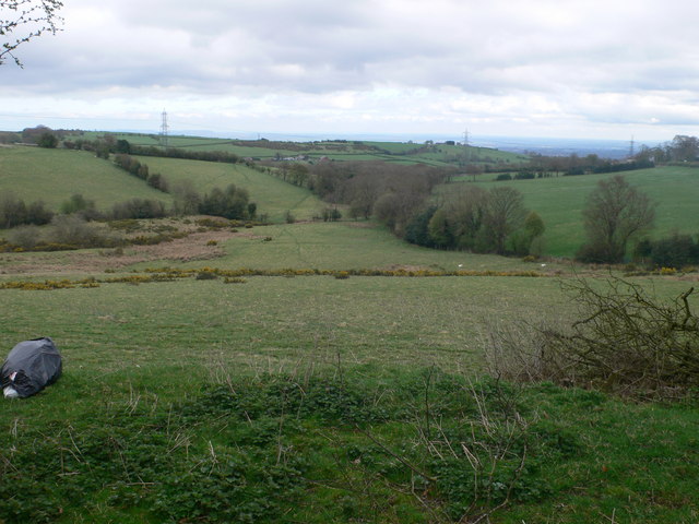
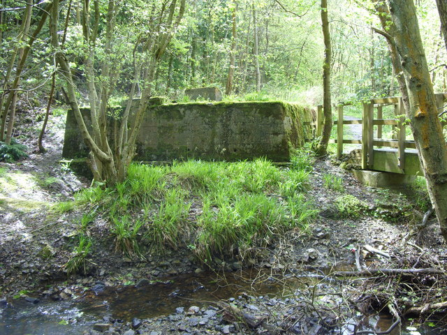
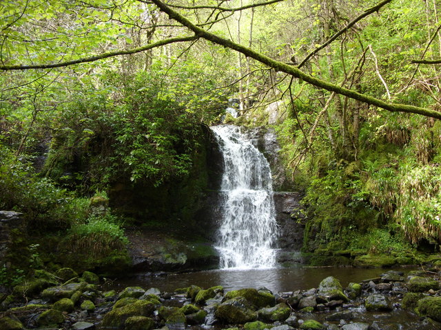
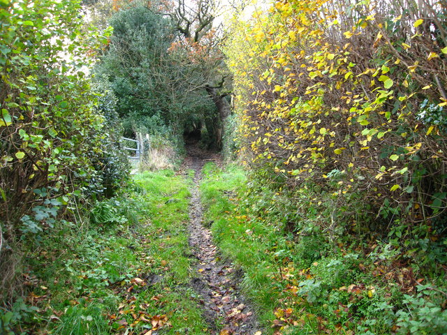
Black Wood is a dense forest located in Flintshire, Wales. Covering an area of approximately 500 acres, this ancient woodland is known for its rich biodiversity and unique ecosystem. The forest is predominantly composed of oak, beech, and birch trees, with a dense undergrowth of ferns, mosses, and wildflowers.
Black Wood is home to a variety of wildlife, including deer, foxes, badgers, and a wide array of bird species. The forest provides important habitat and shelter for these animals, as well as a source of food and resources.
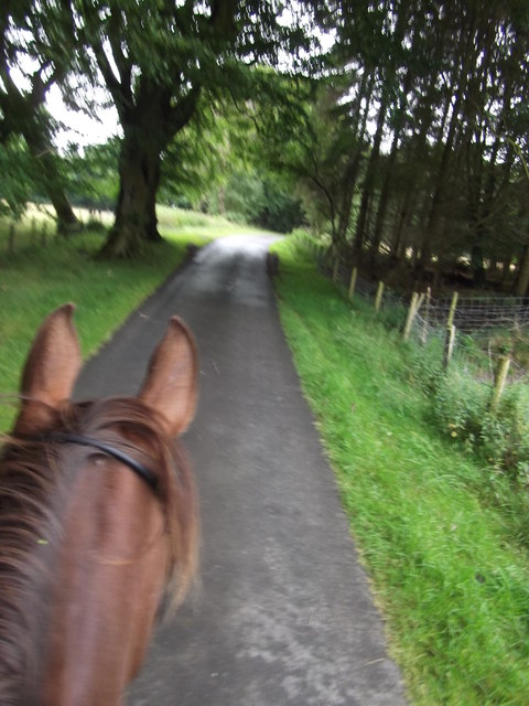
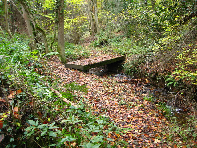
Visitors to Black Wood can enjoy a network of walking trails that wind through the forest, offering stunning views of the surrounding countryside and opportunities for wildlife spotting. The peaceful atmosphere and natural beauty of the forest make it a popular destination for nature lovers, hikers, and photographers.
Managed by the local authorities, Black Wood is carefully preserved and protected to ensure its continued conservation and ecological value. The forest serves as an important green space for the community, providing opportunities for recreation, education, and relaxation in a tranquil natural setting.
If you have any feedback on the listing, please let us know in the comments section below.
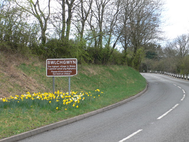
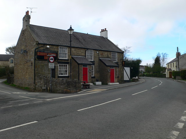
Black Wood Images
Images are sourced within 2km of 53.082199/-3.0930461 or Grid Reference SJ2654. Thanks to Geograph Open Source API. All images are credited.


Black Wood is located at Grid Ref: SJ2654 (Lat: 53.082199, Lng: -3.0930461)
Unitary Authority: Flintshire
Police Authority: North Wales
What 3 Words
///stint.weaved.disposal. Near Brymbo, Wrexham
Nearby Locations
Related Wikis
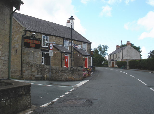
Bwlchgwyn
Bwlchgwyn (Welsh: Bwlch-gwyn) is a village in Wrexham County Borough, Wales, on the A525 road, 5 miles (8 km) west of the city of Wrexham and 10 miles...

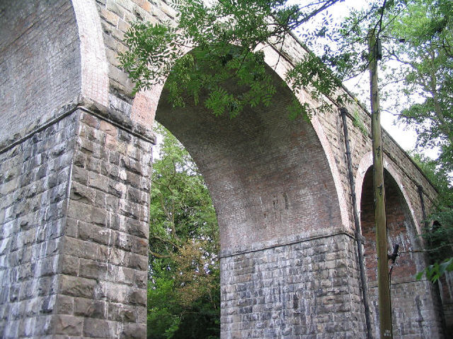
Pentresaeson Halt railway station
Pentresaeson Halt railway station was a station in Bwlchgwyn, Wrexham, Wales. The station was opened on 20 March 1905 and closed on 1 January 1931. �...

Ffrith railway station
Ffrith railway station was a station in Ffrith, Flintshire, Wales. The station was opened on 2 May 1898 and closed on 27 March 1950. == References... ==
Ffrith
Ffrith is a small village in the community of Llanfynydd in Flintshire, north-east Wales. == Name == The name Ffrith (the Welsh double "f" is pronounced...
Nearby Amenities
Located within 500m of 53.082199,-3.0930461Have you been to Black Wood?
Leave your review of Black Wood below (or comments, questions and feedback).