Coed Pren-nimran

Wood, Forest in Monmouthshire

Wales

Coed Pren-nimran

Pant-yr-eos Reservoir seen from Upper Grippath
Pant-yr-eos Reservoir seen from Upper Grippath Credit: David Smith

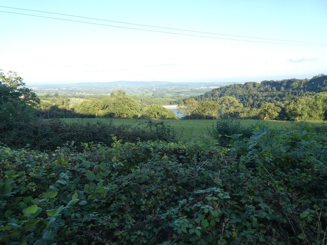
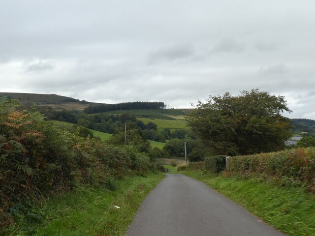
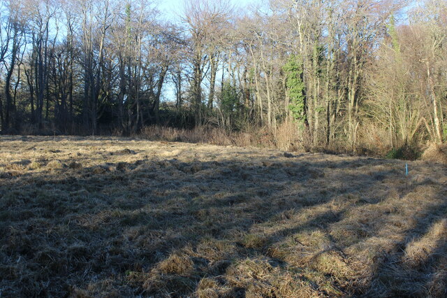
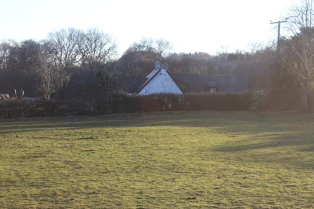
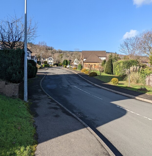
Coed Pren-nimran is a small woodland located in Monmouthshire, Wales. The woodland is known for its lush greenery and diverse plant and animal life. It covers an area of approximately 20 acres and is a popular destination for nature enthusiasts and hikers.

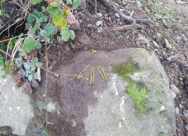
The woodland is home to a variety of tree species, including oak, beech, and birch trees. The forest floor is covered in a carpet of ferns, moss, and wildflowers, creating a picturesque and tranquil setting for visitors to explore.

Coed Pren-nimran is also home to a wide range of wildlife, including birds, squirrels, and deer. Birdwatchers often visit the woodland to catch a glimpse of rare and migratory bird species.

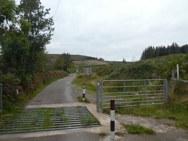
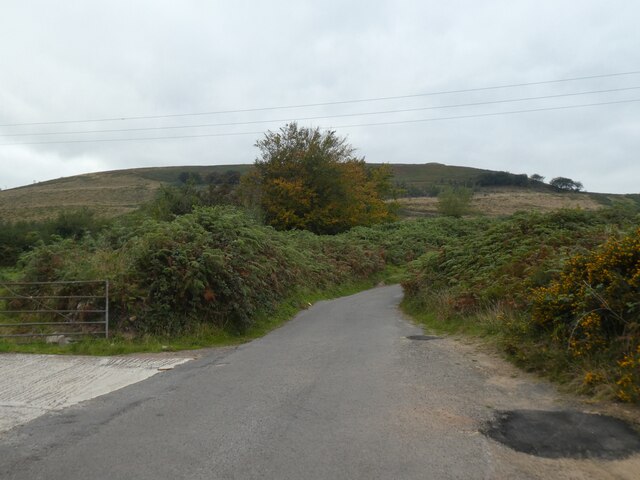
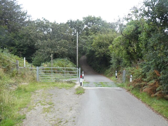
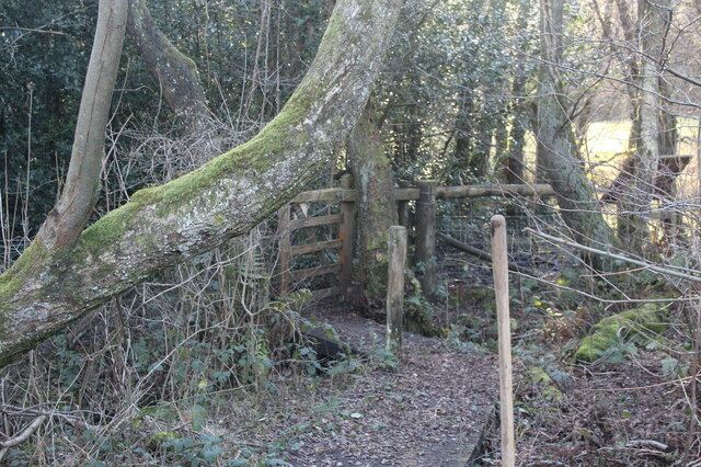
Visitors to Coed Pren-nimran can enjoy walking trails that wind through the forest, offering opportunities to spot wildlife and take in the beautiful scenery. The woodland is also a popular spot for picnics and nature photography.

Overall, Coed Pren-nimran is a peaceful and scenic destination that offers a glimpse into the natural beauty of Monmouthshire.

If you have any feedback on the listing, please let us know in the comments section below.

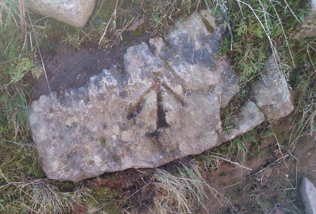
Coed Pren-nimran Images

Images are sourced within 2km of 51.622031/-3.0666685 or Grid Reference ST2692. Thanks to Geograph Open Source API. All images are credited.

Pant-yr-eos Reservoir seen from Upper Grippath
Cattle grid on road near Maesmawr
Twmbarlwm seen from road to the hikers' car park
Cattle grid on road past Maesmawr
On Mountain Road
On Mountain Road
Mountain Road, leading to Twmbarlwm
Stone marker at the foot of Twmbarlwm, shrouded in rain cloud
Ordnance Survey Cut Mark This OS cut mark can be found on the large rock north side of the fence line and south side of old track. It marks a point 344.607m above mean sea level.
Ordnance Survey Cut Mark
This OS cut mark can be found on the large rock north side of the fence line and south side of old track. It marks a point 344.607m above mean sea level.
Remains of Dry Stone Wall
Ordnance Survey Pivot This OS pivot can be found on the rock SE side of the track. It marks a point 309.019m above mean sea level.
Ordnance Survey Pivot
This OS pivot can be found on the rock SE side of the track. It marks a point 309.019m above mean sea level.
Ordnance Survey Pivot This OS pivot can be found on the rock NW side of the track. It marks a point 741.6ft above mean sea level.
Ordnance Survey Pivot
This OS pivot can be found on the rock NW side of the track. It marks a point 741.6ft above mean sea level.
Ordnance Survey Cut Mark This OS cut mark can be found on the barn at Cwrt Henllys Farm. It marks a point 168.951m above mean sea level.
Ordnance Survey Cut Mark
This OS cut mark can be found on the barn at Cwrt Henllys Farm. It marks a point 168.951m above mean sea level.
Ordnance Survey Cut Mark This OS cut mark can be found on the NW angle of St Peter's Church. It marks a point 82.104m above mean sea level.
Ordnance Survey Cut Mark
This OS cut mark can be found on the NW angle of St Peter's Church. It marks a point 82.104m above mean sea level.
Ordnance Survey Pivot This OS pivot can be found on the stone SE side of the road. It marks a point 96.588m above mean sea level.
Ordnance Survey Pivot
This OS pivot can be found on the stone SE side of the road. It marks a point 96.588m above mean sea level.
Mire, Henllys Bog Local Nature Reserve The dominant tussocks of purple moor-grass and invasive scrub have just been cut by a Gwent Wildlife Trust working party, and the cut vegetation removed in order to promote the growth of rare wetland plants. The blue pipe is to enable the subterranean water level to be assessed. Maps show the area as deciduous woodland but trees are found only on the edge of the Trust's reserve.
Mire, Henllys Bog Local Nature Reserve
The dominant tussocks of purple moor-grass and invasive scrub have just been cut by a Gwent Wildlife Trust working party, and the cut vegetation removed in order to promote the growth of rare wetland plants. The blue pipe is to enable the subterranean water level to be assessed. Maps show the area as deciduous woodland but trees are found only on the edge of the Trust's reserve.
Boardwalk at entrance to Henllys Bog LNR Wooden boardwalk over stream and wet ground inside the kissing gate entrance to Gwent Wildlife Trust's reserve.
Boardwalk at entrance to Henllys Bog LNR
Wooden boardwalk over stream and wet ground inside the kissing gate entrance to Gwent Wildlife Trust's reserve.
Pandy-mawr Farm The building beyond the field is the historic farmhouse and barn.
Pandy-mawr Farm
The building beyond the field is the historic farmhouse and barn.
NW along Sycamore Court, Henllys, Cwmbran From the corner of Henllys Way.
NW along Sycamore Court, Henllys, Cwmbran
From the corner of Henllys Way.
Show me another place!

Coed Pren-nimran is located at Grid Ref: ST2692 (Lat: 51.622031, Lng: -3.0666685)

Unitary Authority: Torfaen

Police Authority: Gwent

What 3 Words

///assess.stretch.croutons. Near Risca, Caerphilly

Related Wikis

Risca Community Comprehensive School

Risca Community Comprehensive School is a community comprehensive school located in the town of Risca near Newport on the eastern side of the Caerphilly...
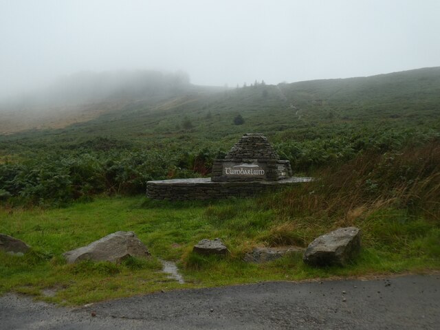
Twmbarlwm

Twmbarlwm, also known as Twm Barlwm, Twyn Barlwm or locally known as "the Twmp" (translation: hump), the Nipple or the Pimple because of the mound that...

Welsh Oak

The Welsh Oak is a pub located in Pontymister, Caerphilly County Borough, Wales. In recent years, due to a decline in trade, the pub has ceased trading...

Coed Eva

Coed Eva (Welsh: Coed Efa) is a suburb of Cwmbran in Torfaen County Borough, Wales. It lies in the preserved county of Gwent and within the historic boundaries...

Nearby Amenities

Located within 500m of 51.622031,-3.0666685
Direction: 150
Generator Method: photovoltaic
Generator Output Electricity: yes
Generator Solar Modules: 14
Generator Source: solar
Generator Type: solar_photovoltaic_panel
Location: roof
Power: generator
Lat/Long: 51.6200999/-3.0726327
The data included in this document is from www.openstreetmap.org. The data is made available under ODbL.

Have you been to Coed Pren-nimran?

Leave your review of Coed Pren-nimran below (or comments, questions and feedback).