Lees Wood
Wood, Forest in Flintshire
Wales
Lees Wood
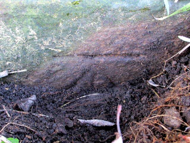
Lees Wood is a picturesque forest located in the county of Flintshire, Wales. Covering an area of approximately 200 acres, the woodland is renowned for its natural beauty and diverse ecosystem.
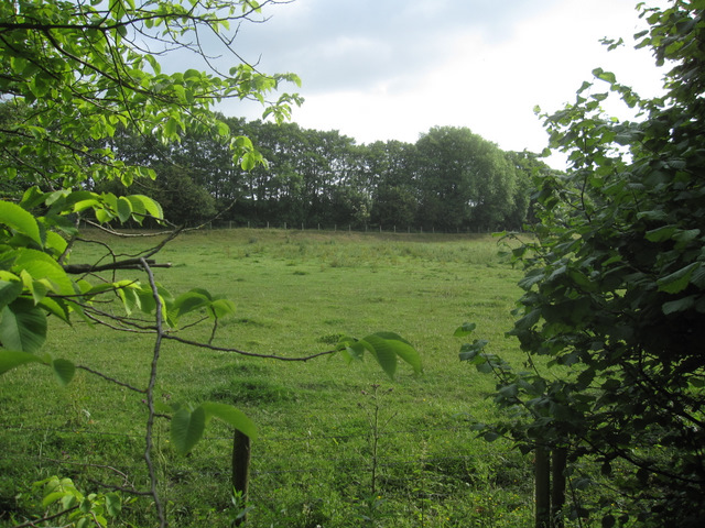
The forest is predominantly composed of native deciduous trees, including oak, beech, and birch, which create a vibrant and colorful canopy during the autumn months. The woodland floor is adorned with a variety of wildflowers, such as bluebells and primroses, adding to the enchanting atmosphere.
Lees Wood is a haven for wildlife, providing a habitat for a range of species. Birdwatchers will be delighted to spot various species, including woodpeckers, jays, and long-tailed tits, as they flit through the trees. Additionally, the forest is home to mammals such as foxes, badgers, and even the elusive red squirrel.
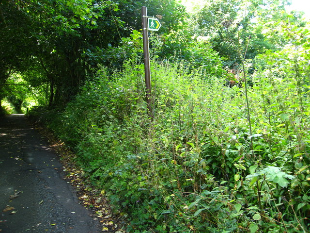
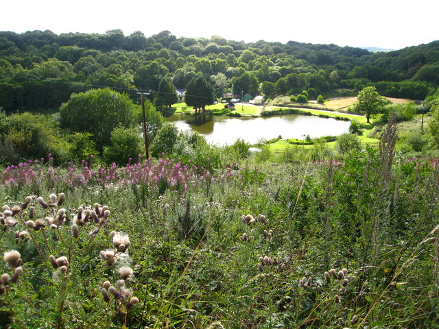
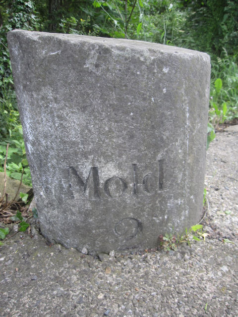
Nature enthusiasts can explore Lees Wood through a network of well-maintained trails, allowing visitors to immerse themselves in the tranquil surroundings. The paths wind through the forest, offering stunning views of the surrounding countryside and the nearby River Dee.
The woodland also holds historical significance, with remnants of an ancient ironworks still visible within the forest. These remnants serve as a reminder of the area's industrial past and provide an interesting insight into its history.
Lees Wood is a popular destination for outdoor activities, including walking, picnicking, and nature photography. Its accessibility and natural beauty make it a cherished gem for both locals and tourists alike, offering a peaceful retreat in the heart of Flintshire.
If you have any feedback on the listing, please let us know in the comments section below.
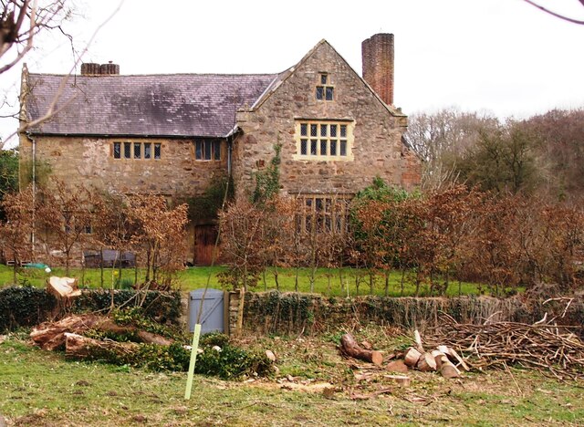
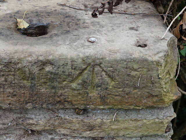
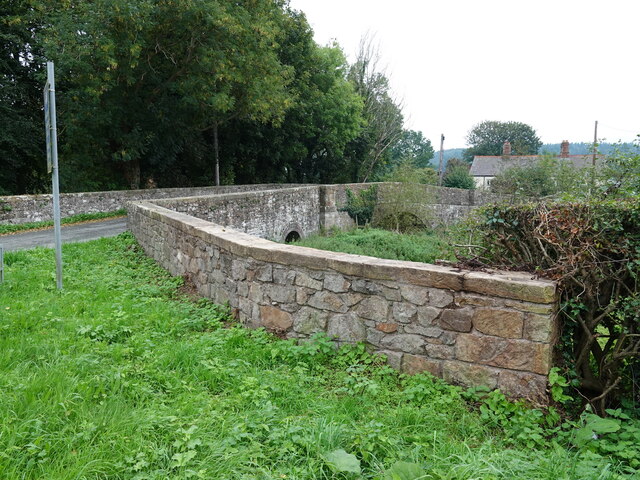
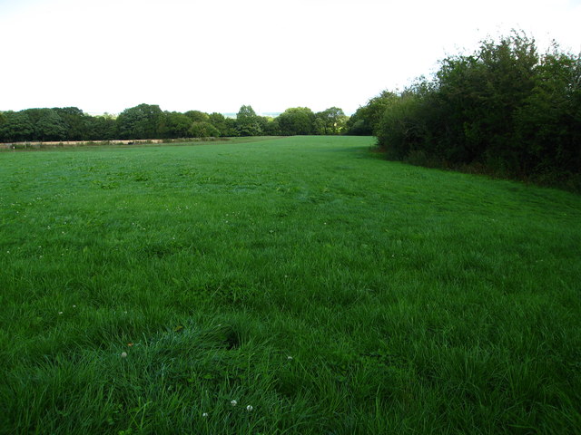
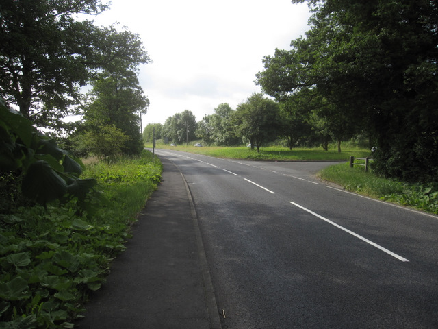
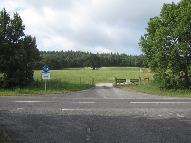
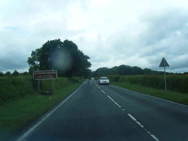
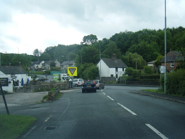
Lees Wood Images
Images are sourced within 2km of 53.144455/-3.1042252 or Grid Reference SJ2661. Thanks to Geograph Open Source API. All images are credited.


Lees Wood is located at Grid Ref: SJ2661 (Lat: 53.144455, Lng: -3.1042252)
Unitary Authority: Flintshire
Police Authority: North Wales
What 3 Words
///levels.departure.pots. Near Leeswood, Flintshire
Nearby Locations
Related Wikis

River Terrig
The River Terrig (Welsh: Afon Terrig) is a small river in north-east Wales. The river rises at Llyn Cyfynwy near Graianrhyd village in the community of...

Leeswood and Pontblyddyn
Leeswood and Pontblyddyn is a community in Flintshire, Wales in the United Kingdom, including the villages of Leeswood and Pontblyddyn.The council was...
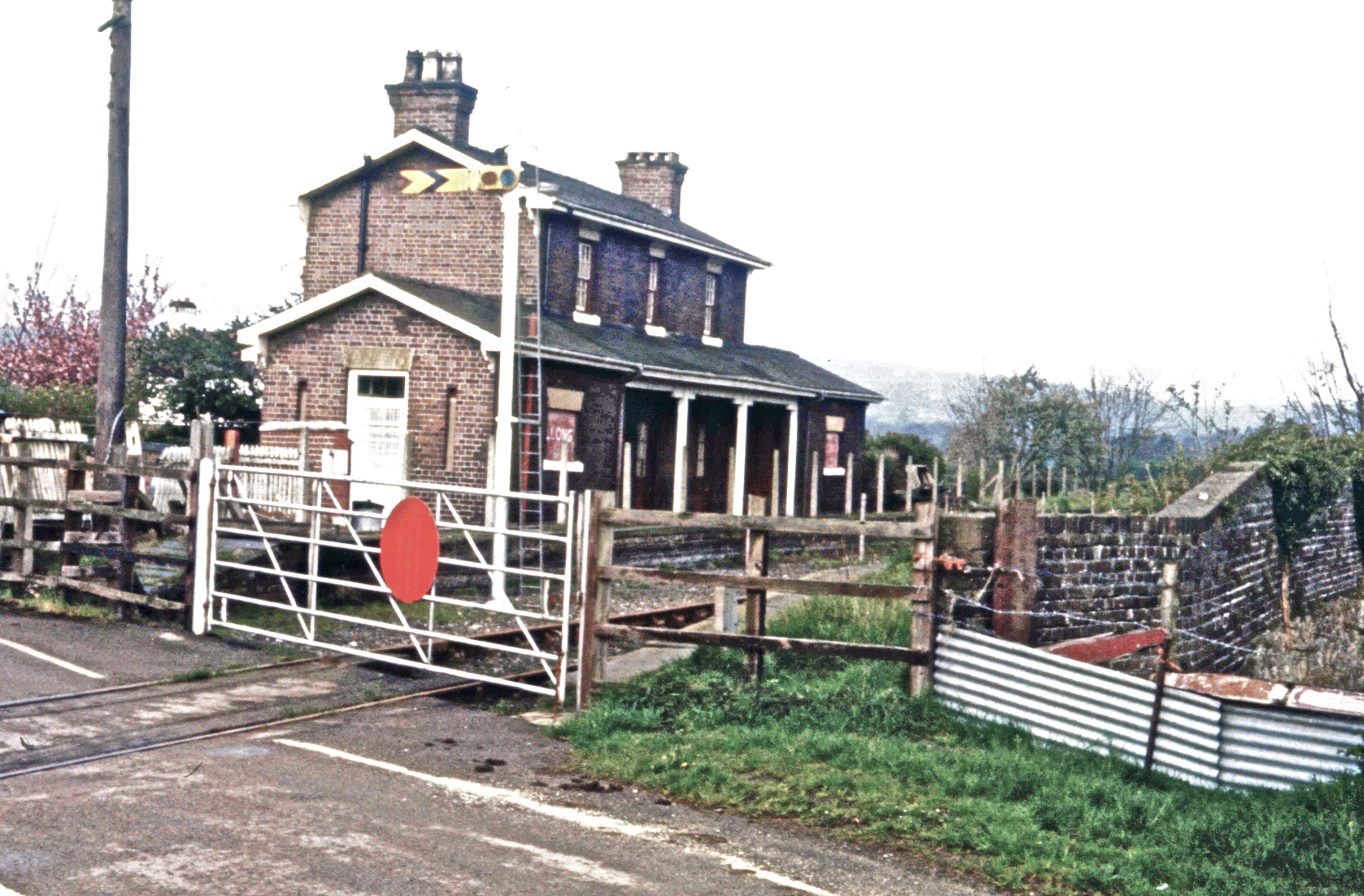
Llong railway station
Llong railway station was a station in Llong, Flintshire, Wales. The station was opened on 14 August 1849 and closed on 30 April 1962. The station building...

Leeswood Hall
Leeswood Hall is a country house in Leeswood, Flintshire, Wales. Dating from 1742, it was built for George Wynne, the design being attributed to Francis...
Argoed, Flintshire
Argoed (Welsh for 'wooded area' / 'in the wood') is a community in Flintshire, Wales, located between the towns of Mold and Buckley. The largest settlement...

Leeswood
Leeswood (Welsh: Coed-llai) is a village, community and electoral ward in Flintshire, Wales, about four miles from the historic market town of Mold. At...

Padeswood and Buckley railway station
Padeswood & Buckley railway station was a station in Padeswood, Flintshire, Wales. The station was opened around October 1850 and closed on 6 January 1958...

Pontblyddyn
Pontblyddyn is a small village outside Leeswood, in Flintshire, Wales and is situated around 8 miles from Wrexham. Plas Teg, one of the most important...
Nearby Amenities
Located within 500m of 53.144455,-3.1042252Have you been to Lees Wood?
Leave your review of Lees Wood below (or comments, questions and feedback).