Leeswood and Pontblyddyn
Community in Flintshire
Wales
Leeswood and Pontblyddyn
Leeswood and Pontblyddyn is a community located in Flintshire, Wales. It is situated in the northeastern part of the county, near the border with England. The community is made up of two villages, Leeswood and Pontblyddyn, which are separated by a small river called the Alyn.
Leeswood is the larger of the two villages and serves as the administrative center for the community. It has a population of around 1,500 people. The village features a range of amenities including a primary school, a community center, a post office, and several shops and pubs. The village also has a rich industrial heritage, with evidence of coal mining and brickmaking in the past.
Pontblyddyn, on the other hand, is a smaller village with a population of approximately 500 people. It is known for its picturesque setting, nestled in the beautiful Welsh countryside. The village is home to a historic church, St. John the Baptist, which dates back to the 13th century. It is also famous for its annual horse racing event, the Pontblyddyn Races, which has been held since the early 1800s.
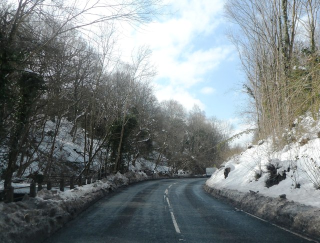
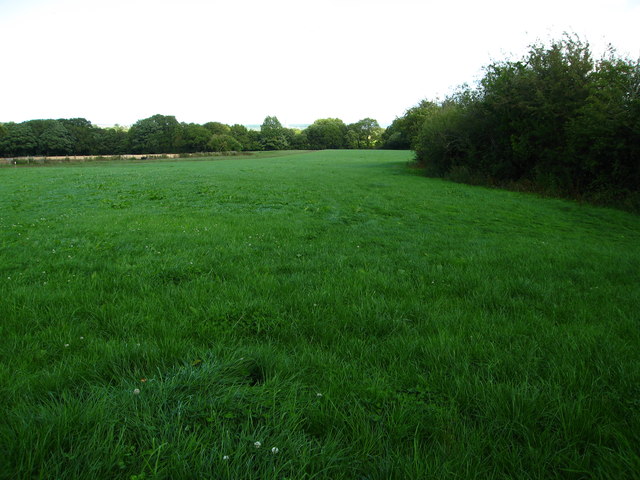
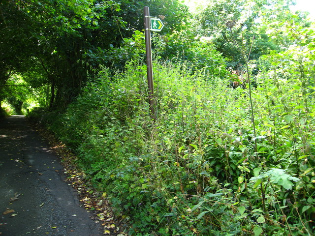
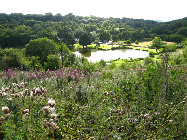
Both villages offer a range of outdoor activities and attractions. The local area is dotted with walking trails and nature reserves, providing opportunities for hiking, birdwatching, and exploring the stunning natural scenery. Additionally, the nearby Alyn Waters Country Park offers further recreational activities such as canoeing, fishing, and cycling.
Overall, Leeswood and Pontblyddyn provide a charming and picturesque setting for residents and visitors alike, with a mix of history, natural beauty, and community spirit.
If you have any feedback on the listing, please let us know in the comments section below.
Leeswood and Pontblyddyn Images
Images are sourced within 2km of 53.141447/-3.096703 or Grid Reference SJ2661. Thanks to Geograph Open Source API. All images are credited.


Leeswood and Pontblyddyn is located at Grid Ref: SJ2661 (Lat: 53.141447, Lng: -3.096703)
Unitary Authority: Flintshire
Police Authority: North Wales
Also known as: Coed-llai a Pontblyddyn
What 3 Words
///reclined.fetch.precautions. Near Leeswood, Flintshire
Nearby Locations
Related Wikis

River Terrig
The River Terrig (Welsh: Afon Terrig) is a small river in north-east Wales. The river rises at Llyn Cyfynwy near Graianrhyd village in the community of...

Leeswood and Pontblyddyn
Leeswood and Pontblyddyn is a community in Flintshire, Wales in the United Kingdom, including the villages of Leeswood and Pontblyddyn.The council was...

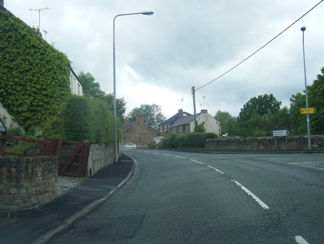
Leeswood
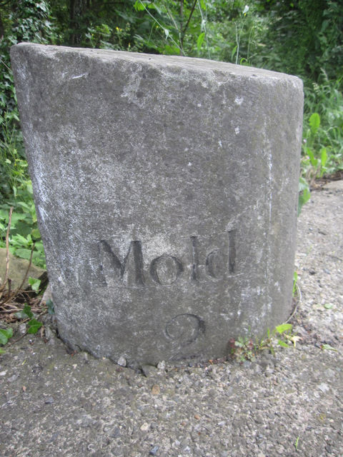
Leeswood (Welsh: Coed-llai) is a village, community and electoral ward in Flintshire, Wales, about four miles from the historic market town of Mold. At...

Pontblyddyn
Pontblyddyn is a small village outside Leeswood, in Flintshire, Wales and is situated around 8 miles from Wrexham. Plas Teg, one of the most important...

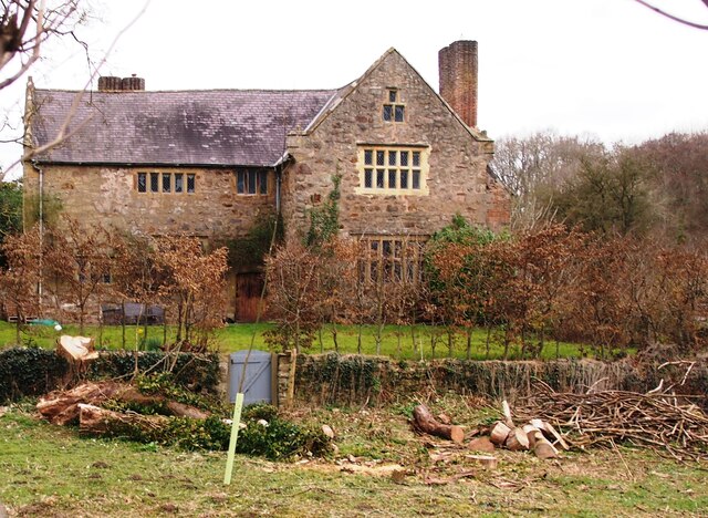
Fferm
Fferm (Welsh for "farm") Farmhouse is a small Elizabethan manor house, located to the east of Pontblyddyn in the county of Flintshire, Wales. It is listed...
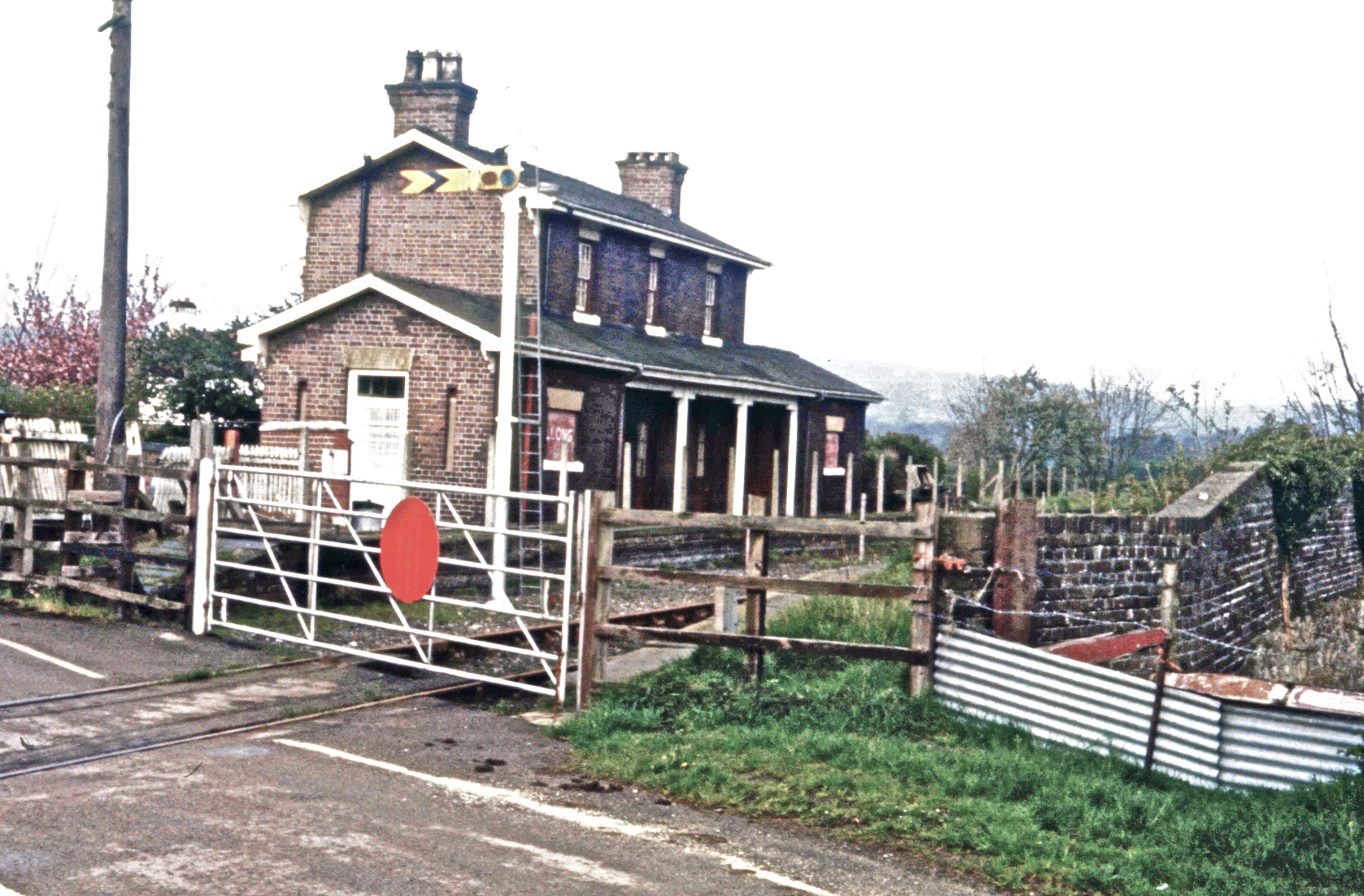
Llong railway station
Llong railway station was a station in Llong, Flintshire, Wales. The station was opened on 14 August 1849 and closed on 30 April 1962. The station building...

Padeswood and Buckley railway station
Padeswood & Buckley railway station was a station in Padeswood, Flintshire, Wales. The station was opened around October 1850 and closed on 6 January 1958...

Leeswood Hall
Leeswood Hall is a country house in Leeswood, Flintshire, Wales. Dating from 1742, it was built for George Wynne, the design being attributed to Francis...
Nearby Amenities
Located within 500m of 53.141447,-3.096703Have you been to Leeswood and Pontblyddyn?
Leave your review of Leeswood and Pontblyddyn below (or comments, questions and feedback).