Coed Nyth-y-frân
Wood, Forest in Merionethshire
Wales
Coed Nyth-y-frân
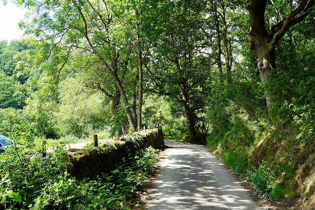
Coed Nyth-y-frân, located in Merionethshire, is a picturesque woodland area known for its natural beauty and rich biodiversity. This enchanting forest covers a substantial area and is a haven for nature enthusiasts and hikers alike.
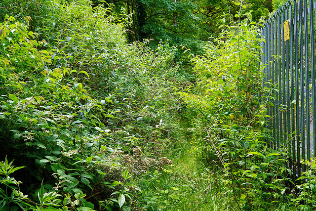
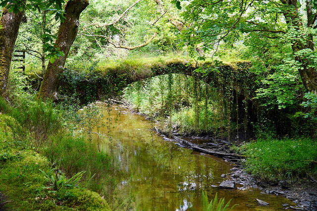
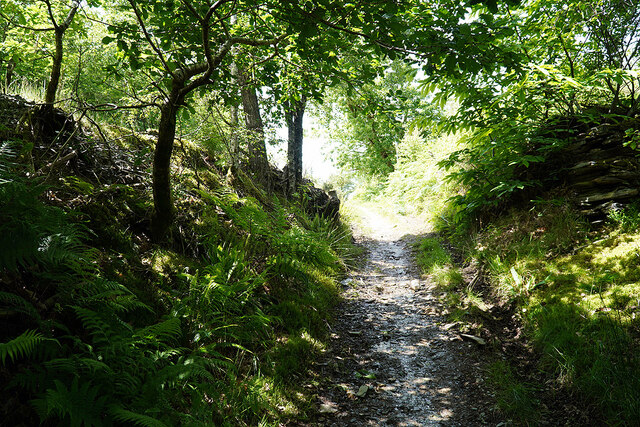
The woodland is characterized by its dense vegetation, consisting of a variety of trees, including oak, beech, and birch. These trees create a lush and vibrant canopy, providing a peaceful and serene atmosphere for visitors. The forest floor is covered in a blanket of moss and ferns, adding to its ethereal charm.
Coed Nyth-y-frân is home to a diverse range of wildlife, making it a popular destination for wildlife enthusiasts. It is not uncommon to spot a variety of bird species, including woodpeckers, thrushes, and warblers, as well as small mammals such as squirrels and rabbits. The forest is also known to house a number of elusive creatures, including badgers and foxes.
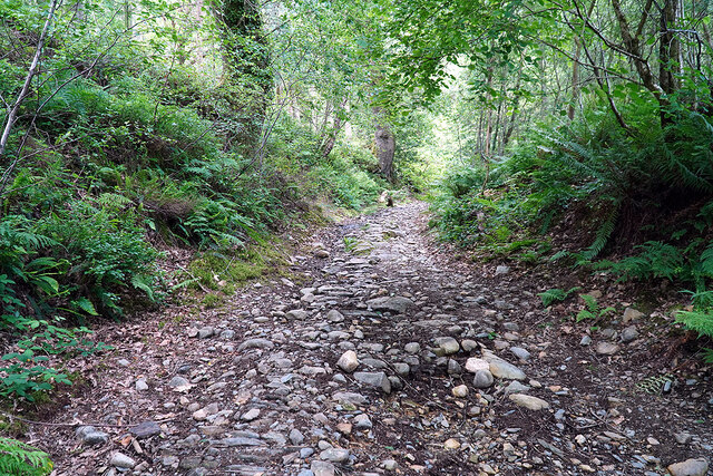
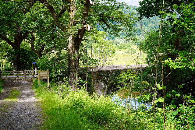
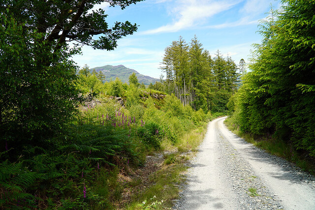
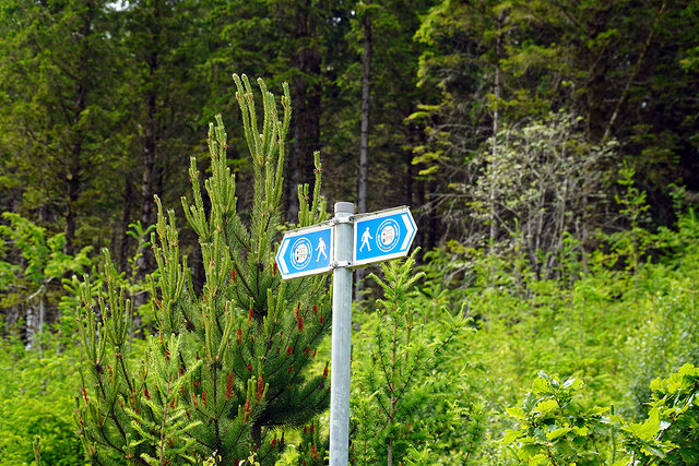
The woodland offers several well-marked trails for visitors to explore, allowing them to immerse themselves in the beauty of nature. These trails wind through the forest, offering breathtaking views of the surrounding landscape and providing an opportunity to encounter the flora and fauna up close.
Coed Nyth-y-frân is cherished by the local community and visitors who appreciate its tranquility and natural splendor. It serves as a peaceful retreat for those seeking solace in nature or a place to indulge in outdoor activities such as picnicking, birdwatching, or simply enjoying a leisurely walk in the woods.
In conclusion, Coed Nyth-y-frân in Merionethshire is a captivating woodland that offers a haven of natural beauty, diverse wildlife, and well-marked trails for visitors to explore and enjoy.
If you have any feedback on the listing, please let us know in the comments section below.
Coed Nyth-y-frân Images
Images are sourced within 2km of 52.927443/-3.9933203 or Grid Reference SH6638. Thanks to Geograph Open Source API. All images are credited.
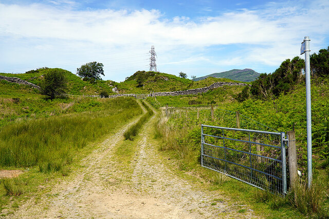
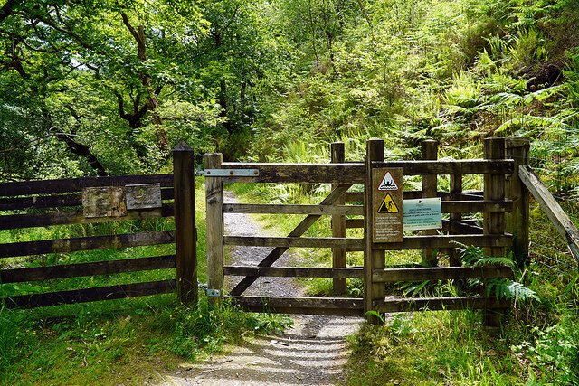
![Gate on the Cambrian Way Here the long distance path runs by the grounds of Cae Einion Alan [residential house]. To the left is cycle route 82 which emerges by the Trawsfynydd power station building.](https://s2.geograph.org.uk/geophotos/07/20/25/7202558_786f0e66.jpg)
Coed Nyth-y-frân is located at Grid Ref: SH6638 (Lat: 52.927443, Lng: -3.9933203)
Unitary Authority: Gwynedd
Police Authority: North Wales
What 3 Words
///freezing.file.receiving. Near Maentwrog, Gwynedd
Related Wikis

Maentwrog power station
Maentwrog power station was built by the North Wales Power Company and supplied electricity to North Wales, Deeside and Cheshire. It exploits the water...
Coed Camlyn National Nature Reserve
Coed Camlyn National Nature Reserve is a nature reserve located south of the village of Maentwrog in Gwynedd, Wales. Rising steeply from the River Dwyryd...

Maentwrog
Maentwrog () is a village and community in the Welsh county of Merionethshire (now part of Gwynedd), lying in the Vale of Ffestiniog just below Blaenau...

Vale of Ffestiniog
The Vale of Ffestiniog is a valley in the Snowdonia National Park in Gwynedd, North Wales. It stretches from Ffestiniog in the east and runs in a westerly...

St Twrog's Church, Maentwrog
Saint Twrog's Church is in the village of Maentwrog in the Welsh county of Gwynedd, lying in the Vale of Ffestiniog, within the Snowdonia National Park...
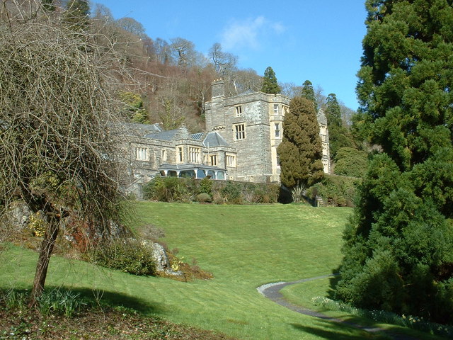
Plas Tan y Bwlch
Plas Tan y Bwlch in Gwynedd, Wales, is the Snowdonia National Park environmental studies centre, administered by the National Park Authority. It is located...
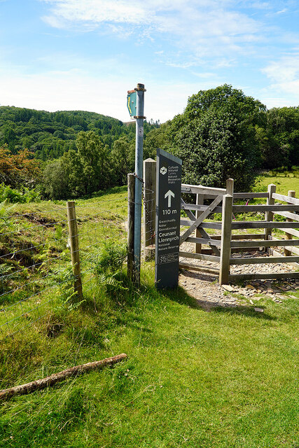
Ceunant Llennyrch National Nature Reserve
Ceunant Llennyrch National Nature Reserve is one of several woodland reserves in the Vale of Ffestiniog in Gwynedd, Wales and runs from Llyn Trawsfynydd...

Tan-y-Bwlch, Maentwrog
Tan-y-Bwlch (Welsh for Under the pass/gap) lies in the Snowdonia National Park in North Wales and is primarily known as the location of Tan-y-Bwlch railway...
Nearby Amenities
Located within 500m of 52.927443,-3.9933203Have you been to Coed Nyth-y-frân?
Leave your review of Coed Nyth-y-frân below (or comments, questions and feedback).