Coed Trwynybuarth
Wood, Forest in Cardiganshire
Wales
Coed Trwynybuarth
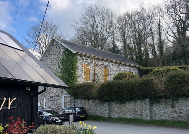
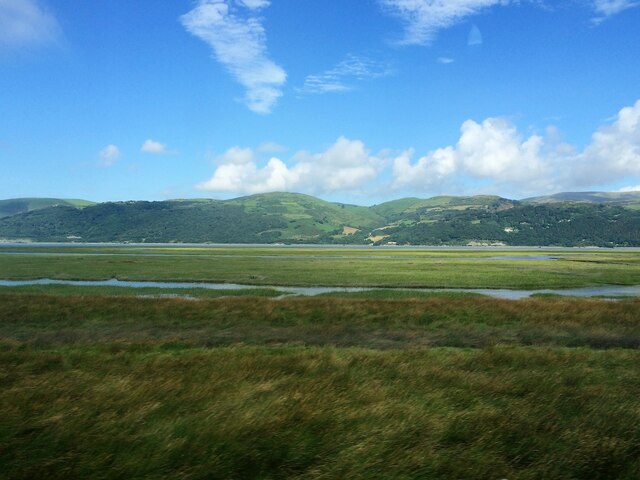
Coed Trwynybuarth, located in Cardiganshire, is a picturesque wood or forest spanning a vast area. The name "Trwynybuarth" translates to "headland of the enclosure" in English, perhaps alluding to the formation of the land or its historical use. The woodland is situated in a rural and serene setting, surrounded by rolling hills and offering breathtaking views of the Cardiganshire countryside.
Covering a significant expanse, Coed Trwynybuarth boasts a diverse range of tree species, creating a rich and vibrant ecosystem. The forest is home to a variety of deciduous and evergreen trees, including oak, beech, maple, and pine, among others. This diverse mix of flora provides a habitat for a wide array of wildlife, such as birds, deer, foxes, and smaller mammals.
The forest is a popular destination for nature enthusiasts and outdoor lovers, offering an extensive network of walking trails and paths. These trails allow visitors to explore the wood's captivating beauty while immersing themselves in the tranquility of the surrounding environment. The dense foliage provides shade during warmer months, creating a cool and refreshing atmosphere.
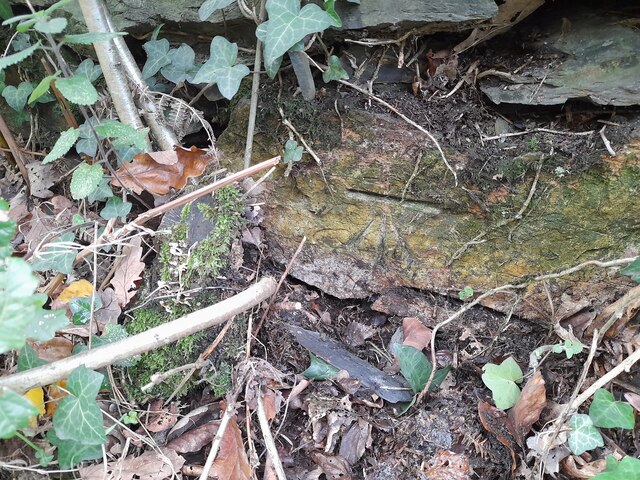
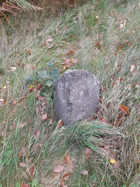
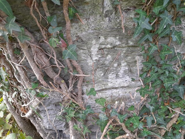
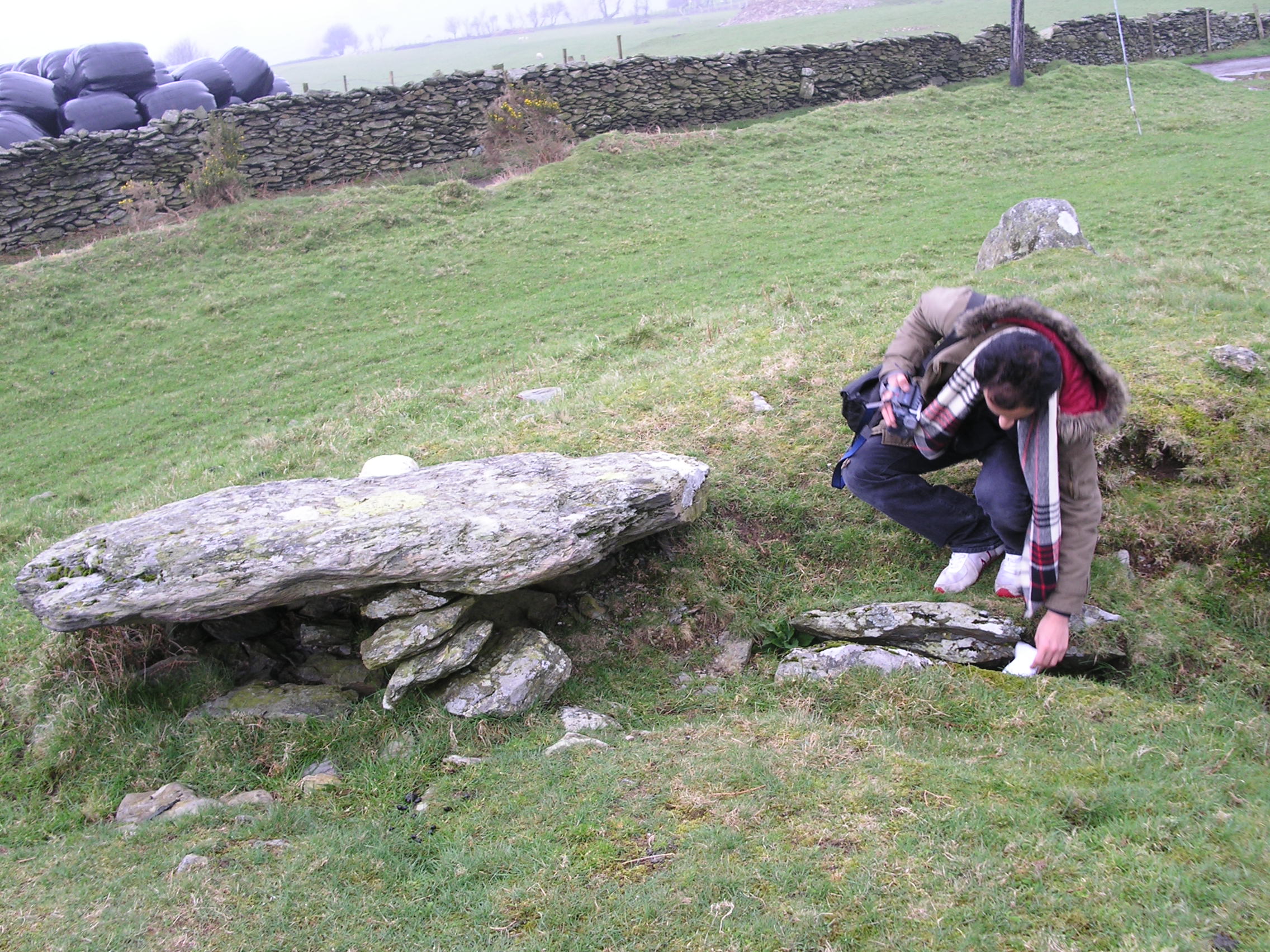
Coed Trwynybuarth also holds historical significance, with evidence of human presence dating back centuries. The woodland may have served various purposes throughout history, such as a source of timber or a hunting ground.
Overall, Coed Trwynybuarth in Cardiganshire is a captivating wood or forest that offers a unique blend of natural beauty, diverse wildlife, and historical significance. It is a haven for those seeking solace in nature or an opportunity to connect with the rich heritage of the region.
If you have any feedback on the listing, please let us know in the comments section below.
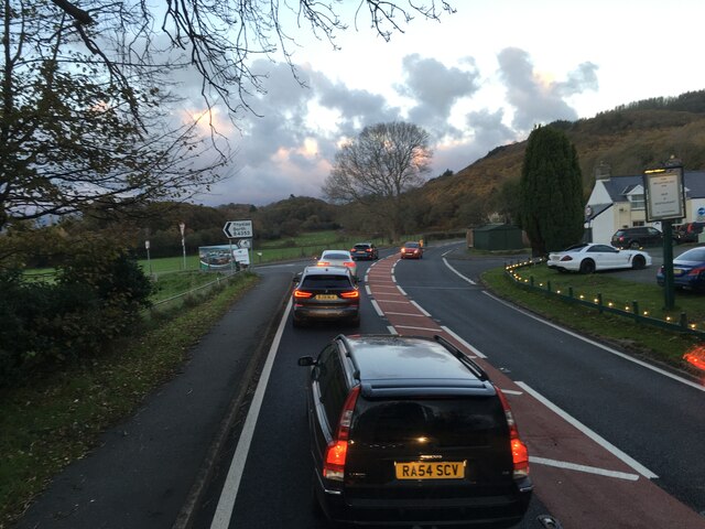
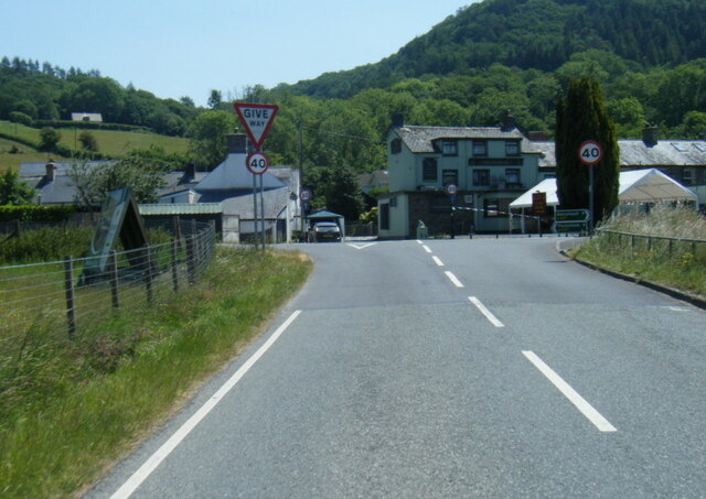
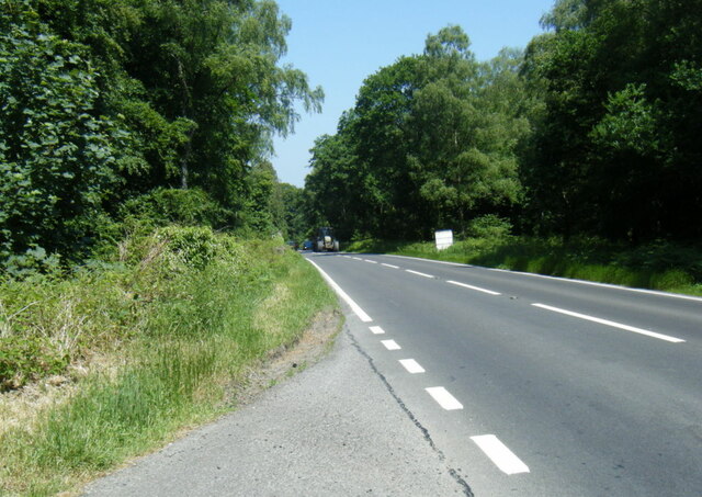
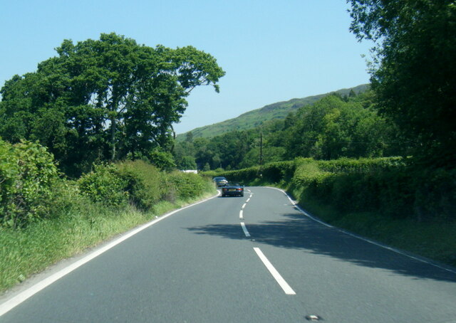
Coed Trwynybuarth Images
Images are sourced within 2km of 52.524347/-3.9751765 or Grid Reference SN6693. Thanks to Geograph Open Source API. All images are credited.


Coed Trwynybuarth is located at Grid Ref: SN6693 (Lat: 52.524347, Lng: -3.9751765)
Unitary Authority: Ceredigion
Police Authority: Dyfed Powys
What 3 Words
///labels.gentlemen.markets. Near Borth, Ceredigion
Nearby Locations
Related Wikis

Craig-y-penrhyn
Craig-y-penrhyn is a hamlet in the community of Llangynfelyn, Ceredigion, Wales, which is 79.3 miles (127.7 km) from Cardiff and 178.1 miles (286.6 km...
Llangynfelyn
Llangynfelyn is both a parish and a community in Ceredigion, Wales, midway between Aberystwyth and Machynlleth. It stretches from the Leri estuary in...
Coed Cwm Clettwr
Coed Cwm Clettwr is a Site of Special Scientific Interest in Ceredigion, west Wales. It is designated for mature broadleaf woodland.The alternative spelling...
Neuaddyrynys
Neuaddyrynys is a small village in the community of Llangynfelyn, Ceredigion, Wales, which is 78.9 miles (127 km) from Cardiff and 178.2 miles (286.7...

Dyfi Estuary Mudflats
Dyfi Estuary Mudflats are mudflats on the estuary of the River Dyfi in Ceredigion, Wales, and are part of the Dyfi National Nature Reserve. == Ecology... ==
Coed y Garth, Ceredigion
Coed y Garth is a small village in the community of Ysgubor-y-coed, Ceredigion, Wales, which is 79.7 miles (128.2 km) from Cardiff and 176.9 miles (284...
Bedd Taliesin
Bedd Taliesin is the legendary grave (bedd) of the poet Taliesin, located in Ceredigion, Wales. The Bronze Age round cairn is a listed Historic Monument...

Tre-Taliesin
Tre-Taliesin is a village in Ceredigion on the A487 road, 9 miles north of Aberystwyth, Wales, and 9 miles south of Machynlleth. It is in the parish of...
Nearby Amenities
Located within 500m of 52.524347,-3.9751765Have you been to Coed Trwynybuarth?
Leave your review of Coed Trwynybuarth below (or comments, questions and feedback).