Coed Pen-y-banc

Wood, Forest in Cardiganshire

Wales

Coed Pen-y-banc

Tal-y-Bont Cemetery On a hillside on the northern side of the village. The brown expanse in the distance is Cors Fochno
Tal-y-Bont Cemetery Credit: Eirian Evans

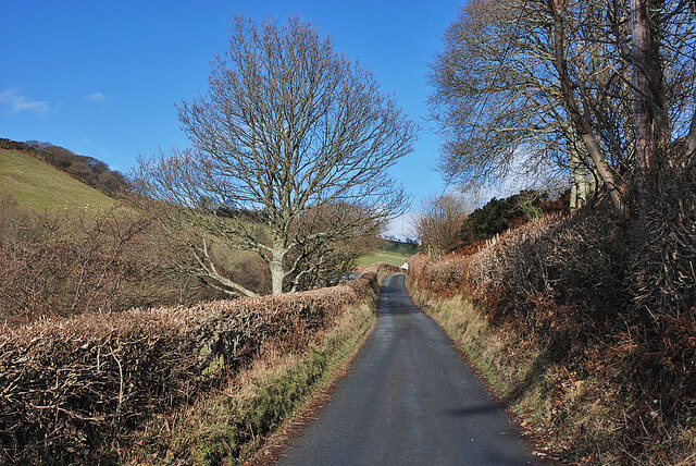
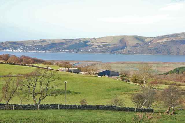
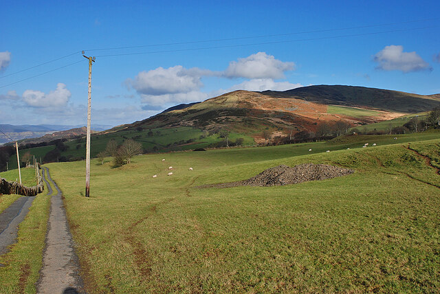
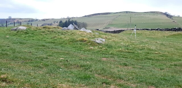
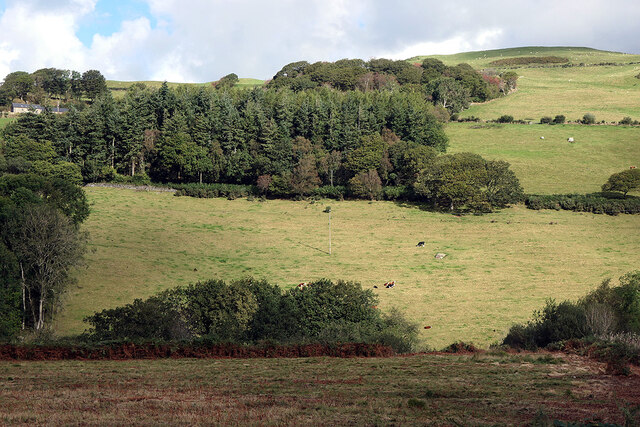
Coed Pen-y-banc is a picturesque woodland located in Cardiganshire, Wales. Covering an area of approximately 100 acres, this enchanting forest is renowned for its diverse range of flora and fauna, making it a popular destination for nature lovers and outdoor enthusiasts.

The woodland is primarily composed of a mixture of deciduous and coniferous trees, including oak, beech, pine, and spruce. These towering trees provide a dense canopy, creating a tranquil and shady environment for visitors to explore. The forest floor is carpeted with a variety of wildflowers, adding vibrant pops of color to the landscape.

Coed Pen-y-banc is home to a wide array of wildlife species. Birdwatchers can spot a multitude of avian species, including woodpeckers, owls, and various songbirds. Squirrels and rabbits can often be seen darting between the trees, while badgers and foxes are occasionally spotted in the early morning or late evening.

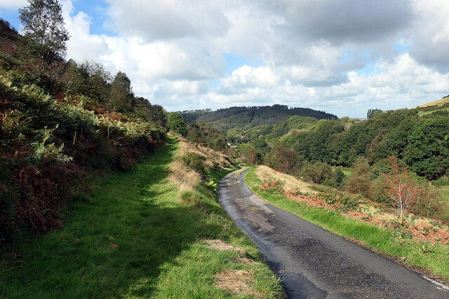
The woodland offers several walking trails and paths, allowing visitors to immerse themselves in the natural beauty of the surroundings. These trails range in difficulty, catering to both casual strollers and more experienced hikers. Along the way, interpretive signs provide information about the local flora and fauna, enhancing the educational experience.

Coed Pen-y-banc also boasts a picnic area, equipped with benches and tables, where visitors can relax and enjoy a meal amidst the serene atmosphere. Additionally, the forest offers camping facilities for those looking to extend their stay and fully immerse themselves in the wilderness.

Overall, Coed Pen-y-banc is a captivating woodland that offers a peaceful retreat from the hustle and bustle of everyday life. With its stunning scenery and abundant wildlife, it is a must-visit destination for nature enthusiasts seeking to connect with the great outdoors.

If you have any feedback on the listing, please let us know in the comments section below.

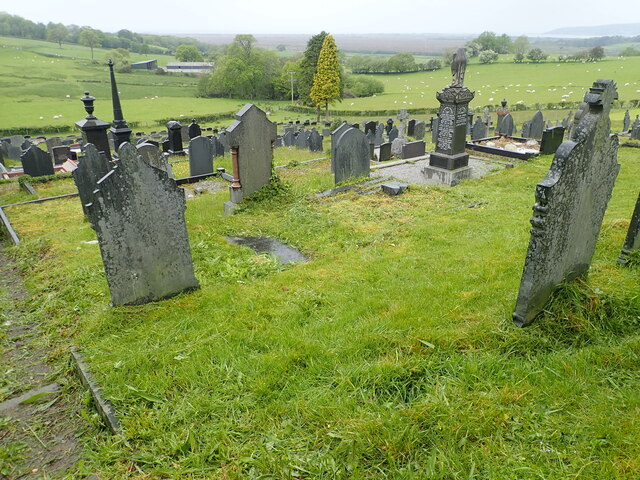
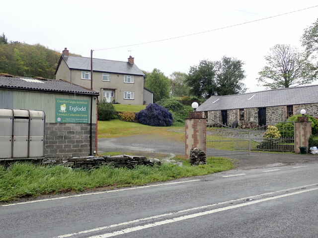
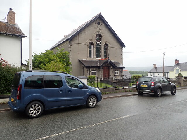
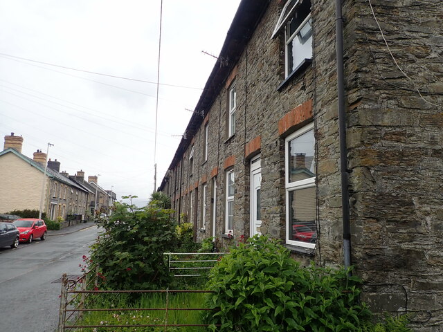
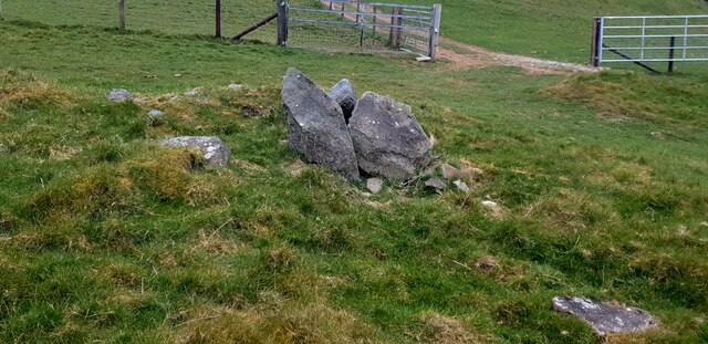
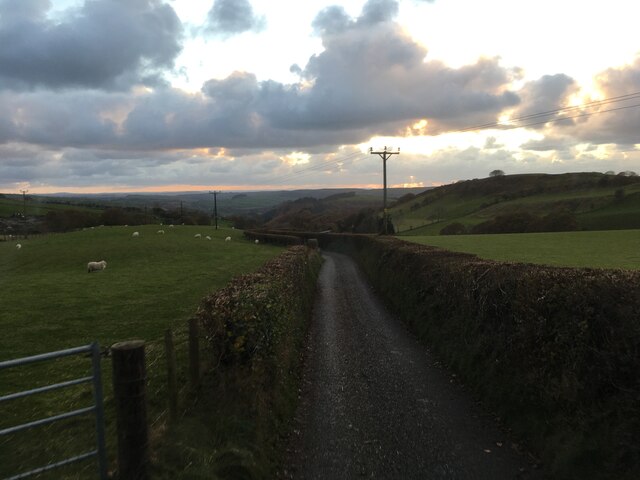
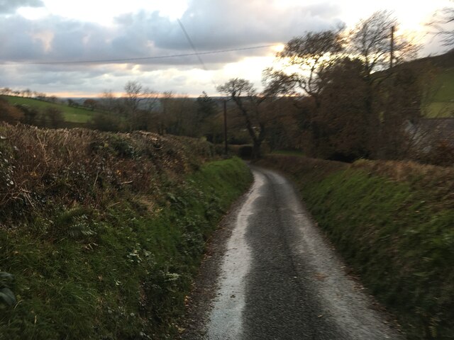
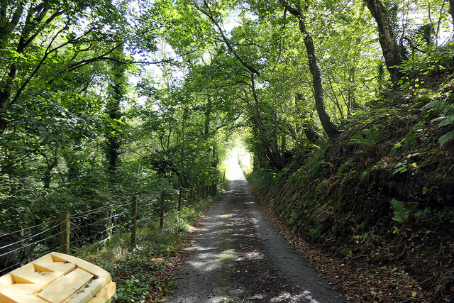
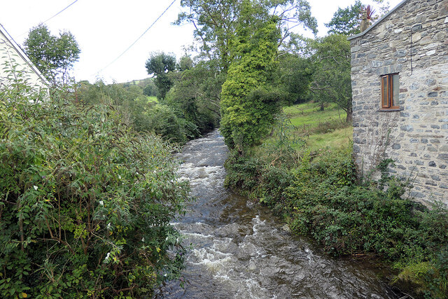
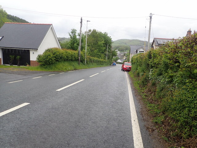
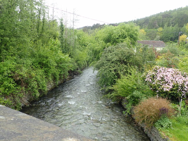
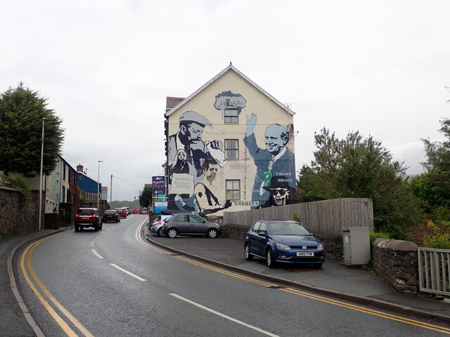
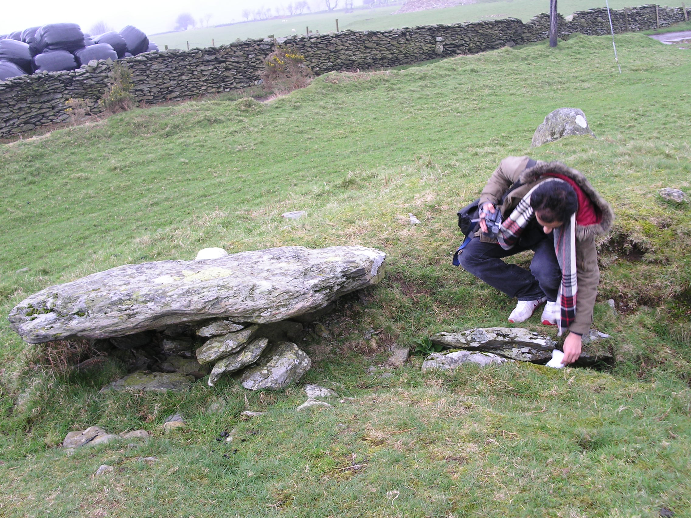
Coed Pen-y-banc Images

Images are sourced within 2km of 52.493758/-3.9741438 or Grid Reference SN6690. Thanks to Geograph Open Source API. All images are credited.

Tal-y-Bont Cemetery On a hillside on the northern side of the village. The brown expanse in the distance is Cors Fochno
Tal-y-Bont Cemetery
On a hillside on the northern side of the village. The brown expanse in the distance is Cors Fochno
Erglodd farm
Erglodd farm
Capel Rehoboth, Tre Taliesin Welsh Calvinistic Methodist chapel
Capel Rehoboth, Tre Taliesin
Welsh Calvinistic Methodist chapel
Terraced housing, Tre Taliesin
Lane climbing up Cwm Slaid The old coach road, seen climbing away north from Talybont.
Lane climbing up Cwm Slaid
The old coach road, seen climbing away north from Talybont.
View to the Dyfi estuary Looking over Gwar-cwm-isaf farm,
View to the Dyfi estuary
Looking over Gwar-cwm-isaf farm,
Foel Goch seen from Bedd Taliesin
Bedd Taliesin Bedd Taliesin, a round-kerb cairn in Ceredigion, Wales is rumoured to be the legendary grave of the esteemed 6th-century Welsh poet Taliesin, Chief Bard of the Island of Britain.
Bedd Taliesin
Bedd Taliesin, a round-kerb cairn in Ceredigion, Wales is rumoured to be the legendary grave of the esteemed 6th-century Welsh poet Taliesin, Chief Bard of the Island of Britain.
Bedd Taliesin Round-kerb cairn in Ceredigion, Wales rumoured to be the legendary grave of the esteemed 6th-century Welsh poet Taliesin, Chief Bard of the Island of Britain
Bedd Taliesin
Round-kerb cairn in Ceredigion, Wales rumoured to be the legendary grave of the esteemed 6th-century Welsh poet Taliesin, Chief Bard of the Island of Britain
Minor road near Tre Taliesin
Minor road towards Tal-y-Bont
Minor road leading to Bwlch Garw Also forms part of the Borth to Devil's Bridge Trail.
Minor road leading to Bwlch Garw
Also forms part of the Borth to Devil's Bridge Trail.
Pasture in Cwm Leri Viewed across Afon Leri which is hidden in the valley.
Pasture in Cwm Leri
Viewed across Afon Leri which is hidden in the valley.
Afon Leri Viewed from Pont Talybont.
Afon Leri
Viewed from Pont Talybont.
Parting of the ways on Braich Garw The metalled road leads down to Talybont and also forms part of the Borth to Devil's Bridge Trail. To the left is a right of way leading to Caer Lletty-llwyd. This area is access land.
Parting of the ways on Braich Garw
The metalled road leads down to Talybont and also forms part of the Borth to Devil's Bridge Trail. To the left is a right of way leading to Caer Lletty-llwyd. This area is access land.
The A487 on the southern side of Tal-y-Bont
Afon Leri River Heading towards the Dovey estuary at Traeth Maelgwyn
Afon Leri River
Heading towards the Dovey estuary at Traeth Maelgwyn
Y Lolfa, Tal-y-Bont HQ of the Welsh  printing and publishing company. Founded in 1967 by Robat Gruffudd, it publishes books in both Welsh and English. It has adopted a deliberate policy of not adapting books from other languages in order to support Welsh artists and authors.
Y Lolfa, Tal-y-Bont
HQ of the Welsh printing and publishing company. Founded in 1967 by Robat Gruffudd, it publishes books in both Welsh and English. It has adopted a deliberate policy of not adapting books from other languages in order to support Welsh artists and authors.
Show me another place!

Coed Pen-y-banc is located at Grid Ref: SN6690 (Lat: 52.493758, Lng: -3.9741438)

Unitary Authority: Ceredigion

Police Authority: Dyfed Powys

What 3 Words

///tops.burglars.toddler. Near Borth, Ceredigion

Nearby Locations

Coed Pen-y-banc Wennallt

Related Wikis

Tre-Taliesin

Tre-Taliesin is a village in Ceredigion on the A487 road, 9 miles north of Aberystwyth, Wales, and 9 miles south of Machynlleth. It is in the parish of...

Tal-y-bont, Ceredigion

Tal-y-bont (also known as Talybont) is a village in Ceredigion, Wales, located on the A487 road about halfway between Aberystwyth and Machynlleth. At the...

Ceulanamaesmawr

Ceulanamaesmawr is a community in Ceredigion, Wales, consisting of Tal-y-bont, Bont-goch and the surrounding area. The total population at the United...

Bedd Taliesin

Bedd Taliesin is the legendary grave (bedd) of the poet Taliesin, located in Ceredigion, Wales. The Bronze Age round cairn is a listed Historic Monument...

Coed Cwm Clettwr

Coed Cwm Clettwr is a Site of Special Scientific Interest in Ceredigion, west Wales. It is designated for mature broadleaf woodland.The alternative spelling...

Neuaddyrynys

Neuaddyrynys is a small village in the community of Llangynfelyn, Ceredigion, Wales, which is 78.9 miles (127 km) from Cardiff and 178.2 miles (286.7...

Llangynfelyn

Llangynfelyn is both a parish and a community in Ceredigion, Wales, midway between Aberystwyth and Machynlleth. It stretches from the Leri estuary in...

Craig-y-penrhyn

Craig-y-penrhyn is a hamlet in the community of Llangynfelyn, Ceredigion, Wales, which is 79.3 miles (127.7 km) from Cardiff and 178.1 miles (286.6 km...

Nearby Amenities

Located within 500m of 52.493758,-3.9741438
Building: yes
Lat/Long: 52.4932163/-3.9734954
Building: yes
Lat/Long: 52.4934907/-3.9728731
Place: farm
Lat/Long: 52.4969423/-3.9696345
Power: pole
Lat/Long: 52.4894051/-3.9728129
Power: pole
Lat/Long: 52.4908619/-3.9712277
Power: pole
Lat/Long: 52.4913289/-3.9708388
Power: pole
Lat/Long: 52.4918467/-3.9704365
Power: pole
Lat/Long: 52.4927481/-3.9697015
Power: pole
Lat/Long: 52.4933687/-3.9692295
Power: pole
Lat/Long: 52.493937/-3.9687681
Power: pole
Lat/Long: 52.4948662/-3.9680252
Direction: 215
Generator Method: photovoltaic
Generator Output Electricity: yes
Generator Solar Modules: 18
Generator Source: solar
Generator Type: solar_photovoltaic_panel
Location: roof
Power: generator
Lat/Long: 52.4900159/-3.9760476
Direction: 145
Generator Method: photovoltaic
Generator Output Electricity: yes
Generator Solar Modules: 14
Generator Source: solar
Generator Type: solar_photovoltaic_panel
Location: roof
Power: generator
Lat/Long: 52.4899146/-3.9769328
Direction: 170
Generator Method: photovoltaic
Generator Output Electricity: yes
Generator Solar Modules: 16
Generator Source: solar
Generator Type: solar_photovoltaic_panel
Location: roof
Power: generator
Lat/Long: 52.4896884/-3.9772352
The data included in this document is from www.openstreetmap.org. The data is made available under ODbL.

Have you been to Coed Pen-y-banc?

Leave your review of Coed Pen-y-banc below (or comments, questions and feedback).