Wennallt

Downs, Moorland in Cardiganshire

Wales

Wennallt

Tal-y-Bont Cemetery On a hillside on the northern side of the village. The brown expanse in the distance is Cors Fochno
Tal-y-Bont Cemetery Credit: Eirian Evans

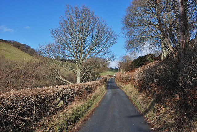
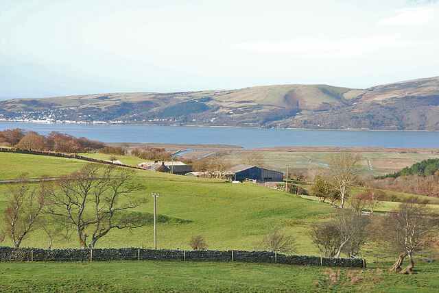
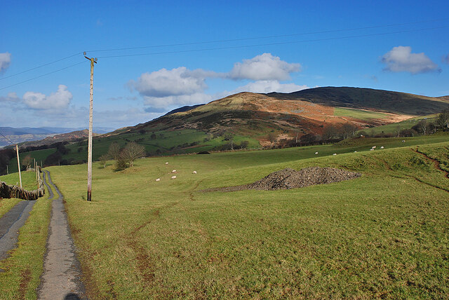
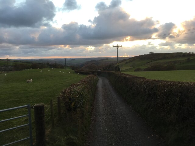
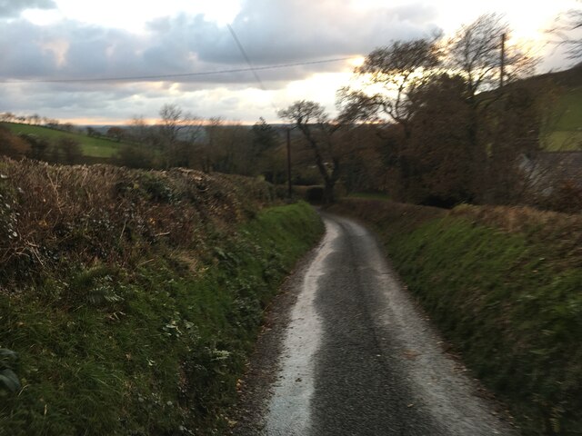
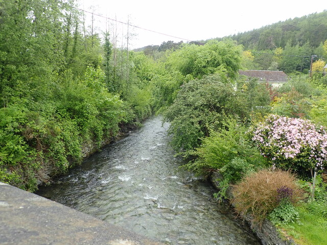
Wennallt is a region located in the county of Cardiganshire in Wales. It is known for its beautiful downs and moorland landscapes, which attract many nature enthusiasts and hikers. Covering an area of approximately 100 square kilometers, Wennallt offers stunning panoramic views of rolling hills, open fields, and heather-covered moorlands.

The region is characterized by its diverse wildlife and plant species. It is home to a variety of bird species, including the red kite, buzzard, and skylark, making it a popular spot for bird-watching. The moorland is also covered in heather, which blooms in vibrant purples during the summer months, creating a picturesque sight.

The rugged terrain of Wennallt provides an ideal setting for outdoor activities such as hiking, cycling, and horse riding. There are numerous trails and paths that wind through the downs and moorland, offering visitors the opportunity to explore the area's natural beauty. Additionally, there are several designated picnic areas, allowing visitors to take a break and enjoy the stunning surroundings.

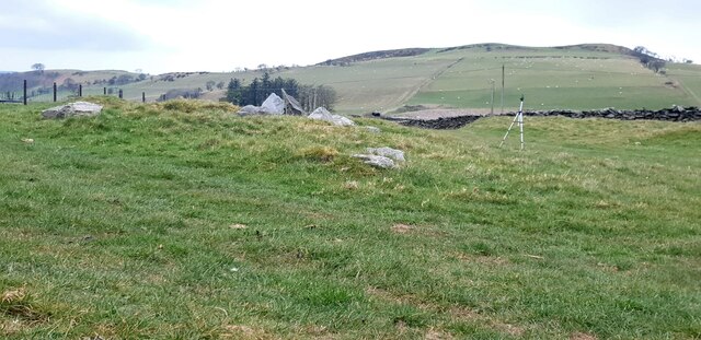
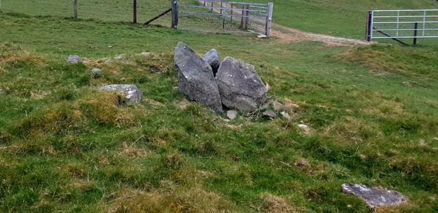
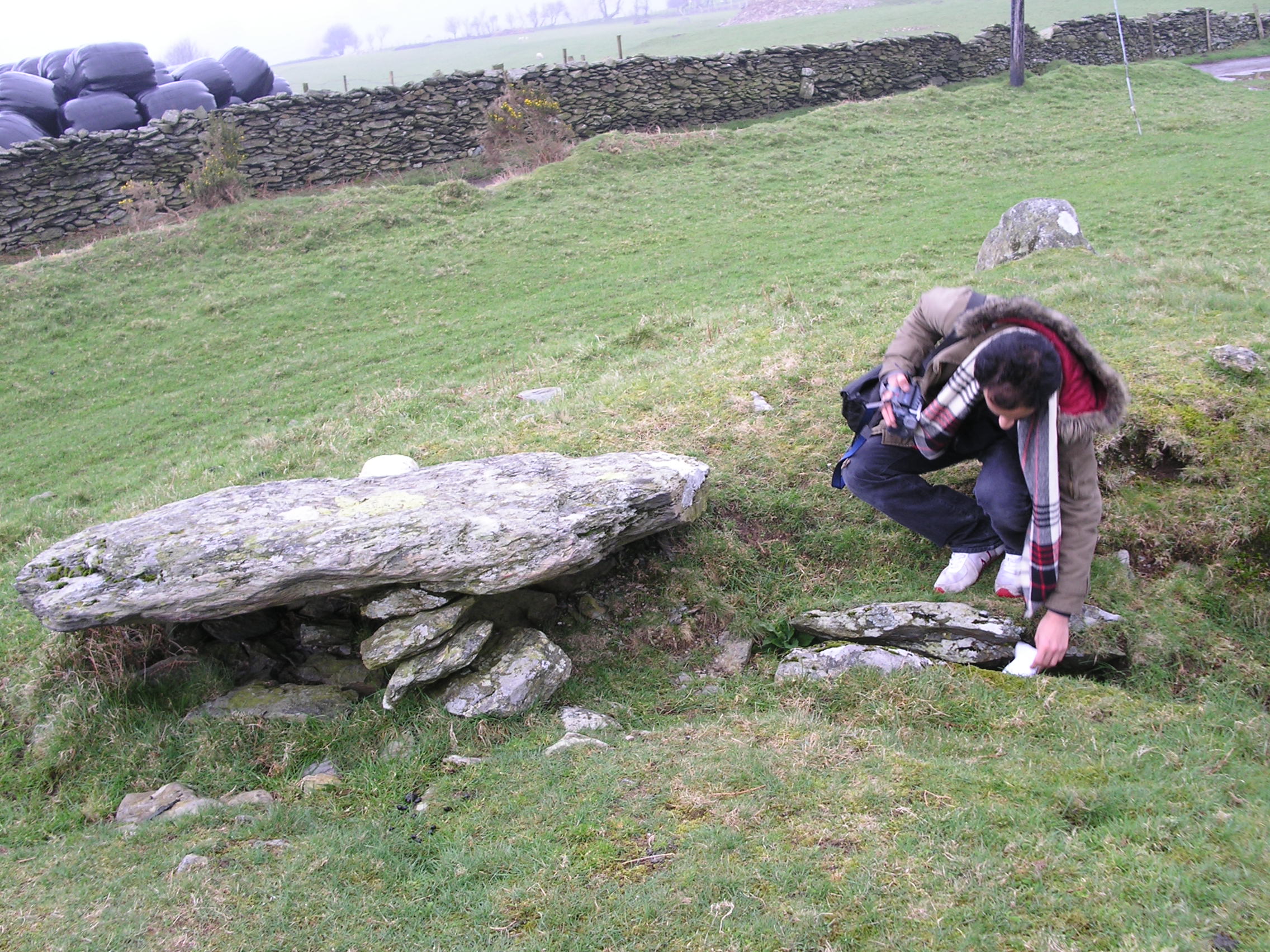
The region is also rich in history, with several ancient burial mounds and stone circles scattered throughout the landscape. These archaeological sites offer insights into the area's past and attract history enthusiasts.

Overall, Wennallt in Cardiganshire is a haven for nature lovers, offering breathtaking views, diverse wildlife, and a range of outdoor activities. Whether it's exploring the moorland, observing birds, or immersing oneself in the region's history, Wennallt has something to offer for everyone.

If you have any feedback on the listing, please let us know in the comments section below.
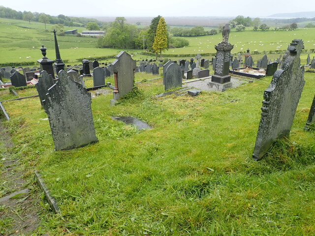
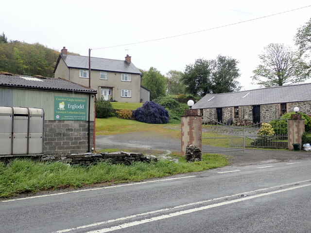
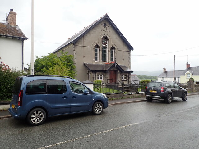
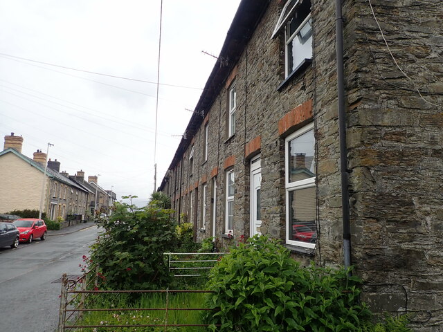
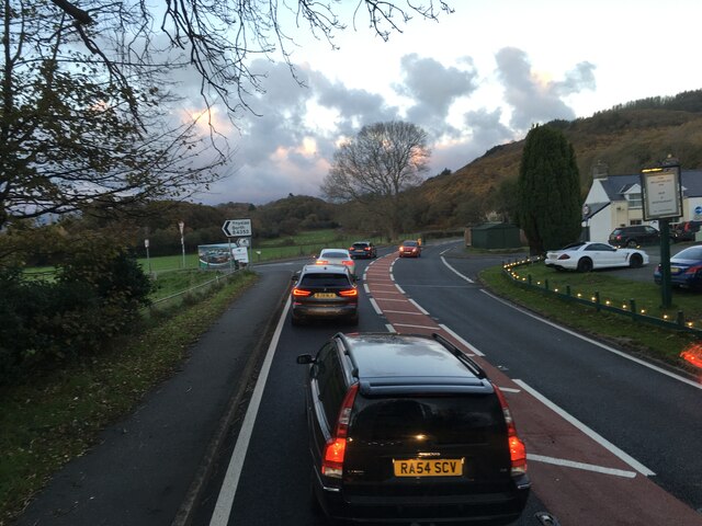
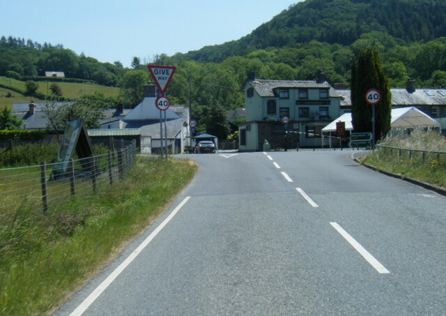
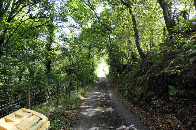
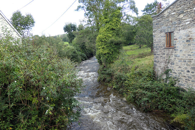
Wennallt Images

Images are sourced within 2km of 52.497823/-3.9697737 or Grid Reference SN6690. Thanks to Geograph Open Source API. All images are credited.

Tal-y-Bont Cemetery On a hillside on the northern side of the village. The brown expanse in the distance is Cors Fochno
Tal-y-Bont Cemetery
On a hillside on the northern side of the village. The brown expanse in the distance is Cors Fochno
Erglodd farm
Erglodd farm
Capel Rehoboth, Tre Taliesin Welsh Calvinistic Methodist chapel
Capel Rehoboth, Tre Taliesin
Welsh Calvinistic Methodist chapel
Terraced housing, Tre Taliesin
Lane climbing up Cwm Slaid The old coach road, seen climbing away north from Talybont.
Lane climbing up Cwm Slaid
The old coach road, seen climbing away north from Talybont.
View to the Dyfi estuary Looking over Gwar-cwm-isaf farm,
View to the Dyfi estuary
Looking over Gwar-cwm-isaf farm,
Foel Goch seen from Bedd Taliesin
Bedd Taliesin Bedd Taliesin, a round-kerb cairn in Ceredigion, Wales is rumoured to be the legendary grave of the esteemed 6th-century Welsh poet Taliesin, Chief Bard of the Island of Britain.
Bedd Taliesin
Bedd Taliesin, a round-kerb cairn in Ceredigion, Wales is rumoured to be the legendary grave of the esteemed 6th-century Welsh poet Taliesin, Chief Bard of the Island of Britain.
Bedd Taliesin Round-kerb cairn in Ceredigion, Wales rumoured to be the legendary grave of the esteemed 6th-century Welsh poet Taliesin, Chief Bard of the Island of Britain
Bedd Taliesin
Round-kerb cairn in Ceredigion, Wales rumoured to be the legendary grave of the esteemed 6th-century Welsh poet Taliesin, Chief Bard of the Island of Britain
Soar Wesleyan Methodist Chapel - yr Hen Gapel Built in the early 1800's, it was converted to a Sunday School in 1877.
Soar Wesleyan Methodist Chapel - yr Hen Gapel
Built in the early 1800's, it was converted to a Sunday School in 1877.
Minor road near Tre Taliesin
Minor road towards Tal-y-Bont
Junctions on the A487 at Tre’r-Ddol
B4353 at the A487 junction
Minor road leading to Bwlch Garw Also forms part of the Borth to Devil's Bridge Trail.
Minor road leading to Bwlch Garw
Also forms part of the Borth to Devil's Bridge Trail.
Afon Leri Viewed from Pont Talybont.
Afon Leri
Viewed from Pont Talybont.
Afon Leri River Heading towards the Dovey estuary at Traeth Maelgwyn
Afon Leri River
Heading towards the Dovey estuary at Traeth Maelgwyn
Y Lolfa, Tal-y-Bont HQ of the Welsh  printing and publishing company. Founded in 1967 by Robat Gruffudd, it publishes books in both Welsh and English. It has adopted a deliberate policy of not adapting books from other languages in order to support Welsh artists and authors.
Y Lolfa, Tal-y-Bont
HQ of the Welsh printing and publishing company. Founded in 1967 by Robat Gruffudd, it publishes books in both Welsh and English. It has adopted a deliberate policy of not adapting books from other languages in order to support Welsh artists and authors.
Show me another place!

Wennallt is located at Grid Ref: SN6690 (Lat: 52.497823, Lng: -3.9697737)

Unitary Authority: Ceredigion

Police Authority: Dyfed Powys

What 3 Words

///thousands.handlebar.limped. Near Borth, Ceredigion

Nearby Locations

Wennallt Coed Pen-y-banc

Related Wikis

Bedd Taliesin

Bedd Taliesin is the legendary grave (bedd) of the poet Taliesin, located in Ceredigion, Wales. The Bronze Age round cairn is a listed Historic Monument...

Tre-Taliesin

Tre-Taliesin is a village in Ceredigion on the A487 road, 9 miles north of Aberystwyth, Wales, and 9 miles south of Machynlleth. It is in the parish of...

Coed Cwm Clettwr

Coed Cwm Clettwr is a Site of Special Scientific Interest in Ceredigion, west Wales. It is designated for mature broadleaf woodland.The alternative spelling...

Tal-y-bont, Ceredigion

Tal-y-bont (also known as Talybont) is a village in Ceredigion, Wales, located on the A487 road about halfway between Aberystwyth and Machynlleth. At the...

Neuaddyrynys

Neuaddyrynys is a small village in the community of Llangynfelyn, Ceredigion, Wales, which is 78.9 miles (127 km) from Cardiff and 178.2 miles (286.7...

Ceulanamaesmawr

Ceulanamaesmawr is a community in Ceredigion, Wales, consisting of Tal-y-bont, Bont-goch and the surrounding area. The total population at the United...

Llangynfelyn

Llangynfelyn is both a parish and a community in Ceredigion, Wales, midway between Aberystwyth and Machynlleth. It stretches from the Leri estuary in...

Craig-y-penrhyn

Craig-y-penrhyn is a hamlet in the community of Llangynfelyn, Ceredigion, Wales, which is 79.3 miles (127.7 km) from Cardiff and 178.1 miles (286.6 km...

Nearby Amenities

Located within 500m of 52.497823,-3.9697737
Building: yes
Lat/Long: 52.4989382/-3.9763492
Place: farm
Lat/Long: 52.4969423/-3.9696345
Power: pole
Lat/Long: 52.4933687/-3.9692295
Power: pole
Lat/Long: 52.493937/-3.9687681
Power: pole
Lat/Long: 52.4948662/-3.9680252
Power: pole
Lat/Long: 52.4957839/-3.9672902
Power: pole
Lat/Long: 52.4966886/-3.9665768
Power: pole
Lat/Long: 52.4983901/-3.9665714
Power: pole
Lat/Long: 52.4991445/-3.9652491
Power: pole
Lat/Long: 52.4995707/-3.964482
Power: pole
Lat/Long: 52.4994858/-3.964144
Power: pole
Lat/Long: 52.4976357/-3.9658338
Power: pole
Lat/Long: 52.4989518/-3.9647636
Power: pole
Lat/Long: 52.4995152/-3.9642915
Power: pole
Lat/Long: 52.5001454/-3.9637846
The data included in this document is from www.openstreetmap.org. The data is made available under ODbL.

Have you been to Wennallt?

Leave your review of Wennallt below (or comments, questions and feedback).