Rhaeadr Du
Waterfall in Merionethshire
Wales
Rhaeadr Du
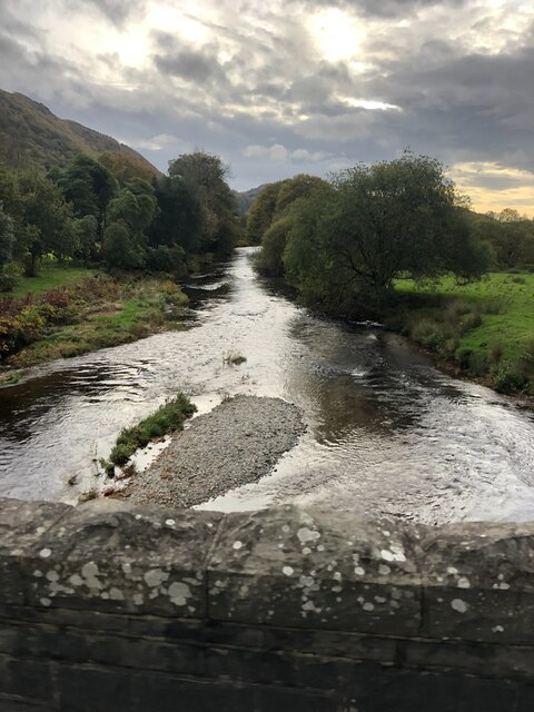
Rhaeadr Du, also known as the Black Waterfall, is a stunning natural wonder located in Merionethshire, Wales. This captivating waterfall is situated in the scenic and remote Cwm Pennant valley, making it a popular destination for nature enthusiasts and hikers alike.
The Rhaeadr Du waterfall is renowned for its impressive height, with water cascading down a sheer rock face for approximately 100 feet. The water originates from the Afon Dwyfor river, which flows through the valley, adding to the beauty and serenity of the surroundings. The name "Rhaeadr Du" translates to "Black Waterfall" in Welsh, a fitting name for this majestic sight.
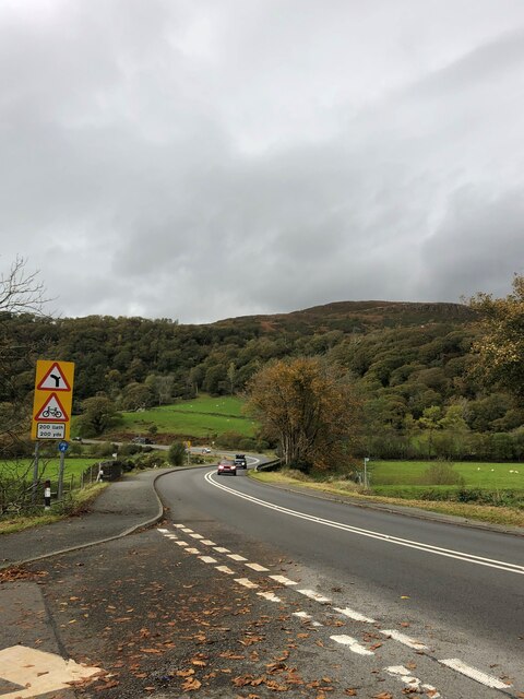
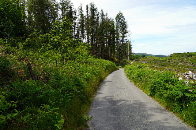
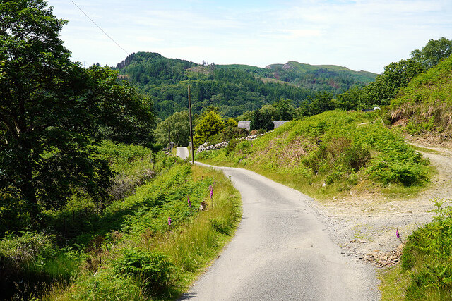
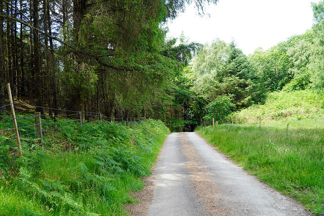
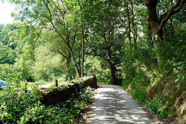
Visitors can access the waterfall via a well-maintained footpath, which winds through lush greenery and offers breathtaking views of the surrounding mountains and valleys. The area around Rhaeadr Du is rich in flora and fauna, with various species of birds, butterflies, and wildflowers found in abundance.
The waterfall provides an excellent opportunity for photographers, as the powerful rush of water and the picturesque backdrop create a mesmerizing scene. Additionally, the sound of the water crashing against the rocks adds to the overall sensory experience, making it a truly immersive natural attraction.
While Rhaeadr Du is a relatively remote location, it is worth the journey for those seeking a peaceful and awe-inspiring encounter with nature.
If you have any feedback on the listing, please let us know in the comments section below.
Rhaeadr Du Images
Images are sourced within 2km of 52.930211/-3.9848178 or Grid Reference SH6638. Thanks to Geograph Open Source API. All images are credited.
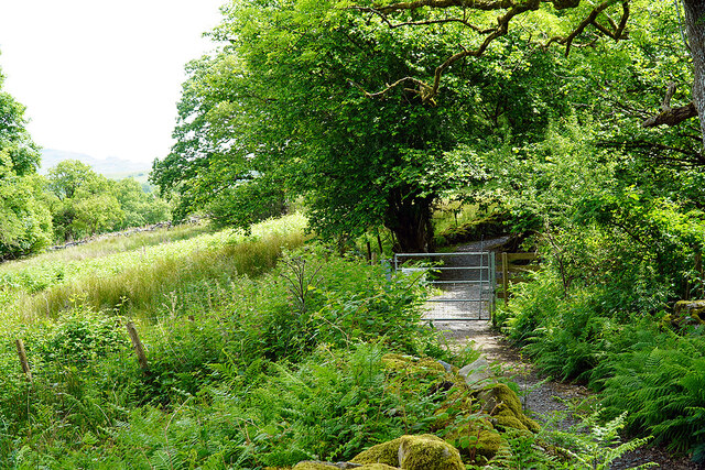
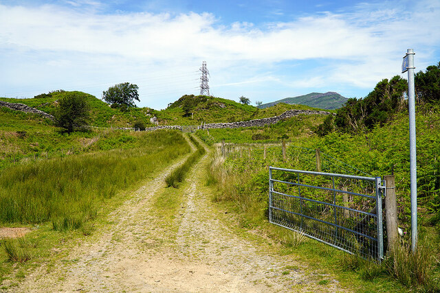
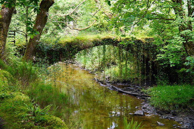
![Gate on the Cambrian Way Here the long distance path runs by the grounds of Cae Einion Alan [residential house]. To the left is cycle route 82 which emerges by the Trawsfynydd power station building.](https://s2.geograph.org.uk/geophotos/07/20/25/7202558_786f0e66.jpg)
Rhaeadr Du is located at Grid Ref: SH6638 (Lat: 52.930211, Lng: -3.9848178)
Unitary Authority: Gwynedd
Police Authority: North Wales
What 3 Words
///diner.eyebrows.alley. Near Maentwrog, Gwynedd
Related Wikis

Coed Camlyn National Nature Reserve
Coed Camlyn National Nature Reserve is a nature reserve located south of the village of Maentwrog in Gwynedd, Wales. Rising steeply from the River Dwyryd...
Maentwrog power station
Maentwrog power station was built by the North Wales Power Company and supplied electricity to North Wales, Deeside and Cheshire. It exploits the water...
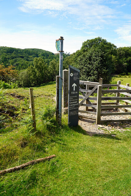
Ceunant Llennyrch National Nature Reserve
Ceunant Llennyrch National Nature Reserve is one of several woodland reserves in the Vale of Ffestiniog in Gwynedd, Wales and runs from Llyn Trawsfynydd...

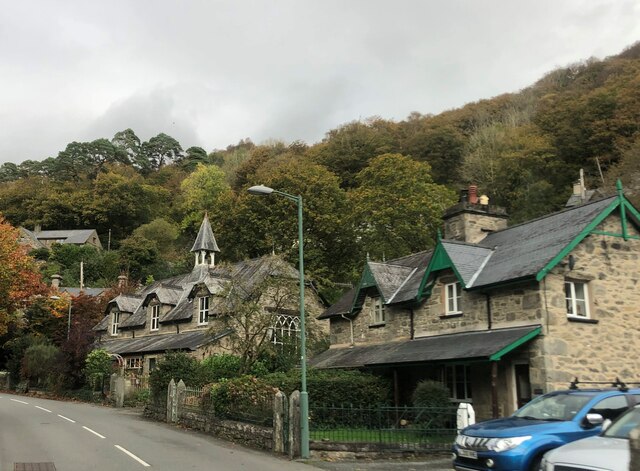
Maentwrog
Maentwrog () is a village and community in the Welsh county of Merionethshire (now part of Gwynedd), lying in the Vale of Ffestiniog just below Blaenau...

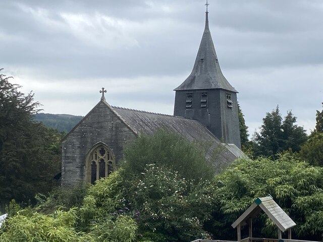
St Twrog's Church, Maentwrog
Saint Twrog's Church is in the village of Maentwrog in the Welsh county of Gwynedd, lying in the Vale of Ffestiniog, within the Snowdonia National Park...

Gellilydan
Gellilydan () is a village in the Welsh county of Gwynedd, in Maentwrog community. It lies 4 miles (6.4 km) south-south-east of Blaenau Ffestiniog. The...

Tan-y-Bwlch, Maentwrog
Tan-y-Bwlch (Welsh for Under the pass/gap) lies in the Snowdonia National Park in North Wales and is primarily known as the location of Tan-y-Bwlch railway...

Vale of Ffestiniog
The Vale of Ffestiniog is a valley in the Snowdonia National Park in Gwynedd, North Wales. It stretches from Ffestiniog in the east and runs in a westerly...
Nearby Amenities
Located within 500m of 52.930211,-3.9848178Have you been to Rhaeadr Du?
Leave your review of Rhaeadr Du below (or comments, questions and feedback).