Cadha an Fhèidh

Waterfall in Inverness-shire

Scotland

Cadha an Fhèidh

Creag Dhubh summit viewing the upper Spey Valley Looking down by the cairn upon the River Spey near Glentruim. Cruban Beag is the small wooded peak in the centre. The A9 highway is visible left-centre.
Creag Dhubh summit viewing the upper Spey Valley Credit: Kim McGillivray

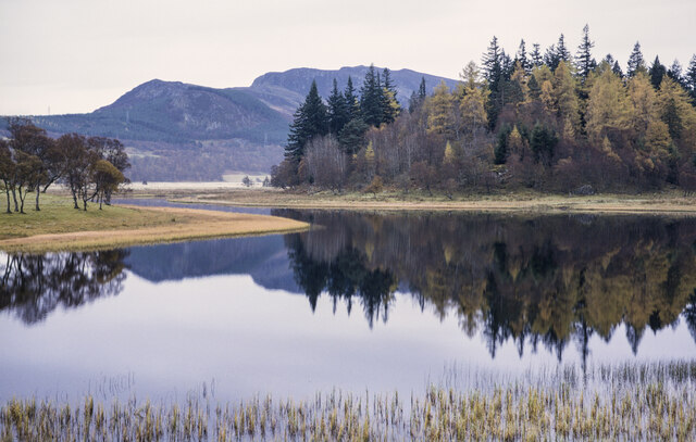
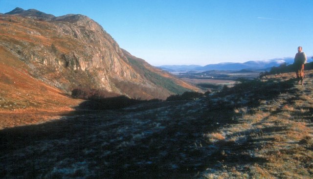
Cadha an Fhèidh, also known as the Falls of Feith, is a breathtaking waterfall located in Inverness-shire, Scotland. It is situated in the picturesque Glen Affric, which is renowned for its stunning natural beauty and is often referred to as the "Jewel of the Highlands."

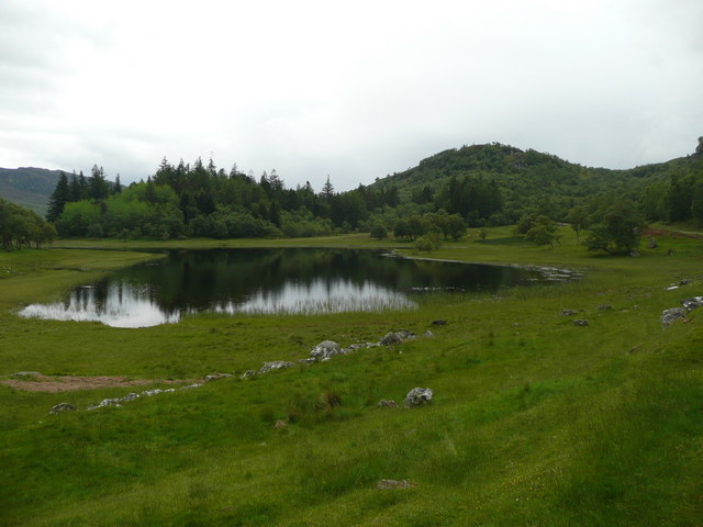
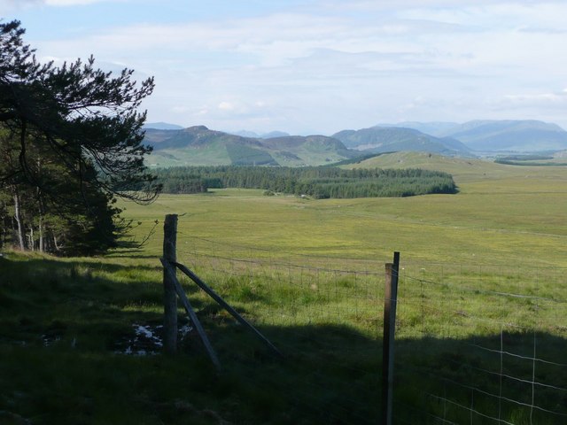
The waterfall is formed by the River Affric cascading down a series of rocky steps, creating a mesmerizing display of rushing water and mist. The falls are surrounded by lush greenery, including ancient Caledonian pine forests and vibrant heather-covered hills, adding to the enchanting atmosphere of the area.

Cadha an Fhèidh is a popular destination for nature lovers, hikers, and photographers, who are drawn to its tranquil surroundings and dramatic scenery. The waterfall can be accessed via a well-maintained footpath, providing visitors with the opportunity to admire the falls up close and capture stunning photographs.

The area surrounding Cadha an Fhèidh is teeming with wildlife, including red deer, ospreys, and golden eagles, making it a haven for nature enthusiasts. The falls are also a great spot for picnicking and relaxation, with several viewing spots and benches available for visitors to enjoy the peaceful ambiance.

Overall, Cadha an Fhèidh is a captivating waterfall that showcases the natural beauty of Inverness-shire. Its idyllic setting, combined with the sound of cascading water and the abundance of wildlife, make it a must-visit destination for those seeking a true Scottish Highlands experience.

If you have any feedback on the listing, please let us know in the comments section below.

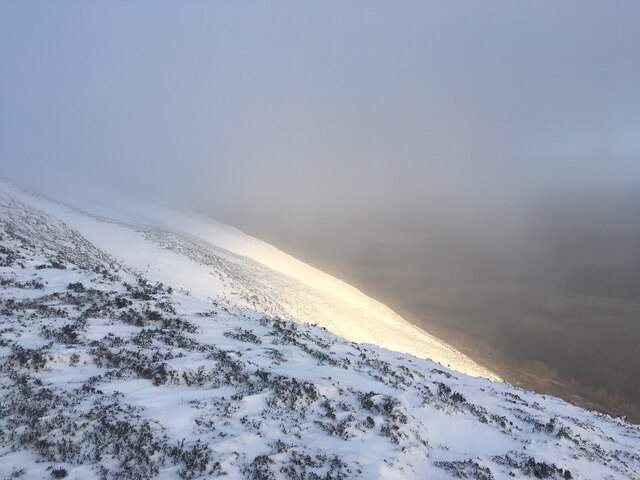
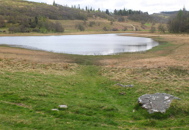
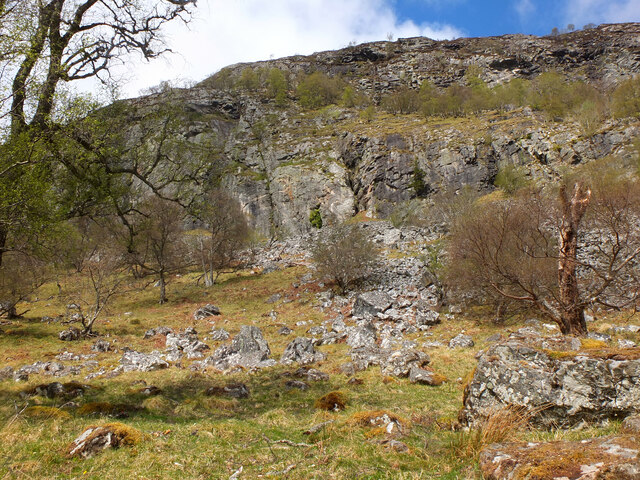
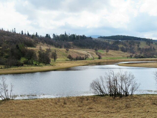
Cadha an Fhèidh Images

Images are sourced within 2km of 57.033994/-4.1941636 or Grid Reference NN6695. Thanks to Geograph Open Source API. All images are credited.

Creag Dhubh summit viewing the upper Spey Valley Looking down by the cairn upon the River Spey near Glentruim. Cruban Beag is the small wooded peak in the centre. The A9 highway is visible left-centre.
Creag Dhubh summit viewing the upper Spey Valley
Looking down by the cairn upon the River Spey near Glentruim. Cruban Beag is the small wooded peak in the centre. The A9 highway is visible left-centre.
Path on Creag Dhubh, Newtonmore Descending the NE ridge through heather and rocks.
Path on Creag Dhubh, Newtonmore
Descending the NE ridge through heather and rocks.
Snow covered cairn of Creag Dhubh
Summit ridge of Creag Dhubh
Steep snow covered slopes of Creag Dhubh
Lochain Uvie The westmost of the two lochans near the River Spey.
Lochain Uvie
The westmost of the two lochans near the River Spey.
Creag Dubh Steep rock by the roadside, so this crag has attracted climbers and has a number of routes in the higher grades.
Creag Dubh
Steep rock by the roadside, so this crag has attracted climbers and has a number of routes in the higher grades.
Lochain Uvie Attractive small loch close by the A86.
Lochain Uvie
Attractive small loch close by the A86.
‘Centre of Scotland’ stone, Glentruim
Lochain Uvie Calm conditions allow an almost mirror-like surface to this small sheet of water on the south side of the A86.
Cruban Beag is the mountain beyond the trees.
Lochain Uvie
Calm conditions allow an almost mirror-like surface to this small sheet of water on the south side of the A86. Cruban Beag is the mountain beyond the trees.
Centre of Scotland? <span class="nowrap"><a title="https://en.wikipedia.org/wiki/Geographical_centre_of_Scotland" rel="nofollow ugc noopener" href="https://en.wikipedia.org/wiki/Geographical_centre_of_Scotland">Link</a><img style="margin-left:2px;" alt="External link" title="External link - shift click to open in new window" src="https://s1.geograph.org.uk/img/external.png" width="10" height="10"/></span>
Centre of Scotland?
Road near Centre of Scotland stone
Creag Dhubh Popular climbing crag
Creag Dhubh
Popular climbing crag
Southwest ridge of Creag Dhubh View to Strath Spey
Southwest ridge of Creag Dhubh
View to Strath Spey
Lochain Uvie On a dreich day!
Lochain Uvie
On a dreich day!
Line of old dry stone wall  The memorial on Creag Ruadh on the horizon.
Line of old dry stone wall
The memorial on Creag Ruadh on the horizon.
Deer fencing at edge of Coille Chluanaidh Looking across rough grazing to Creag Bhile.
Deer fencing at edge of Coille Chluanaidh
Looking across rough grazing to Creag Bhile.
Stile over deer fence With the bealach between Binnein Mor and Creag Shiaraidh in the distance.
Stile over deer fence
With the bealach between Binnein Mor and Creag Shiaraidh in the distance.
Show me another place!

Cadha an Fhèidh is located at Grid Ref: NN6695 (Lat: 57.033994, Lng: -4.1941636)

Unitary Authority: Highland

Police Authority: Highlands and Islands

What 3 Words

///rarely.promises.suitably. Near Newtonmore, Highland

Related Wikis

River Truim

The River Truim (Abhainn Truim in Gaelic) is a right bank tributary of the River Spey in the Scottish Highlands. Its headwaters meet to the north of the...

Creag Dhubh (Newtonmore)

Creag Dhubh (756 m) is a mountain in the Grampian Mountains of Scotland. It is located in the Strathspey area of the central Highlands, above the village...

Battle of Invernahavon

The Battle of Invernahavon was a Scottish clan battle between the Clan Cameron and the confederation of Clan Chattan that consisted of the Clan Mackintosh...

Etteridge

Etteridge (Scottish Gaelic: Eadrais) is a small remote hamlet, situated close to Loch Etteridge in Inverness-shire, Scottish Highlands and is in the Scottish...

Nearby Amenities

Located within 500m of 57.033994,-4.1941636
Cadha an Fheidh
Waterway: waterfall
Lat/Long: 57.0341445/-4.1942678
Uamh Chluanaidh
Name En: Cluny's Cave
Natural: cave_entrance
Source: local_knowledge;OS7;OS_OpenData_StreetView
Lat/Long: 57.0361853/-4.1875512
The data included in this document is from www.openstreetmap.org. The data is made available under ODbL.

Have you been to Cadha an Fhèidh?

Leave your review of Cadha an Fhèidh below (or comments, questions and feedback).