Llech-y-cwrn Covert

Wood, Forest in Merionethshire

Wales

Llech-y-cwrn Covert

St Twrog's Parish Church, Maentwrog
St Twrog's Parish Church, Maentwrog Credit: John H Darch

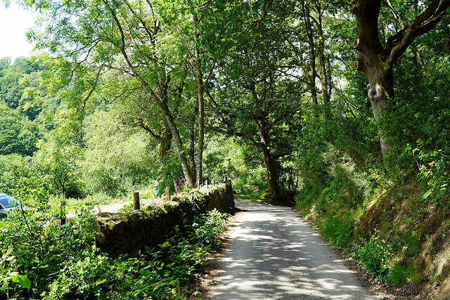
Llech-y-cwrn Covert is a woodland area located in Merionethshire, Wales. Covering an approximate area of 200 acres, it is a significant natural attraction in the region. The covert is nestled within the picturesque landscape of the Snowdonia National Park, offering visitors a serene and tranquil environment.

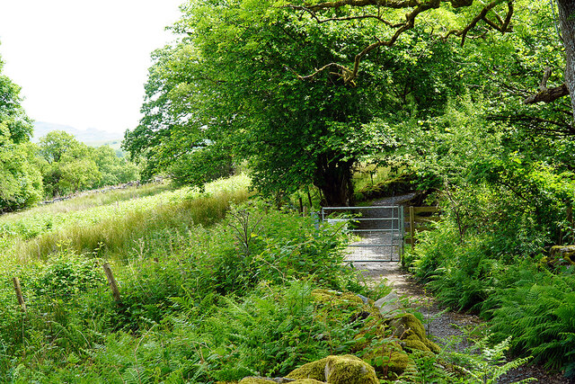
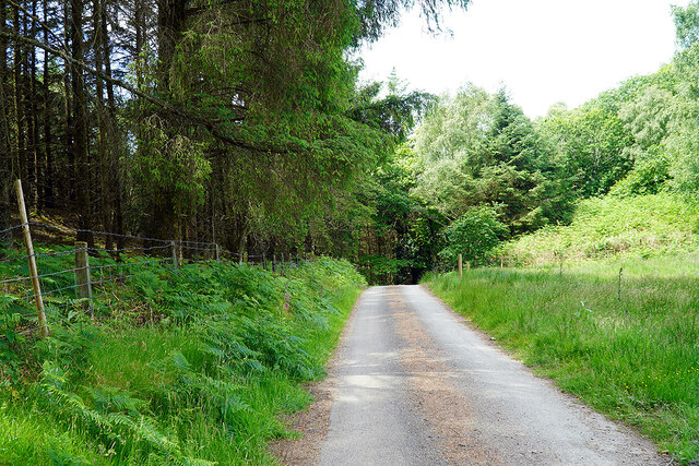
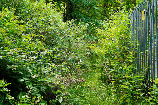
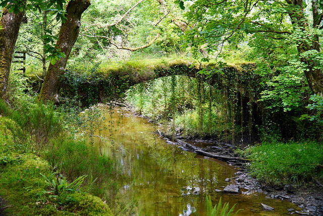
The woodland is characterized by its diverse range of tree species, including oak, beech, and birch. These trees provide a dense canopy, resulting in a shaded and cool atmosphere during the summer months. The forest floor is covered in a rich carpet of mosses, ferns, and wildflowers, adding to the enchanting ambiance of the area.

Llech-y-cwrn Covert is home to a variety of wildlife species, making it a popular spot for nature enthusiasts and birdwatchers. Visitors may be fortunate enough to spot red squirrels, badgers, and a wide range of birds such as woodpeckers, owls, and warblers. The covert also serves as a habitat for several protected species, including the rare lesser horseshoe bat.

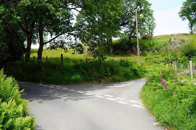
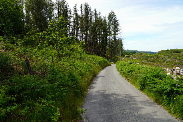
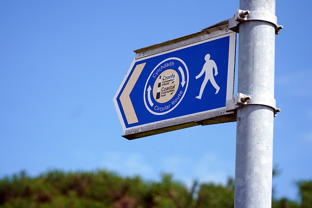
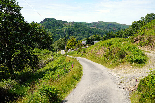
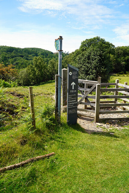
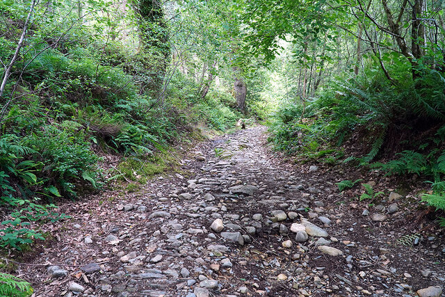
The woodland is crisscrossed by a network of walking trails, allowing visitors to explore its beauty at their own pace. These trails lead through ancient groves, babbling brooks, and open meadows, offering breathtaking views of the surrounding countryside.

Overall, Llech-y-cwrn Covert is a haven of tranquility and natural beauty. Whether one seeks a peaceful walk, birdwatching opportunities, or simply a place to escape the hustle and bustle of everyday life, this woodland provides a welcome retreat for all who visit.

If you have any feedback on the listing, please let us know in the comments section below.

Llech-y-cwrn Covert Images

Images are sourced within 2km of 52.929489/-3.9801277 or Grid Reference SH6638. Thanks to Geograph Open Source API. All images are credited.
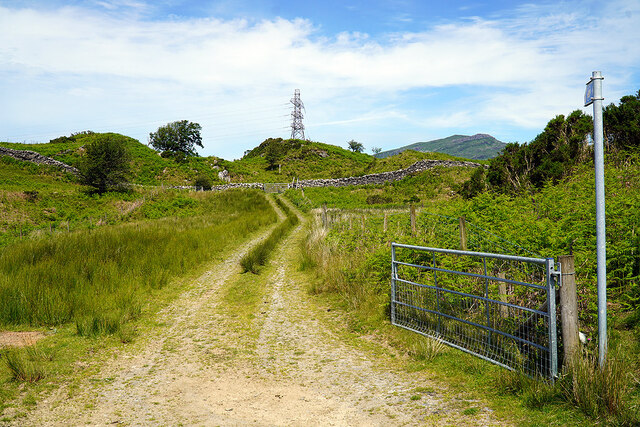
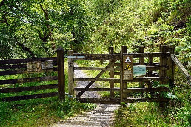
St Twrog's Parish Church, Maentwrog
The Old School, Maentwrog Grade II listed late C19 school in the centre of the village
The Old School, Maentwrog
Grade II listed late C19 school in the centre of the village
A road out from Gellilydan Leads to the A487 road.
A road out from Gellilydan
Leads to the A487 road.
Coed y Llwyn Houses on the edge of Gellilydan. The minor road on the right runs over the hills and joins the A496 road near Maentwrog power station <a href="https://www.geograph.org.uk/gridref/SH65423962">SH65423962</a>.
Coed y Llwyn
Houses on the edge of Gellilydan. The minor road on the right runs over the hills and joins the A496 road near Maentwrog power station SH65423962.
Gate on the Cambrian Way Here the long distance path runs by the grounds of Cae Einion Alan [residential house]. To the left is cycle route 82 which emerges by the Trawsfynydd power station building.
Gate on the Cambrian Way
Here the long distance path runs by the grounds of Cae Einion Alan [residential house]. To the left is cycle route 82 which emerges by the Trawsfynydd power station building.
Gate on cycle route 82 The route leads to Trawfynydd power station and beyond.
Gate on cycle route 82
The route leads to Trawfynydd power station and beyond.
On the Cambrian Way - briefly The Cambrian Way branches here, heading for Maentwrog. My route is to the left, heading for Ivy Bridge to cross Afon Prysor.
On the Cambrian Way - briefly
The Cambrian Way branches here, heading for Maentwrog. My route is to the left, heading for Ivy Bridge to cross Afon Prysor.
Mountain road through Coed Pennyglannau Most of the forestry on the right has been clear-felled.
Mountain road through Coed Pennyglannau
Most of the forestry on the right has been clear-felled.
Track leading to Ty'n-y-bryn A farm track, not marked as a right of way, nor is it access land. However, it does converge with a public path by the wall ahead, hence the ladder stile. The path eventually joins the Cambrian Way, between Maentwrog and Gellilydan, by a somewhat meandering route. The track now forms part of the new Maentwrog Circular walk <span class="nowrap"><a title="https://www.visitsnowdonia.info/maentwrog-circular-walk" rel="nofollow ugc noopener" href="https://www.visitsnowdonia.info/maentwrog-circular-walk">Link</a><img style="margin-left:2px;" alt="External link" title="External link - shift click to open in new window" src="https://s1.geograph.org.uk/img/external.png" width="10" height="10"/></span>
Track leading to Ty'n-y-bryn
A farm track, not marked as a right of way, nor is it access land. However, it does converge with a public path by the wall ahead, hence the ladder stile. The path eventually joins the Cambrian Way, between Maentwrog and Gellilydan, by a somewhat meandering route. The track now forms part of the new Maentwrog Circular walk LinkExternal link
Waymarker for the new Maentwrog Circular Route A new walk of some 10½ miles, encompassing Maentwrog, Tan-y-bwlch, Penrhynseudraeth, Llandecwyn and back to Maentwrog <span class="nowrap"><a title="https://www.visitsnowdonia.info/maentwrog-circular-walk" rel="nofollow ugc noopener" href="https://www.visitsnowdonia.info/maentwrog-circular-walk">Link</a><img style="margin-left:2px;" alt="External link" title="External link - shift click to open in new window" src="https://s1.geograph.org.uk/img/external.png" width="10" height="10"/></span>
Waymarker for the new Maentwrog Circular Route
A new walk of some 10½ miles, encompassing Maentwrog, Tan-y-bwlch, Penrhynseudraeth, Llandecwyn and back to Maentwrog LinkExternal link
Uplands road leading to Maentwrog power station
Road through Coed Felenrhyd Bach Eventually leading down into Cwm Prysor and joining the A496 by Maentwrog Power Station.
Road through Coed Felenrhyd Bach
Eventually leading down into Cwm Prysor and joining the A496 by Maentwrog Power Station.
Access gate to Ceunant Llennyrch A National (Wales) nature Reserve.
Access gate to Ceunant Llennyrch
A National (Wales) nature Reserve.
Road by Felen Rhyd Fach Approaching Maentwrog power station and the junction with the A496.
Road by Felen Rhyd Fach
Approaching Maentwrog power station and the junction with the A496.
Path leading to Ivy Bridge Once an important thoroughfare, leading to the old crossing of Afon Prysor. Now seemingly little used, given the state of the overgrowth. The fence marks the boundary of the Maentwrog power station site.
Path leading to Ivy Bridge
Once an important thoroughfare, leading to the old crossing of Afon Prysor. Now seemingly little used, given the state of the overgrowth. The fence marks the boundary of the Maentwrog power station site.
Ivy Bridge across Afon Prysor Grade II listed, on the packhorse route from Maentwrog to Harlech. CADW <span class="nowrap"><a title="https://cadwpublic-api.azurewebsites.net/reports/listedbuilding/FullReport?lang=en&id=83453" rel="nofollow ugc noopener" href="https://cadwpublic-api.azurewebsites.net/reports/listedbuilding/FullReport?lang=en&id=83453">Link</a><img style="margin-left:2px;" alt="External link" title="External link - shift click to open in new window" src="https://s1.geograph.org.uk/img/external.png" width="10" height="10"/></span> has it as being C18 or earlier. Other reports show that it is as early as C16.
Ivy Bridge across Afon Prysor
Grade II listed, on the packhorse route from Maentwrog to Harlech. CADW LinkExternal link has it as being C18 or earlier. Other reports show that it is as early as C16.
The old packhorse road leading up from Ivy Bridge Heading for Landecwyn and thence Harlech. A long pull up to the summit in Coed Felenrhyd. Now also forms a part of the Maentwrog Circular Walk <span class="nowrap"><a title="https://www.visitsnowdonia.info/maentwrog-circular-walk" rel="nofollow ugc noopener" href="https://www.visitsnowdonia.info/maentwrog-circular-walk">Link</a><img style="margin-left:2px;" alt="External link" title="External link - shift click to open in new window" src="https://s1.geograph.org.uk/img/external.png" width="10" height="10"/></span>. Was also on the original route of the Wales Coast Path, but that was rerouted when Pont Briwet <a href="https://www.geograph.org.uk/gridref/SH616383">SH616383</a> was rebuilt with a pedestrian footway and opened in 2015, thereby avoiding a long inland incursion. The old bridge was too narrow to allow safe passage of walkers <a href="https://www.geograph.org.uk/photo/606781">SH6138 : Pont Briwet Toll Road</a>.
The old packhorse road leading up from Ivy Bridge
Heading for Landecwyn and thence Harlech. A long pull up to the summit in Coed Felenrhyd. Now also forms a part of the Maentwrog Circular Walk LinkExternal link. Was also on the original route of the Wales Coast Path, but that was rerouted when Pont Briwet SH616383 was rebuilt with a pedestrian footway and opened in 2015, thereby avoiding a long inland incursion. The old bridge was too narrow to allow safe passage of walkers SH6138 : Pont Briwet Toll Road.
Gate on a pathway beside Afon Prysor Running through Coed Cae'n-y-coed. Signs on the gate warn of steep drops and water levels changing without warning.
Gate on a pathway beside Afon Prysor
Running through Coed Cae'n-y-coed. Signs on the gate warn of steep drops and water levels changing without warning.
Show me another place!

Llech-y-cwrn Covert is located at Grid Ref: SH6638 (Lat: 52.929489, Lng: -3.9801277)

Unitary Authority: Gwynedd

Police Authority: North Wales

What 3 Words

///precluded.growth.sending. Near Maentwrog, Gwynedd

Related Wikis

Ceunant Llennyrch National Nature Reserve

Ceunant Llennyrch National Nature Reserve is one of several woodland reserves in the Vale of Ffestiniog in Gwynedd, Wales and runs from Llyn Trawsfynydd...

Coed Camlyn National Nature Reserve

Coed Camlyn National Nature Reserve is a nature reserve located south of the village of Maentwrog in Gwynedd, Wales. Rising steeply from the River Dwyryd...
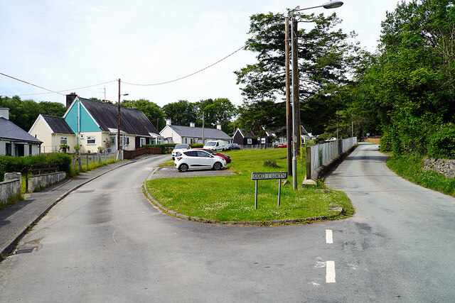
Gellilydan

Gellilydan () is a village in the Welsh county of Gwynedd, in Maentwrog community. It lies 4 miles (6.4 km) south-south-east of Blaenau Ffestiniog. The...

Maentwrog power station

Maentwrog power station was built by the North Wales Power Company and supplied electricity to North Wales, Deeside and Cheshire. It exploits the water...
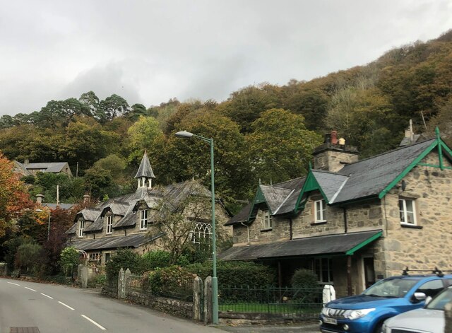
Maentwrog

Maentwrog () is a village and community in the Welsh county of Merionethshire (now part of Gwynedd), lying in the Vale of Ffestiniog just below Blaenau...

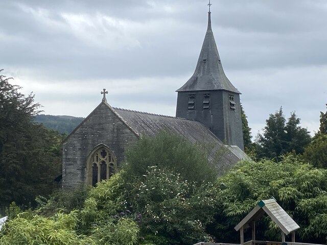
St Twrog's Church, Maentwrog

Saint Twrog's Church is in the village of Maentwrog in the Welsh county of Gwynedd, lying in the Vale of Ffestiniog, within the Snowdonia National Park...

Coed y Rhygen National Nature Reserve

Coed y Rhygen National Nature Reserve is located on the western shore of Llyn Trawsfynydd in Gwynedd, North Wales. As an example of Atlantic Rainforest...

Trawsfynydd nuclear power station

Trawsfynydd nuclear power station (Welsh: Atomfa Trawsfynydd) is a former Magnox nuclear power station situated in Snowdonia National Park in Gwynedd,...

Nearby Amenities

Located within 500m of 52.929489,-3.9801277
Power: tower
Source: Bing
Lat/Long: 52.9262392/-3.979069
Power: tower
Source: Bing
Lat/Long: 52.9269557/-3.9750101
Rhaeadr Ddu Waterfalls
Waterway: yes
Lat/Long: 52.9298562/-3.9850104
Barrier: stile
Bicycle: no
Foot: yes
Material: wood
Stile: stepover
Lat/Long: 52.92803/-3.98142
Ford: yes
Lat/Long: 52.9322429/-3.9837136
Barrier: stile
Bicycle: no
Foot: yes
Stile: squeezer
Lat/Long: 52.9273186/-3.9792572
Barrier: stile
Bicycle: yes
Foot: yes
Material: wood
Stile: stepover
Lat/Long: 52.9294096/-3.9854665
Waterway: waterfall
Lat/Long: 52.9301178/-3.9851242
Tourism: viewpoint
Lat/Long: 52.9302632/-3.9852546
Power: pole
Lat/Long: 52.9287918/-3.9745241
Power: pole
Lat/Long: 52.9287643/-3.9733922
Power: pole
Lat/Long: 52.9283413/-3.9748472
Power: pole
Lat/Long: 52.9277471/-3.9752804
The data included in this document is from www.openstreetmap.org. The data is made available under ODbL.

Have you been to Llech-y-cwrn Covert?

Leave your review of Llech-y-cwrn Covert below (or comments, questions and feedback).