Coed Cefn-faes
Wood, Forest in Merionethshire
Wales
Coed Cefn-faes
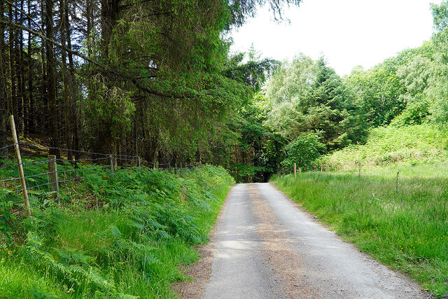
Coed Cefn-faes, located in Merionethshire, is a picturesque woodland area known for its natural beauty and rich biodiversity. The name "Cefn-faes" translates to "wood" or "forest" in English, which aptly describes the dominant feature of this region.
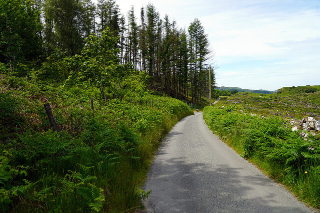
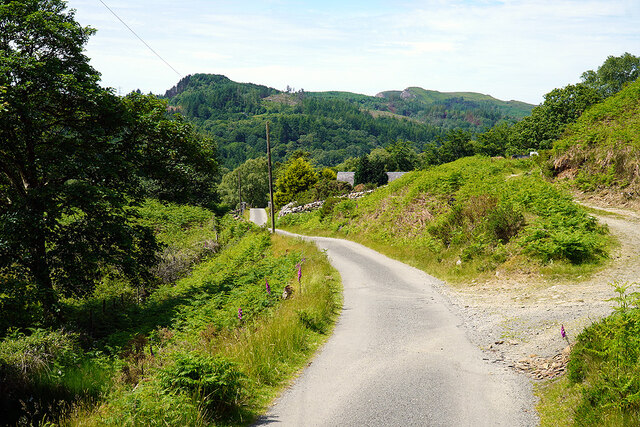
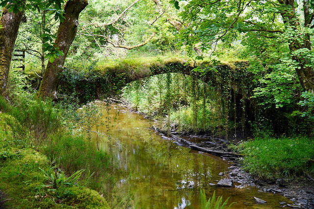
Covering an expansive area, Coed Cefn-faes is home to a diverse range of tree species, including oak, beech, birch, and pine. These trees create a dense canopy that provides shelter and food for a variety of wildlife. The forest floor is carpeted with an array of wildflowers, adding a splash of color to the landscape during the spring and summer months.
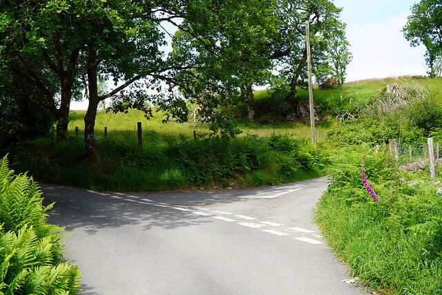
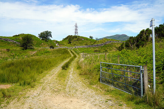
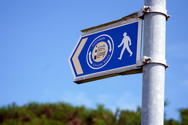
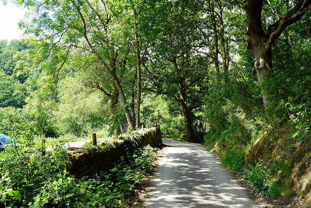
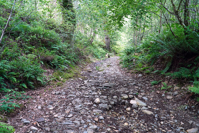
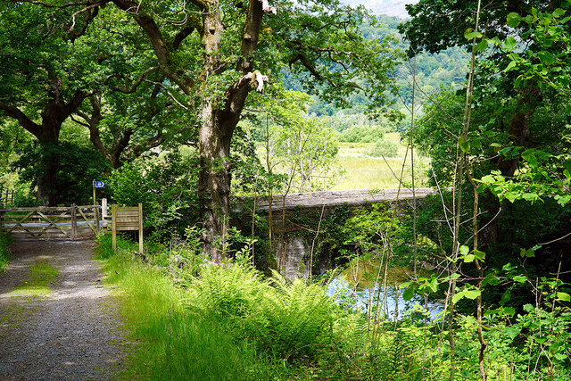
The woodland is crisscrossed by a network of walking trails, allowing visitors to explore the area at their own pace. These trails provide an opportunity to immerse oneself in the tranquil ambiance of the forest, and hikers may spot an array of wildlife along the way, including deer, foxes, and a variety of bird species.
Coed Cefn-faes also holds significant historical and cultural importance. It has been a part of the local community for centuries and has been used for timber production and recreational activities. The forest is managed by local authorities to maintain its ecological balance while ensuring it remains accessible to the public.
Visitors to Coed Cefn-faes can enjoy a peaceful retreat away from the hustle and bustle of urban life. Whether it's a leisurely stroll, birdwatching, or simply taking in the breathtaking natural surroundings, this woodland area offers a serene escape for nature enthusiasts and those seeking tranquility.
If you have any feedback on the listing, please let us know in the comments section below.
Coed Cefn-faes Images
Images are sourced within 2km of 52.927176/-3.9807809 or Grid Reference SH6638. Thanks to Geograph Open Source API. All images are credited.
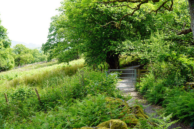
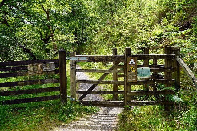
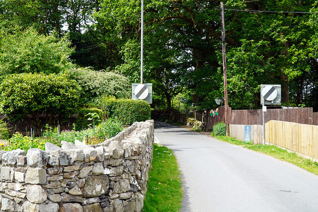
![Gate on the Cambrian Way Here the long distance path runs by the grounds of Cae Einion Alan [residential house]. To the left is cycle route 82 which emerges by the Trawsfynydd power station building.](https://s2.geograph.org.uk/geophotos/07/20/25/7202558_786f0e66.jpg)
Coed Cefn-faes is located at Grid Ref: SH6638 (Lat: 52.927176, Lng: -3.9807809)
Unitary Authority: Gwynedd
Police Authority: North Wales
What 3 Words
///fails.clotting.piled. Near Maentwrog, Gwynedd
Nearby Locations
Related Wikis
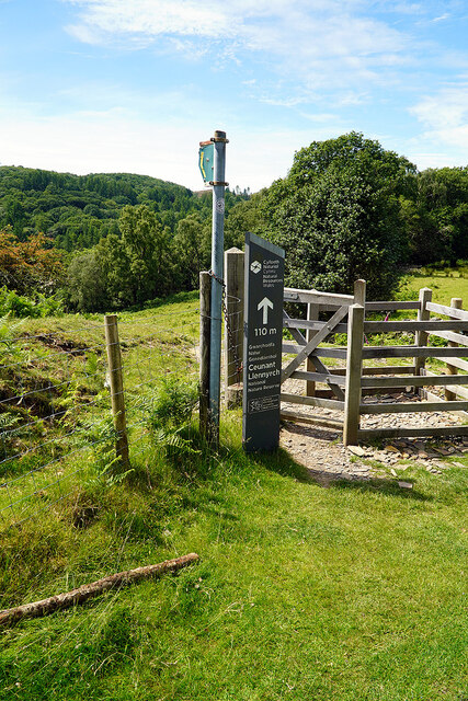
Ceunant Llennyrch National Nature Reserve
Ceunant Llennyrch National Nature Reserve is one of several woodland reserves in the Vale of Ffestiniog in Gwynedd, Wales and runs from Llyn Trawsfynydd...

Coed Camlyn National Nature Reserve
Coed Camlyn National Nature Reserve is a nature reserve located south of the village of Maentwrog in Gwynedd, Wales. Rising steeply from the River Dwyryd...
Coed y Rhygen National Nature Reserve
Coed y Rhygen National Nature Reserve is located on the western shore of Llyn Trawsfynydd in Gwynedd, North Wales. As an example of Atlantic Rainforest...
Maentwrog power station
Maentwrog power station was built by the North Wales Power Company and supplied electricity to North Wales, Deeside and Cheshire. It exploits the water...

Gellilydan
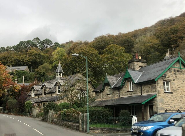
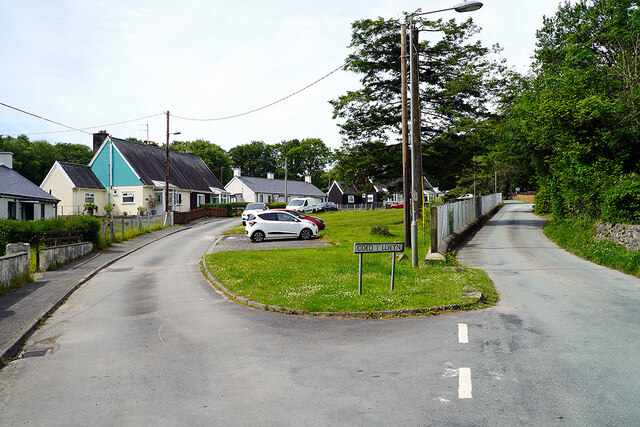
Gellilydan () is a village in the Welsh county of Gwynedd, in Maentwrog community. It lies 4 miles (6.4 km) south-south-east of Blaenau Ffestiniog. The...

Maentwrog
Maentwrog () is a village and community in the Welsh county of Merionethshire (now part of Gwynedd), lying in the Vale of Ffestiniog just below Blaenau...

St Twrog's Church, Maentwrog
Saint Twrog's Church is in the village of Maentwrog in the Welsh county of Gwynedd, lying in the Vale of Ffestiniog, within the Snowdonia National Park...

Trawsfynydd nuclear power station
Trawsfynydd nuclear power station (Welsh: Atomfa Trawsfynydd) is a former Magnox nuclear power station situated in Snowdonia National Park in Gwynedd,...
Nearby Amenities
Located within 500m of 52.927176,-3.9807809Have you been to Coed Cefn-faes?
Leave your review of Coed Cefn-faes below (or comments, questions and feedback).