Ceunant Llennyrch
Valley in Merionethshire
Wales
Ceunant Llennyrch
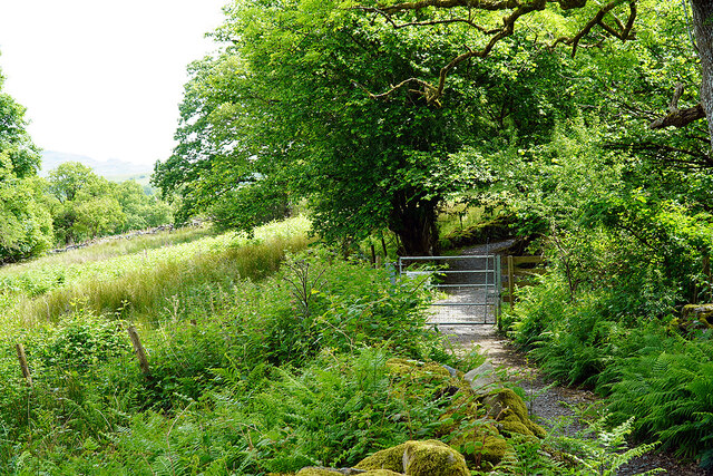
Ceunant Llennyrch is a picturesque valley located in Merionethshire, Wales. Nestled within the stunning Snowdonia National Park, this valley offers breathtaking natural beauty and a rich history.
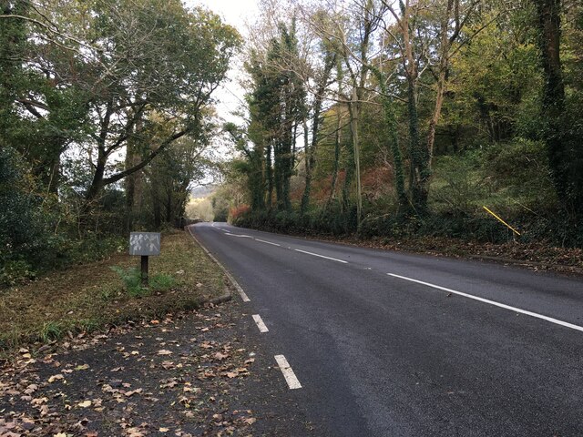
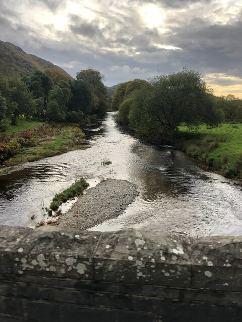
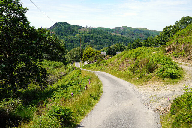
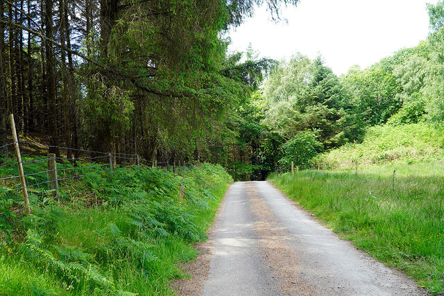
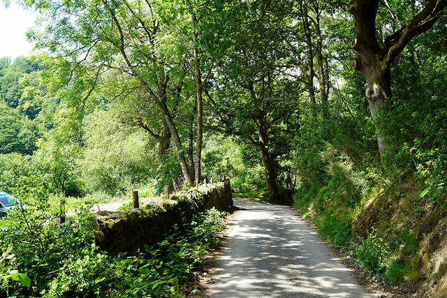
The valley is characterized by its steep slopes, which are covered in dense forests, creating a serene and tranquil atmosphere. The River Llennyrch flows through the valley, adding to its charm with its crystal-clear waters and cascading waterfalls. The valley is also home to a variety of wildlife, including rare species of birds and mammals.
Ceunant Llennyrch has a long history, with evidence of human habitation dating back thousands of years. The valley was once a hub of industry, with several small mines operating in the area during the 19th century. Today, remnants of these mines can still be seen, adding an intriguing historical aspect to the valley.
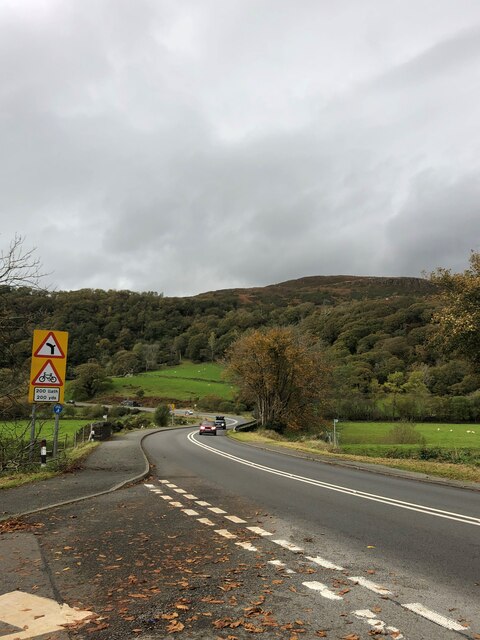
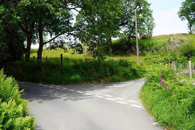
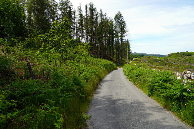
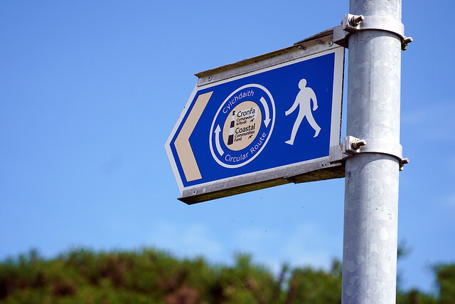
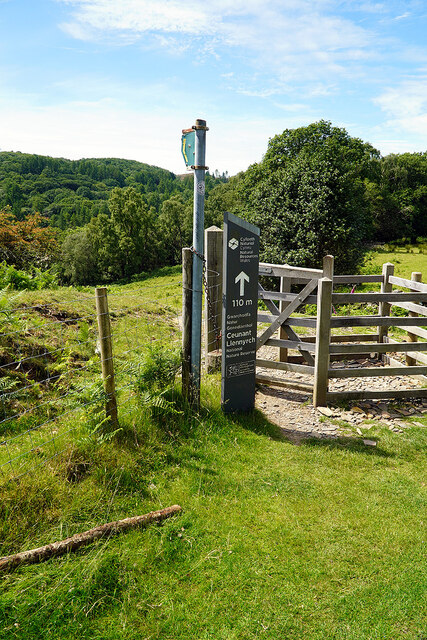
Visitors to Ceunant Llennyrch can enjoy a range of outdoor activities. Hiking trails wind through the valley, offering stunning views of the surrounding mountains and valleys. The waterfalls and river provide opportunities for fishing and picnicking, and the dense forests are ideal for nature walks and birdwatching.
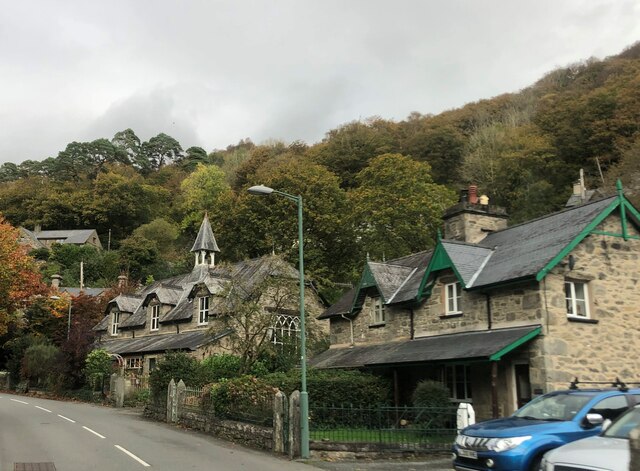
The valley is also a popular destination for photographers and artists, who are drawn to its natural beauty and unique landscape. Additionally, there are several accommodation options available in the nearby towns, allowing visitors to fully immerse themselves in the tranquility of Ceunant Llennyrch.
Overall, Ceunant Llennyrch is a hidden gem in Merionethshire, offering visitors a chance to escape the hustle and bustle of everyday life and connect with nature in a truly spectacular setting.
If you have any feedback on the listing, please let us know in the comments section below.
Ceunant Llennyrch Images
Images are sourced within 2km of 52.931301/-3.9879179 or Grid Reference SH6638. Thanks to Geograph Open Source API. All images are credited.
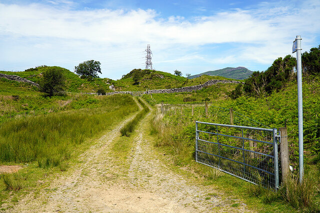
![Gate on the Cambrian Way Here the long distance path runs by the grounds of Cae Einion Alan [residential house]. To the left is cycle route 82 which emerges by the Trawsfynydd power station building.](https://s2.geograph.org.uk/geophotos/07/20/25/7202558_786f0e66.jpg)
Ceunant Llennyrch is located at Grid Ref: SH6638 (Lat: 52.931301, Lng: -3.9879179)
Unitary Authority: Gwynedd
Police Authority: North Wales
What 3 Words
///ringers.pampering.flopping. Near Maentwrog, Gwynedd
Related Wikis

Coed Camlyn National Nature Reserve
Coed Camlyn National Nature Reserve is a nature reserve located south of the village of Maentwrog in Gwynedd, Wales. Rising steeply from the River Dwyryd...
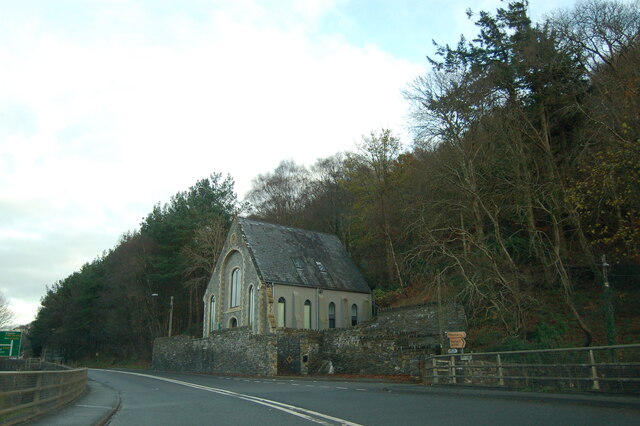
Maentwrog power station
Maentwrog power station was built by the North Wales Power Company and supplied electricity to North Wales, Deeside and Cheshire. It exploits the water...

Maentwrog
Maentwrog () is a village and community in the Welsh county of Merionethshire (now part of Gwynedd), lying in the Vale of Ffestiniog just below Blaenau...

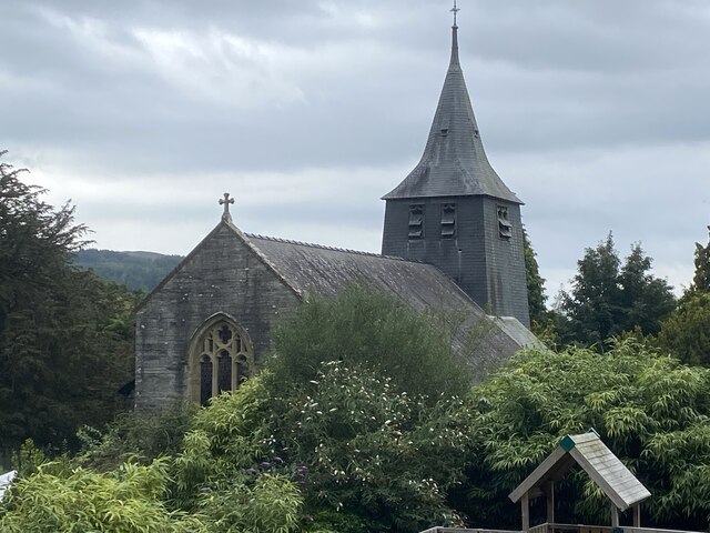
St Twrog's Church, Maentwrog
Saint Twrog's Church is in the village of Maentwrog in the Welsh county of Gwynedd, lying in the Vale of Ffestiniog, within the Snowdonia National Park...
Ceunant Llennyrch National Nature Reserve
Ceunant Llennyrch National Nature Reserve is one of several woodland reserves in the Vale of Ffestiniog in Gwynedd, Wales and runs from Llyn Trawsfynydd...

Tan-y-Bwlch, Maentwrog
Tan-y-Bwlch (Welsh for Under the pass/gap) lies in the Snowdonia National Park in North Wales and is primarily known as the location of Tan-y-Bwlch railway...

Vale of Ffestiniog
The Vale of Ffestiniog is a valley in the Snowdonia National Park in Gwynedd, North Wales. It stretches from Ffestiniog in the east and runs in a westerly...
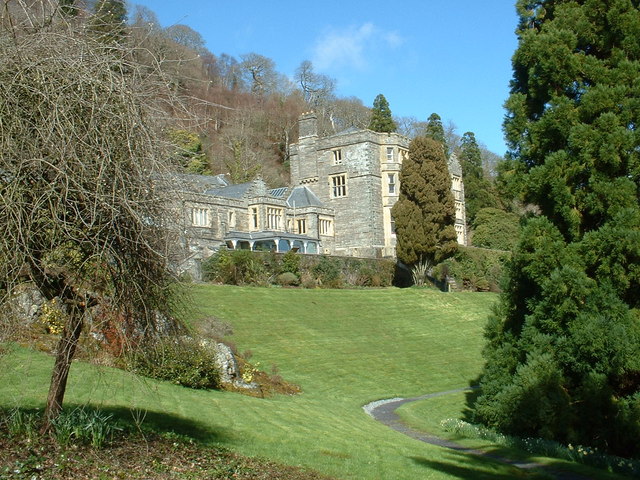
Plas Tan y Bwlch
Plas Tan y Bwlch in Gwynedd, Wales, is the Snowdonia National Park environmental studies centre, administered by the National Park Authority. It is located...
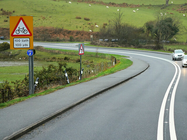
Nearby Amenities
Located within 500m of 52.931301,-3.9879179Have you been to Ceunant Llennyrch?
Leave your review of Ceunant Llennyrch below (or comments, questions and feedback).