Ceunant Geifr
Valley in Merionethshire
Wales
Ceunant Geifr
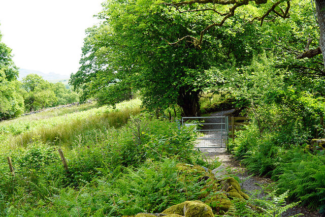
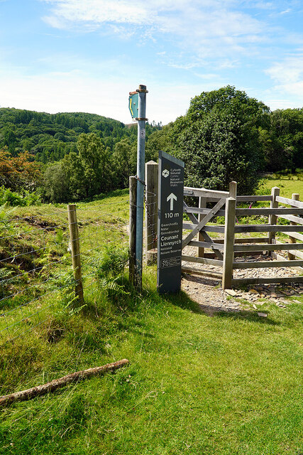
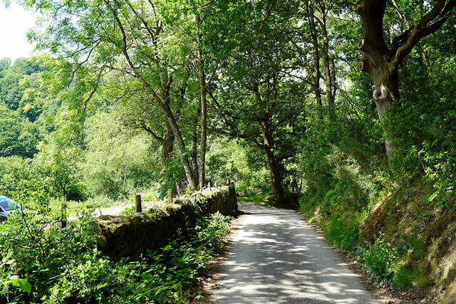
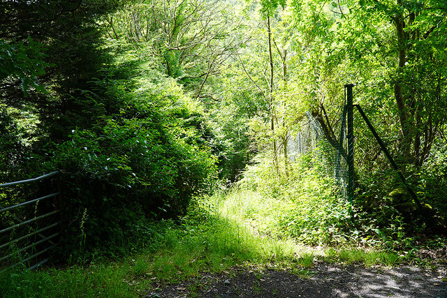
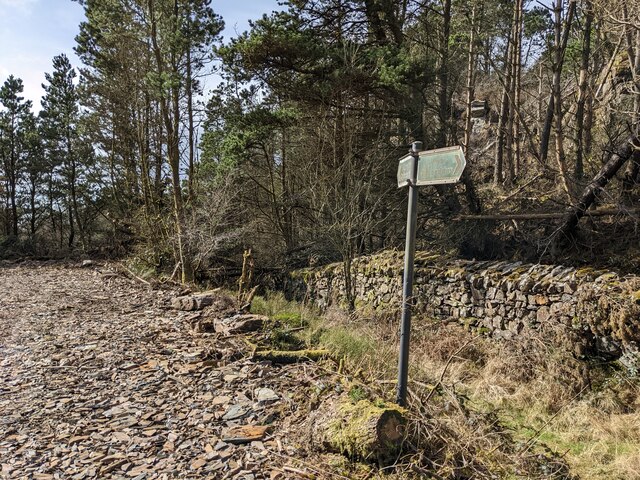
![Gate on the Cambrian Way Here the long distance path runs by the grounds of Cae Einion Alan [residential house]. To the left is cycle route 82 which emerges by the Trawsfynydd power station building.](https://s2.geograph.org.uk/geophotos/07/20/25/7202558_786f0e66.jpg)
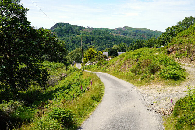
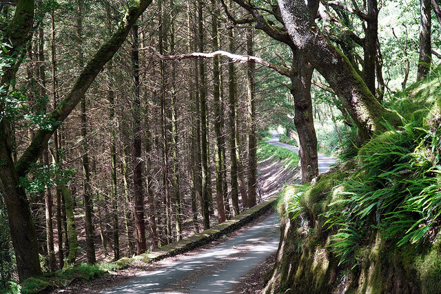
Ceunant Geifr, located in the heart of Merionethshire, is a picturesque valley nestled within the stunning natural beauty of the Snowdonia National Park in Wales. Stretching over approximately 6 kilometers, this valley is renowned for its breathtaking landscapes, rugged cliffs, and cascading waterfalls.
The name "Ceunant Geifr" translates to "Goat's Ravine" in English, a fitting name considering the steep slopes and rocky terrain that characterizes this unique valley. The ruggedness of the landscape offers a sense of tranquility and isolation, making it a popular destination for nature enthusiasts and hikers seeking solace in the great outdoors.
The valley is home to a diverse range of flora and fauna, with lush greenery covering the slopes and a variety of bird species soaring through the skies. The cascading waterfalls, such as Pistyll Cain and Rhaeadr-y-cwm, add to the valley's charm, providing a mesmerizing sight and a soothing soundtrack of rushing water.
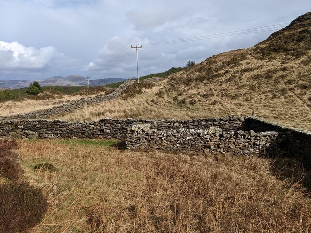
Ceunant Geifr also holds historical significance, with remnants of old mining activities dotting the landscape. In the past, the valley was an important hub for lead and zinc mining, contributing to the industrial heritage of the region.
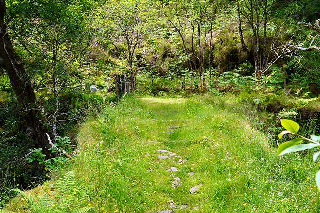
Visitors to Ceunant Geifr can embark on scenic walks or hikes along well-marked trails that provide stunning views of the valley and its surroundings. The rugged beauty and untouched nature of Ceunant Geifr make it a must-visit destination for those seeking an escape into the Welsh wilderness.
If you have any feedback on the listing, please let us know in the comments section below.
Ceunant Geifr Images
Images are sourced within 2km of 52.92288/-3.9833666 or Grid Reference SH6638. Thanks to Geograph Open Source API. All images are credited.
Ceunant Geifr is located at Grid Ref: SH6638 (Lat: 52.92288, Lng: -3.9833666)
Unitary Authority: Gwynedd
Police Authority: North Wales
What 3 Words
///backed.nooks.diet. Near Maentwrog, Gwynedd
Nearby Locations
Related Wikis

Coed y Rhygen National Nature Reserve
Coed y Rhygen National Nature Reserve is located on the western shore of Llyn Trawsfynydd in Gwynedd, North Wales. As an example of Atlantic Rainforest...
Coed Camlyn National Nature Reserve
Coed Camlyn National Nature Reserve is a nature reserve located south of the village of Maentwrog in Gwynedd, Wales. Rising steeply from the River Dwyryd...
Maentwrog power station
Maentwrog power station was built by the North Wales Power Company and supplied electricity to North Wales, Deeside and Cheshire. It exploits the water...
Ceunant Llennyrch National Nature Reserve
Ceunant Llennyrch National Nature Reserve is one of several woodland reserves in the Vale of Ffestiniog in Gwynedd, Wales and runs from Llyn Trawsfynydd...

Trawsfynydd nuclear power station
Trawsfynydd nuclear power station (Welsh: Atomfa Trawsfynydd) is a former Magnox nuclear power station situated in Snowdonia National Park in Gwynedd,...

Gellilydan
Gellilydan () is a village in the Welsh county of Gwynedd, in Maentwrog community. It lies 4 miles (6.4 km) south-south-east of Blaenau Ffestiniog. The...

Maentwrog
Maentwrog () is a village and community in the Welsh county of Merionethshire (now part of Gwynedd), lying in the Vale of Ffestiniog just below Blaenau...

St Twrog's Church, Maentwrog
Saint Twrog's Church is in the village of Maentwrog in the Welsh county of Gwynedd, lying in the Vale of Ffestiniog, within the Snowdonia National Park...
Nearby Amenities
Located within 500m of 52.92288,-3.9833666Have you been to Ceunant Geifr?
Leave your review of Ceunant Geifr below (or comments, questions and feedback).