Hollow Brook Coombe
Valley in Devon North Devon
England
Hollow Brook Coombe
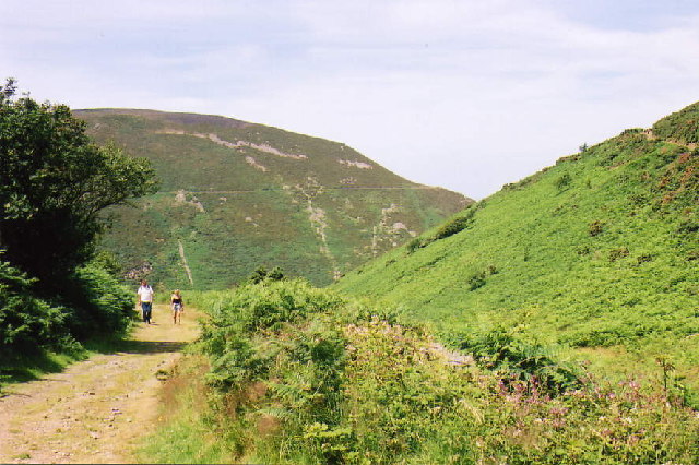
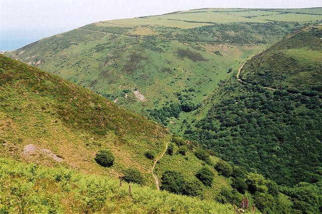
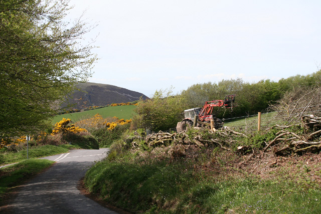
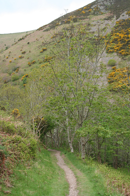
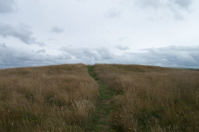
Hollow Brook Coombe, located in Devon, is a picturesque valley that captivates visitors with its natural beauty and serene ambiance. Nestled within the scenic Dartmoor National Park, this enchanting coombe is flanked by rolling hills adorned with lush greenery and dotted with charming cottages.
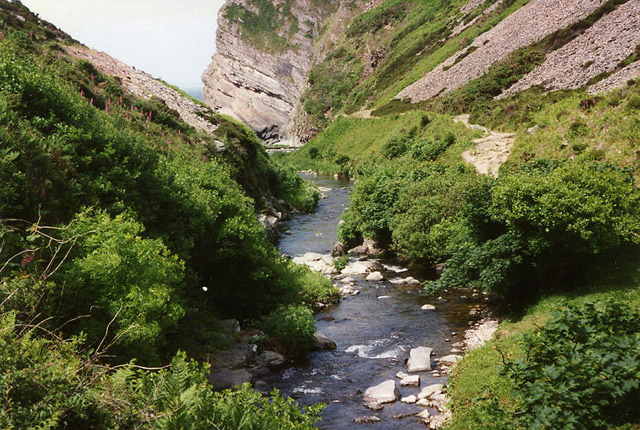
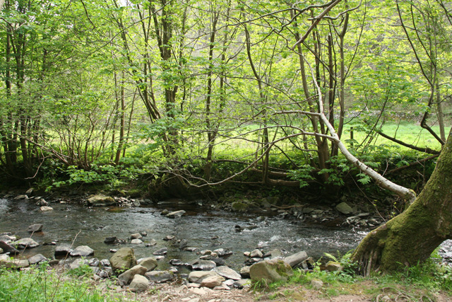
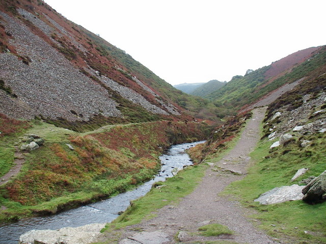
The valley owes its name to the meandering Hollow Brook, a crystal-clear stream that winds its way through the landscape, adding to its idyllic charm. The babbling brook is home to a variety of wildlife, including otters, trout, and an array of bird species, making it a haven for nature enthusiasts and birdwatchers.
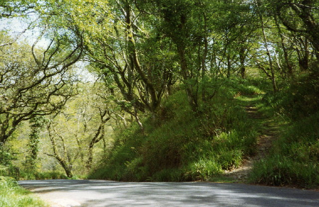
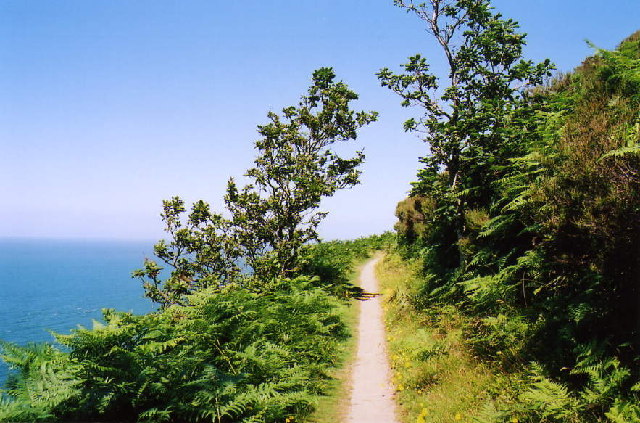
The surrounding area is characterized by the dramatic landscapes of Dartmoor, with its granite tors and open moorlands. This offers ample opportunities for hiking, biking, and exploring the wilderness. The coombe itself offers numerous walking trails, providing visitors with the chance to immerse themselves in the tranquil surroundings and enjoy breathtaking views.
The valley also boasts a rich history, with evidence of ancient settlements and Bronze Age remains scattered throughout the area. The nearby village of Widecombe-in-the-Moor offers glimpses into the region's past, with its historic church and traditional thatched cottages.
Hollow Brook Coombe, Devon, is a hidden gem that showcases the natural beauty and rural charm of the English countryside. Its combination of stunning landscapes, diverse wildlife, and historical significance make it a must-visit destination for those seeking a peaceful and immersive experience in the heart of Devon.
If you have any feedback on the listing, please let us know in the comments section below.
Hollow Brook Coombe Images
Images are sourced within 2km of 51.228931/-3.9100229 or Grid Reference SS6649. Thanks to Geograph Open Source API. All images are credited.


Hollow Brook Coombe is located at Grid Ref: SS6649 (Lat: 51.228931, Lng: -3.9100229)
Administrative County: Devon
District: North Devon
Police Authority: Devon and Cornwall
What 3 Words
///disprove.cloth.encounter. Near Lynton, Devon
Related Wikis

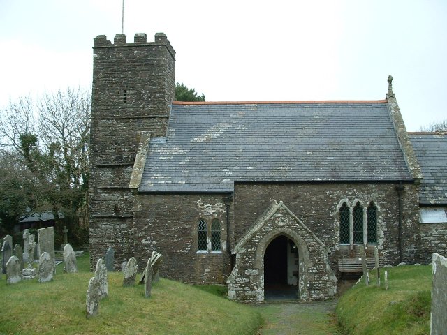
Martinhoe
Martinhoe is a small settlement and civil parish in North Devon district of Devon, England. Martinhoe is within the Exmoor National Park, the smallest...

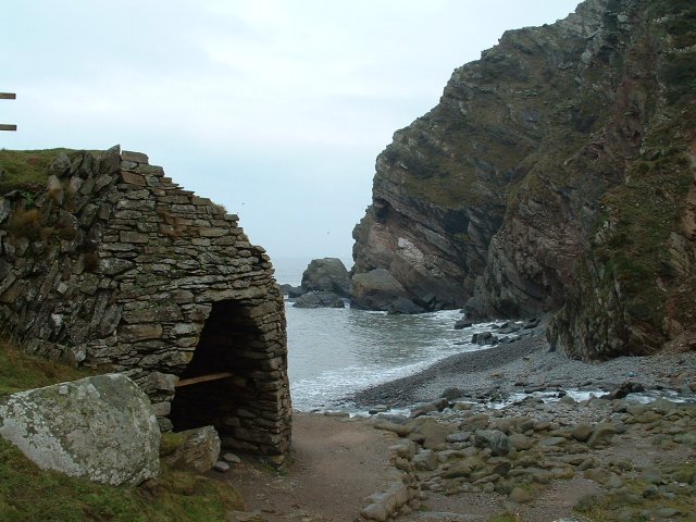
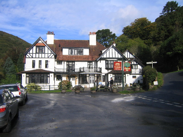
Heddon's Mouth
Heddon's Mouth is a rocky cove on the coast of North Devon, England, about a mile down the River Heddon from the Hunter's Inn. It is preserved for the...

Woody Bay, Devon
Woody Bay is a bay on the North Devon coast of England, 3 miles (4.8 km) west of Lynton and 8 miles (13 km) east of Combe Martin with a stony beach. It...

Lee Abbey
Lee Abbey, founded in 1946, is an ecumenical Christian community between Woody Bay and Lynmouth in Devon, England. It is a Grade II listed building. The...
Nearby Amenities
Located within 500m of 51.228931,-3.9100229Have you been to Hollow Brook Coombe?
Leave your review of Hollow Brook Coombe below (or comments, questions and feedback).