Coed-y-garth
Wood, Forest in Merionethshire
Wales
Coed-y-garth
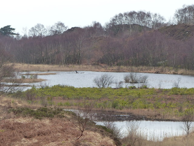
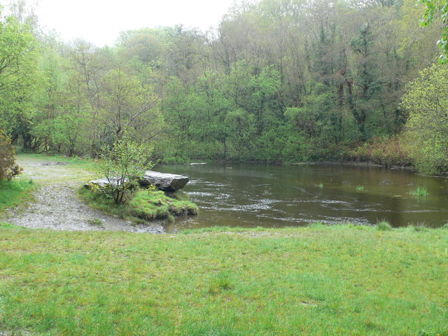
Coed-y-garth is a charming village located in the county of Merionethshire in Wales. Nestled amidst the scenic landscapes, it is renowned for its picturesque woodlands and forests, making it a haven for nature enthusiasts and outdoor adventurers.
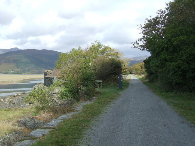
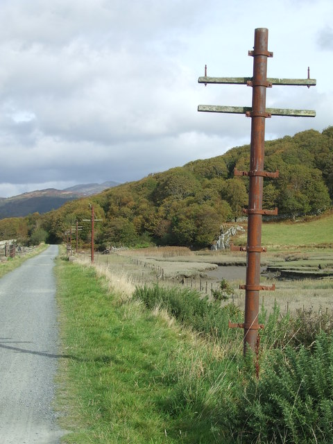
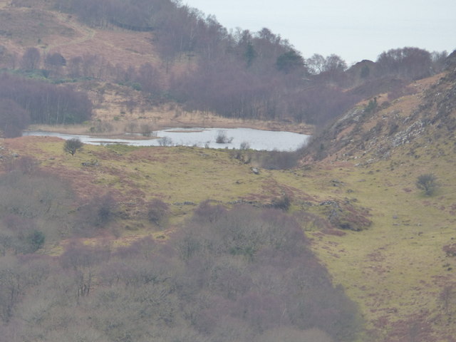
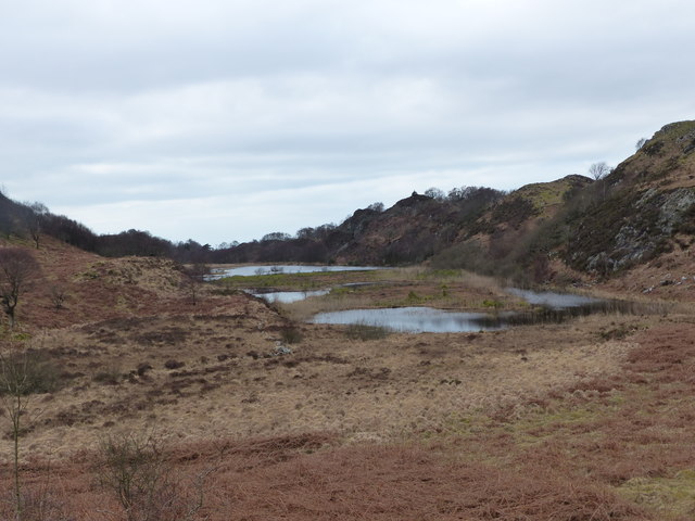
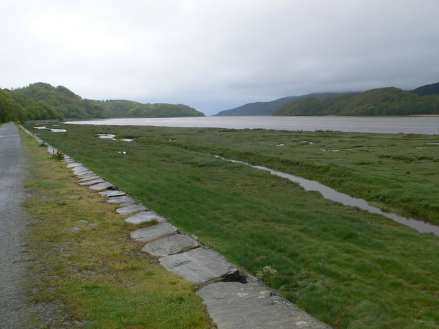
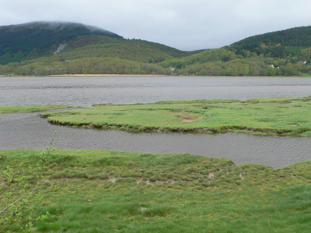
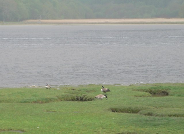
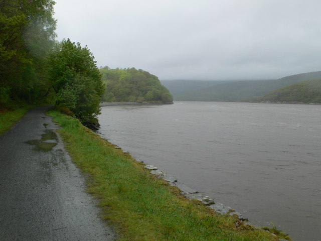
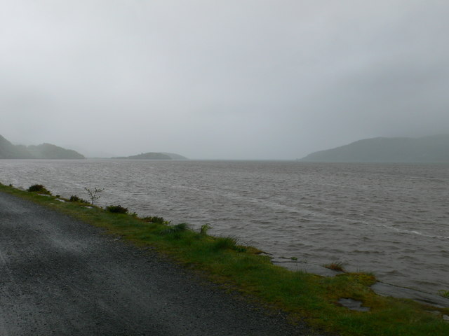
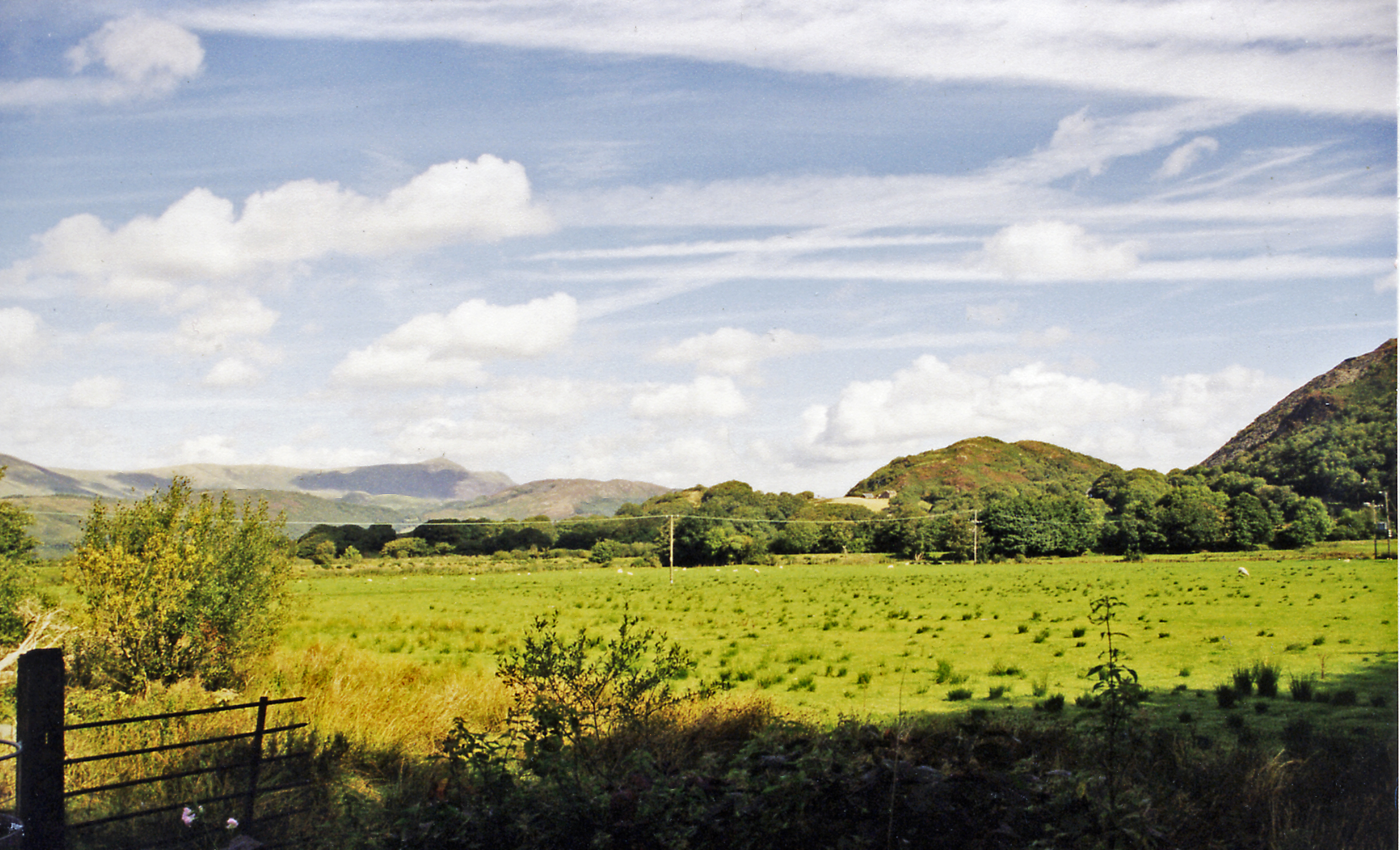
The village is situated at the foothills of the majestic Snowdonia National Park, offering breathtaking views of the surrounding mountains and valleys. The woodlands in Coed-y-garth are diverse and abundant, featuring a variety of tree species such as oak, beech, and birch. The forested areas are home to a rich array of wildlife, including red squirrels, badgers, and various species of birds.
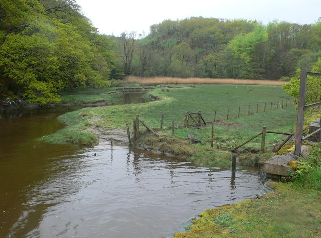
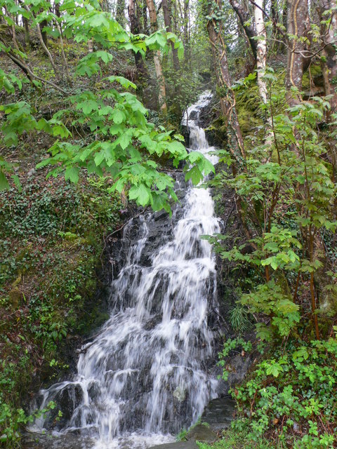
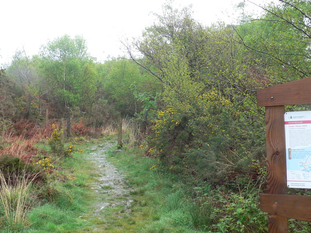
Coed-y-garth is a popular destination for hikers and nature lovers, with numerous walking trails and pathways winding through the woodlands. These trails provide an opportunity to explore the natural beauty of the area, offering glimpses of cascading waterfalls, peaceful streams, and ancient ruins.
In addition to its natural attractions, Coed-y-garth boasts a close-knit community and a number of historic landmarks. The village is home to a charming 12th-century church, which adds to its quaint and traditional atmosphere. The local community takes pride in preserving the village's heritage and hosting annual events and festivals that celebrate its history and culture.
Visitors to Coed-y-garth can enjoy a peaceful retreat in the heart of nature, surrounded by stunning scenery and a warm and welcoming community. Whether it's exploring the woodlands, immersing oneself in the local history, or simply enjoying the tranquility of this enchanting village, Coed-y-garth offers a truly unforgettable experience.
If you have any feedback on the listing, please let us know in the comments section below.
Coed-y-garth Images
Images are sourced within 2km of 52.731687/-3.9840647 or Grid Reference SH6616. Thanks to Geograph Open Source API. All images are credited.
Coed-y-garth is located at Grid Ref: SH6616 (Lat: 52.731687, Lng: -3.9840647)
Unitary Authority: Gwynedd
Police Authority: North Wales
What 3 Words
///cheaply.suitably.funny. Near Barmouth, Gwynedd
Nearby Locations
Related Wikis

Mawddach Trail
The Mawddach Trail (Welsh: Llwybr Mawddach) is a cycle path route, part of Lôn Las Cymru, which runs for some 8 miles (13 km) from Dolgellau (52.7446°N...

Tyn-y-Coed Farmhouse
Tyn-y-Coed Farmhouse is a grade II Listed Building in Caerdeon, Barmouth, Gwynedd. This Georgian farm house was built in 1756 and later extended and altered...

St Philip's Church, Caerdeon
St Philip's Church, Caerdeon, near Barmouth, in Gwynedd, North Wales, is a redundant church and a Grade I listed building. The church was built in 1862...

Bontddu
Bontddu (meaning Black bridge) is a small settlement just east of Barmouth, near the town of Dolgellau in Gwynedd, Wales. It is in the community of Llanelltyd...

Arthog
Arthog () is a village, post town and community in the Meirionnydd area in Gwynedd, north Wales including the villages of Fairbourne and Friog. It is located...
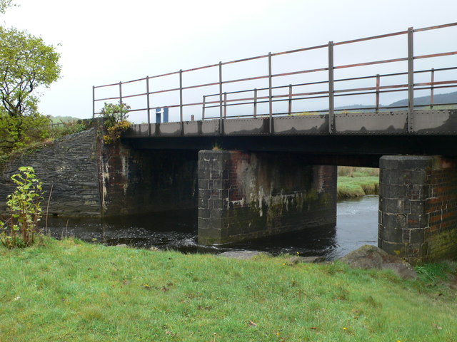
Arthog railway station
Arthog railway station in Gwynedd, Wales, was a station on the Dolgelly [sic] branch of the Aberystwith and Welsh Coast Railway (part of the Ruabon to...
Clogau Gold Mine
The Clogau (pronounced "clog-eye") Gold Mine (also known as Clogau St David's) is a gold mine near Bontddu in North Wales. == History == The Clogau mine...
Borthwnog
Borthwnog is a family name given to the Borthwnog estate in Gwynedd, north-west Wales. Borthwnog Hall was the Manor House of the estate which encompassed...
Nearby Amenities
Located within 500m of 52.731687,-3.9840647Have you been to Coed-y-garth?
Leave your review of Coed-y-garth below (or comments, questions and feedback).