West Knoyle
Civil Parish in Wiltshire
England
West Knoyle
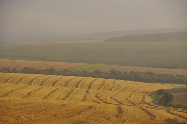
West Knoyle is a small civil parish located in the county of Wiltshire, England. Situated in the southwestern part of the county, it lies approximately 5 miles east of the town of Mere and 16 miles west of Salisbury. The parish is part of the Cranborne Chase and West Wiltshire Downs Area of Outstanding Natural Beauty, which is known for its stunning rural landscapes.
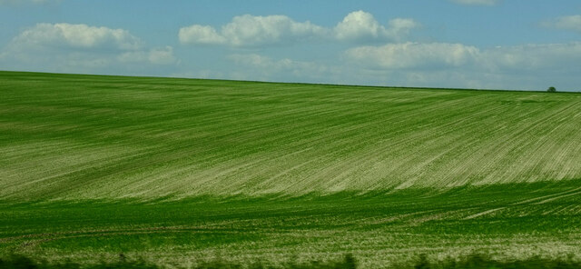
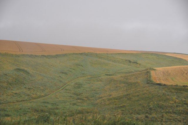
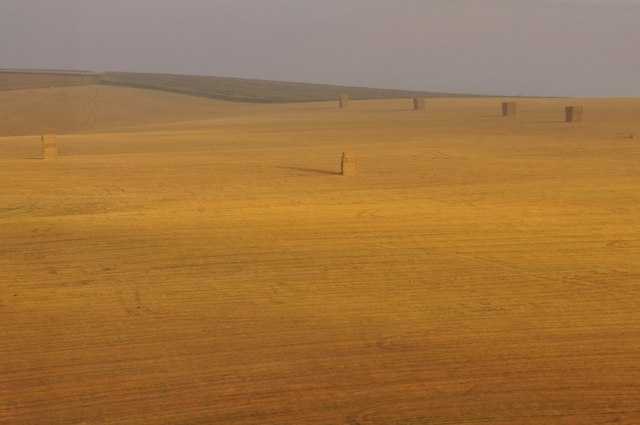
West Knoyle is a predominantly rural area, characterized by rolling hills, open fields, and patches of woodland. The village itself is home to a small number of residential properties, a church, and a village hall. The architecture in the area is primarily traditional, with many buildings constructed using local stone, giving the village a quintessentially English countryside charm.
The parish boasts a rich history, with evidence of human habitation dating back to the prehistoric era. Archaeological discoveries, including Roman coins and Saxon artifacts, have been made in the vicinity, showcasing the area's historical significance.
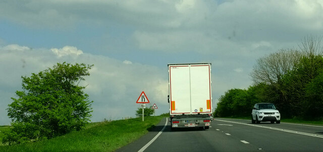
For outdoor enthusiasts, West Knoyle offers ample opportunities for exploration and recreation. The surrounding countryside is crisscrossed with footpaths and bridleways, making it an ideal location for walking, cycling, and horseback riding. The nearby River Wylye also provides opportunities for fishing and boating.
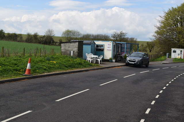
Despite its tranquil and rural character, West Knoyle benefits from its proximity to larger towns and cities. The town of Warminster, with its range of amenities including shops, restaurants, and leisure facilities, is just a short drive away, ensuring residents have access to essential services.
In summary, West Knoyle is a picturesque and historic civil parish in Wiltshire, offering a peaceful and idyllic rural lifestyle amidst beautiful natural surroundings.
If you have any feedback on the listing, please let us know in the comments section below.
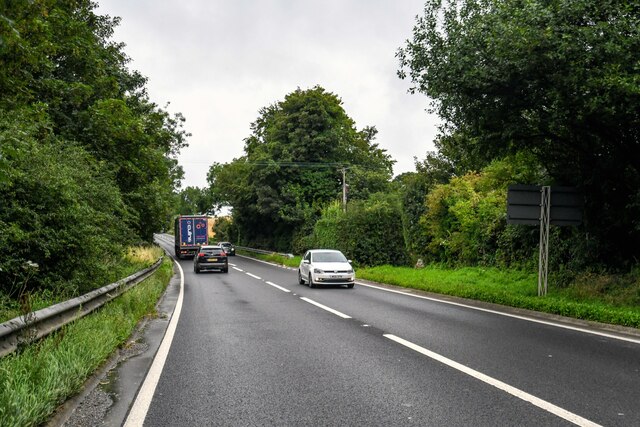
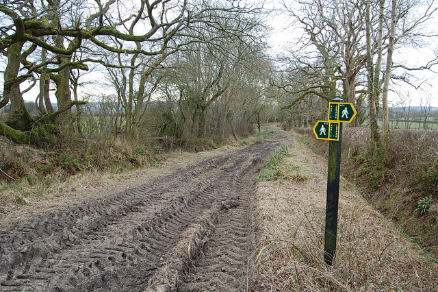
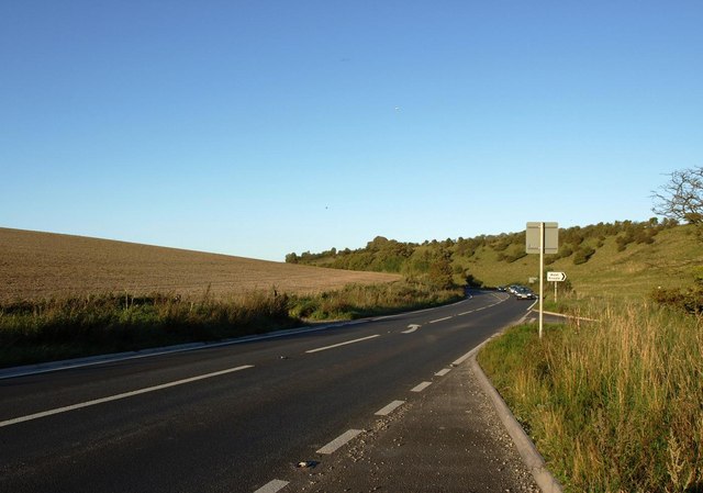
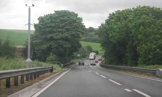
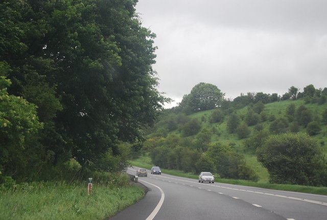
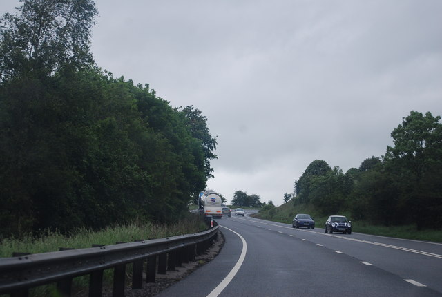
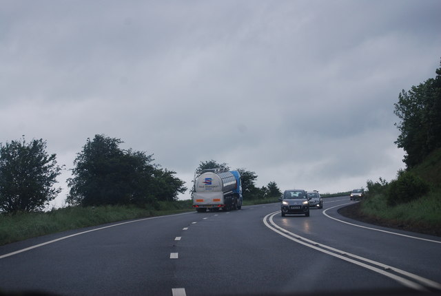
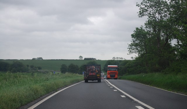
West Knoyle Images
Images are sourced within 2km of 51.092984/-2.210707 or Grid Reference ST8532. Thanks to Geograph Open Source API. All images are credited.


West Knoyle is located at Grid Ref: ST8532 (Lat: 51.092984, Lng: -2.210707)
Unitary Authority: Wiltshire
Police Authority: Wiltshire
What 3 Words
///lace.magnets.kickbacks. Near Mere, Wiltshire
Nearby Locations
Related Wikis

West Knoyle
West Knoyle is a small village and civil parish in southwest Wiltshire, England, close to the southern edge of Salisbury Plain. The village is about 2...

Hang Wood
Hang Wood (grid reference ST861319) is a 20.3 hectare biological Site of Special Scientific Interest in Wiltshire, notified in 1986. == Sources == Natural...
Charnage Down Chalk Pit
Charnage Down Chalk Pit (grid reference ST837329) is a 3.7 hectare geological Site of Special Scientific Interest in Wiltshire, England, lying east of...

Barrow Street, Wiltshire
Barrow Street is a hamlet in Wiltshire, England, about 1.9 miles (3.1 km) southeast of the town of Mere. The name comes from the early Bronze Age bowl...

Clouds House
Clouds House, also known simply as Clouds, is a Grade II* listed building at East Knoyle in Wiltshire, England. Designed by Arts and Crafts architect Philip...

St. Mary's Church, East Knoyle
St. Mary's Church is a Church of England parish church in East Knoyle, Wiltshire, England. == History == The Church of England Parish Church of St Mary...

Pertwood
Pertwood is an ancient settlement and former civil parish, near Warminster in the county of Wiltshire in the west of England. Its land and houses now lie...

East Knoyle
East Knoyle is a village and civil parish in Wiltshire, in the south-west of England, just west of the A350 and about 9 miles (14 km) south of Warminster...
Nearby Amenities
Located within 500m of 51.092984,-2.210707Have you been to West Knoyle?
Leave your review of West Knoyle below (or comments, questions and feedback).