West Langton
Civil Parish in Leicestershire Harborough
England
West Langton

West Langton is a small civil parish located in the Harborough district of Leicestershire, England. Situated approximately 10 miles southeast of Leicester, it covers an area of about 1.5 square miles. The parish is nestled in the beautiful rural countryside, surrounded by rolling hills and picturesque landscapes.
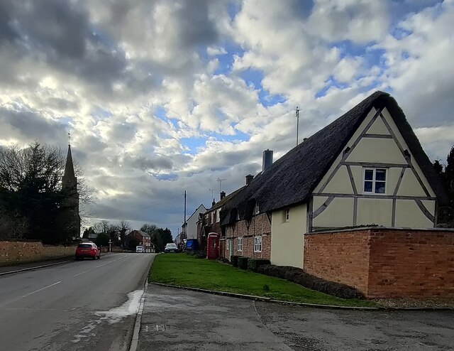
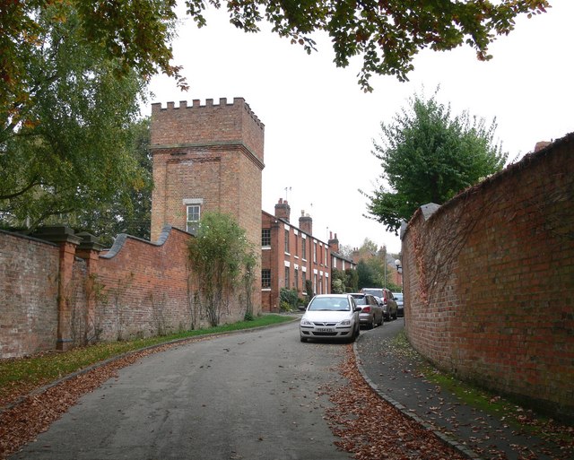
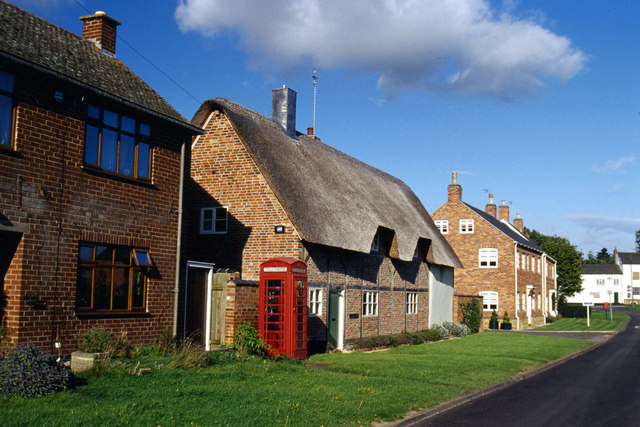
The village of West Langton itself is a charming and tranquil settlement with a population of around 200 residents. It is known for its quaint cottages, many of which date back to the 18th and 19th centuries, giving the village a timeless and traditional feel. The parish also boasts a historic church, St. Peter's Church, which is a Grade II listed building and serves as a focal point for the community.
Despite its small size, West Langton offers a range of amenities for its residents. The village has a local pub, The Bell Inn, which provides a warm and inviting atmosphere and is a popular spot for locals and visitors alike. There are also several footpaths and bridleways in the area, making it a haven for outdoor enthusiasts and walkers.
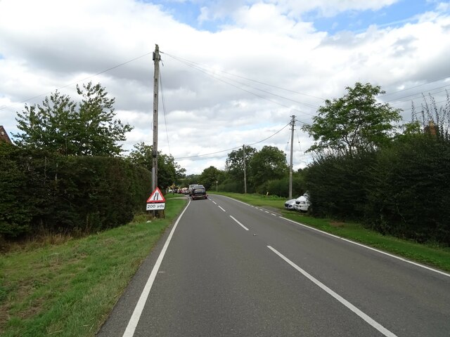
The parish is well-connected to nearby towns and cities, with good transport links. The A6 road runs just east of West Langton, providing easy access to Leicester and Market Harborough. The village is also served by regular bus services, ensuring convenient travel options for residents.
Overall, West Langton is a peaceful and idyllic village, offering a close-knit community and a tranquil countryside setting.
If you have any feedback on the listing, please let us know in the comments section below.
West Langton Images
Images are sourced within 2km of 52.526772/-0.949061 or Grid Reference SP7192. Thanks to Geograph Open Source API. All images are credited.


West Langton is located at Grid Ref: SP7192 (Lat: 52.526772, Lng: -0.949061)
Administrative County: Leicestershire
District: Harborough
Police Authority: Leicestershire
What 3 Words
///pranced.blasted.managers. Near Kibworth Harcourt, Leicestershire
Nearby Locations
Related Wikis
West Langton
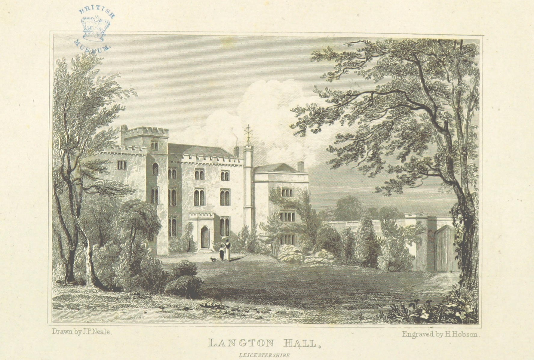
West Langton is a civil parish in the Harborough district of Leicestershire, England. The main settlement in the parish is Langton Hall (not to be confused...

East Langton railway station
East Langton railway station was opened by the Midland Railway on what is now the Midland Main Line, initially calling it simply Langton. == History... ==

The Langtons
The Langtons is an area of Harborough, Leicestershire, England comprising the following villages: Church Langton East Langton Thorpe Langton Tur Langton...
East Langton
East Langton (derived from the Anglo-Saxon word for an enclosure, meaning "long town") is a village and civil parish in the Harborough district of Leicestershire...
Tur Langton
Tur Langton (derived from the Anglo-Saxon word for an enclosure, meaning "long town") is a small village and civil parish in the Harborough district, in...

Foxton, Leicestershire
Foxton is a village and civil parish in the Harborough district, in the county of Leicestershire, England, to the north-west of Market Harborough. The...
Knave Hill
Knave Hill is an archaeological site near the village of Stonton Wyville, Leicestershire, in the English East Midlands. It was excavated by Channel 4's...
Market Harborough Rural District
The rural district of Market Harborough existed in Leicestershire, England, from 1894 to 1974. It covered the area around Market Harborough, but not including...
Nearby Amenities
Located within 500m of 52.526772,-0.949061Have you been to West Langton?
Leave your review of West Langton below (or comments, questions and feedback).