Parson's Coppice
Wood, Forest in Wiltshire
England
Parson's Coppice
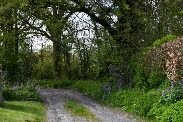
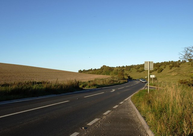
Parson's Coppice is a charming woodland area located in the county of Wiltshire, England. Situated near the village of Tisbury, this wood is a haven for nature enthusiasts and provides a tranquil escape from the hustle and bustle of everyday life.
Covering an area of approximately 30 hectares, Parson's Coppice is primarily composed of broadleaf trees, including oak, beech, and ash. The wood's dense canopy creates a shady and cool environment, perfect for a leisurely stroll or a picnic on a warm summer day. The forest floor is adorned with a variety of wildflowers, adding a splash of color to the green landscape.
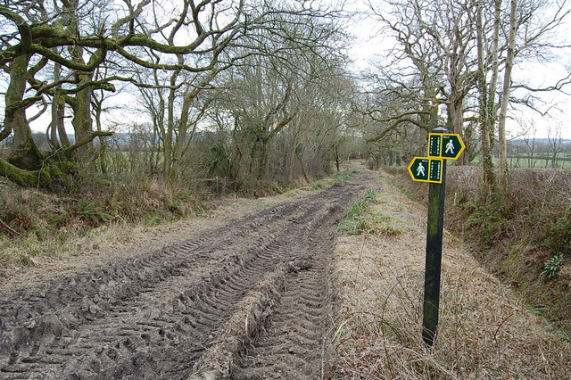
The wood is crisscrossed by a network of footpaths, making it easily accessible to visitors. A circular trail winds through the wood, offering panoramic views of the surrounding countryside and glimpses of local wildlife. Birdwatchers will delight in the opportunity to spot species such as woodpeckers, owls, and various songbirds.
Parson's Coppice is not only a place of natural beauty but also of historical significance. The wood has a long-standing tradition of sustainable management, with its timber being used for various purposes throughout the years. It has been carefully preserved to ensure the continuation of its ecological value and remains an important habitat for a diverse range of flora and fauna.
Whether you are seeking a peaceful retreat, a chance to connect with nature, or a glimpse into the area's rich history, Parson's Coppice in Wiltshire offers a delightful experience for visitors of all ages.
If you have any feedback on the listing, please let us know in the comments section below.
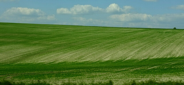
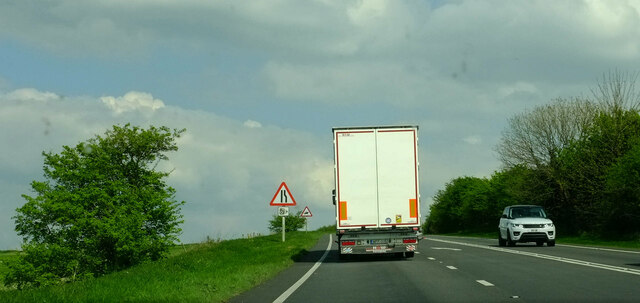
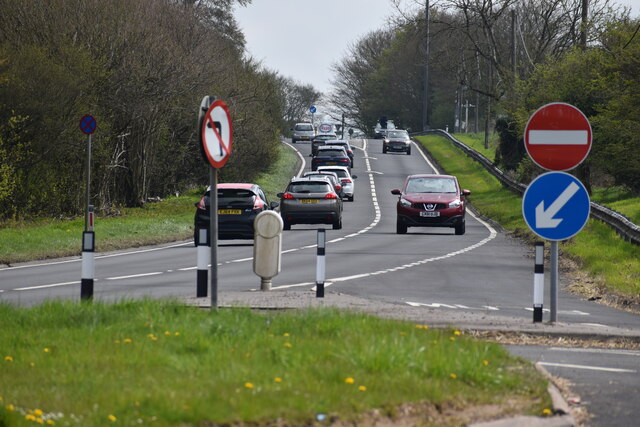
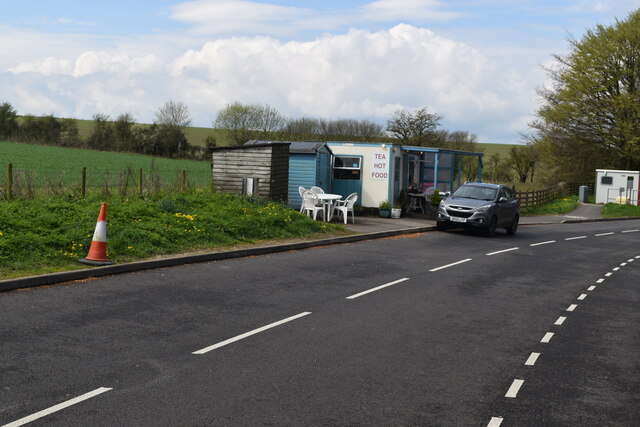
Parson's Coppice Images
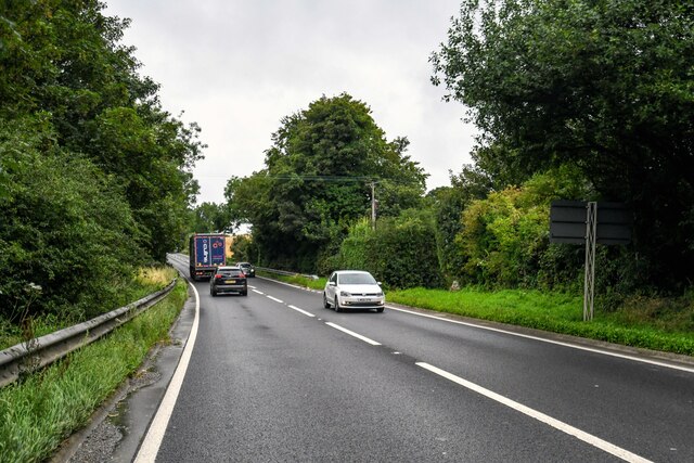
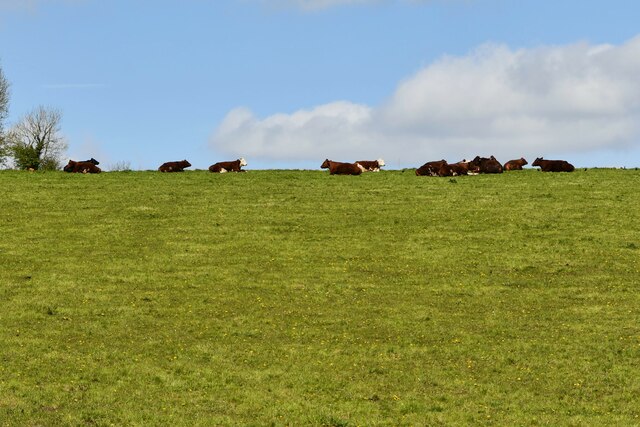
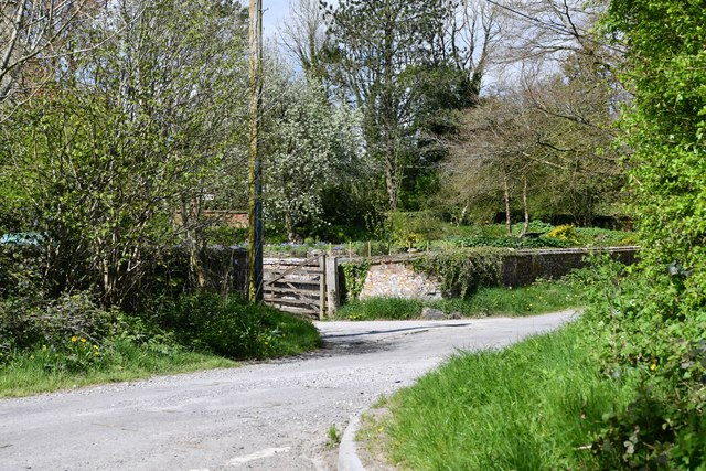
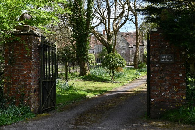
Images are sourced within 2km of 51.088925/-2.2046973 or Grid Reference ST8532. Thanks to Geograph Open Source API. All images are credited.

Parson's Coppice is located at Grid Ref: ST8532 (Lat: 51.088925, Lng: -2.2046973)
Unitary Authority: Wiltshire
Police Authority: Wiltshire
What 3 Words
///control.each.grinders. Near Mere, Wiltshire
Nearby Locations
Related Wikis

West Knoyle
West Knoyle is a small village and civil parish in southwest Wiltshire, England, close to the southern edge of Salisbury Plain. The village is about 2...

Hang Wood
Hang Wood (grid reference ST861319) is a 20.3 hectare biological Site of Special Scientific Interest in Wiltshire, notified in 1986. == Sources == Natural...
Charnage Down Chalk Pit
Charnage Down Chalk Pit (grid reference ST837329) is a 3.7 hectare geological Site of Special Scientific Interest in Wiltshire, England, lying east of...

Clouds House
Clouds House, also known simply as Clouds, is a Grade II* listed building at East Knoyle in Wiltshire, England. Designed by Arts and Crafts architect Philip...
Nearby Amenities
Located within 500m of 51.088925,-2.2046973Have you been to Parson's Coppice?
Leave your review of Parson's Coppice below (or comments, questions and feedback).