West Knoyle
Settlement in Wiltshire
England
West Knoyle
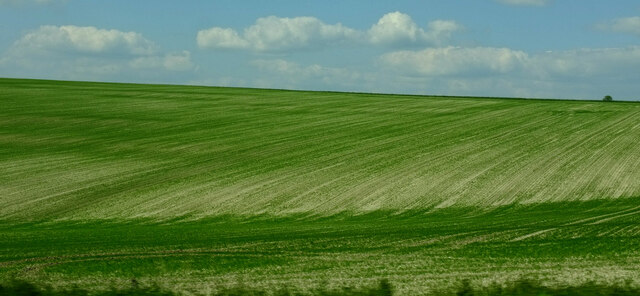
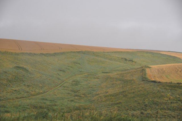
West Knoyle is a small village located in the county of Wiltshire, England. It is situated approximately 2 miles southeast of the town of Mere, and about 3 miles west of the A303 road. The village is part of the Cranborne Chase and West Wiltshire Downs Area of Outstanding Natural Beauty, surrounded by picturesque rolling hills and countryside.
West Knoyle has a rich history, with evidence of human habitation dating back to the Neolithic period. The village is known for its charming thatched cottages, many of which date back several centuries, adding to its traditional and idyllic character.
The heart of the village is dominated by the St. Mary's Church, a Grade I listed building dating back to the 13th century. The church features a stunning Norman tower and a beautiful interior with intricate stained glass windows and medieval wall paintings.
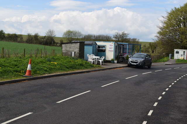
Despite its small size, West Knoyle is a vibrant community with a range of amenities. It has a village hall where various events and activities take place, fostering a strong sense of community spirit. The village also has a primary school, providing education for local children.
The surrounding countryside offers ample opportunities for outdoor activities, including walking, cycling, and horse riding. The nearby Cranborne Chase provides stunning views and is home to a diverse range of flora and fauna, making it a popular destination for nature enthusiasts.
Overall, West Knoyle is a charming village that offers a peaceful and picturesque lifestyle, steeped in history and natural beauty.
If you have any feedback on the listing, please let us know in the comments section below.
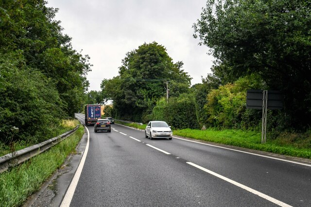
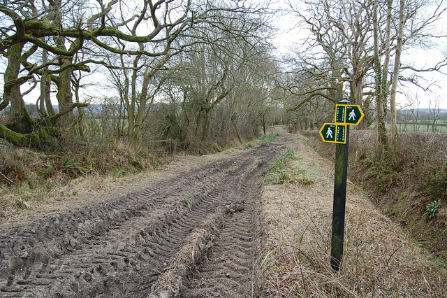
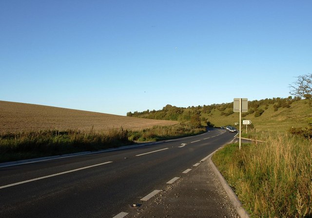
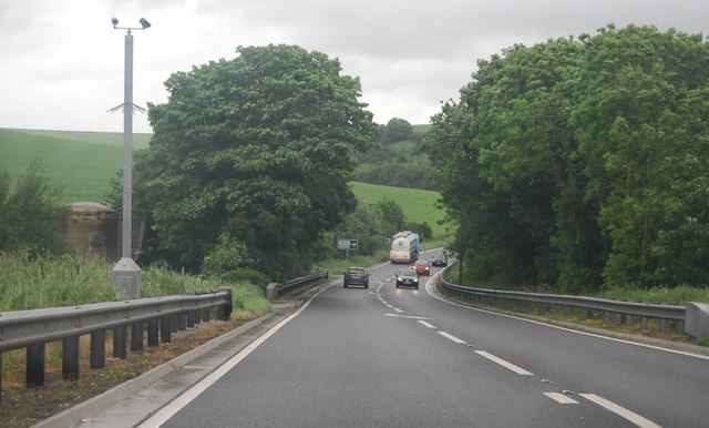
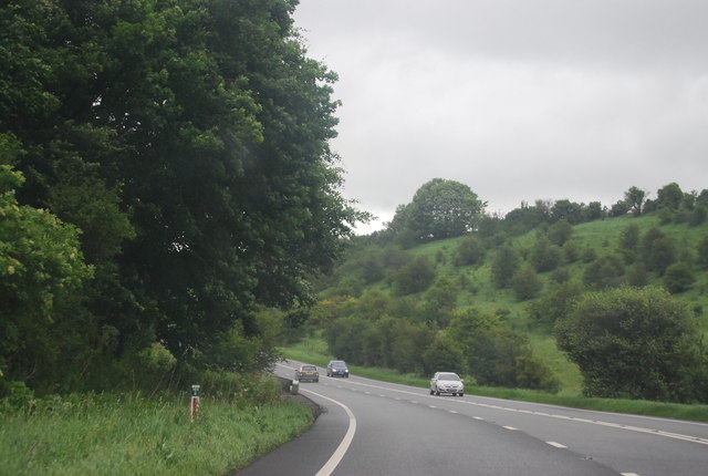
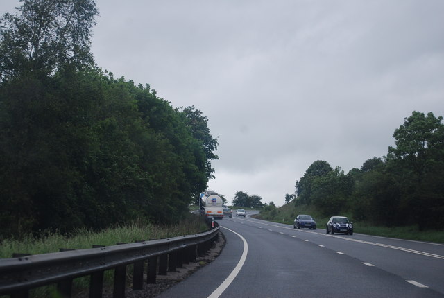
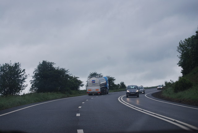
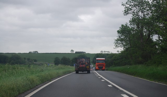
West Knoyle Images
Images are sourced within 2km of 51.091741/-2.2040243 or Grid Reference ST8532. Thanks to Geograph Open Source API. All images are credited.


West Knoyle is located at Grid Ref: ST8532 (Lat: 51.091741, Lng: -2.2040243)
Unitary Authority: Wiltshire
Police Authority: Wiltshire
What 3 Words
///wake.ramble.superhero. Near Mere, Wiltshire
Nearby Locations
Related Wikis

West Knoyle
West Knoyle is a small village and civil parish in southwest Wiltshire, England, close to the southern edge of Salisbury Plain. The village is about 2...

Hang Wood
Hang Wood (grid reference ST861319) is a 20.3 hectare biological Site of Special Scientific Interest in Wiltshire, notified in 1986. == Sources == Natural...
Charnage Down Chalk Pit
Charnage Down Chalk Pit (grid reference ST837329) is a 3.7 hectare geological Site of Special Scientific Interest in Wiltshire, England, lying east of...

Clouds House
Clouds House, also known simply as Clouds, is a Grade II* listed building at East Knoyle in Wiltshire, England. Designed by Arts and Crafts architect Philip...

Barrow Street, Wiltshire
Barrow Street is a hamlet in Wiltshire, England, about 1.9 miles (3.1 km) southeast of the town of Mere. The name comes from the early Bronze Age bowl...

St. Mary's Church, East Knoyle
St. Mary's Church is a Church of England parish church in East Knoyle, Wiltshire, England. == History == The Church of England Parish Church of St Mary...

East Knoyle
East Knoyle is a village and civil parish in Wiltshire, in the south-west of England, just west of the A350 and about 9 miles (14 km) south of Warminster...

East Knoyle War Memorial
The East Knoyle War Memorial is a monument that commemorates the lives of soldiers from East Knoyle, Wiltshire, England, who were killed in war. Unveiled...
Nearby Amenities
Located within 500m of 51.091741,-2.2040243Have you been to West Knoyle?
Leave your review of West Knoyle below (or comments, questions and feedback).