Longmead Coppice

Wood, Forest in Wiltshire

England

Longmead Coppice

Charnage Down Looking across a dry chalk combe from the A303.
Charnage Down Credit: Derek Harper

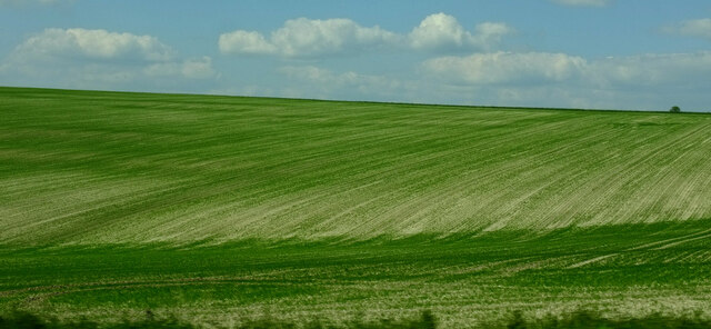
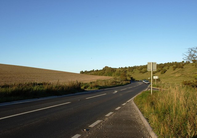
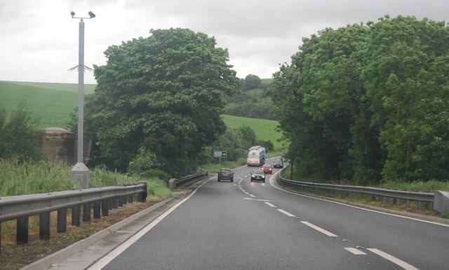
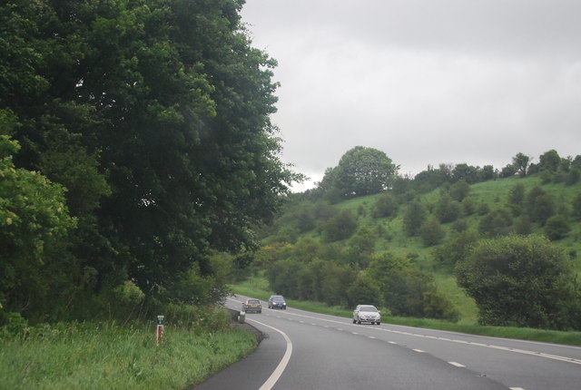
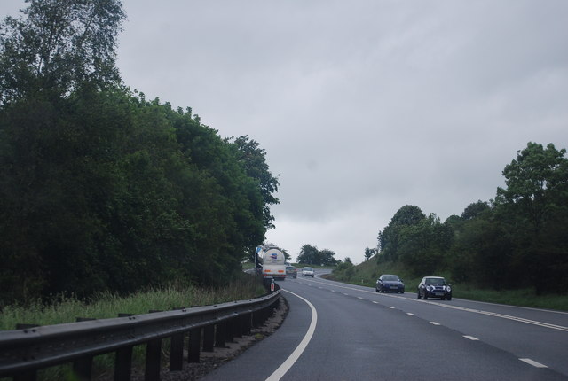
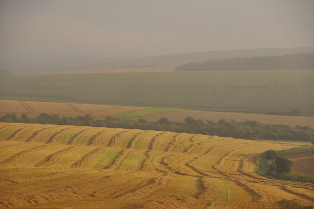
Longmead Coppice, located in Wiltshire, is a picturesque woodland area characterized by its rich biodiversity and serene surroundings. Covering an approximate area of 50 acres, this deciduous forest is home to a variety of tree species, including oak, beech, ash, and birch. The dense canopy formed by these trees creates a shaded and cool atmosphere, making it a perfect retreat during hot summer days.

Longmead Coppice also boasts a diverse range of wildlife. The forest provides a habitat for numerous bird species, such as woodpeckers, owls, and songbirds, making it a haven for birdwatching enthusiasts. Additionally, small mammals like squirrels and foxes can often be spotted scurrying through the undergrowth.

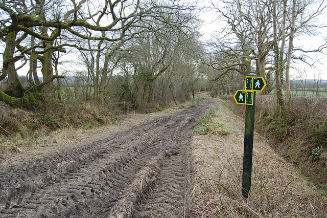
Walking through the forest, visitors can explore the well-maintained network of trails that wind through the woodland, offering a chance to immerse oneself in nature. These trails also provide access to several viewpoints, allowing visitors to appreciate the stunning views of the surrounding countryside.

Longmead Coppice is a popular destination for nature lovers, hikers, and families alike. The forest offers a tranquil and peaceful environment, making it an ideal spot for a leisurely picnic or a day out in nature. The woodland is well-preserved, with the local authorities actively engaged in conservation efforts to protect the flora and fauna within.

Overall, Longmead Coppice in Wiltshire is a true gem, offering a beautiful natural escape for those seeking solace in the great outdoors.

If you have any feedback on the listing, please let us know in the comments section below.

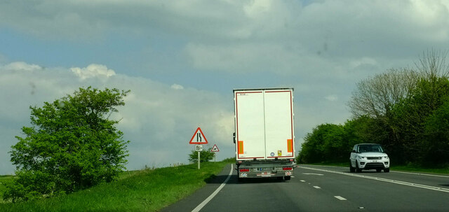
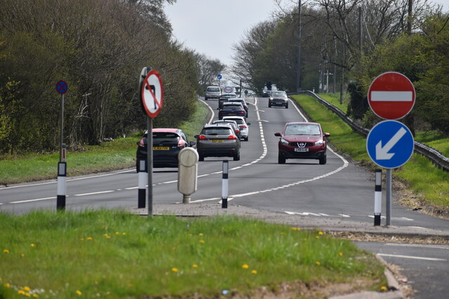
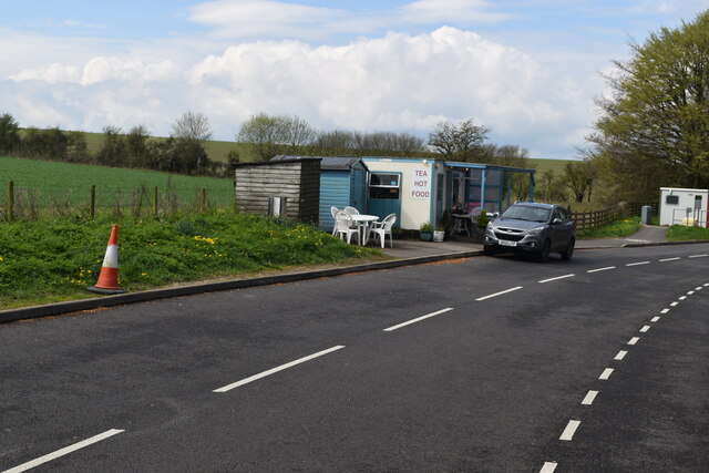
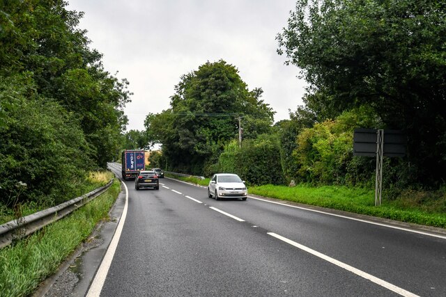
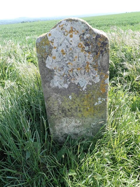
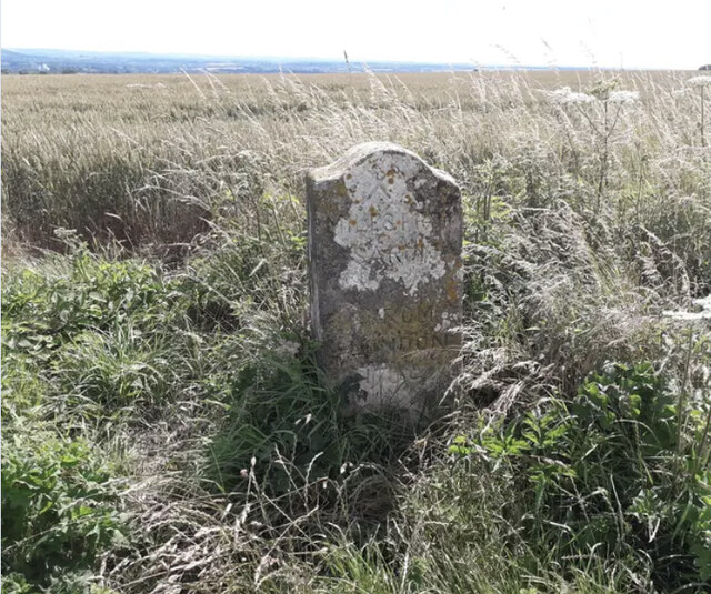
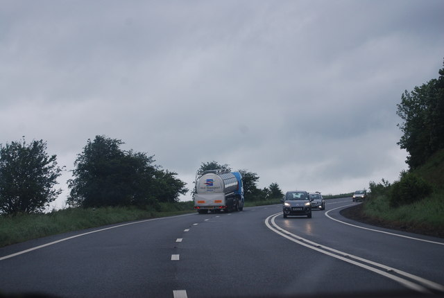
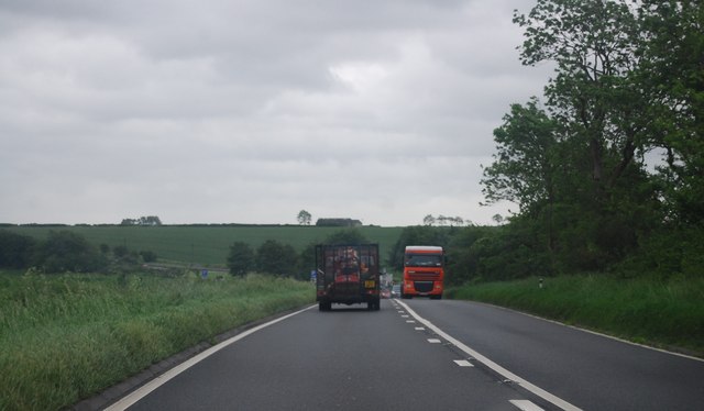
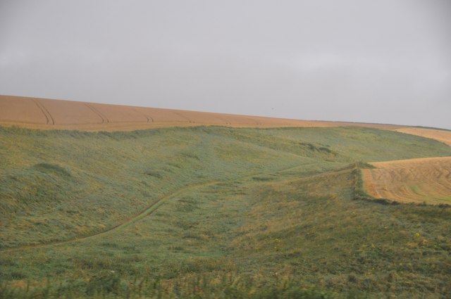
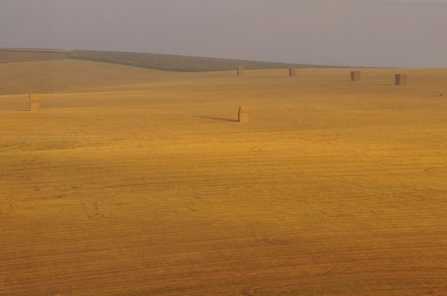
Longmead Coppice Images

Images are sourced within 2km of 51.091572/-2.2127908 or Grid Reference ST8532. Thanks to Geograph Open Source API. All images are credited.

Charnage Down Looking across a dry chalk combe from the A303.
Charnage Down
Looking across a dry chalk combe from the A303.
Chaddenwick Hill By which the A303 climbs onto the chalk.
Chaddenwick Hill
By which the A303 climbs onto the chalk.
A303 from the Willoughby Hedge lay-by Looking uphill on one of the many single carriageway sections.
A303 from the Willoughby Hedge lay-by
Looking uphill on one of the many single carriageway sections.
Willoughby Hedge Cafe Small cafe on lay-by beside the A303.
Willoughby Hedge Cafe
Small cafe on lay-by beside the A303.
Mere : Chaddenwick Hill A303 Looking along Chaddenwick Hill.
Mere : Chaddenwick Hill A303
Looking along Chaddenwick Hill.
Old Milestone on Charnage Down Carved stone post by the UC road, in parish of Mere (Salisbury District), Mere, Chaddenwick Furze; 900m North West of junction with the A303, on field edge, on South side of road. Wilton Ox-drove stone, erected by an unknown authority in the 18th century. 

Inscription reads:-
XX
MILES FROM
SARUM
XCVIII
FROM
LONDON
1750 

Grade II listed.
List Entry Number:1199935 <span class="nowrap"><a title="https://historicengland.org.uk/listing/the-list/list-entry/1199935" rel="nofollow ugc noopener" href="https://historicengland.org.uk/listing/the-list/list-entry/1199935">Link</a><img style="margin-left:2px;" alt="External link" title="External link - shift click to open in new window" src="https://s1.geograph.org.uk/img/external.png" width="10" height="10"/></span>

Milestone Society National ID: WI_SAOD20
Old Milestone on Charnage Down
Carved stone post by the UC road, in parish of Mere (Salisbury District), Mere, Chaddenwick Furze; 900m North West of junction with the A303, on field edge, on South side of road. Wilton Ox-drove stone, erected by an unknown authority in the 18th century. Inscription reads:- XX MILES FROM SARUM XCVIII FROM LONDON 1750 Grade II listed. List Entry Number:1199935 LinkExternal link Milestone Society National ID: WI_SAOD20
Footpath/ Bridleway intersection
The A303 at the foot of Chaddenwick Hill
A303 near Pinching Pierce Barn The A303 is a main trunk road running 92 miles between Basingstoke and Honiton. Along with the A30 and M3 it forms a major route between London and the South West. Much of the road is dual carriageway, but some stretches remain single and prone to congestion.

Wikipedia: <span class="nowrap"><a title="http://en.wikipedia.org/wiki/A303_road" rel="nofollow ugc noopener" href="http://en.wikipedia.org/wiki/A303_road">Link</a><img style="margin-left:2px;" alt="External link" title="External link - shift click to open in new window" src="https://s1.geograph.org.uk/img/external.png" width="10" height="10"/></span>
A303 near Pinching Pierce Barn
The A303 is a main trunk road running 92 miles between Basingstoke and Honiton. Along with the A30 and M3 it forms a major route between London and the South West. Much of the road is dual carriageway, but some stretches remain single and prone to congestion. Wikipedia: LinkExternal link
A303 west of Chaddenwick Hill The A303 is a main trunk road running 92 miles between Basingstoke and Honiton. Along with the A30 and M3 it forms a major route between London and the South West. Much of the road is dual carriageway, but some stretches remain single and prone to congestion.

Wikipedia: <span class="nowrap"><a title="http://en.wikipedia.org/wiki/A303_road" rel="nofollow ugc noopener" href="http://en.wikipedia.org/wiki/A303_road">Link</a><img style="margin-left:2px;" alt="External link" title="External link - shift click to open in new window" src="https://s1.geograph.org.uk/img/external.png" width="10" height="10"/></span>
A303 west of Chaddenwick Hill
The A303 is a main trunk road running 92 miles between Basingstoke and Honiton. Along with the A30 and M3 it forms a major route between London and the South West. Much of the road is dual carriageway, but some stretches remain single and prone to congestion. Wikipedia: LinkExternal link
A303, Chaddenwick Hill One of the steepest hills on the A303, climbing Charnage Down.
A303, Chaddenwick Hill
One of the steepest hills on the A303, climbing Charnage Down.
Chaddenwick Hill, A303 One of the steepest hills on the A303, climbing Charnage Down.
Chaddenwick Hill, A303
One of the steepest hills on the A303, climbing Charnage Down.
The A303 The A303 is a main trunk road running 92 miles between Basingstoke and Honiton. Along with the A30 and M3 it forms a major route between London and the South West. Much of the road is dual carriageway, but some stretches remain single and prone to congestion.

Wikipedia: <span class="nowrap"><a title="http://en.wikipedia.org/wiki/A303_road" rel="nofollow ugc noopener" href="http://en.wikipedia.org/wiki/A303_road">Link</a><img style="margin-left:2px;" alt="External link" title="External link - shift click to open in new window" src="https://s1.geograph.org.uk/img/external.png" width="10" height="10"/></span>
The A303
The A303 is a main trunk road running 92 miles between Basingstoke and Honiton. Along with the A30 and M3 it forms a major route between London and the South West. Much of the road is dual carriageway, but some stretches remain single and prone to congestion. Wikipedia: LinkExternal link
Salisbury District : Grassy Countryside & Hillsides The grassy countryside and hills by the A303 in Wiltshire.
Salisbury District : Grassy Countryside & Hillsides
The grassy countryside and hills by the A303 in Wiltshire.
Salisbury District : Grassy Field & Hay Bales Looking towards a grassy field off of the A303 in the former Salisbury District.
Salisbury District : Grassy Field & Hay Bales
Looking towards a grassy field off of the A303 in the former Salisbury District.
Salisbury District : Grassy Field & Countryside In the parish of West Knowle looking out to the fields on a misty morning.
Salisbury District : Grassy Field & Countryside
In the parish of West Knowle looking out to the fields on a misty morning.
The Orange Way in Wiltshire (35) Here the path reaches Pimperleaze Road.
The Orange Way in Wiltshire (35)
Here the path reaches Pimperleaze Road.
Show me another place!

Longmead Coppice is located at Grid Ref: ST8532 (Lat: 51.091572, Lng: -2.2127908)

Unitary Authority: Wiltshire

Police Authority: Wiltshire

What 3 Words

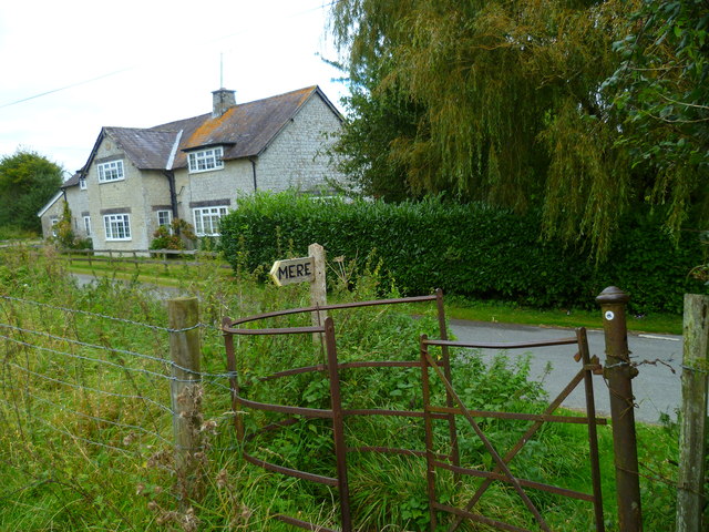
///blocking.eggplants.hospitals. Near Mere, Wiltshire

Related Wikis

West Knoyle

West Knoyle is a small village and civil parish in southwest Wiltshire, England, close to the southern edge of Salisbury Plain. The village is about 2...

Hang Wood

Hang Wood (grid reference ST861319) is a 20.3 hectare biological Site of Special Scientific Interest in Wiltshire, notified in 1986. == Sources == Natural...

Charnage Down Chalk Pit

Charnage Down Chalk Pit (grid reference ST837329) is a 3.7 hectare geological Site of Special Scientific Interest in Wiltshire, England, lying east of...

Barrow Street, Wiltshire

Barrow Street is a hamlet in Wiltshire, England, about 1.9 miles (3.1 km) southeast of the town of Mere. The name comes from the early Bronze Age bowl...

Clouds House

Clouds House, also known simply as Clouds, is a Grade II* listed building at East Knoyle in Wiltshire, England. Designed by Arts and Crafts architect Philip...

St. Mary's Church, East Knoyle

St. Mary's Church is a Church of England parish church in East Knoyle, Wiltshire, England. == History == The Church of England Parish Church of St Mary...

East Knoyle

East Knoyle is a village and civil parish in Wiltshire, in the south-west of England, just west of the A350 and about 9 miles (14 km) south of Warminster...

East Knoyle War Memorial

The East Knoyle War Memorial is a monument that commemorates the lives of soldiers from East Knoyle, Wiltshire, England, who were killed in war. Unveiled...

Nearby Amenities

Located within 500m of 51.091572,-2.2127908
West Knoyle
Is In: Wiltshire, England, UK
Place: village
Lat/Long: 51.0901705/-2.2066869
Post Box
Operator: Royal Mail
Post Box Type: lamp
Ref: BA12 73
Royal Cypher: EIIR
Royal Cypher Wikidata: Q33102113
Lat/Long: 51.0903378/-2.2186187
The data included in this document is from www.openstreetmap.org. The data is made available under ODbL.

Have you been to Longmead Coppice?

Leave your review of Longmead Coppice below (or comments, questions and feedback).