Atkin's Coppice
Wood, Forest in Wiltshire
England
Atkin's Coppice
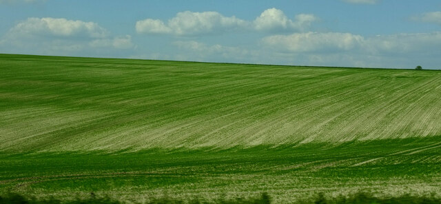
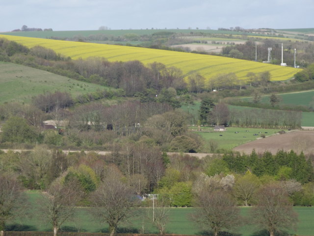
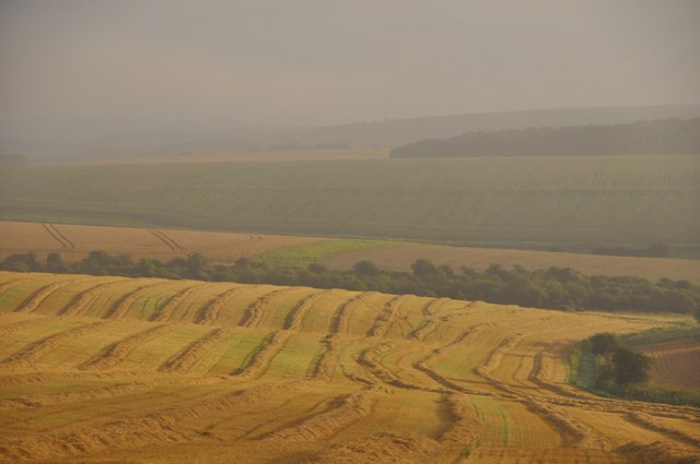
Atkin's Coppice is a picturesque woodland located in the county of Wiltshire, England. It covers an area of approximately 20 hectares and is situated near the village of Atkin's Coppice, from which it derives its name. The woodland is known for its diverse range of trees, with the dominant species being oak, ash, and beech.
The coppice has a rich history, dating back several centuries. It was traditionally managed as a coppice woodland, a practice that involves periodically cutting the trees down to ground level to encourage the growth of new shoots. This method was employed to provide a sustainable supply of timber for various purposes, including charcoal production and woodworking.
Today, Atkin's Coppice serves as a valuable natural habitat for a variety of wildlife. The dense tree canopy and undergrowth offer a sanctuary for numerous bird species, including woodpeckers, nightingales, and tawny owls. The woodland floor is also home to a wide range of flora, including bluebells, primroses, and foxgloves, which create a vibrant display during the spring months.
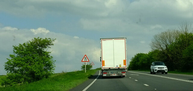
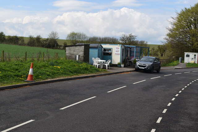
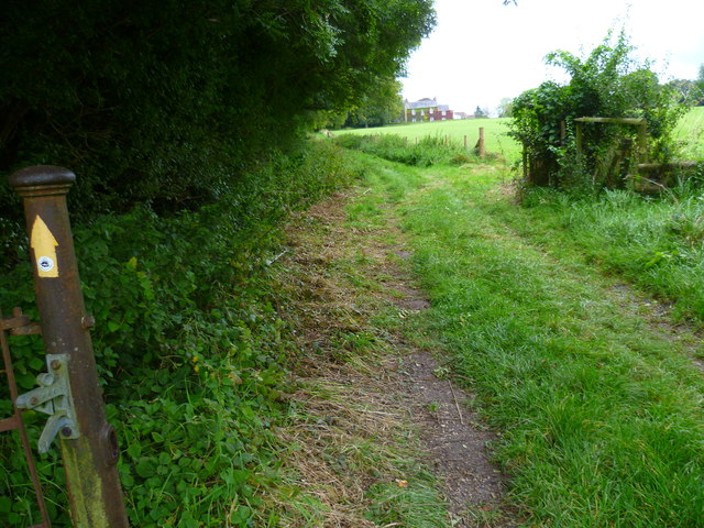
The site is popular among nature enthusiasts, walkers, and hikers, who can explore the well-maintained footpaths that wind through the woodland. These paths provide visitors with the opportunity to admire the beauty of the ancient trees and observe the various wildlife that call Atkin's Coppice their home.
In conclusion, Atkin's Coppice in Wiltshire is a charming woodland that combines natural beauty with a rich cultural and ecological heritage. It offers a peaceful retreat for those seeking a connection with nature and a glimpse into the traditional management of woodlands.
If you have any feedback on the listing, please let us know in the comments section below.
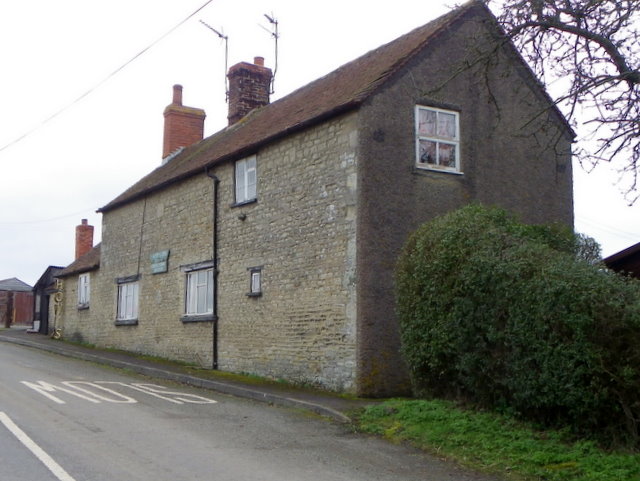
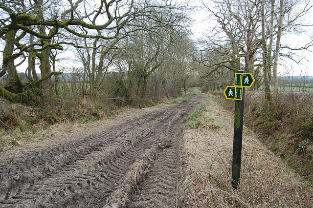
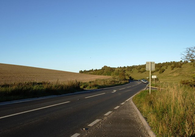
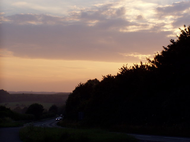
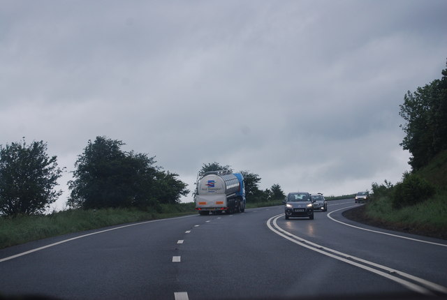
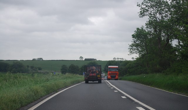
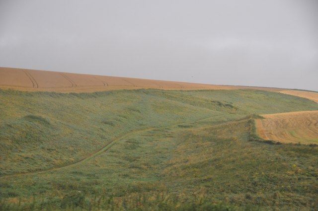
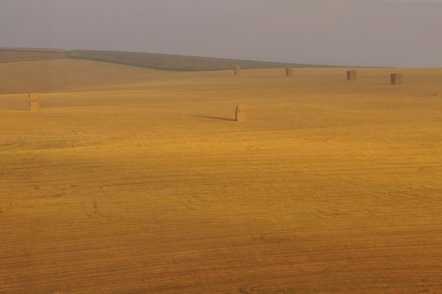
Atkin's Coppice Images
Images are sourced within 2km of 51.089499/-2.2153942 or Grid Reference ST8532. Thanks to Geograph Open Source API. All images are credited.
Atkin's Coppice is located at Grid Ref: ST8532 (Lat: 51.089499, Lng: -2.2153942)
Unitary Authority: Wiltshire
Police Authority: Wiltshire
What 3 Words
///heat.pulses.chariots. Near Mere, Wiltshire
Nearby Locations
Related Wikis

West Knoyle
West Knoyle is a small village and civil parish in southwest Wiltshire, England, close to the southern edge of Salisbury Plain. The village is about 2...

Hang Wood
Hang Wood (grid reference ST861319) is a 20.3 hectare biological Site of Special Scientific Interest in Wiltshire, notified in 1986. == Sources == Natural...
Charnage Down Chalk Pit
Charnage Down Chalk Pit (grid reference ST837329) is a 3.7 hectare geological Site of Special Scientific Interest in Wiltshire, England, lying east of...

Barrow Street, Wiltshire
Barrow Street is a hamlet in Wiltshire, England, about 1.9 miles (3.1 km) southeast of the town of Mere. The name comes from the early Bronze Age bowl...

Clouds House
Clouds House, also known simply as Clouds, is a Grade II* listed building at East Knoyle in Wiltshire, England. Designed by Arts and Crafts architect Philip...

St. Mary's Church, East Knoyle
St. Mary's Church is a Church of England parish church in East Knoyle, Wiltshire, England. == History == The Church of England Parish Church of St Mary...

Mere, Wiltshire
Mere is a market town and civil parish in Wiltshire, England. It lies at the extreme southwestern tip of Salisbury Plain, close to the borders of Somerset...

East Knoyle
East Knoyle is a village and civil parish in Wiltshire, in the south-west of England, just west of the A350 and about 9 miles (14 km) south of Warminster...
Nearby Amenities
Located within 500m of 51.089499,-2.2153942Have you been to Atkin's Coppice?
Leave your review of Atkin's Coppice below (or comments, questions and feedback).