Kyo, West

Settlement in Durham

England

Kyo, West

"Ye Old Earl Grey Inn", West Kyo, Co. Durham The word “kyo” means cows. John Buddle, the famous mining engineer, was born at Kyo in 1774, and later went on to work with the Marquis of Londonderry in the development of Seaham Harbour.
"Ye Old Earl Grey Inn", West Kyo, Co. Durham Credit: Alan Fearon

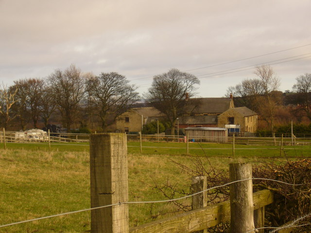
Kyo is a small village located in the county of Durham, in the North East of England. Situated within the district of West Durham, it is nestled between the towns of Stanley and Annfield Plain. The village encompasses an area of approximately one square mile and is home to a population of around 1,000 residents.

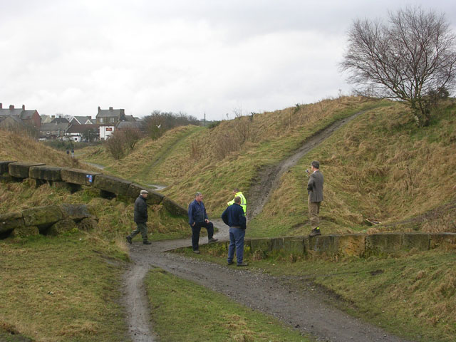
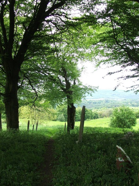
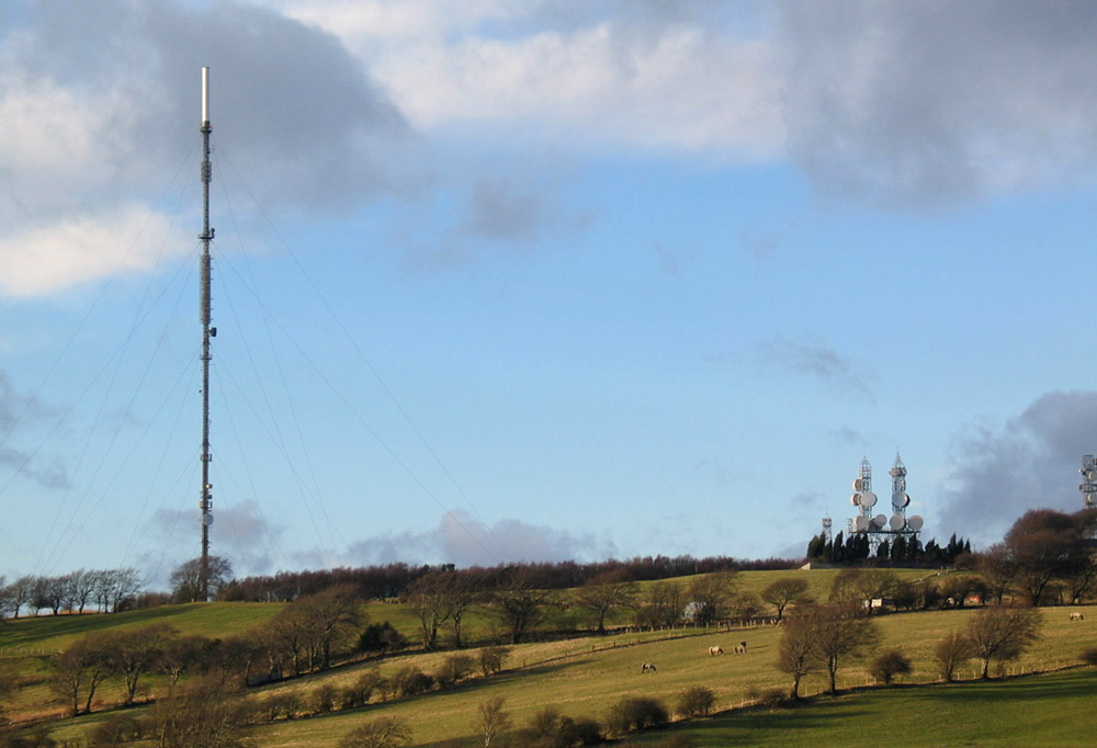
Kyo is characterized by its picturesque rural setting, surrounded by rolling hills and farmland, which contribute to its tranquil atmosphere. The village is known for its strong sense of community and close-knit residents, who take pride in preserving its historic charm and traditions.

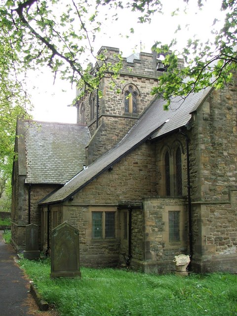
The village itself offers a range of amenities for its residents, including a local primary school, a community center, and a small number of shops and services. Kyo also boasts several green spaces, such as Kyo Field and Kyo Woods, which provide opportunities for outdoor activities and leisurely walks.

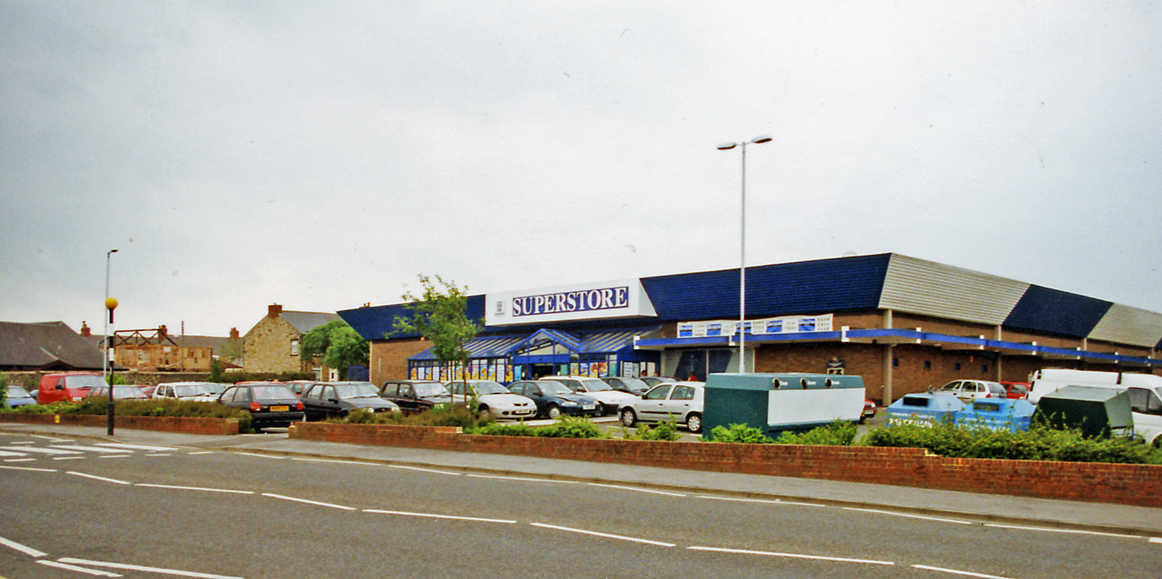
For those seeking recreational activities, the nearby town of Stanley offers a wider range of amenities, including shopping centers, leisure facilities, and a variety of dining options. The village is well-connected to the surrounding areas by road, with easy access to major transport links, making it convenient for residents to explore the wider region.

Overall, Kyo offers a peaceful and idyllic place to reside, with its natural beauty, strong community spirit, and close proximity to amenities making it an attractive location for individuals and families alike.

If you have any feedback on the listing, please let us know in the comments section below.
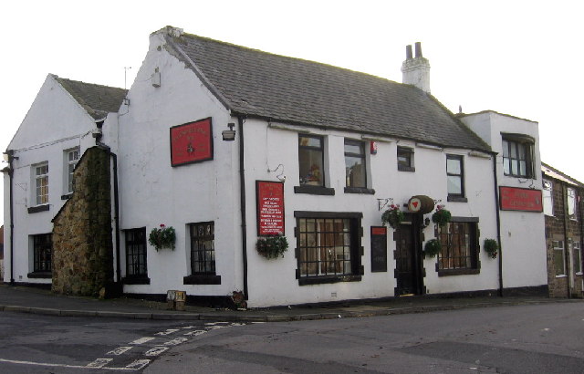
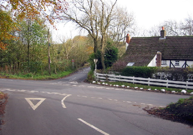
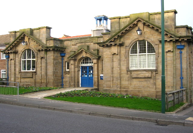
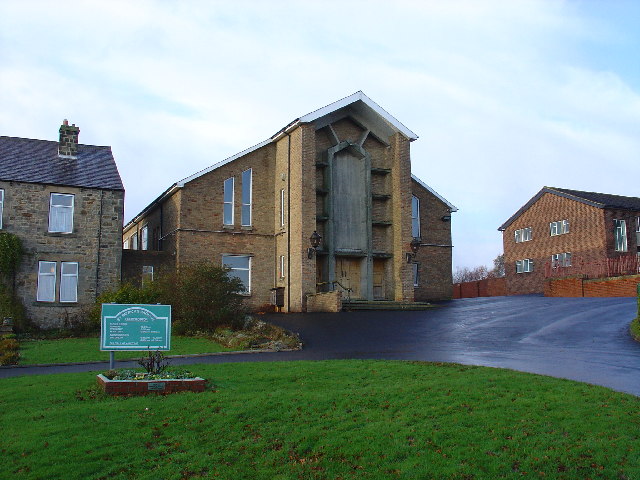
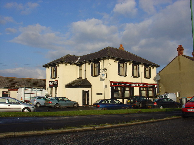
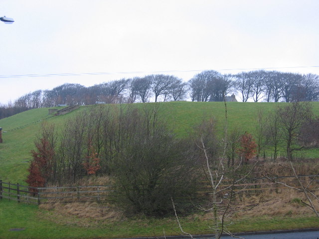
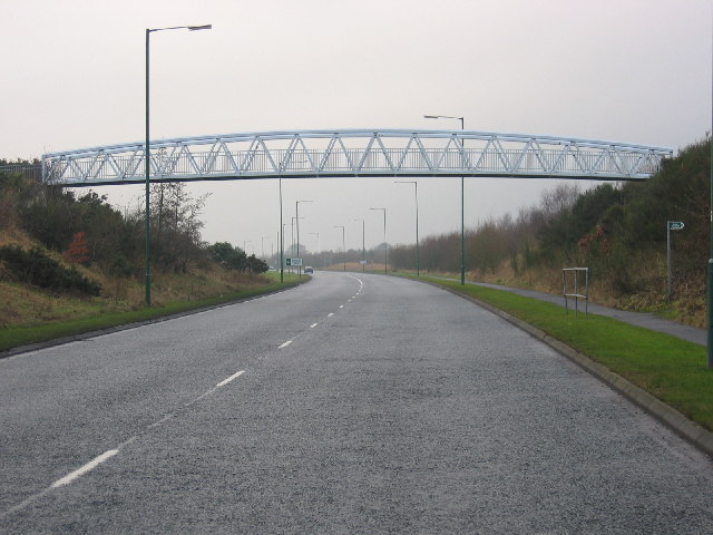
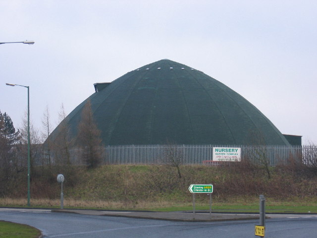
Kyo, West Images

Images are sourced within 2km of 54.866561/-1.73587 or Grid Reference NZ1752. Thanks to Geograph Open Source API. All images are credited.

"Ye Old Earl Grey Inn", West Kyo, Co. Durham The word “kyo” means cows. John Buddle, the famous mining engineer, was born at Kyo in 1774, and later went on to work with the Marquis of Londonderry in the development of Seaham Harbour.
"Ye Old Earl Grey Inn", West Kyo, Co. Durham
The word “kyo” means cows. John Buddle, the famous mining engineer, was born at Kyo in 1774, and later went on to work with the Marquis of Londonderry in the development of Seaham Harbour.
Crossroads at Kyo Heugh, Co.Durham Peter's Bank (Bushblade's Lane) joins Kyo Heugh Lane on the right, Harperley Lane on the left and Kyo Lane straight on.
Crossroads at Kyo Heugh, Co.Durham
Peter's Bank (Bushblade's Lane) joins Kyo Heugh Lane on the right, Harperley Lane on the left and Kyo Lane straight on.
Annfield Plain Public Library Durham's only Carnegie Library, this handsome building was erected in 1908.
Annfield Plain Public Library
Durham's only Carnegie Library, this handsome building was erected in 1908.
St Patricks Catholic Church, Dipton
The Ox Inn Oxhill, Stanley
The Ox Inn
Oxhill, Stanley
Loud Hill Water Works View of water works previously part of Loud Hill and Loud Reservoir all now converted to modern style covered works.
Loud Hill Water Works
View of water works previously part of Loud Hill and Loud Reservoir all now converted to modern style covered works.
Greencroft Footbridge View of part of A693 and footbridge at Greencroft Parkway next to Greekcroft Industrial Estate.
Greencroft Footbridge
View of part of A693 and footbridge at Greencroft Parkway next to Greekcroft Industrial Estate.
Salt Storage Container View of a Salt Storage container used by Derwentside District Council.  Situated near Annfield Plain on A693 heading towards Stanley.
Salt Storage Container
View of a Salt Storage container used by Derwentside District Council. Situated near Annfield Plain on A693 heading towards Stanley.
"The ravines" at New Kyo "The ravines" are a series of artistic earthworks which form an interesting obstacle on the Consett and Sunderland railway path (part of the C2C Cycle Route)
"The ravines" at New Kyo
"The ravines" are a series of artistic earthworks which form an interesting obstacle on the Consett and Sunderland railway path (part of the C2C Cycle Route)
St John the Evangelist Church Dipton I mistakenly thought this was Derwent View Methodist Church. When I visited it certainly did not look as though it was used and there was no name on the notice board outside. Sorry. <span class="nowrap"><a title="http://www.stiveschurch.co.uk/" rel="nofollow ugc noopener" href="http://www.stiveschurch.co.uk/">Link</a><img style="margin-left:2px;" alt="External link" title="External link - shift click to open in new window" src="https://s1.geograph.org.uk/img/external.png" width="10" height="10"/></span>
St John the Evangelist Church Dipton
I mistakenly thought this was Derwent View Methodist Church. When I visited it certainly did not look as though it was used and there was no name on the notice board outside. Sorry. LinkExternal link
Dinosaur? These sycamore trees shared a large root. They look like the legs and toes of some giant prehistoric animal.
Dinosaur?
These sycamore trees shared a large root. They look like the legs and toes of some giant prehistoric animal.
Seat I couldn't resist taking this bench which was facing a blank stone wall. If it had been turned 45 degrees and brought slightly forward it could have had this view <a href="https://www.geograph.org.uk/gridref/NZ1553">NZ1553</a>
Seat
I couldn't resist taking this bench which was facing a blank stone wall. If it had been turned 45 degrees and brought slightly forward it could have had this view NZ1553
View from Derwent View Church A much nicer prospect! <a href="https://www.geograph.org.uk/gridref/NZ1553">NZ1553</a>
View from Derwent View Church
A much nicer prospect! NZ1553
Annfield Plain War  Memorial War Memorial is located in the Annfield Plain Park. The monument commemorates WW1 and WW2.
Annfield Plain War Memorial
War Memorial is located in the Annfield Plain Park. The monument commemorates WW1 and WW2.
Loud Hill Memorial. Royal Air Force Seargent Pilot Joyce, after returning from a mission, lost his life when his plane crashed at this place just outside of Annfield Plain. March 13th 1918.
Loud Hill Memorial.
Royal Air Force Seargent Pilot Joyce, after returning from a mission, lost his life when his plane crashed at this place just outside of Annfield Plain. March 13th 1918.
Annfield Plain Intermediate School, New Kyo Girls school upstairs, boys school downstairs. Mr. Horsefield - Headmaster, Chemistry - Mr Dawson, Physics - Mr Boggon, French - Miss Jackson, PT - Mr Langford, History - Mr Graham, English - Miss Hislop.
Annfield Plain Intermediate School, New Kyo
Girls school upstairs, boys school downstairs. Mr. Horsefield - Headmaster, Chemistry - Mr Dawson, Physics - Mr Boggon, French - Miss Jackson, PT - Mr Langford, History - Mr Graham, English - Miss Hislop.
Stanleyburn farm
Stanleyburn farm
Lane End Farm, Pontop Pike Lane
Show me another place!

Kyo, West is located at Grid Ref: NZ1752 (Lat: 54.866561, Lng: -1.73587)

Unitary Authority: County Durham

Police Authority: Durham

What 3 Words

///household.issued.shorten. Near Annfield Plain, Co. Durham

Related Wikis

East Kyo

East Kyo is a small hamlet in County Durham, England. It is situated a short distance to the west of Stanley, close to Annfield Plain, West Kyo (15 minutes...

Catchgate

Catchgate is a former mining village in County Durham, England. It has a population of approximately 3,000 people. The nearest town is Stanley, also a...

Harelaw

Harelaw is a village in County Durham, in England. It is situated on the B6168 road to the north of Annfield Plain and Catchgate, south of Flint Hill and...

Annfield Plain

Annfield Plain is a village in County Durham, in England. It is situated on a plateau between the towns of Stanley, 4 km (2.5 mi) to the north-east, and...

New Kyo

New Kyo is a village in County Durham, in England. It is situated close to the A693 road between Annfield Plain and Stanley, and is slightly larger than...

Harperley

Harperley is a small village in County Durham, England. It is situated between Tantobie to the north east, Tanfield Lea to the east, Stanley to the south...

Annfield Plain railway station

Annfield Plain railway station was in County Durham in Northern England, on the original south section of the industrial Stanhope and Tyne Railway, which...

Derwentside

Derwentside was, from 1974 to 2009, a local government district in County Durham, England. The district took its name from the River Derwent, which made...

Nearby Amenities

Located within 500m of 54.866561,-1.73587
West Kyo
Place: hamlet
Wikidata: Q7985667
Wikipedia: en:West Kyo
Lat/Long: 54.8659056/-1.7375707
Bus Stop
Earl Grey
Naptan AtcoCode: 13001450B
Naptan Bearing: NE
Naptan CommonName: Earl Grey
Naptan Indicator: north east bound
Naptan Landmark: Opposite pub
Naptan NaptanCode: duradtdp
Naptan Street: Front Street
Naptan Verified: no
Source: naptan_import
Lat/Long: 54.8654456/-1.737545
Bus Stop
Earl Grey
Naptan AtcoCode: 13001450F
Naptan Bearing: SW
Naptan CommonName: Earl Grey
Naptan Indicator: south west bound
Naptan Landmark: Outside pub
Naptan NaptanCode: duradtdt
Naptan Street: Front Street
Naptan Verified: no
Source: naptan_import
Lat/Long: 54.8653647/-1.7375455
Power: pole
Lat/Long: 54.8671567/-1.7407016
Power: pole
Lat/Long: 54.8664944/-1.7417034
Power: pole
Lat/Long: 54.8694488/-1.7368737
Noexit: yes
Lat/Long: 54.8658405/-1.7408561
Noexit: yes
Lat/Long: 54.8657961/-1.7405433
Noexit: yes
Lat/Long: 54.8638866/-1.7376566
Noexit: yes
Lat/Long: 54.8646676/-1.7378438
Noexit: yes
Lat/Long: 54.8629671/-1.7403076
Noexit: yes
Lat/Long: 54.8636239/-1.7385534
Noexit: yes
Lat/Long: 54.86479/-1.7381218
Noexit: yes
Lat/Long: 54.8655838/-1.7434895
Noexit: yes
Lat/Long: 54.8659053/-1.7425155
Noexit: yes
Lat/Long: 54.8653689/-1.7387133
Noexit: yes
Lat/Long: 54.8656016/-1.738503
Noexit: yes
Lat/Long: 54.862485/-1.7379382
Noexit: yes
Lat/Long: 54.8663844/-1.739953
Noexit: yes
Lat/Long: 54.8659224/-1.7428664
Noexit: yes
Lat/Long: 54.8649621/-1.7428929
Noexit: yes
Lat/Long: 54.8653426/-1.7423302
Power: pole
Lat/Long: 54.8708471/-1.7344934
Power: pole
Lat/Long: 54.8702467/-1.7355153
Power: pole
Lat/Long: 54.8686045/-1.7382565
Power: pole
Lat/Long: 54.8678202/-1.7395811
Traffic Calming: cushion
Lat/Long: 54.8660823/-1.7431963
Noexit: yes
Lat/Long: 54.866036/-1.7426285
Noexit: yes
Lat/Long: 54.8657952/-1.7420612
Traffic Calming: cushion
Lat/Long: 54.8655478/-1.7424331
Traffic Calming: cushion
Lat/Long: 54.8653819/-1.7429496
Generator Method: photovoltaic
Generator Output Electricity: yes
Generator Source: solar
Generator Type: solar_photovoltaic_panel
Location: roof
Power: generator
Lat/Long: 54.8658184/-1.7413062
Generator Method: photovoltaic
Generator Output Electricity: yes
Generator Source: solar
Generator Type: solar_photovoltaic_panel
Location: roof
Power: generator
Lat/Long: 54.8647355/-1.7390987
Generator Method: photovoltaic
Generator Output Electricity: yes
Generator Source: solar
Generator Type: solar_photovoltaic_panel
Location: roof
Power: generator
Lat/Long: 54.8644731/-1.7391376
Generator Method: photovoltaic
Generator Output Electricity: yes
Generator Source: solar
Generator Type: solar_photovoltaic_panel
Location: roof
Power: generator
Lat/Long: 54.8635122/-1.7401931
Generator Method: photovoltaic
Generator Output Electricity: yes
Generator Source: solar
Generator Type: solar_photovoltaic_panel
Location: roof
Power: generator
Lat/Long: 54.8636148/-1.7415543
Give Way
Direction: forward
Lat/Long: 54.8652661/-1.7431868
Give Way
Direction: forward
Lat/Long: 54.8654374/-1.7426757
Give Way
Direction: forward
Lat/Long: 54.8656387/-1.7422572
Give Way
Direction: forward
Lat/Long: 54.865313/-1.7432319
Traffic Calming: cushion
Lat/Long: 54.8645038/-1.7426566
Traffic Calming: cushion
Lat/Long: 54.8646684/-1.7419929
Noexit: yes
Lat/Long: 54.8641729/-1.7368497
Noexit: yes
Lat/Long: 54.8639521/-1.737822
Generator Method: photovoltaic
Generator Output Electricity: yes
Generator Source: solar
Generator Type: solar_photovoltaic_panel
Location: roof
Power: generator
Lat/Long: 54.864247/-1.7390665
Noexit: yes
Lat/Long: 54.8624092/-1.7378569
The data included in this document is from www.openstreetmap.org. The data is made available under ODbL.

Have you been to Kyo, West?

Leave your review of Kyo, West below (or comments, questions and feedback).