Whicken Hill

Hill, Mountain in Durham

England

Whicken Hill

"Ye Old Earl Grey Inn", West Kyo, Co. Durham The word “kyo” means cows. John Buddle, the famous mining engineer, was born at Kyo in 1774, and later went on to work with the Marquis of Londonderry in the development of Seaham Harbour.
"Ye Old Earl Grey Inn", West Kyo, Co. Durham Credit: Alan Fearon

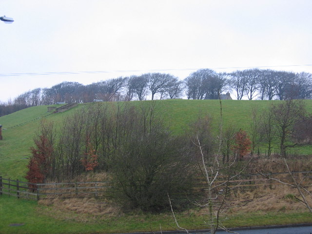
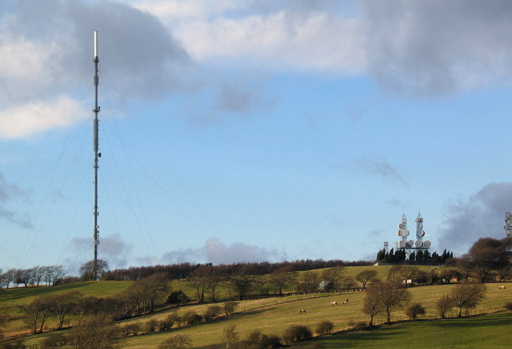
Whicken Hill is a prominent hill located in the county of Durham, in the northeast of England. Rising to an elevation of approximately 174 meters (571 feet), it is considered a significant landmark in the area. The hill is situated near the village of Whorlton, about 10 kilometers (6 miles) west of the town of Barnard Castle.

Whicken Hill boasts a diverse landscape, characterized by rolling green slopes and a mixture of grasslands and woodlands. It offers breathtaking views of the surrounding countryside, making it a popular destination for hikers, nature enthusiasts, and photographers. The summit of the hill provides an excellent vantage point to admire the picturesque Teesdale Valley and the River Tees meandering through the beautiful landscape.

The hill is also rich in historical significance. At its foot lies the 12th-century Whorlton Castle, a Norman fortress that once served as a defensive stronghold. The castle ruins are a testament to the area's medieval past and attract history buffs and visitors interested in exploring its architectural remnants.

Whicken Hill and its surroundings are home to a variety of wildlife, including small mammals, birds, and insects. The diverse habitats found here support a range of plant species, contributing to the overall biodiversity of the area.

Overall, Whicken Hill in Durham offers a blend of natural beauty, historical charm, and recreational opportunities, making it a beloved destination for locals and tourists alike.

If you have any feedback on the listing, please let us know in the comments section below.
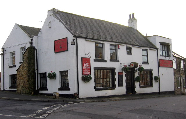
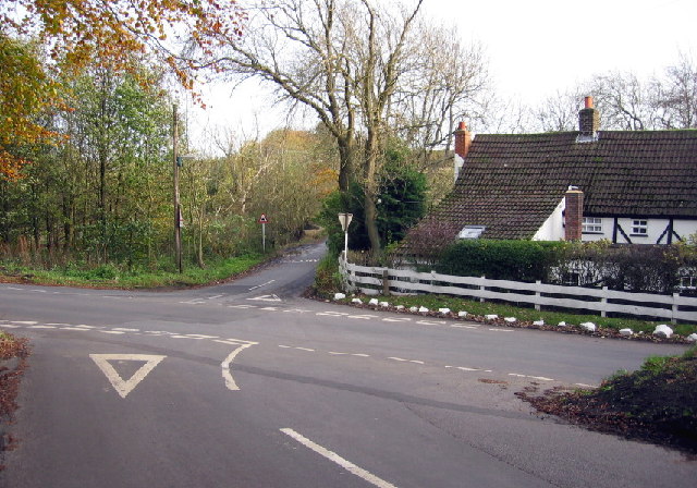
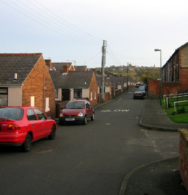
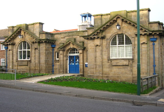
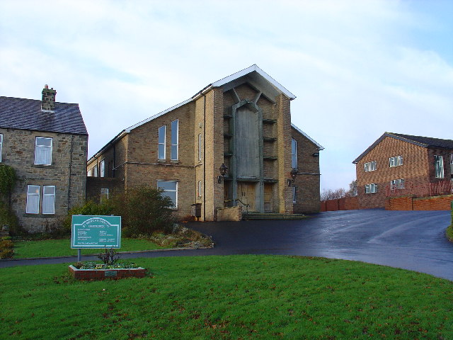
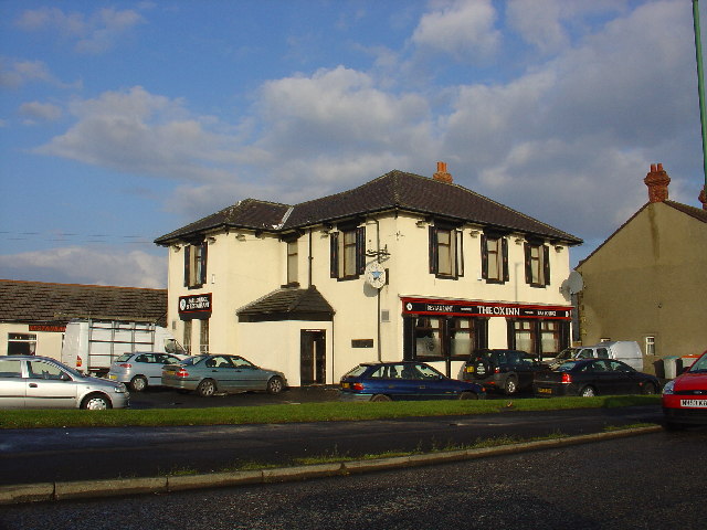
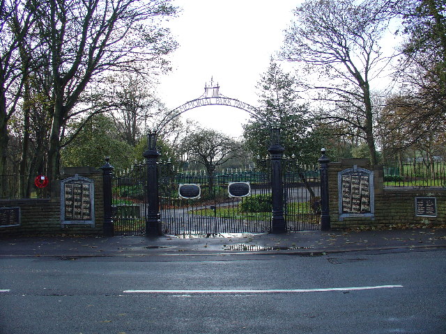
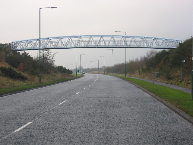
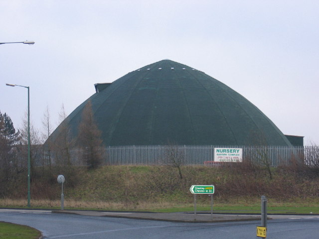
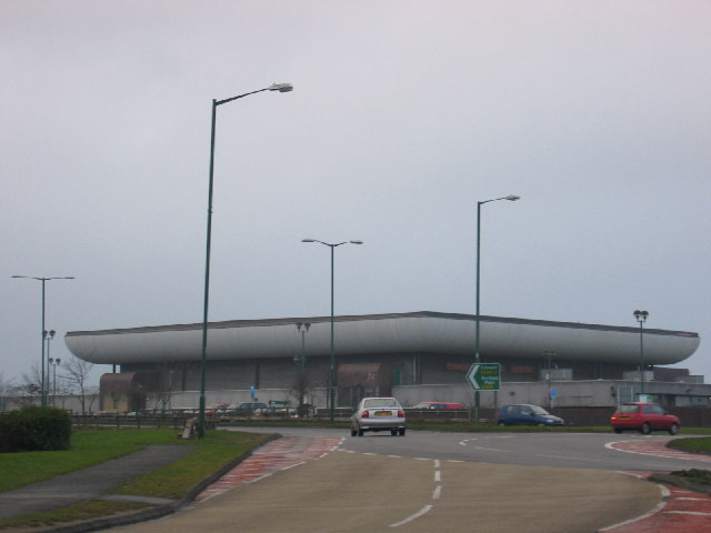
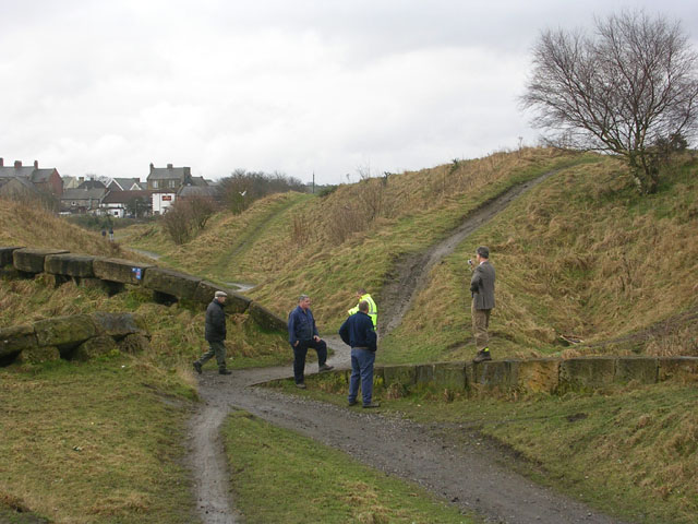
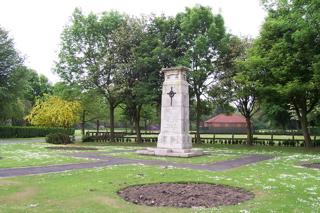
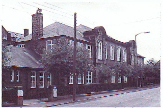
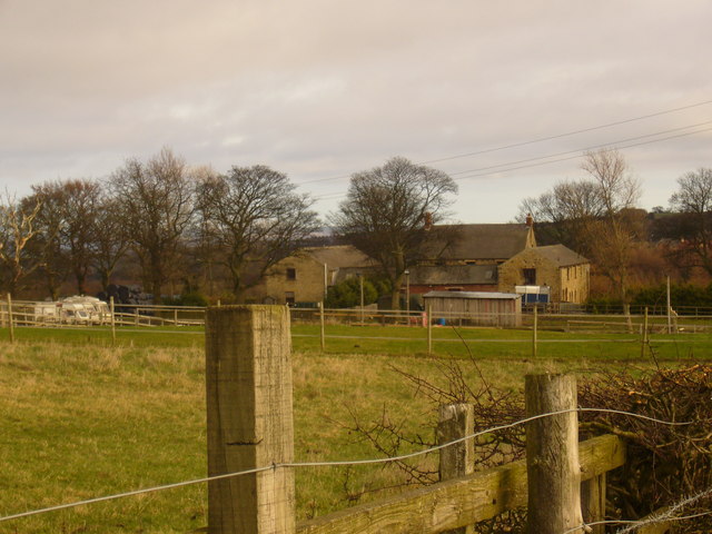
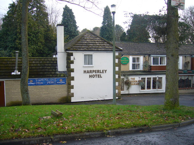
Whicken Hill Images

Images are sourced within 2km of 54.86581/-1.73043 or Grid Reference NZ1752. Thanks to Geograph Open Source API. All images are credited.

"Ye Old Earl Grey Inn", West Kyo, Co. Durham The word “kyo” means cows. John Buddle, the famous mining engineer, was born at Kyo in 1774, and later went on to work with the Marquis of Londonderry in the development of Seaham Harbour.
"Ye Old Earl Grey Inn", West Kyo, Co. Durham
The word “kyo” means cows. John Buddle, the famous mining engineer, was born at Kyo in 1774, and later went on to work with the Marquis of Londonderry in the development of Seaham Harbour.
Crossroads at Kyo Heugh, Co.Durham Peter's Bank (Bushblade's Lane) joins Kyo Heugh Lane on the right, Harperley Lane on the left and Kyo Lane straight on.
Crossroads at Kyo Heugh, Co.Durham
Peter's Bank (Bushblade's Lane) joins Kyo Heugh Lane on the right, Harperley Lane on the left and Kyo Lane straight on.
Back street in Tanfield Lea, Co. Durham Handsomely restored (but with the old coal holes still visible) these single storey houses must have looked rather different when the local colliery was open. St. Andrew's, Stanley, can just be seen on the horizon.
Back street in Tanfield Lea, Co. Durham
Handsomely restored (but with the old coal holes still visible) these single storey houses must have looked rather different when the local colliery was open. St. Andrew's, Stanley, can just be seen on the horizon.
Annfield Plain Public Library Durham's only Carnegie Library, this handsome building was erected in 1908.
Annfield Plain Public Library
Durham's only Carnegie Library, this handsome building was erected in 1908.
St Patricks Catholic Church, Dipton
The Ox Inn Oxhill, Stanley
The Ox Inn
Oxhill, Stanley
South Moor Park Entrance gates to South Moor Memorial Park.
South Moor Park
Entrance gates to South Moor Memorial Park.
Loud Hill Water Works View of water works previously part of Loud Hill and Loud Reservoir all now converted to modern style covered works.
Loud Hill Water Works
View of water works previously part of Loud Hill and Loud Reservoir all now converted to modern style covered works.
Greencroft Footbridge View of part of A693 and footbridge at Greencroft Parkway next to Greekcroft Industrial Estate.
Greencroft Footbridge
View of part of A693 and footbridge at Greencroft Parkway next to Greekcroft Industrial Estate.
Salt Storage Container View of a Salt Storage container used by Derwentside District Council.  Situated near Annfield Plain on A693 heading towards Stanley.
Salt Storage Container
View of a Salt Storage container used by Derwentside District Council. Situated near Annfield Plain on A693 heading towards Stanley.
Asda View of one of the large prominent buildings when travelling through Stanley.
Asda
View of one of the large prominent buildings when travelling through Stanley.
"The ravines" at New Kyo "The ravines" are a series of artistic earthworks which form an interesting obstacle on the Consett and Sunderland railway path (part of the C2C Cycle Route)
"The ravines" at New Kyo
"The ravines" are a series of artistic earthworks which form an interesting obstacle on the Consett and Sunderland railway path (part of the C2C Cycle Route)
Annfield Plain War  Memorial War Memorial is located in the Annfield Plain Park. The monument commemorates WW1 and WW2.
Annfield Plain War Memorial
War Memorial is located in the Annfield Plain Park. The monument commemorates WW1 and WW2.
Annfield Plain Intermediate School, New Kyo Girls school upstairs, boys school downstairs. Mr. Horsefield - Headmaster, Chemistry - Mr Dawson, Physics - Mr Boggon, French - Miss Jackson, PT - Mr Langford, History - Mr Graham, English - Miss Hislop.
Annfield Plain Intermediate School, New Kyo
Girls school upstairs, boys school downstairs. Mr. Horsefield - Headmaster, Chemistry - Mr Dawson, Physics - Mr Boggon, French - Miss Jackson, PT - Mr Langford, History - Mr Graham, English - Miss Hislop.
The Louisa Centre, Stanley Council owned sports and leisure centre
The Louisa Centre, Stanley
Council owned sports and leisure centre
Stanleyburn farm
Stanleyburn farm
Harperley Hotel
Harperley Hotel
South Moor Methodist Chapel
Show me another place!

Whicken Hill is located at Grid Ref: NZ1752 (Lat: 54.86581, Lng: -1.73043)

Unitary Authority: County Durham

Police Authority: Durham

What 3 Words

///housework.accent.cheaply. Near Annfield Plain, Co. Durham

Related Wikis

East Kyo

East Kyo is a small hamlet in County Durham, England. It is situated a short distance to the west of Stanley, close to Annfield Plain, West Kyo (15 minutes...

New Kyo

New Kyo is a village in County Durham, in England. It is situated close to the A693 road between Annfield Plain and Stanley, and is slightly larger than...
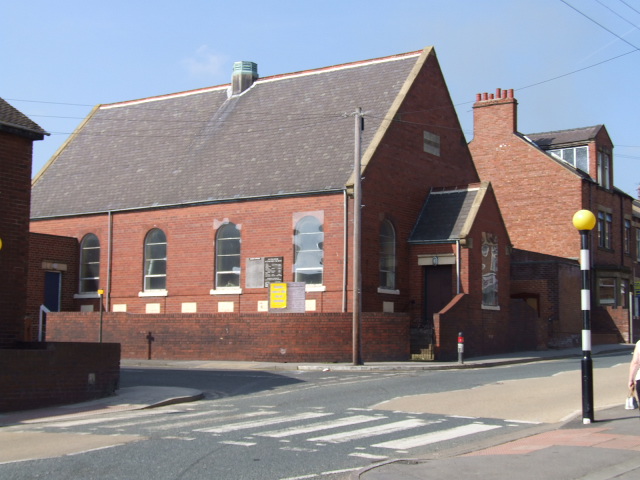
Annfield Plain

Annfield Plain is a village in County Durham, in England. It is situated on a plateau between the towns of Stanley, 4 km (2.5 mi) to the north-east, and...

Harperley

Harperley is a small village in County Durham, England. It is situated between Tantobie to the north east, Tanfield Lea to the east, Stanley to the south...

Annfield Plain railway station

Annfield Plain railway station was in County Durham in Northern England, on the original south section of the industrial Stanhope and Tyne Railway, which...

Catchgate

Catchgate is a former mining village in County Durham, England. It has a population of approximately 3,000 people. The nearest town is Stanley, also a...

Harelaw

Harelaw is a village in County Durham, in England. It is situated on the B6168 road to the north of Annfield Plain and Catchgate, south of Flint Hill and...

Oxhill, County Durham

Oxhill is a small village in County Durham, in England. It is located to the west of Stanley, on the bottom of the hill which leads up to New Kyo and Annfield...

Nearby Amenities

Located within 500m of 54.86581,-1.73043
West Kyo
Place: hamlet
Wikidata: Q7985667
Wikipedia: en:West Kyo
Lat/Long: 54.8659056/-1.7375707
Bus Stop
Earl Grey
Naptan AtcoCode: 13001450B
Naptan Bearing: NE
Naptan CommonName: Earl Grey
Naptan Indicator: north east bound
Naptan Landmark: Opposite pub
Naptan NaptanCode: duradtdp
Naptan Street: Front Street
Naptan Verified: no
Source: naptan_import
Lat/Long: 54.8654456/-1.737545
Bus Stop
Earl Grey
Naptan AtcoCode: 13001450F
Naptan Bearing: SW
Naptan CommonName: Earl Grey
Naptan Indicator: south west bound
Naptan Landmark: Outside pub
Naptan NaptanCode: duradtdt
Naptan Street: Front Street
Naptan Verified: no
Source: naptan_import
Lat/Long: 54.8653647/-1.7375455
Noexit: yes
Lat/Long: 54.8646676/-1.7378438
Annfield East Junction
Alt Name: Annfield Plain Junction
Historic Railway: junction
Railway: site
Lat/Long: 54.8615846/-1.7323486
Noexit: yes
Lat/Long: 54.8641729/-1.7368497
The data included in this document is from www.openstreetmap.org. The data is made available under ODbL.

Have you been to Whicken Hill?

Leave your review of Whicken Hill below (or comments, questions and feedback).