East Kyo

Settlement in Durham

England

East Kyo

St.Andrew's Church, Stanley, Co. Durham For a tragic story associated with the church see:
<span class="nowrap"><a title="http://www.thisisthenortheast.co.uk/the_north_east/news/campaigns/memorial/pages/160202_1.html" rel="nofollow ugc noopener" href="http://www.thisisthenortheast.co.uk/the_north_east/news/campaigns/memorial/pages/160202_1.html">Link</a><img style="margin-left:2px;" alt="External link" title="External link - shift click to open in new window" src="https://s1.geograph.org.uk/img/external.png" width="10" height="10"/></span>
St.Andrew's Church, Stanley, Co. Durham Credit: Alan Fearon

East Kyo is a small village located in County Durham, in the northeast of England. It is situated approximately 5 miles northwest of the city of Durham and lies within the civil parish of Lanchester. With a population of around 300 residents, East Kyo is a close-knit community that offers a peaceful countryside setting.

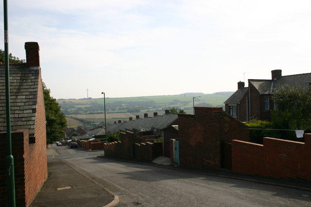
The village is known for its picturesque surroundings, characterized by rolling hills, farmlands, and lush greenery. It is an ideal location for nature enthusiasts and those seeking tranquility away from the bustling city life. The nearby River Browney adds to the natural beauty of the area, providing opportunities for leisurely walks and fishing.

Historically, East Kyo was primarily an agricultural village, with farming playing a significant role in its economy. However, over the years, the village has seen some diversification, with a few small businesses and services catering to the local community.

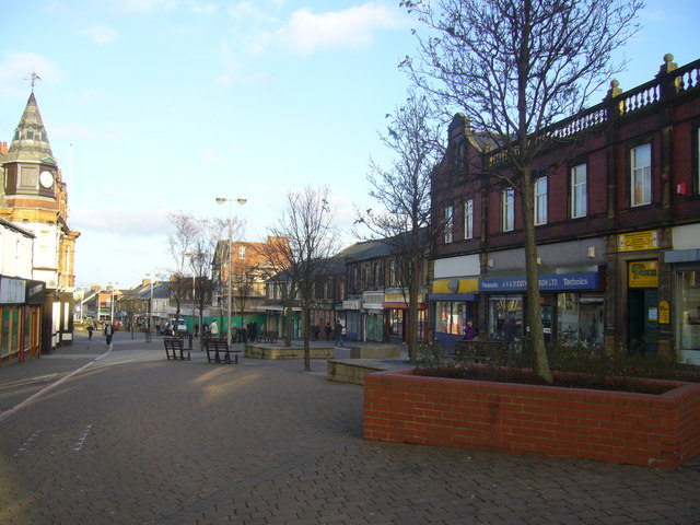
Despite its small size, East Kyo benefits from its close proximity to the city of Durham, which offers a wider range of amenities, including shopping centers, schools, and healthcare facilities. The village is well-connected to the surrounding areas through local bus services, providing easy access to neighboring towns and cities.

East Kyo offers a peaceful and idyllic setting for residents, with its natural beauty and community spirit. It is a place where residents can enjoy a rural lifestyle while still having the convenience of nearby urban amenities.

If you have any feedback on the listing, please let us know in the comments section below.
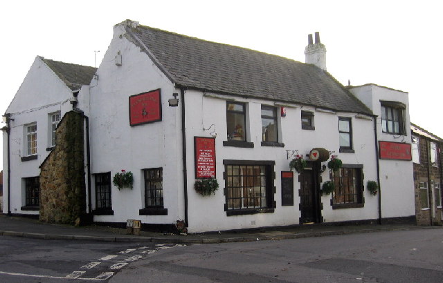
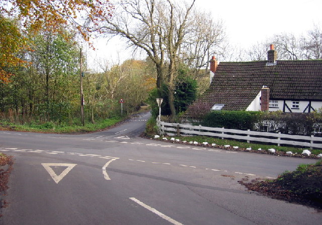
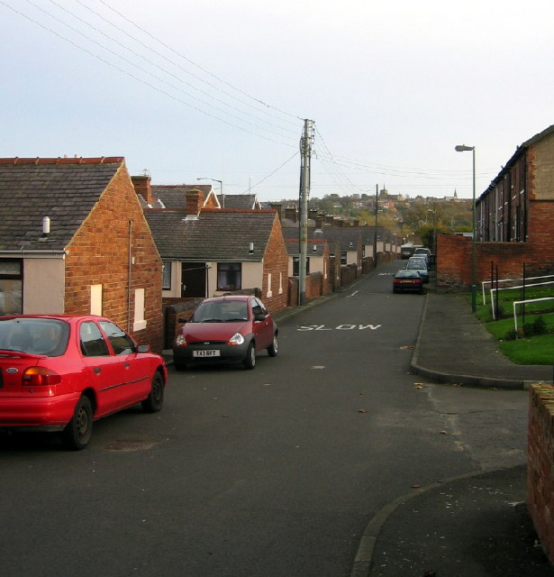
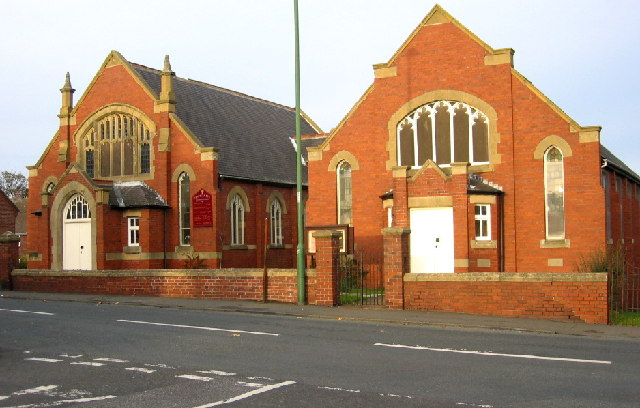
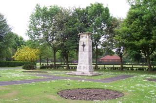
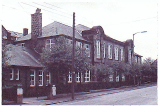
East Kyo Images

Images are sourced within 2km of 54.869053/-1.724946 or Grid Reference NZ1752. Thanks to Geograph Open Source API. All images are credited.

St.Andrew's Church, Stanley, Co. Durham For a tragic story associated with the church see:
<span class="nowrap"><a title="http://www.thisisthenortheast.co.uk/the_north_east/news/campaigns/memorial/pages/160202_1.html" rel="nofollow ugc noopener" href="http://www.thisisthenortheast.co.uk/the_north_east/news/campaigns/memorial/pages/160202_1.html">Link</a><img style="margin-left:2px;" alt="External link" title="External link - shift click to open in new window" src="https://s1.geograph.org.uk/img/external.png" width="10" height="10"/></span>
St.Andrew's Church, Stanley, Co. Durham
For a tragic story associated with the church see: LinkExternal link
"Ye Old Earl Grey Inn", West Kyo, Co. Durham The word “kyo” means cows. John Buddle, the famous mining engineer, was born at Kyo in 1774, and later went on to work with the Marquis of Londonderry in the development of Seaham Harbour.
"Ye Old Earl Grey Inn", West Kyo, Co. Durham
The word “kyo” means cows. John Buddle, the famous mining engineer, was born at Kyo in 1774, and later went on to work with the Marquis of Londonderry in the development of Seaham Harbour.
Crossroads at Kyo Heugh, Co.Durham Peter's Bank (Bushblade's Lane) joins Kyo Heugh Lane on the right, Harperley Lane on the left and Kyo Lane straight on.
Crossroads at Kyo Heugh, Co.Durham
Peter's Bank (Bushblade's Lane) joins Kyo Heugh Lane on the right, Harperley Lane on the left and Kyo Lane straight on.
Back street in Tanfield Lea, Co. Durham Handsomely restored (but with the old coal holes still visible) these single storey houses must have looked rather different when the local colliery was open. St. Andrew's, Stanley, can just be seen on the horizon.
Back street in Tanfield Lea, Co. Durham
Handsomely restored (but with the old coal holes still visible) these single storey houses must have looked rather different when the local colliery was open. St. Andrew's, Stanley, can just be seen on the horizon.
Tanfield Lea Methodist Church and Hall Two splendid buildings in  a small village
Tanfield Lea Methodist Church and Hall
Two splendid buildings in a small village
Annfield Plain Public Library Durham's only Carnegie Library, this handsome building was erected in 1908.
Annfield Plain Public Library
Durham's only Carnegie Library, this handsome building was erected in 1908.
St Patricks Catholic Church, Dipton
The Ox Inn Oxhill, Stanley
The Ox Inn
Oxhill, Stanley
South Moor Park Entrance gates to South Moor Memorial Park.
South Moor Park
Entrance gates to South Moor Memorial Park.
Salt Storage Container View of a Salt Storage container used by Derwentside District Council.  Situated near Annfield Plain on A693 heading towards Stanley.
Salt Storage Container
View of a Salt Storage container used by Derwentside District Council. Situated near Annfield Plain on A693 heading towards Stanley.
Asda View of one of the large prominent buildings when travelling through Stanley.
Asda
View of one of the large prominent buildings when travelling through Stanley.
Oak Tree Inn, Tantobie
"The ravines" at New Kyo "The ravines" are a series of artistic earthworks which form an interesting obstacle on the Consett and Sunderland railway path (part of the C2C Cycle Route)
"The ravines" at New Kyo
"The ravines" are a series of artistic earthworks which form an interesting obstacle on the Consett and Sunderland railway path (part of the C2C Cycle Route)
Annfield Plain War  Memorial War Memorial is located in the Annfield Plain Park. The monument commemorates WW1 and WW2.
Annfield Plain War Memorial
War Memorial is located in the Annfield Plain Park. The monument commemorates WW1 and WW2.
Annfield Plain Intermediate School, New Kyo Girls school upstairs, boys school downstairs. Mr. Horsefield - Headmaster, Chemistry - Mr Dawson, Physics - Mr Boggon, French - Miss Jackson, PT - Mr Langford, History - Mr Graham, English - Miss Hislop.
Annfield Plain Intermediate School, New Kyo
Girls school upstairs, boys school downstairs. Mr. Horsefield - Headmaster, Chemistry - Mr Dawson, Physics - Mr Boggon, French - Miss Jackson, PT - Mr Langford, History - Mr Graham, English - Miss Hislop.
South Stanley, Co. Durham Taken near Tweed Terrace, view to South.
South Stanley, Co. Durham
Taken near Tweed Terrace, view to South.
The Louisa Centre, Stanley Council owned sports and leisure centre
The Louisa Centre, Stanley
Council owned sports and leisure centre
Stanley Front Street looking towards the Imperial Hotel
Show me another place!

East Kyo is located at Grid Ref: NZ1752 (Lat: 54.869053, Lng: -1.724946)

Unitary Authority: County Durham

Police Authority: Durham

What 3 Words

///chuck.command.steep. Near Annfield Plain, Co. Durham

Related Wikis

East Kyo

East Kyo is a small hamlet in County Durham, England. It is situated a short distance to the west of Stanley, close to Annfield Plain, West Kyo (15 minutes...

Harperley

Harperley is a small village in County Durham, England. It is situated between Tantobie to the north east, Tanfield Lea to the east, Stanley to the south...

New Kyo

New Kyo is a village in County Durham, in England. It is situated close to the A693 road between Annfield Plain and Stanley, and is slightly larger than...

Oxhill, County Durham

Oxhill is a small village in County Durham, in England. It is located to the west of Stanley, on the bottom of the hill which leads up to New Kyo and Annfield...

Nearby Amenities

Located within 500m of 54.869053,-1.724946
Harperley Hotel
Disused Tourism: hotel
Image: https://www.geograph.org.uk/photo/4226882
Lat/Long: 54.872599/-1.7242453
Bus Stop
Harperley Crossroads
Naptan AtcoCode: 13001449B
Naptan Bearing: NE
Naptan CommonName: Harperley Crossroads
Naptan Indicator: north east bound
Naptan Landmark: Crossroads
Naptan NaptanCode: duradtdj
Naptan Street: Kyo Heugh Road
Naptan Verified: no
Source: naptan_import
Lat/Long: 54.8712864/-1.7290923
Bus Stop
Harperley Crossroads
Naptan AtcoCode: 13001449F
Naptan Bearing: SW
Naptan CommonName: Harperley Crossroads
Naptan Indicator: south west bound
Naptan Landmark: Crossroads
Naptan NaptanCode: duradtdm
Naptan Street: Kyo Heugh Road
Naptan Verified: no
Source: naptan_import
Lat/Long: 54.8712234/-1.7290927
Power: tower
Lat/Long: 54.8682009/-1.7193993
Power: tower
Lat/Long: 54.866412/-1.7189769
Power: tower
Lat/Long: 54.8702593/-1.7179303
Give Way
Direction: forward
Lat/Long: 54.8713797/-1.7289222
Give Way
Direction: forward
Lat/Long: 54.8713588/-1.7288059
The data included in this document is from www.openstreetmap.org. The data is made available under ODbL.

Have you been to East Kyo?

Leave your review of East Kyo below (or comments, questions and feedback).