Annfield Plain

Settlement in Durham

England

Annfield Plain

"Ye Old Earl Grey Inn", West Kyo, Co. Durham The word “kyo” means cows. John Buddle, the famous mining engineer, was born at Kyo in 1774, and later went on to work with the Marquis of Londonderry in the development of Seaham Harbour.
"Ye Old Earl Grey Inn", West Kyo, Co. Durham Credit: Alan Fearon

Annfield Plain is a small village located in County Durham, England. Situated approximately 10 miles southwest of Newcastle upon Tyne, the village falls within the district of Stanley. Annfield Plain is surrounded by beautiful countryside and offers a peaceful and tranquil atmosphere.

The village has a long and rich history, with evidence of human settlement dating back to the Neolithic period. Over the years, Annfield Plain has evolved from a primarily agricultural community to a residential area. Today, it is a vibrant and close-knit community with a population of around 2,500 residents.

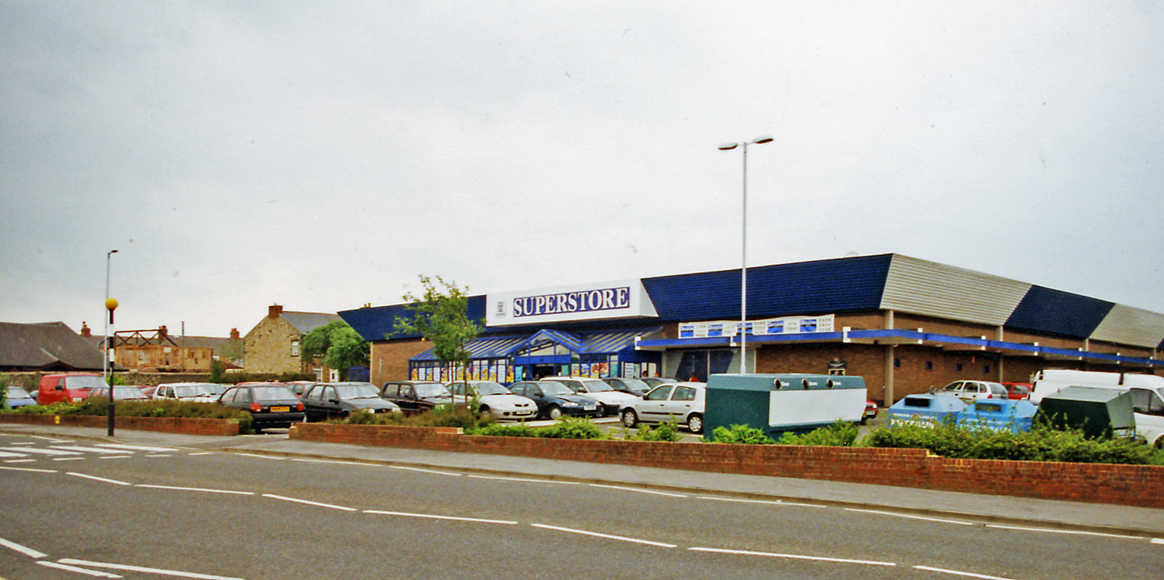
Annfield Plain boasts a range of amenities and facilities, including several shops, pubs, and eateries, making it a self-sufficient village. The village is also well-served by public transportation, with regular bus services connecting it to nearby towns and cities.

Education is well catered for in Annfield Plain, with a primary school and a secondary school providing quality education to the local children. The village also has a community center that hosts various activities and events, fostering a strong sense of community spirit.

For those who enjoy outdoor activities, Annfield Plain offers easy access to the stunning countryside of County Durham. The nearby Derwent Walk Country Park provides ample opportunities for walking, cycling, and picnicking.

In conclusion, Annfield Plain is a charming village in County Durham that offers a peaceful and friendly environment for its residents. With its rich history, amenities, and access to beautiful countryside, it is a desirable place to live for those seeking a close-knit community with a rural feel.

If you have any feedback on the listing, please let us know in the comments section below.

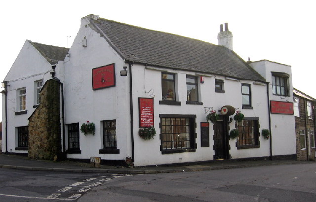
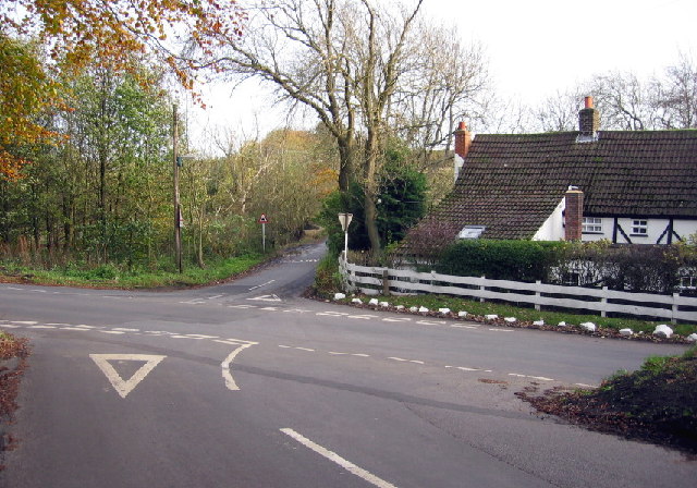
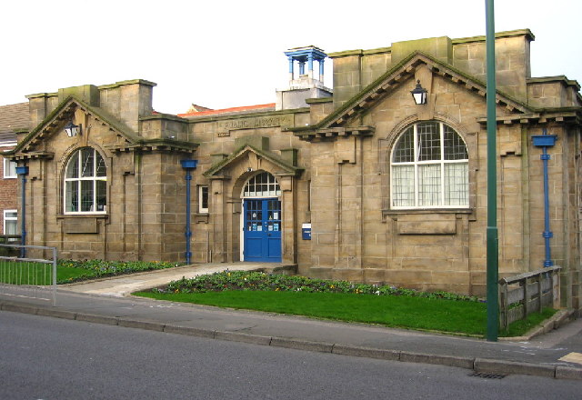
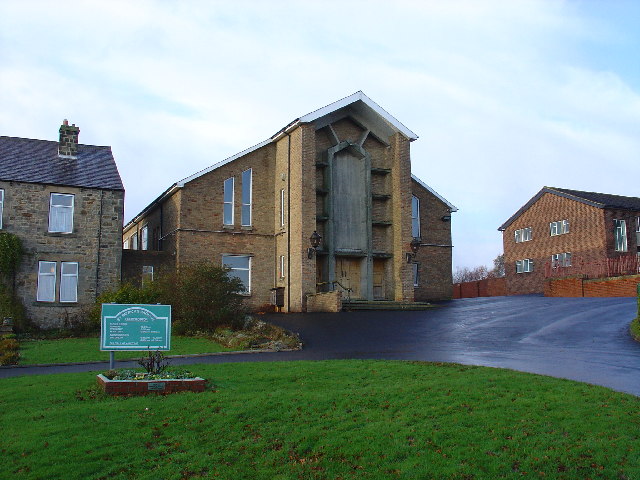
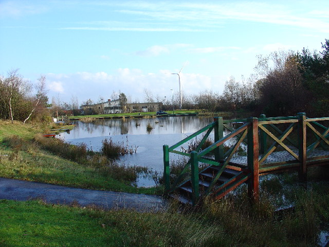
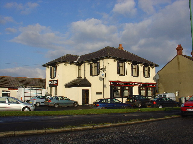
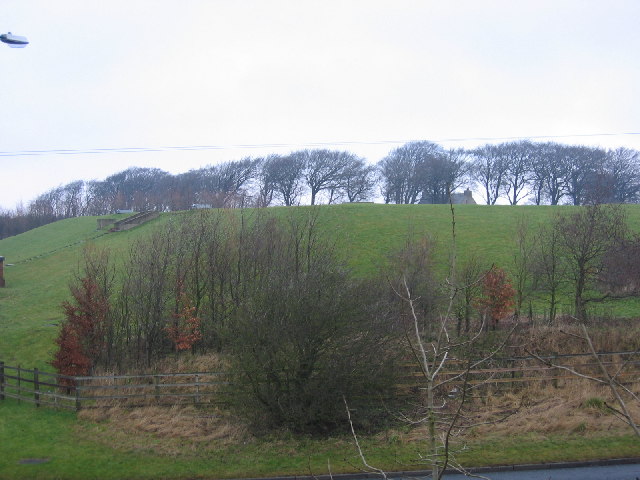
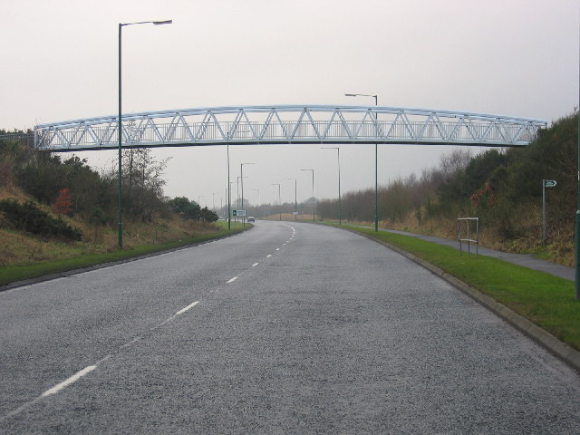
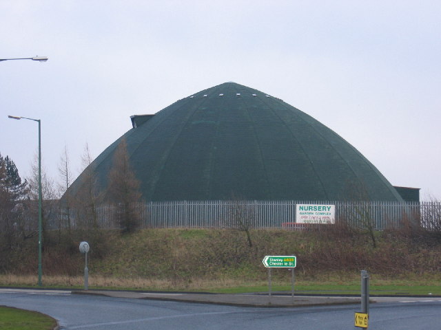
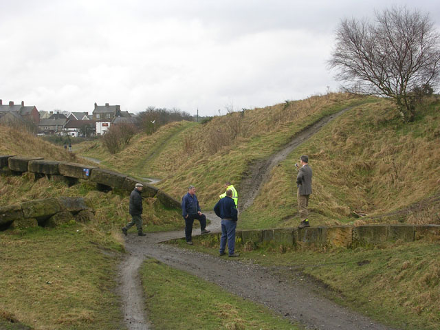
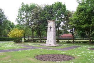
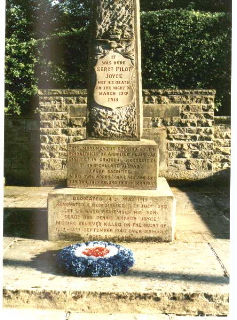
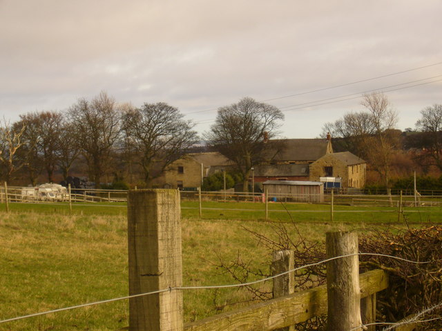
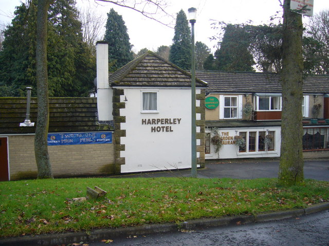
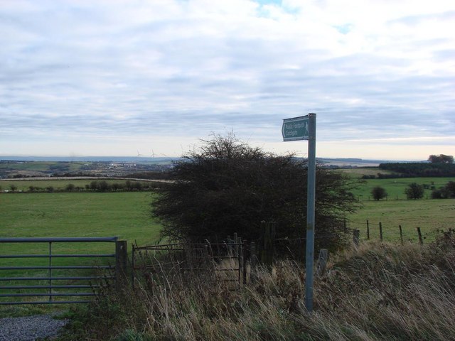
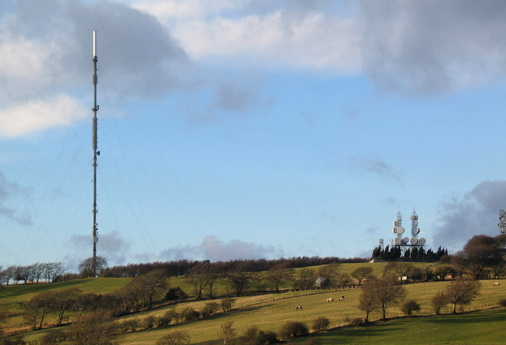
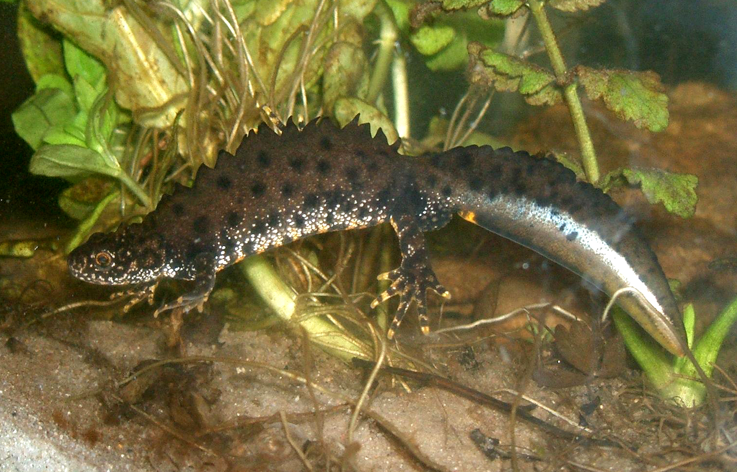
Annfield Plain Images

Images are sourced within 2km of 54.864221/-1.734327 or Grid Reference NZ1752. Thanks to Geograph Open Source API. All images are credited.

"Ye Old Earl Grey Inn", West Kyo, Co. Durham The word “kyo” means cows. John Buddle, the famous mining engineer, was born at Kyo in 1774, and later went on to work with the Marquis of Londonderry in the development of Seaham Harbour.
"Ye Old Earl Grey Inn", West Kyo, Co. Durham
The word “kyo” means cows. John Buddle, the famous mining engineer, was born at Kyo in 1774, and later went on to work with the Marquis of Londonderry in the development of Seaham Harbour.
Crossroads at Kyo Heugh, Co.Durham Peter's Bank (Bushblade's Lane) joins Kyo Heugh Lane on the right, Harperley Lane on the left and Kyo Lane straight on.
Crossroads at Kyo Heugh, Co.Durham
Peter's Bank (Bushblade's Lane) joins Kyo Heugh Lane on the right, Harperley Lane on the left and Kyo Lane straight on.
Annfield Plain Public Library Durham's only Carnegie Library, this handsome building was erected in 1908.
Annfield Plain Public Library
Durham's only Carnegie Library, this handsome building was erected in 1908.
St Patricks Catholic Church, Dipton
Greencroft Pond Within Greencroft Industrial Estate
Greencroft Pond
Within Greencroft Industrial Estate
The Ox Inn Oxhill, Stanley
The Ox Inn
Oxhill, Stanley
Loud Hill Water Works View of water works previously part of Loud Hill and Loud Reservoir all now converted to modern style covered works.
Loud Hill Water Works
View of water works previously part of Loud Hill and Loud Reservoir all now converted to modern style covered works.
Greencroft Footbridge View of part of A693 and footbridge at Greencroft Parkway next to Greekcroft Industrial Estate.
Greencroft Footbridge
View of part of A693 and footbridge at Greencroft Parkway next to Greekcroft Industrial Estate.
Salt Storage Container View of a Salt Storage container used by Derwentside District Council.  Situated near Annfield Plain on A693 heading towards Stanley.
Salt Storage Container
View of a Salt Storage container used by Derwentside District Council. Situated near Annfield Plain on A693 heading towards Stanley.
"The ravines" at New Kyo "The ravines" are a series of artistic earthworks which form an interesting obstacle on the Consett and Sunderland railway path (part of the C2C Cycle Route)
"The ravines" at New Kyo
"The ravines" are a series of artistic earthworks which form an interesting obstacle on the Consett and Sunderland railway path (part of the C2C Cycle Route)
Annfield Plain War  Memorial War Memorial is located in the Annfield Plain Park. The monument commemorates WW1 and WW2.
Annfield Plain War Memorial
War Memorial is located in the Annfield Plain Park. The monument commemorates WW1 and WW2.
Loud Hill Memorial. Royal Air Force Seargent Pilot Joyce, after returning from a mission, lost his life when his plane crashed at this place just outside of Annfield Plain. March 13th 1918.
Loud Hill Memorial.
Royal Air Force Seargent Pilot Joyce, after returning from a mission, lost his life when his plane crashed at this place just outside of Annfield Plain. March 13th 1918.
Annfield Plain Intermediate School, New Kyo Girls school upstairs, boys school downstairs. Mr. Horsefield - Headmaster, Chemistry - Mr Dawson, Physics - Mr Boggon, French - Miss Jackson, PT - Mr Langford, History - Mr Graham, English - Miss Hislop.
Annfield Plain Intermediate School, New Kyo
Girls school upstairs, boys school downstairs. Mr. Horsefield - Headmaster, Chemistry - Mr Dawson, Physics - Mr Boggon, French - Miss Jackson, PT - Mr Langford, History - Mr Graham, English - Miss Hislop.
Stanleyburn farm
Stanleyburn farm
Harperley Hotel
Harperley Hotel
South Moor Methodist Chapel
The Church of St Aidan, Annfield Plain
Public Footpath This footpath leads from Pontop Pike to Catchgate.
Public Footpath
This footpath leads from Pontop Pike to Catchgate.
Show me another place!

Annfield Plain is located at Grid Ref: NZ1752 (Lat: 54.864221, Lng: -1.734327)

Unitary Authority: County Durham

Police Authority: Durham

What 3 Words

///marzipan.ranking.estimates. Near Annfield Plain, Co. Durham

Related Wikis

East Kyo

East Kyo is a small hamlet in County Durham, England. It is situated a short distance to the west of Stanley, close to Annfield Plain, West Kyo (15 minutes...

Annfield Plain

Annfield Plain is a village in County Durham, in England. It is situated on a plateau between the towns of Stanley, 4 km (2.5 mi) to the north-east, and...

New Kyo

New Kyo is a village in County Durham, in England. It is situated close to the A693 road between Annfield Plain and Stanley, and is slightly larger than...

Annfield Plain railway station

Annfield Plain railway station was in County Durham in Northern England, on the original south section of the industrial Stanhope and Tyne Railway, which...

Catchgate

Catchgate is a former mining village in County Durham, England. It has a population of approximately 3,000 people. The nearest town is Stanley, also a...

Harelaw

Harelaw is a village in County Durham, in England. It is situated on the B6168 road to the north of Annfield Plain and Catchgate, south of Flint Hill and...

Harperley

Harperley is a small village in County Durham, England. It is situated between Tantobie to the north east, Tanfield Lea to the east, Stanley to the south...

Green Croft and Langley Moor

'Green Croft and Langley Moor is a Site of Special Scientific Interest in the Derwentside district in north County Durham, England. It consists of three...

Nearby Amenities

Located within 500m of 54.864221,-1.734327
West Kyo
Place: hamlet
Wikidata: Q7985667
Wikipedia: en:West Kyo
Lat/Long: 54.8659056/-1.7375707
Bus Stop
Earl Grey
Naptan AtcoCode: 13001450B
Naptan Bearing: NE
Naptan CommonName: Earl Grey
Naptan Indicator: north east bound
Naptan Landmark: Opposite pub
Naptan NaptanCode: duradtdp
Naptan Street: Front Street
Naptan Verified: no
Source: naptan_import
Lat/Long: 54.8654456/-1.737545
Bus Stop
Earl Grey
Naptan AtcoCode: 13001450F
Naptan Bearing: SW
Naptan CommonName: Earl Grey
Naptan Indicator: south west bound
Naptan Landmark: Outside pub
Naptan NaptanCode: duradtdt
Naptan Street: Front Street
Naptan Verified: no
Source: naptan_import
Lat/Long: 54.8653647/-1.7375455
Noexit: yes
Lat/Long: 54.8658405/-1.7408561
Noexit: yes
Lat/Long: 54.8657961/-1.7405433
Noexit: yes
Lat/Long: 54.8638866/-1.7376566
Noexit: yes
Lat/Long: 54.8646676/-1.7378438
Noexit: yes
Lat/Long: 54.8629671/-1.7403076
Noexit: yes
Lat/Long: 54.8636239/-1.7385534
Turning Circle
Lat/Long: 54.8604221/-1.7360321
Noexit: yes
Lat/Long: 54.8624878/-1.741274
Noexit: yes
Lat/Long: 54.8632612/-1.7413697
Noexit: yes
Lat/Long: 54.8628888/-1.7411012
Noexit: yes
Lat/Long: 54.8610918/-1.7363718
Noexit: yes
Lat/Long: 54.86479/-1.7381218
Noexit: yes
Lat/Long: 54.8653689/-1.7387133
Noexit: yes
Lat/Long: 54.8656016/-1.738503
Noexit: yes
Lat/Long: 54.862485/-1.7379382
Noexit: yes
Lat/Long: 54.8619369/-1.739193
Noexit: yes
Lat/Long: 54.8663844/-1.739953
Generator Method: photovoltaic
Generator Output Electricity: yes
Generator Source: solar
Generator Type: solar_photovoltaic_panel
Location: roof
Power: generator
Lat/Long: 54.8658184/-1.7413062
Generator Method: photovoltaic
Generator Output Electricity: yes
Generator Source: solar
Generator Type: solar_photovoltaic_panel
Location: roof
Power: generator
Lat/Long: 54.863489/-1.7419727
Generator Method: photovoltaic
Generator Output Electricity: yes
Generator Source: solar
Generator Type: solar_photovoltaic_panel
Location: roof
Power: generator
Lat/Long: 54.8647355/-1.7390987
Generator Method: photovoltaic
Generator Output Electricity: yes
Generator Source: solar
Generator Type: solar_photovoltaic_panel
Location: roof
Power: generator
Lat/Long: 54.8644731/-1.7391376
Generator Method: photovoltaic
Generator Output Electricity: yes
Generator Source: solar
Generator Type: solar_photovoltaic_panel
Location: roof
Power: generator
Lat/Long: 54.8635122/-1.7401931
Generator Method: photovoltaic
Generator Output Electricity: yes
Generator Source: solar
Generator Type: solar_photovoltaic_panel
Location: roof
Power: generator
Lat/Long: 54.8631587/-1.741903
Generator Method: photovoltaic
Generator Output Electricity: yes
Generator Source: solar
Generator Type: solar_photovoltaic_panel
Location: roof
Power: generator
Lat/Long: 54.8636148/-1.7415543
Generator Method: photovoltaic
Generator Source: solar
Generator Type: solar_photovoltaic_panel
Location: roof
Power: generator
Lat/Long: 54.8600256/-1.7364796
Annfield East Junction
Alt Name: Annfield Plain Junction
Historic Railway: junction
Railway: site
Lat/Long: 54.8615846/-1.7323486
Annfield West Junction
Historic Railway: junction
Railway: site
Lat/Long: 54.8610947/-1.7330644
Traffic Calming: cushion
Lat/Long: 54.8646684/-1.7419929
Noexit: yes
Lat/Long: 54.8641729/-1.7368497
Noexit: yes
Lat/Long: 54.8639521/-1.737822
Generator Method: photovoltaic
Generator Output Electricity: yes
Generator Source: solar
Generator Type: solar_photovoltaic_panel
Location: roof
Power: generator
Lat/Long: 54.864247/-1.7390665
Noexit: yes
Lat/Long: 54.8627403/-1.7413384
Noexit: yes
Lat/Long: 54.8623878/-1.7413327
Noexit: yes
Lat/Long: 54.8624092/-1.7378569
The data included in this document is from www.openstreetmap.org. The data is made available under ODbL.

Have you been to Annfield Plain?

Leave your review of Annfield Plain below (or comments, questions and feedback).