Barley Hill
Hill, Mountain in Durham
England
Barley Hill

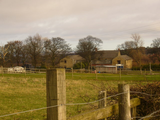
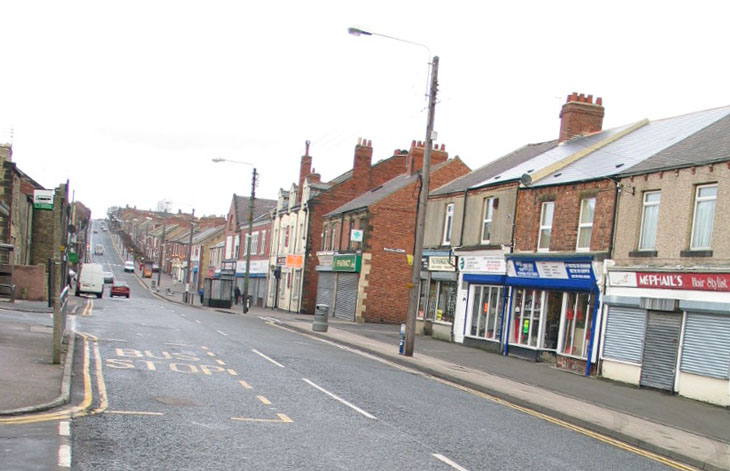
Barley Hill, located in Durham County, is a prominent hill that stands at an elevation of approximately 390 feet (119 meters). Situated in the northeastern part of England, it is positioned within the beautiful countryside just south of the village of Barley. The hill offers breathtaking panoramic views of the surrounding landscape, making it a popular spot for hikers, nature enthusiasts, and photographers.
Barley Hill is characterized by its gently sloping nature, covered in lush green grass and scattered with intermittent patches of trees. The terrain is relatively easy to traverse, making it accessible to visitors of all ages and fitness levels. It is a perfect location for a leisurely stroll, a family picnic, or even a challenging hike for those seeking a more active adventure.
The hill is home to a diverse range of flora and fauna, including wildflowers, birds, and small mammals. It provides a natural habitat for various species and is often visited by birdwatchers who come to observe the local avian population.
Aside from its natural beauty, Barley Hill also holds historical significance. The area surrounding the hill is known for its rich archaeological heritage, with evidence of human occupation dating back thousands of years. Excavations have unearthed artifacts and remnants of ancient settlements, providing valuable insights into the region's past.
Overall, Barley Hill is a picturesque destination that offers a peaceful retreat from the hustle and bustle of everyday life. Whether you are seeking a serene escape in nature, a challenging hike, or an opportunity to reconnect with history, Barley Hill in Durham promises to deliver a memorable experience.
If you have any feedback on the listing, please let us know in the comments section below.
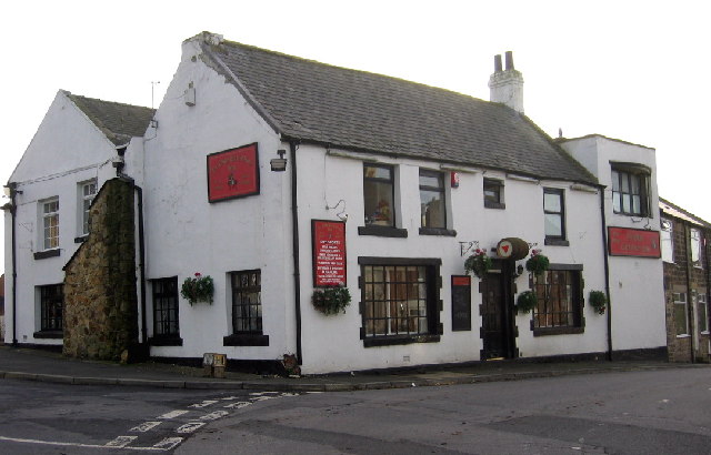
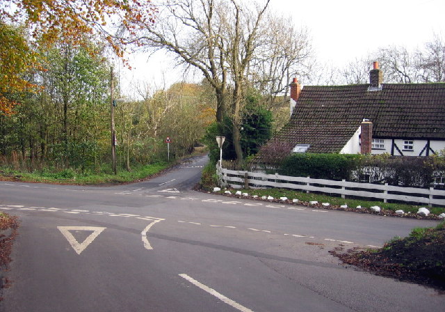
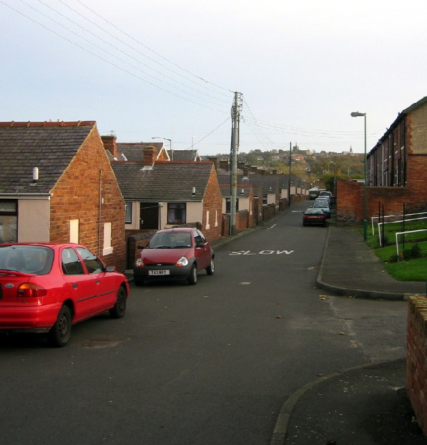
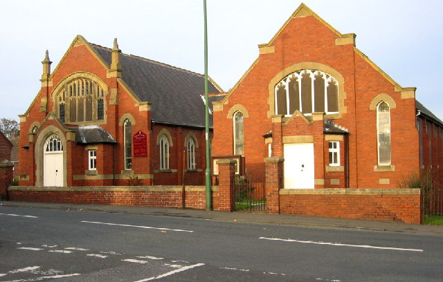
Barley Hill Images
Images are sourced within 2km of 54.869391/-1.7243448 or Grid Reference NZ1752. Thanks to Geograph Open Source API. All images are credited.

Barley Hill is located at Grid Ref: NZ1752 (Lat: 54.869391, Lng: -1.7243448)
Unitary Authority: County Durham
Police Authority: Durham
What 3 Words
///guru.resources.remote. Near Annfield Plain, Co. Durham
Nearby Locations
Related Wikis

East Kyo
East Kyo is a small hamlet in County Durham, England. It is situated a short distance to the west of Stanley, close to Annfield Plain, West Kyo (15 minutes...

Harperley
Harperley is a small village in County Durham, England. It is situated between Tantobie to the north east, Tanfield Lea to the east, Stanley to the south...

New Kyo
New Kyo is a village in County Durham, in England. It is situated close to the A693 road between Annfield Plain and Stanley, and is slightly larger than...

Oxhill, County Durham
Oxhill is a small village in County Durham, in England. It is located to the west of Stanley, on the bottom of the hill which leads up to New Kyo and Annfield...
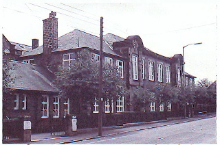
Tanfield School
Tanfield School is a coeducational secondary school in Stanley, County Durham, England, by the border to Tanfield Lea. The school is part of the Eden Learning...
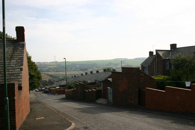
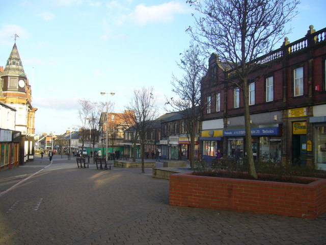
South Moor
South Moor is a village in County Durham, in England. It is located to the south-west of Stanley on the northern slope of the Craghead valley. It is a...

Tanfield Lea
Tanfield Lea is a village north of Stanley, County Durham, England, and south of Tantobie. == Religious sites == There is a Methodist Church, which also...
Shield Row
Shield Row is a village in County Durham, in England. It is situated immediately to the north of Stanley. To the north is Tanfield village. Pubs include...
Nearby Amenities
Located within 500m of 54.869391,-1.7243448Have you been to Barley Hill?
Leave your review of Barley Hill below (or comments, questions and feedback).