West Knighton

Civil Parish in Dorset West Dorset

England

West Knighton

Woodland beside National Cycle Route 2
Woodland beside National Cycle Route 2 Credit: JThomas

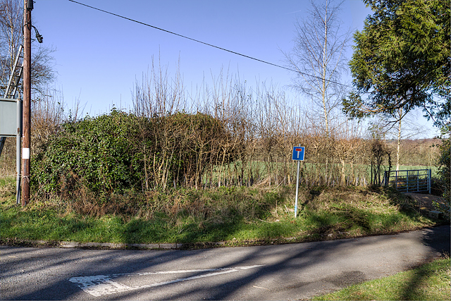
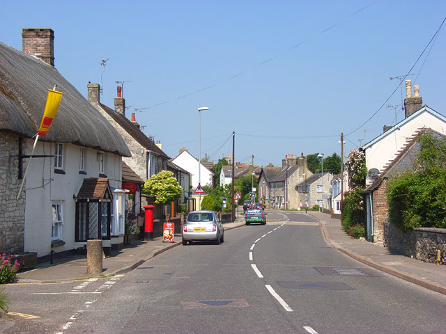
West Knighton is a civil parish located in the county of Dorset, England. Situated approximately 8 miles west of the town of Dorchester, it covers an area of around 4.5 square miles. The village is nestled in a rural setting, surrounded by picturesque countryside and rolling hills.

The population of West Knighton is relatively small, with just over 400 residents as of the latest census. The community is close-knit and has a friendly and welcoming atmosphere. The village consists mainly of traditional stone cottages and farmhouses, adding to its charming character.

Although small in size, West Knighton offers a range of amenities for its residents. These include a village hall, a primary school, and a local pub, serving as a hub for social gatherings and community activities. The village also benefits from good transport links, with regular bus services connecting it to nearby towns and villages.

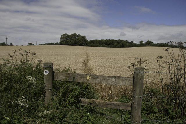
The surrounding countryside provides ample opportunities for outdoor activities such as walking, cycling, and horse riding. The nearby Dorset Area of Outstanding Natural Beauty offers stunning landscapes for nature enthusiasts to explore. Additionally, West Knighton is located within close proximity to the Jurassic Coast, a UNESCO World Heritage Site renowned for its fossil-rich cliffs and beautiful beaches.

Overall, West Knighton, Dorset, is a tranquil and idyllic village that offers a peaceful rural lifestyle, breathtaking scenery, and a strong sense of community.

If you have any feedback on the listing, please let us know in the comments section below.

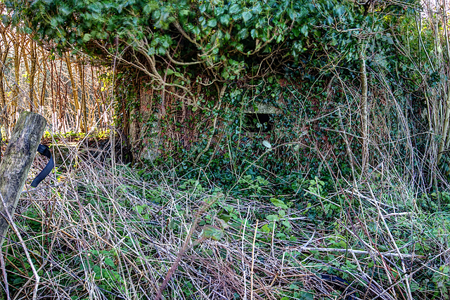
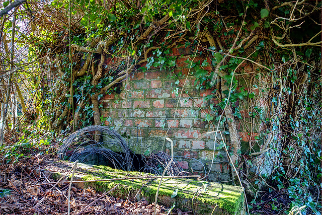
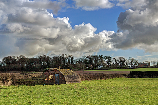
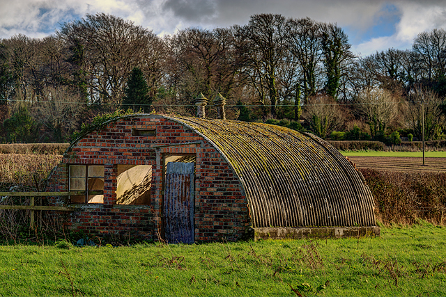
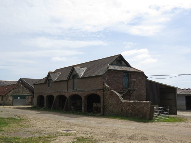
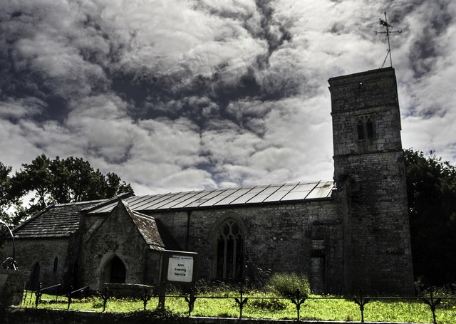
West Knighton Images

Images are sourced within 2km of 50.697034/-2.365839 or Grid Reference SY7488. Thanks to Geograph Open Source API. All images are credited.

Woodland beside National Cycle Route 2
National Cycle Route 2 towards Dorchester
Lonely lane near Norris Mill Farm The footpath south from the farm just dips into this gridsquare, but I'm not sure where the lane leads to. It's quite an empty gridsquare.
Lonely lane near Norris Mill Farm
The footpath south from the farm just dips into this gridsquare, but I'm not sure where the lane leads to. It's quite an empty gridsquare.
Road to West Woodsford It's almost impossible to get a photograph of this gridsquare as there are no rights of way through the square other than this minor road.
Road to West Woodsford
It's almost impossible to get a photograph of this gridsquare as there are no rights of way through the square other than this minor road.
West Stafford: red telephone box The phone box stands in the village centre, on the south side of the main road.
West Stafford: red telephone box
The phone box stands in the village centre, on the south side of the main road.
Defending Dorset in 1940: the Maiden Newton - Poole Harbour Stop Line (50) -
Pillbox (type FW3/22): DoB ID: S0000092

West Stafford - Tenantrees - Type 22 Pillbox.  Yet another overgrown pillbox in this locality, standing in a corner of a field at a road junction, and facing in the direction of the former RAF Warmwell airfield. The large quantity of coiled barbed wire blocking the entrance is supposed to date from WW2. Of standard type 22 brick construction with a concrete floor, it has a concrete roof built with corrugated asbestos sheeting laid over the walls, with the concrete laid on top. The 5 embrasures have been set in concrete within the brick walls.

<a href="https://www.geograph.org.uk/photo/4842343">SY7389 : Defending Dorset in 1940: the Maiden Newton - Poole Harbour Stop Line (51)</a>
Defending Dorset in 1940: the Maiden Newton - Poole Harbour Stop Line (50)
- Pillbox (type FW3/22): DoB ID: S0000092 West Stafford - Tenantrees - Type 22 Pillbox. Yet another overgrown pillbox in this locality, standing in a corner of a field at a road junction, and facing in the direction of the former RAF Warmwell airfield. The large quantity of coiled barbed wire blocking the entrance is supposed to date from WW2. Of standard type 22 brick construction with a concrete floor, it has a concrete roof built with corrugated asbestos sheeting laid over the walls, with the concrete laid on top. The 5 embrasures have been set in concrete within the brick walls. SY7389 : Defending Dorset in 1940: the Maiden Newton - Poole Harbour Stop Line (51)
Defending Dorset in 1940: the Maiden Newton - Poole Harbour Stop Line (51) -
Pillbox (type FW3/22): DoB ID: S0000092

West Stafford - Tenantrees - Type 22 Pillbox.  A view of the rear of the pillbox which is just visible (the front is totally obscured by vegetation).

<a href="https://www.geograph.org.uk/photo/4842345">SY7389 : Defending Dorset in 1940: the Maiden Newton - Poole Harbour Stop Line (52)</a>
Defending Dorset in 1940: the Maiden Newton - Poole Harbour Stop Line (51)
- Pillbox (type FW3/22): DoB ID: S0000092 West Stafford - Tenantrees - Type 22 Pillbox. A view of the rear of the pillbox which is just visible (the front is totally obscured by vegetation). SY7389 : Defending Dorset in 1940: the Maiden Newton - Poole Harbour Stop Line (52)
Defending Dorset in 1940: the Maiden Newton - Poole Harbour Stop Line (52) -
Pillbox (type FW3/22): DoB ID: S0000092

West Stafford - Tenantrees - Type 22 Pillbox.  The entrance doorway below ground level with its retaining wall and 3 steps down, now leads to coils of barbed wire making entry difficult.

<a href="https://www.geograph.org.uk/photo/4842348">SY7489 : Defending Dorset in 1940: the Maiden Newton - Poole Harbour Stop Line (53)</a>
Defending Dorset in 1940: the Maiden Newton - Poole Harbour Stop Line (52)
- Pillbox (type FW3/22): DoB ID: S0000092 West Stafford - Tenantrees - Type 22 Pillbox. The entrance doorway below ground level with its retaining wall and 3 steps down, now leads to coils of barbed wire making entry difficult. SY7489 : Defending Dorset in 1940: the Maiden Newton - Poole Harbour Stop Line (53)
Defending Dorset in 1940: the Maiden Newton - Poole Harbour Stop Line (53) West Stafford - Lower Lewell Farm - Home Guard Hut.  This hut was the Headquarters of a local unit of the Home Guard responsible for the manning of some of the Frome Valley pillboxes, as well as having a commitment to the defence of nearby RAF Warmwell.

Sometimes confused with the ubiquitous Nissen hut, I believe this to be a Turner's Curved Asbestos Hut, built by the Turner Asbestos Company of Trafford Park, Manchester. Similar examples can be seen at a searchlight site at Winterborne Whitechurch: <a title="https://www.geograph.org.uk/photo/5728586" href="https://www.geograph.org.uk/photo/5728586">Link</a>

<a href="https://www.geograph.org.uk/photo/4842351">SY7489 : Defending Dorset in 1940: the Maiden Newton - Poole Harbour Stop Line (54)</a>
Defending Dorset in 1940: the Maiden Newton - Poole Harbour Stop Line (53)
West Stafford - Lower Lewell Farm - Home Guard Hut. This hut was the Headquarters of a local unit of the Home Guard responsible for the manning of some of the Frome Valley pillboxes, as well as having a commitment to the defence of nearby RAF Warmwell. Sometimes confused with the ubiquitous Nissen hut, I believe this to be a Turner's Curved Asbestos Hut, built by the Turner Asbestos Company of Trafford Park, Manchester. Similar examples can be seen at a searchlight site at Winterborne Whitechurch: Link SY7489 : Defending Dorset in 1940: the Maiden Newton - Poole Harbour Stop Line (54)
Defending Dorset in 1940: the Maiden Newton - Poole Harbour Stop Line (54) West Stafford - Lower Lewell Farm - Home Guard Hut.  Located in a field to the south of Lower Lewell Farm is a hut that was once the Headquarters of a local unit of the Home Guard. They were responsible for the manning of some of the Frome Valley pillboxes, as well as having a commitment to the defence of nearby RAF Warmwell.

Sometimes confused with the ubiquitous Nissen hut, I believe this to be a Turner's Curved Asbestos Hut, built by the Turner Asbestos Company of Trafford Park, Manchester. Similar examples can be seen at a searchlight site at Winterborne Whitechurch: <a title="https://www.geograph.org.uk/photo/5728586" href="https://www.geograph.org.uk/photo/5728586">Link</a>

<a href="https://www.geograph.org.uk/photo/4842359">SY7590 : Defending Dorset in 1940: the Maiden Newton - Poole Harbour Stop Line (55)</a>
Defending Dorset in 1940: the Maiden Newton - Poole Harbour Stop Line (54)
West Stafford - Lower Lewell Farm - Home Guard Hut. Located in a field to the south of Lower Lewell Farm is a hut that was once the Headquarters of a local unit of the Home Guard. They were responsible for the manning of some of the Frome Valley pillboxes, as well as having a commitment to the defence of nearby RAF Warmwell. Sometimes confused with the ubiquitous Nissen hut, I believe this to be a Turner's Curved Asbestos Hut, built by the Turner Asbestos Company of Trafford Park, Manchester. Similar examples can be seen at a searchlight site at Winterborne Whitechurch: Link SY7590 : Defending Dorset in 1940: the Maiden Newton - Poole Harbour Stop Line (55)
Footpath through field of maize near Talbothays
Stafford Farm
Stafford Farm
Talbothays Cottages
Talbothays Cottages
West Stafford
West Stafford
St Andrew's Church, West Stafford
St Peter's Church, West Knighton Thomas Hardy was involved in the reconstruction of this church in the 19th Century.
St Peter's Church, West Knighton
Thomas Hardy was involved in the reconstruction of this church in the 19th Century.
Footpath near Lower Glebe Farm There is a junction in the footpaths here, a local footpath heading north towards West Stafford and the Jubilee Trail heading west.
Footpath near Lower Glebe Farm
There is a junction in the footpaths here, a local footpath heading north towards West Stafford and the Jubilee Trail heading west.
West Stafford Village Hall Overlooking the village square: <span class="nowrap"><a title="http://www.weststafford.com/the_village_hall/the_village_hall.htm" rel="nofollow ugc noopener" href="http://www.weststafford.com/the_village_hall/the_village_hall.htm">Link</a><img style="margin-left:2px;" alt="External link" title="External link - shift click to open in new window" src="https://s1.geograph.org.uk/img/external.png" width="10" height="10"/></span> The C19 building is listed by Historic England, Grade II: <span class="nowrap"><a title="http://www.imagesofengland.org.uk/Details/Default.aspx?id=106387&mode=adv" rel="nofollow ugc noopener" href="http://www.imagesofengland.org.uk/Details/Default.aspx?id=106387&mode=adv">Link</a><img style="margin-left:2px;" alt="External link" title="External link - shift click to open in new window" src="https://s1.geograph.org.uk/img/external.png" width="10" height="10"/></span>
West Stafford Village Hall
Overlooking the village square: LinkExternal link The C19 building is listed by Historic England, Grade II: LinkExternal link
Show me another place!

West Knighton is located at Grid Ref: SY7488 (Lat: 50.697034, Lng: -2.365839)

Administrative County: Dorset

District: West Dorset

Police Authority: Dorset

What 3 Words

///pods.training.building. Near Dorchester, Dorset

Related Wikis

West Knighton, Dorset

West Knighton is a village and civil parish in Dorset, England, situated 3 miles (4.8 km) southeast of the county town Dorchester. It has an 11th-century...

RAF Warmwell

Royal Air Force Warmwell or more simply RAF Warmwell is a former Royal Air Force station near Warmwell in Dorset, England from 1937 to 1946, located about...

West Stafford

West Stafford is a village and civil parish in southwest Dorset, England, situated in the Frome valley 2 miles (3.2 km) east of Dorchester. In the 2011...

Warmwell

Warmwell is a small village and civil parish in south west Dorset, England, situated on the B3390 road about 5 miles (8.0 km) southeast of Dorchester....

Frome Billet

Frome Billet is a former village in Dorset, just to the north of West Stafford.It is mentioned in the Domesday Book. There is slight archaeological evidence...

Mayne Preceptory

Mayne Preceptory was a medieval house of Knights Hospitaller in Dorset, England, which caused the name of the settlement to change from Domesday-era Maine...

Broadmayne

Broadmayne is a village in the English county of Dorset. It lies two miles south-east of the county town Dorchester. The A352 main road between Dorchester...

Whitcombe, Dorset

Whitcombe is a small village and civil parish in the Dorset unitary authority area of Dorset, England, situated 2 miles (3.2 km) southeast of Dorchester...

Have you been to West Knighton?

Leave your review of West Knighton below (or comments, questions and feedback).