Knighton Heath Wood

Wood, Forest in Dorset

England

Knighton Heath Wood

National Cycle Route 2, West Woodsford
National Cycle Route 2, West Woodsford Credit: JThomas

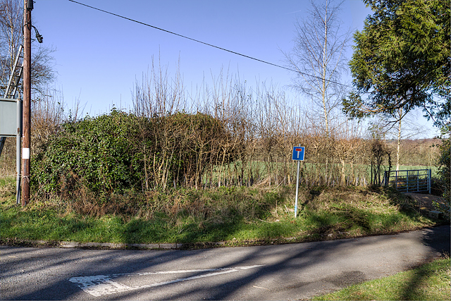
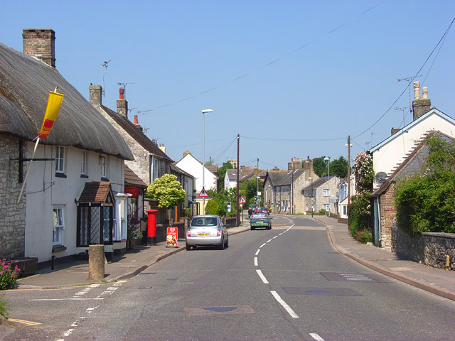
Knighton Heath Wood is a picturesque wooded area located in Dorset, England. Covering an area of approximately 20 hectares, it is a popular destination for nature enthusiasts and those seeking tranquil surroundings. The wood is situated near the town of Poole, just a short distance from the beautiful sandy beaches of Bournemouth.

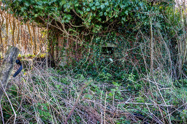
This woodland area is primarily composed of oak and hazel trees, creating a diverse and vibrant ecosystem. The dense foliage provides a habitat for a wide range of wildlife, including various bird species, small mammals, and insects. Visitors to Knighton Heath Wood may be lucky enough to spot deer, foxes, and badgers traversing through the undergrowth.

The wood offers several walking trails, which allow visitors to explore its natural beauty at their own pace. These paths wind through the trees, leading to open meadows and peaceful clearings, perfect for picnics or simply enjoying the peaceful ambiance. There is also a designated play area for young children, providing a safe space for families to spend quality time together.

Knighton Heath Wood is managed by the local council, who ensure the preservation of its natural features and maintain the walking trails. The wood is open to the public year-round, with no admission fee, making it an accessible destination for all nature lovers. Whether you are interested in birdwatching, photography, or simply enjoying a peaceful walk surrounded by nature, Knighton Heath Wood offers a serene and enchanting experience for visitors.

If you have any feedback on the listing, please let us know in the comments section below.

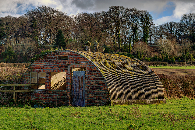
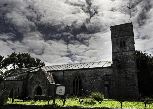
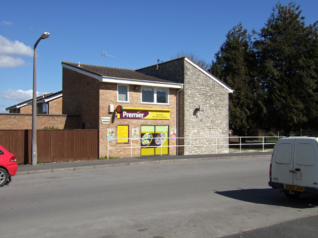
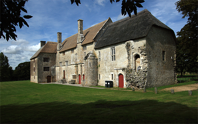
Knighton Heath Wood Images

Images are sourced within 2km of 50.69627/-2.3579325 or Grid Reference SY7488. Thanks to Geograph Open Source API. All images are credited.

National Cycle Route 2, West Woodsford
National Cycle Route 2 towards Dorchester
Woodland beside National Cycle Route 2
National Cycle Route 2 towards Dorchester
Defending Dorset in 1940: the Maiden Newton - Poole Harbour Stop Line (55) -
Pillbox type FW3/26 (variant): DoB ID: S0000094

Woodsford Castle - Square Pillbox, Type 26 Variant.  This is an unusual 11 ft square pillbox partly disguised by being built into the garden wall of Woodsford Castle. It has 20 in. brick walls with three embrasures, the main embrasure facing south (towards RAF Warmwell), the other two are on the east, and west sides respectively. The entrance on the north side to the rear, is accessed from inside the walled garden via two descending steps. The aperture of the front embrasure both on the inside and outside is 24 ins. wide, narrowing to 13 in. inside at the 'throat'. The other two embrasures positioned towards the front corners of the side walls are much smaller. Both the roof and floor are of concrete, the former being shuttered, the latter smooth. Overall it can be seen that the pillbox is in very poor condition, with the outer part of the west wall having fallen away exposing the interior on that side.

<a href="https://www.geograph.org.uk/photo/4842362">SY7590 : Defending Dorset in 1940: the Maiden Newton - Poole Harbour Stop Line (56)</a>
Defending Dorset in 1940: the Maiden Newton - Poole Harbour Stop Line (55)
- Pillbox type FW3/26 (variant): DoB ID: S0000094 Woodsford Castle - Square Pillbox, Type 26 Variant. This is an unusual 11 ft square pillbox partly disguised by being built into the garden wall of Woodsford Castle. It has 20 in. brick walls with three embrasures, the main embrasure facing south (towards RAF Warmwell), the other two are on the east, and west sides respectively. The entrance on the north side to the rear, is accessed from inside the walled garden via two descending steps. The aperture of the front embrasure both on the inside and outside is 24 ins. wide, narrowing to 13 in. inside at the 'throat'. The other two embrasures positioned towards the front corners of the side walls are much smaller. Both the roof and floor are of concrete, the former being shuttered, the latter smooth. Overall it can be seen that the pillbox is in very poor condition, with the outer part of the west wall having fallen away exposing the interior on that side. SY7590 : Defending Dorset in 1940: the Maiden Newton - Poole Harbour Stop Line (56)
Defending Dorset in 1940: the Maiden Newton - Poole Harbour Stop Line (56) -
Pillbox type FW3/26 (variant): DoB ID: S0000094

Woodsford Castle - Square Pillbox, Type 26 Variant.  An interesting juxtaposition of two very different fortifications, one from the mid-C20, the other from the C14.

<a href="https://www.geograph.org.uk/photo/4842364">SY7590 : Defending Dorset in 1940: the Maiden Newton - Poole Harbour Stop Line (57)</a>
Defending Dorset in 1940: the Maiden Newton - Poole Harbour Stop Line (56)
- Pillbox type FW3/26 (variant): DoB ID: S0000094 Woodsford Castle - Square Pillbox, Type 26 Variant. An interesting juxtaposition of two very different fortifications, one from the mid-C20, the other from the C14. SY7590 : Defending Dorset in 1940: the Maiden Newton - Poole Harbour Stop Line (57)
Defending Dorset in 1940: the Maiden Newton - Poole Harbour Stop Line (57) -
Pillbox type FW3/26 (variant): DoB ID: S0000094

Woodsford Castle - Square Pillbox, Type 26 Variant.  The first of two interior views, this one taken from the entrance doorway looking towards the main embrasure at the front, and showing the positioning of the other two embrasures towards the front corners of the side walls.

<a href="https://www.geograph.org.uk/photo/4842367">SY7590 : Defending Dorset in 1940: the Maiden Newton - Poole Harbour Stop Line (58)</a>
Defending Dorset in 1940: the Maiden Newton - Poole Harbour Stop Line (57)
- Pillbox type FW3/26 (variant): DoB ID: S0000094 Woodsford Castle - Square Pillbox, Type 26 Variant. The first of two interior views, this one taken from the entrance doorway looking towards the main embrasure at the front, and showing the positioning of the other two embrasures towards the front corners of the side walls. SY7590 : Defending Dorset in 1940: the Maiden Newton - Poole Harbour Stop Line (58)
Defending Dorset in 1940: the Maiden Newton - Poole Harbour Stop Line (58) -
Pillbox type FW3/26 (variant): DoB ID: S0000094

Woodsford Castle -Square Pillbox, Type 26 Variant.  The second interior view taken from the front embrasure looking inside towards the entrance doorway. Note the clay pipe smoke vent at ceiling level on the right.

<a href="https://www.geograph.org.uk/photo/4842373">SY7691 : Defending Dorset in 1940: the Maiden Newton - Poole Harbour Stop Line (59)</a>
Defending Dorset in 1940: the Maiden Newton - Poole Harbour Stop Line (58)
- Pillbox type FW3/26 (variant): DoB ID: S0000094 Woodsford Castle -Square Pillbox, Type 26 Variant. The second interior view taken from the front embrasure looking inside towards the entrance doorway. Note the clay pipe smoke vent at ceiling level on the right. SY7691 : Defending Dorset in 1940: the Maiden Newton - Poole Harbour Stop Line (59)
Bus Stop, West Woodsford
Road to West Woodsford It's almost impossible to get a photograph of this gridsquare as there are no rights of way through the square other than this minor road.
Road to West Woodsford
It's almost impossible to get a photograph of this gridsquare as there are no rights of way through the square other than this minor road.
Defending Dorset in 1940: the Maiden Newton - Poole Harbour Stop Line (50) -
Pillbox (type FW3/22): DoB ID: S0000092

West Stafford - Tenantrees - Type 22 Pillbox.  Yet another overgrown pillbox in this locality, standing in a corner of a field at a road junction, and facing in the direction of the former RAF Warmwell airfield. The large quantity of coiled barbed wire blocking the entrance is supposed to date from WW2. Of standard type 22 brick construction with a concrete floor, it has a concrete roof built with corrugated asbestos sheeting laid over the walls, with the concrete laid on top. The 5 embrasures have been set in concrete within the brick walls.

<a href="https://www.geograph.org.uk/photo/4842343">SY7389 : Defending Dorset in 1940: the Maiden Newton - Poole Harbour Stop Line (51)</a>
Defending Dorset in 1940: the Maiden Newton - Poole Harbour Stop Line (50)
- Pillbox (type FW3/22): DoB ID: S0000092 West Stafford - Tenantrees - Type 22 Pillbox. Yet another overgrown pillbox in this locality, standing in a corner of a field at a road junction, and facing in the direction of the former RAF Warmwell airfield. The large quantity of coiled barbed wire blocking the entrance is supposed to date from WW2. Of standard type 22 brick construction with a concrete floor, it has a concrete roof built with corrugated asbestos sheeting laid over the walls, with the concrete laid on top. The 5 embrasures have been set in concrete within the brick walls. SY7389 : Defending Dorset in 1940: the Maiden Newton - Poole Harbour Stop Line (51)
Defending Dorset in 1940: the Maiden Newton - Poole Harbour Stop Line (51) -
Pillbox (type FW3/22): DoB ID: S0000092

West Stafford - Tenantrees - Type 22 Pillbox.  A view of the rear of the pillbox which is just visible (the front is totally obscured by vegetation).

<a href="https://www.geograph.org.uk/photo/4842345">SY7389 : Defending Dorset in 1940: the Maiden Newton - Poole Harbour Stop Line (52)</a>
Defending Dorset in 1940: the Maiden Newton - Poole Harbour Stop Line (51)
- Pillbox (type FW3/22): DoB ID: S0000092 West Stafford - Tenantrees - Type 22 Pillbox. A view of the rear of the pillbox which is just visible (the front is totally obscured by vegetation). SY7389 : Defending Dorset in 1940: the Maiden Newton - Poole Harbour Stop Line (52)
Defending Dorset in 1940: the Maiden Newton - Poole Harbour Stop Line (52) -
Pillbox (type FW3/22): DoB ID: S0000092

West Stafford - Tenantrees - Type 22 Pillbox.  The entrance doorway below ground level with its retaining wall and 3 steps down, now leads to coils of barbed wire making entry difficult.

<a href="https://www.geograph.org.uk/photo/4842348">SY7489 : Defending Dorset in 1940: the Maiden Newton - Poole Harbour Stop Line (53)</a>
Defending Dorset in 1940: the Maiden Newton - Poole Harbour Stop Line (52)
- Pillbox (type FW3/22): DoB ID: S0000092 West Stafford - Tenantrees - Type 22 Pillbox. The entrance doorway below ground level with its retaining wall and 3 steps down, now leads to coils of barbed wire making entry difficult. SY7489 : Defending Dorset in 1940: the Maiden Newton - Poole Harbour Stop Line (53)
Defending Dorset in 1940: the Maiden Newton - Poole Harbour Stop Line (53) West Stafford - Lower Lewell Farm - Home Guard Hut.  This hut was the Headquarters of a local unit of the Home Guard responsible for the manning of some of the Frome Valley pillboxes, as well as having a commitment to the defence of nearby RAF Warmwell.

Sometimes confused with the ubiquitous Nissen hut, I believe this to be a Turner's Curved Asbestos Hut, built by the Turner Asbestos Company of Trafford Park, Manchester. Similar examples can be seen at a searchlight site at Winterborne Whitechurch: <a title="https://www.geograph.org.uk/photo/5728586" href="https://www.geograph.org.uk/photo/5728586">Link</a>

<a href="https://www.geograph.org.uk/photo/4842351">SY7489 : Defending Dorset in 1940: the Maiden Newton - Poole Harbour Stop Line (54)</a>
Defending Dorset in 1940: the Maiden Newton - Poole Harbour Stop Line (53)
West Stafford - Lower Lewell Farm - Home Guard Hut. This hut was the Headquarters of a local unit of the Home Guard responsible for the manning of some of the Frome Valley pillboxes, as well as having a commitment to the defence of nearby RAF Warmwell. Sometimes confused with the ubiquitous Nissen hut, I believe this to be a Turner's Curved Asbestos Hut, built by the Turner Asbestos Company of Trafford Park, Manchester. Similar examples can be seen at a searchlight site at Winterborne Whitechurch: Link SY7489 : Defending Dorset in 1940: the Maiden Newton - Poole Harbour Stop Line (54)
Defending Dorset in 1940: the Maiden Newton - Poole Harbour Stop Line (54) West Stafford - Lower Lewell Farm - Home Guard Hut.  Located in a field to the south of Lower Lewell Farm is a hut that was once the Headquarters of a local unit of the Home Guard. They were responsible for the manning of some of the Frome Valley pillboxes, as well as having a commitment to the defence of nearby RAF Warmwell.

Sometimes confused with the ubiquitous Nissen hut, I believe this to be a Turner's Curved Asbestos Hut, built by the Turner Asbestos Company of Trafford Park, Manchester. Similar examples can be seen at a searchlight site at Winterborne Whitechurch: <a title="https://www.geograph.org.uk/photo/5728586" href="https://www.geograph.org.uk/photo/5728586">Link</a>

<a href="https://www.geograph.org.uk/photo/4842359">SY7590 : Defending Dorset in 1940: the Maiden Newton - Poole Harbour Stop Line (55)</a>
Defending Dorset in 1940: the Maiden Newton - Poole Harbour Stop Line (54)
West Stafford - Lower Lewell Farm - Home Guard Hut. Located in a field to the south of Lower Lewell Farm is a hut that was once the Headquarters of a local unit of the Home Guard. They were responsible for the manning of some of the Frome Valley pillboxes, as well as having a commitment to the defence of nearby RAF Warmwell. Sometimes confused with the ubiquitous Nissen hut, I believe this to be a Turner's Curved Asbestos Hut, built by the Turner Asbestos Company of Trafford Park, Manchester. Similar examples can be seen at a searchlight site at Winterborne Whitechurch: Link SY7590 : Defending Dorset in 1940: the Maiden Newton - Poole Harbour Stop Line (55)
Footpath through field of maize near Talbothays
Talbothays Cottages
Talbothays Cottages
St Peter's Church, West Knighton Thomas Hardy was involved in the reconstruction of this church in the 19th Century.
St Peter's Church, West Knighton
Thomas Hardy was involved in the reconstruction of this church in the 19th Century.
Show me another place!

Knighton Heath Wood is located at Grid Ref: SY7488 (Lat: 50.69627, Lng: -2.3579325)

Unitary Authority: Dorset

Police Authority: Dorset

What 3 Words

///insect.lifted.escalated. Near Dorchester, Dorset

Related Wikis

RAF Warmwell

Royal Air Force Warmwell or more simply RAF Warmwell is a former Royal Air Force station near Warmwell in Dorset, England from 1937 to 1946, located about...

Warmwell

Warmwell is a small village and civil parish in south west Dorset, England, situated on the B3390 road about 5 miles (8.0 km) southeast of Dorchester....

West Knighton, Dorset

West Knighton is a village and civil parish in Dorset, England, situated 3 miles (4.8 km) southeast of the county town Dorchester. It has an 11th-century...

Crossways, Dorset

Crossways is a village and civil parish in the English county of Dorset. It lies 6 miles (9.7 km) east of the county town Dorchester. In the 2011 census...

West Stafford

West Stafford is a village and civil parish in southwest Dorset, England, situated in the Frome valley 2 miles (3.2 km) east of Dorchester. In the 2011...

Woodsford

Woodsford is a village and civil parish beside the River Frome, Dorset, England, about 4 miles (6.4 km) east of the county town Dorchester. Dorset County...

Broadmayne

Broadmayne is a village in the English county of Dorset. It lies two miles south-east of the county town Dorchester. The A352 main road between Dorchester...

Mayne Preceptory

Mayne Preceptory was a medieval house of Knights Hospitaller in Dorset, England, which caused the name of the settlement to change from Domesday-era Maine...

Nearby Amenities

Located within 500m of 50.69627,-2.3579325
Power: tower
Ref: 4VN 48
Source: Bing
Source Ref: interpolation
Lat/Long: 50.694312/-2.351863
The data included in this document is from www.openstreetmap.org. The data is made available under ODbL.

Have you been to Knighton Heath Wood?

Leave your review of Knighton Heath Wood below (or comments, questions and feedback).